ラーチェス-レースのおすすめ登山&山歩きルート
4.9
(131)
890
ハイカー
12
ハイキング
南チロルの山々をもっと探索しませんか?このガイドでご紹介するのは、komootがラーチェス-レースでの登山&山歩きのコレクション全体を評価して選び抜いた、このエリアの人気ルートです。あなたに合ったルートを見つけるには、他のユーザーがアップロードした役立つ情報や写真を閲覧し、クリック操作で簡単に表示できる詳細なデータを参考にしましょう。ラーチェス-レースでの次の冒険にぴったりの登山&山歩きルートが見つかるはずです。
最終更新日: 10月 11, 2026
5.0
(2)
16
ハイカー
14.2km
07:44
1,290m
1,290m
難しい登山ルート. 標準以上のフィットネスレベルが必要です。 安定して歩行できる技術、丈夫な靴、高標高地での登山経験が必要です。
4.5
(2)
17
ハイカー
難しい登山ルート. ある程度のフィットネスレベルが必要です。 安定して歩行できる技術、丈夫な靴、高標高地での登山経験が必要です。

5.0
(5)
15
ハイカー
7.33km
03:57
670m
670m
中程度の登山ルート. ある程度のフィットネスレベルが必要です。 全般的に進みやすいルートです。安定して歩行できる技術が必要です。
5.0
(1)
10
ハイカー
難しい登山ルート. ある程度のフィットネスレベルが必要です。 安定して歩行できる技術、丈夫な靴、高標高地での登山経験が必要です。
8
ハイカー
12.1km
06:27
1,090m
1,090m
難しい登山ルート. 標準以上のフィットネスレベルが必要です。 安定して歩行できる技術、丈夫な靴、高標高地での登山経験が必要です。
さらに多くのルートや他のユーザーのおすすめ情報を確認できます。
すでにアカウントをお持ちですか?
おすすめのツアーは他のkomootユーザーが実際に経験した何千ものアクティビティに基づいています。
無料アカウントで今日から始めよう
次の冒険が待っています。
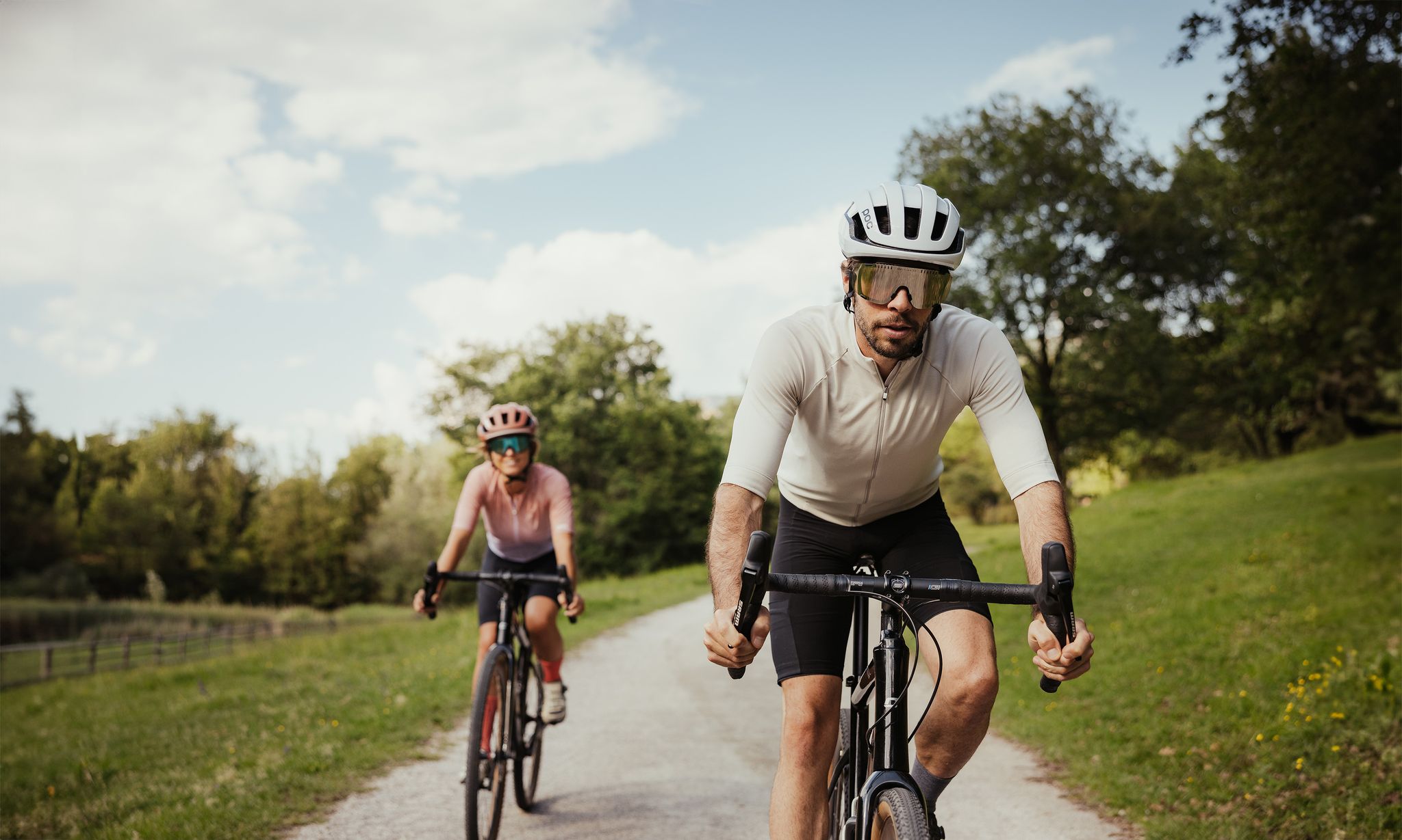
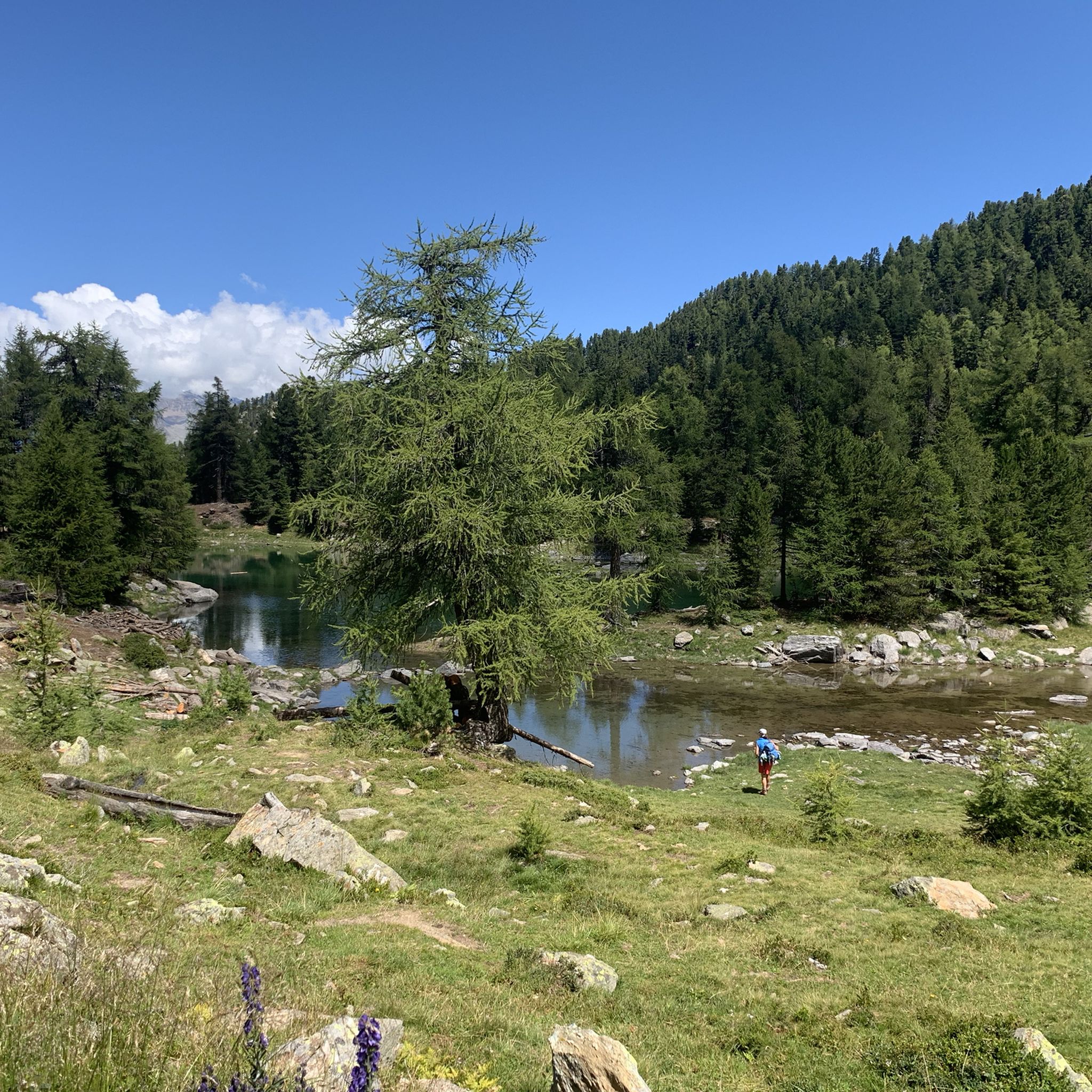
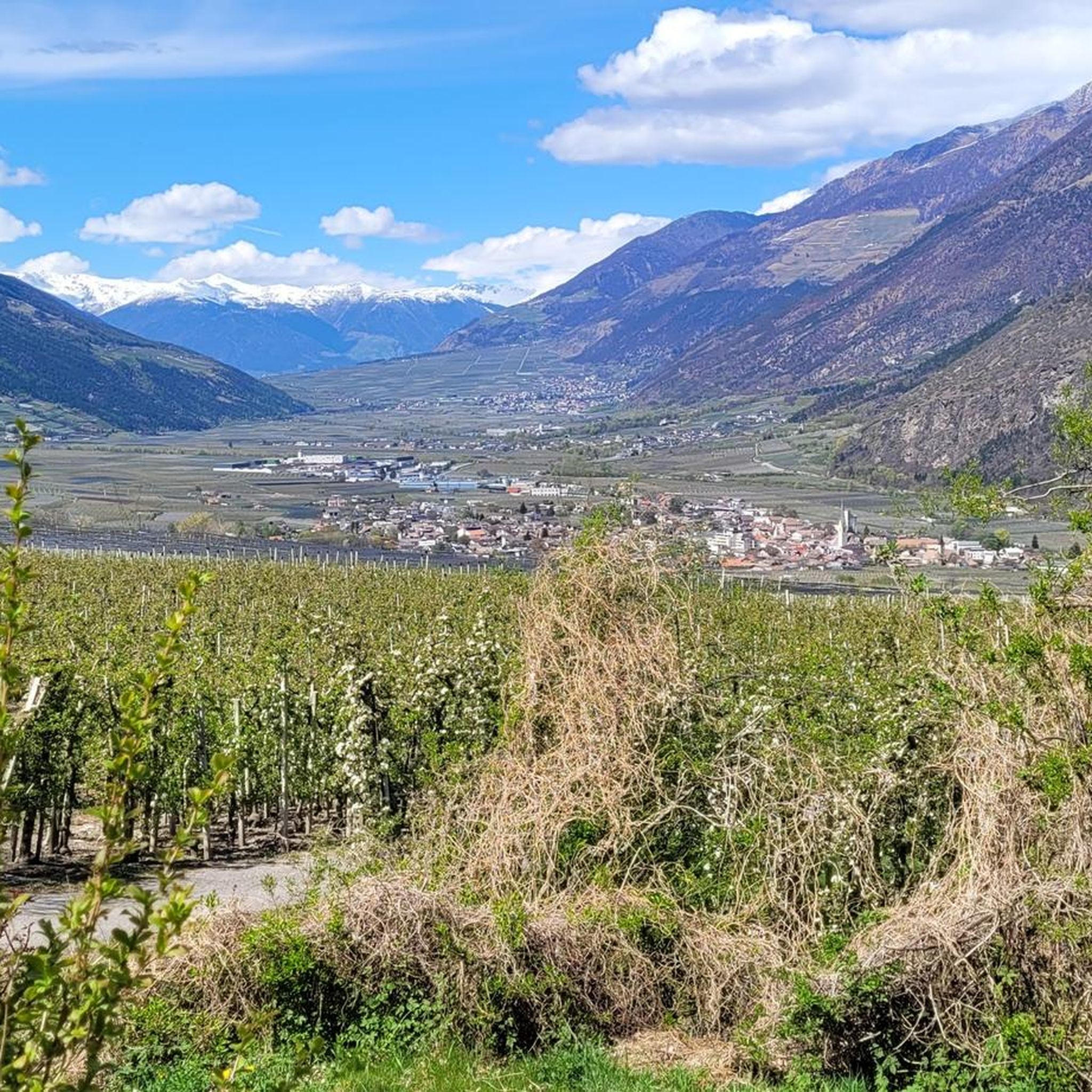
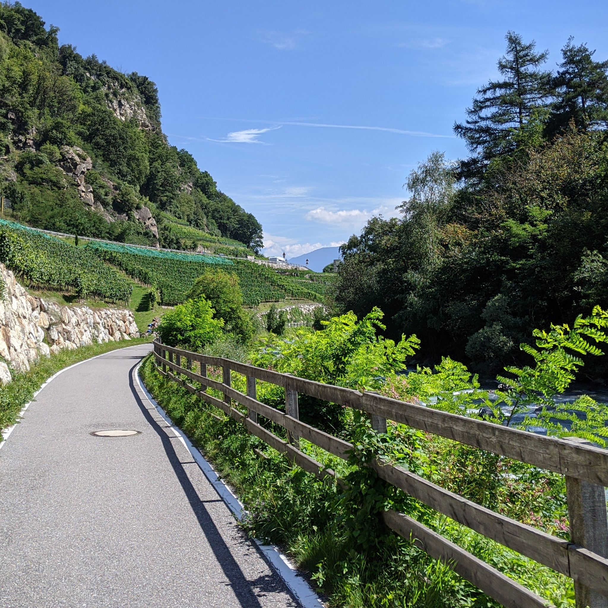
ラーチェス-レースでのの他の冒険


コミュニティからのヒント


There are actually two Hohe Diebe peaks: the slightly lower southern peak (2,712 m) on the Ulten side, with a large summit cross, and the highest point on the Vinschgau side, at 2,730 m, with a small wooden marker. The transition between the peaks is unmarked, but easy to do. According to Wikipedia, the origin of the name is unclear.
0
0

Excellent panorama, reasonably priced, and a recommended place to stop for refreshments with a wide range of affordable options
1
0
Difficulty level according to SAC (Swiss Alpine Club) maximum 2nd grade, provided you do not leave the marked paths.
0
0
The two peaks of the Hoher Diebe (2,730 m on the Vinschgau side) and the Ulten side (2,723 m) offer, in good weather, an excellent panoramic view (Ultental, Vinschgau, Ortler Group, Ötztal, Stubai, Zillertal Alps and Dolomites) and are always a very worthwhile destination, as are the two crystal-clear Kofelraster Lakes (2,405 m) a good 300 m lower.
1
1

Very friendly staff and good food. You can buy homemade cheese at a very reasonable price.
1
0

Latsch in Vinschgau is the starting point of our little hike. We take the cable car to the village of St. Martin im Kofel, which is located on a steep slope at 1,740 m above sea level. As the good weather is not expected to last all day, we have decided on a relatively short tour. From St. Martin we hike along path no. 2 (Vinschgau High Trail) in an easterly direction (Trumsberg). The path is initially asphalted, then a pleasantly wide forest road. The Sonnenberg is a small paradise of alpine flowers that have a magical attraction for a wide variety of butterfly species.
1
0

Very new cable car at normal prices. You can even buy muzzles for dogs at the valley station if necessary.
1
0

komootモバイルアプリでインスピレーションを得よう


さらに探索
他の地域の最高の登山ハイキング & ルートを見てみましょう。
