ポマーリコのおすすめウォーキング&ハイキングルート
4.3
(42)
171
ハイカー
19
ハイキング
ポマーリコ周辺でのハイキングは、景色を満喫するのに最適な手段のひとつですが、適切なハイキングルートを見つけることは簡単ではありません。 ポマーリコ周辺の人気ハイキング&ウォーキングコースを参考にすれば、行きたいルートをすぐに見つけられます。
最終更新日: 10月 25, 2026
7
ハイカー
15.8km
04:11
150m
150m
中程度のハイキング. ある程度のフィットネスレベルが必要です。 ほとんどが歩ける道です。足元への注意が必要です。
2
ハイカー
9.09km
02:47
320m
320m
中程度のハイキング. ある程度のフィットネスレベルが必要です。 歩きやすい道です。

4.4
(5)
10
ハイカー
8.61km
02:54
330m
330m
中程度のハイキング. ある程度のフィットネスレベルが必要です。 ほとんどが歩ける道です。足元への注意が必要です。
4.0
(5)
9
ハイカー
中程度のハイキング. ある程度のフィットネスレベルが必要です。 歩きやすい道です。
4.5
(2)
8
ハイカー
16.8km
04:51
400m
400m
中程度のハイキング. ある程度のフィットネスレベルが必要です。 歩きやすい道です。
さらに多くのルートや他のユーザーのおすすめ情報を確認できます。
すでにアカウントをお持ちですか?
おすすめのツアーは他のkomootユーザーが実際に経験した何千ものアクティビティに基づいています。
無料アカウントで今日から始めよう
次の冒険が待っています。
コミュニティからのヒント

Excellent stop for coffee/pastries before going back down the cliff towards the cable
0
0


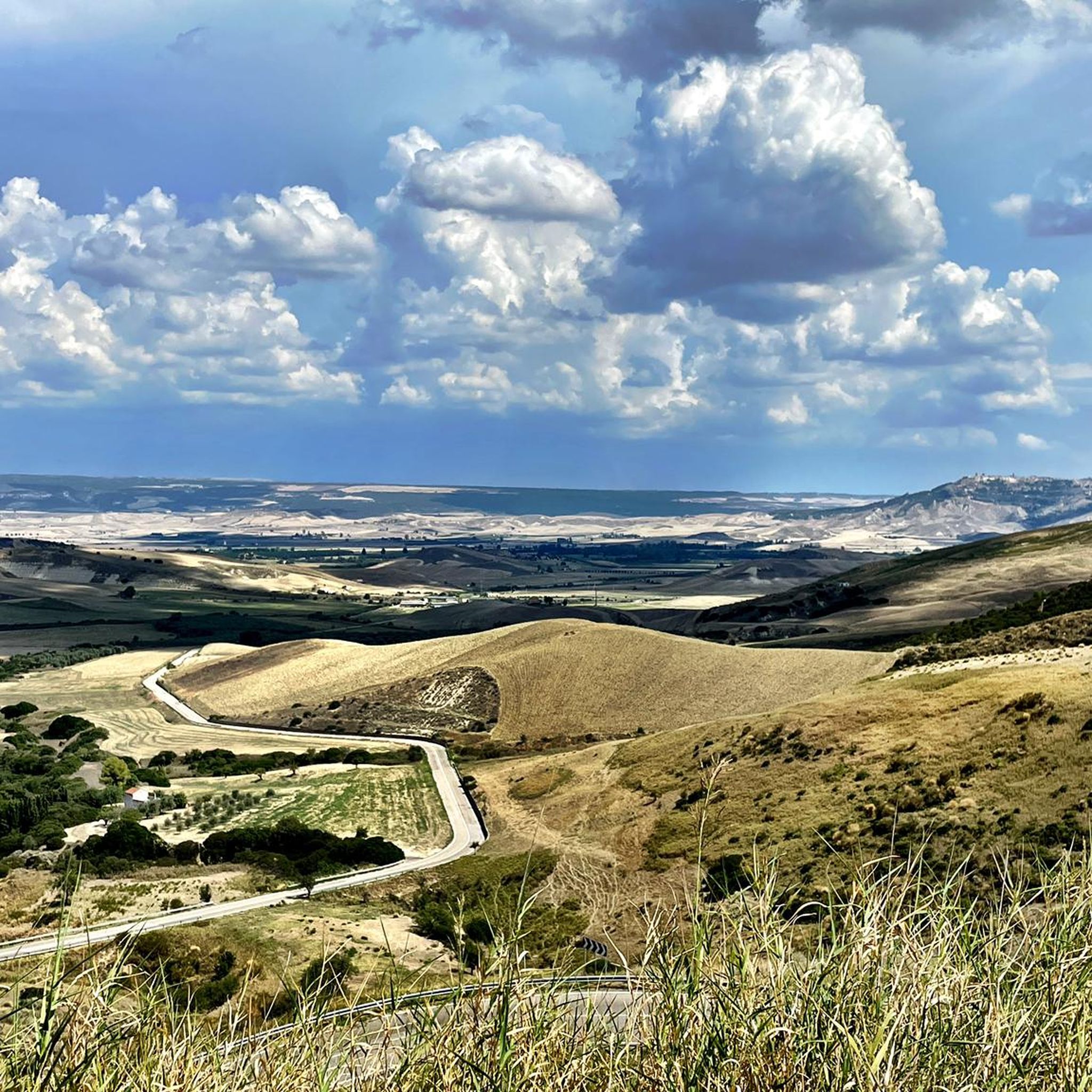
Beautiful view of one of the main rivers of Basilicata. Canyons, cliffs, suggestive ravines and a rich presence of birdlife.
0
0

The Bradano flows into the lake from the northwest and leaves it in the southeast.
0
0

Located in the San Giuliano regional reserve, which is a protected area located between the municipalities of Matera, Miglionico and Grottole, the dam on the Bradano river was created in the 1950s and is clearly visible from this point. The lake has become an oasis managed by the WWF since the end of the 1980s, while in 2006 part of the fossil skeleton of a whale dating back to the Pleistocene was found on its banks. The lake itself extends for almost ten square kilometers.
2
0

Pisticci, a natural amphitheater between hills and the Ionian Sea, stands out for its unique charm. The three hills, Serra Cipolla, San Francesco and Monte Corno, surround an Italian municipality that embraces a varied landscape. Among the hamlets such as Casinello, Centro Agricolo and Marina di Pisticci, the beauty of this location emerges. Located between the Basento and Cavone rivers, Pisticci connects the ancient eastern plateau to the Ionian coast, although the clay hills to the west present natural challenges. With its S shape, it is the balcony over the Ionian Sea, offering breathtaking views and telling a story that is reflected in the architecture and dominant position. Pisticci captures the heart with its picturesque nature and role as a privileged spectator on the splendor of the Ionian Sea.
3
0
Pure Relaxation - It presents indications of a hypothetical cycle/pedestrian route, but with sections that are actually not very practicable and cared for. MTB advice.
2
0

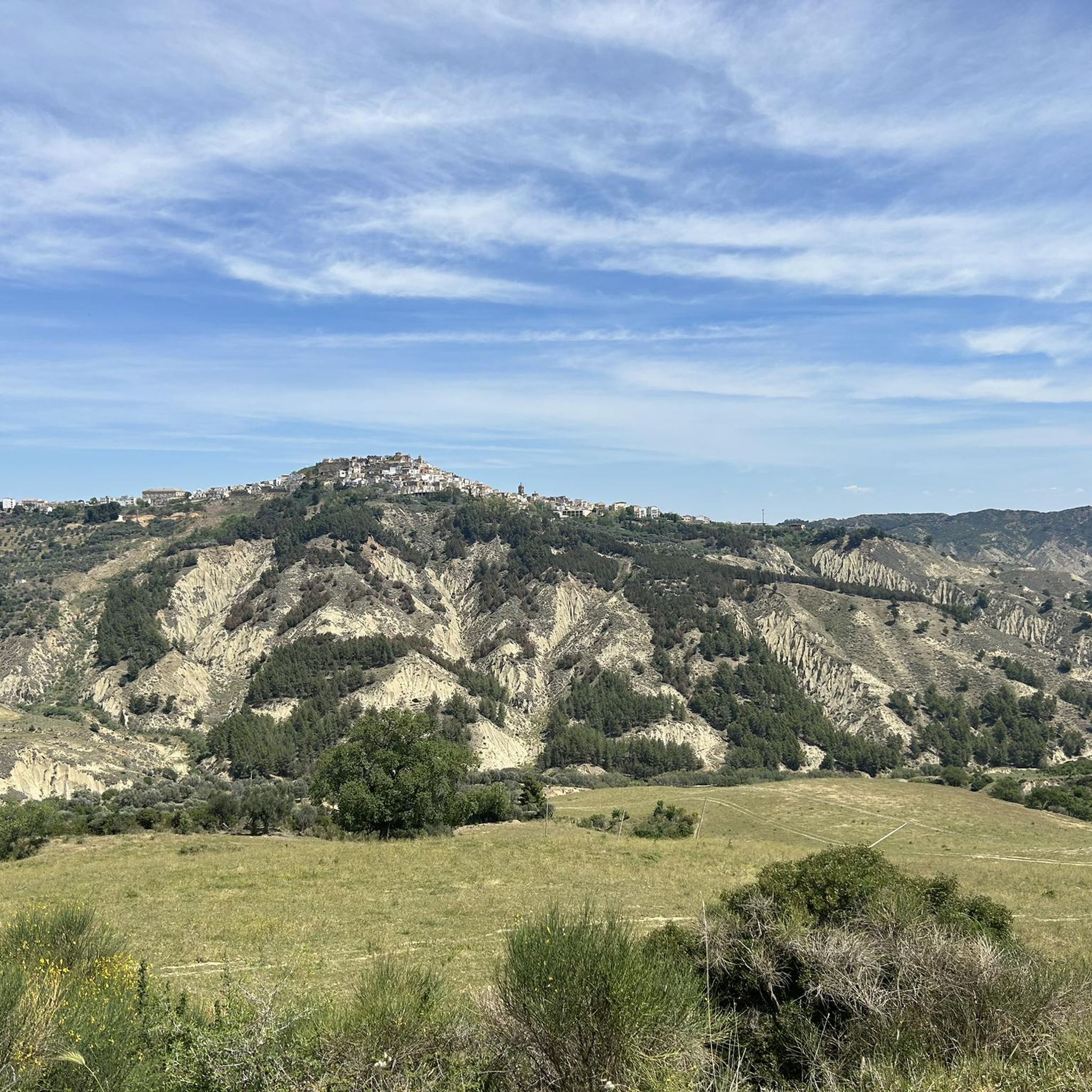
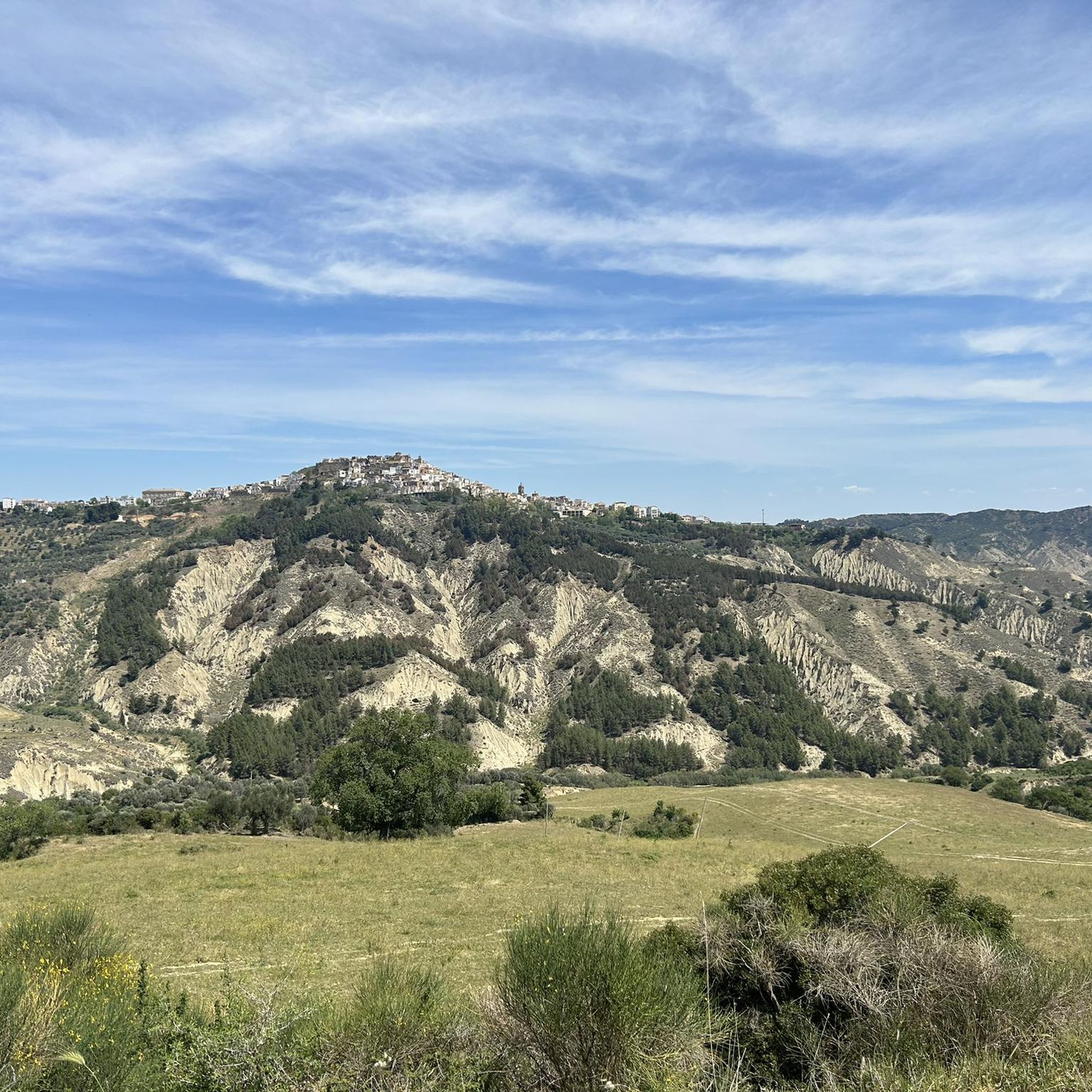
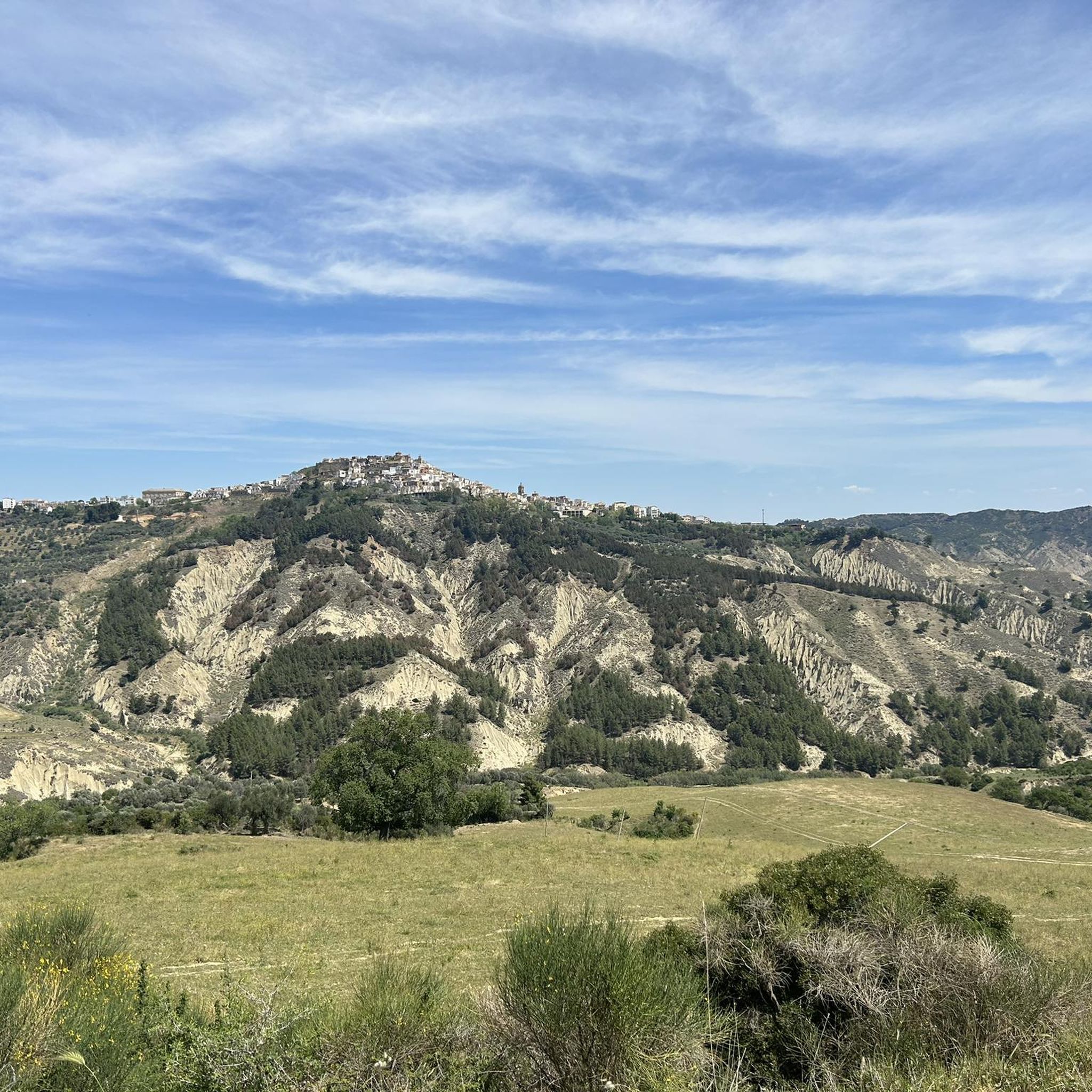
Yet another beautiful village in the province of Matera, there is a lot of clay soil in the surrounding area and the town is certainly worth a visit.
3
1
ポマーリコでのの人気観光スポット

komootモバイルアプリでインスピレーションを得よう


さらに探索
他の地域の最高のハイキングを見てみましょう。
