ゲゾイゼ国立公園のおすすめツーリングルート
4.5
(494)
3,873
ライダー
96
ライド
ゲゾイゼ国立公園周辺で人気のサイクリングルートを走り、この自然公園の魅力を思いっきり満喫したい。そんなあなたのためにkomootおすすめのルートをまとめました。 ページを下にスクロールして、ゲゾイゼ国立公園周辺でのバイクライドルートから気に入ったルートを選び、さっそく冒険に出かけましょう。
最終更新日: 10月 18, 2026
4.3
(22)
162
ライダー
46.6km
03:21
760m
760m
難しい自転車ライド. 標準以上のフィットネスレベルが必要です。 全般的に舗装された状態です。あらゆるスキルレベルに適しています。
4.6
(27)
269
ライダー
47.1km
03:51
1,020m
1,020m
難しい自転車ライド. 標準以上のフィットネスレベルが必要です。 全般的に舗装された状態です。あらゆるスキルレベルに適しています。

5.0
(6)
117
ライダー
27.5km
02:48
890m
890m
難しい自転車ライド. 標準以上のフィットネスレベルが必要です。 ツアーの一部で自転車を押して歩く必要があるかもしれません。
4.0
(5)
56
ライダー
37.8km
02:45
580m
580m
難しい自転車ライド. 標準以上のフィットネスレベルが必要です。 全般的に舗装された状態です。あらゆるスキルレベルに適しています。
4.6
(5)
68
ライダー
29.5km
02:30
790m
790m
難しい自転車ライド. 標準以上のフィットネスレベルが必要です。 全般的に舗装された状態です。あらゆるスキルレベルに適しています。
さらに多くのルートや他のユーザーのおすすめ情報を確認できます。
すでにアカウントをお持ちですか?
おすすめのツアーは他のkomootユーザーが実際に経験した何千ものアクティビティに基づいています。
無料アカウントで今日から始めよう
次の冒険が待っています。
ゲゾイゼ国立公園周辺で人気



ゲゾイゼ国立公園でのの他の冒険


コミュニティからのヒント


The Lauferbauer Bridge is a listed historical monument, a road crossing over the Enns River in the Gesäuse region, connecting the village of Weng im Gesäuse with the municipality of Admont. Only a few Enns bridges built using traditional methods remain. The force of the river takes its toll on the bridge piers and the driven piles. In 2003, the authorities decided to rebuild the dilapidated but historically protected bridge using the old timber construction method, without steel girders or concrete piers. This required 400 cubic meters of durable fir and larch wood. The longitudinal girders, in particular, presented a challenge due to their dimensions: enormous fir trees were painstakingly brought down from the highlands to the valley. This ancient timber construction technique is documented in the archives; such "Enns trees" were already being used for bridge construction 400 years ago. Visiting Austria's largest wooden bridge and enjoying the view of the Gesäuse National Park from the bridge is well worth the trip. However, just 13 years later, in 2017, the bridge had to be rebuilt once again. The reason: instead of robust larch wood, the less suitable fir wood was used. The municipality of Admont was left to bear the costs of the reconstruction. Both the planning office commissioned for the bridge construction and the construction company have since gone bankrupt. The financial damage was estimated at €450,000, but this figure has now been reduced. Fortunately, after the demolition of the Lauferbauer Bridge, it turned out that the underlying girders were still fully functional. Reconstruction work began on May 8th with the installation of the new steel girders. The remaining wooden structure was scheduled to take another four weeks to complete. The renovated Lauferbauer Bridge was reopened to public traffic on June 12, 2017, with a weight restriction of up to twelve tons (Source: https://www.ennstalwiki.at/wiki/index.php/Lauferbauerbr%C3%BCcke
1
0
The single-span, cantilevered bridge with a span of 66 meters was built in 2009 in approximately three months. The construction required, among other things, 42 tons of asphalt, 35 tons of steel structure, four tons of reinforcing steel, 150 cubic meters of frost protection material, 50 cubic meters of concrete, and 140 linear meters of wooden railings with stainless steel handrails, totaling €300,000. The bridge connects the market town center of Admont with the former municipality of Hall, which was incorporated into Admont in 2015. A wayside shrine stands on a spruce tree on the south side of the bridge. (Source: EnnstalWiki, www.ennstalwiki.at)
1
0

Well-suited for cyclists Cycling equipment accessible to the public
0
0

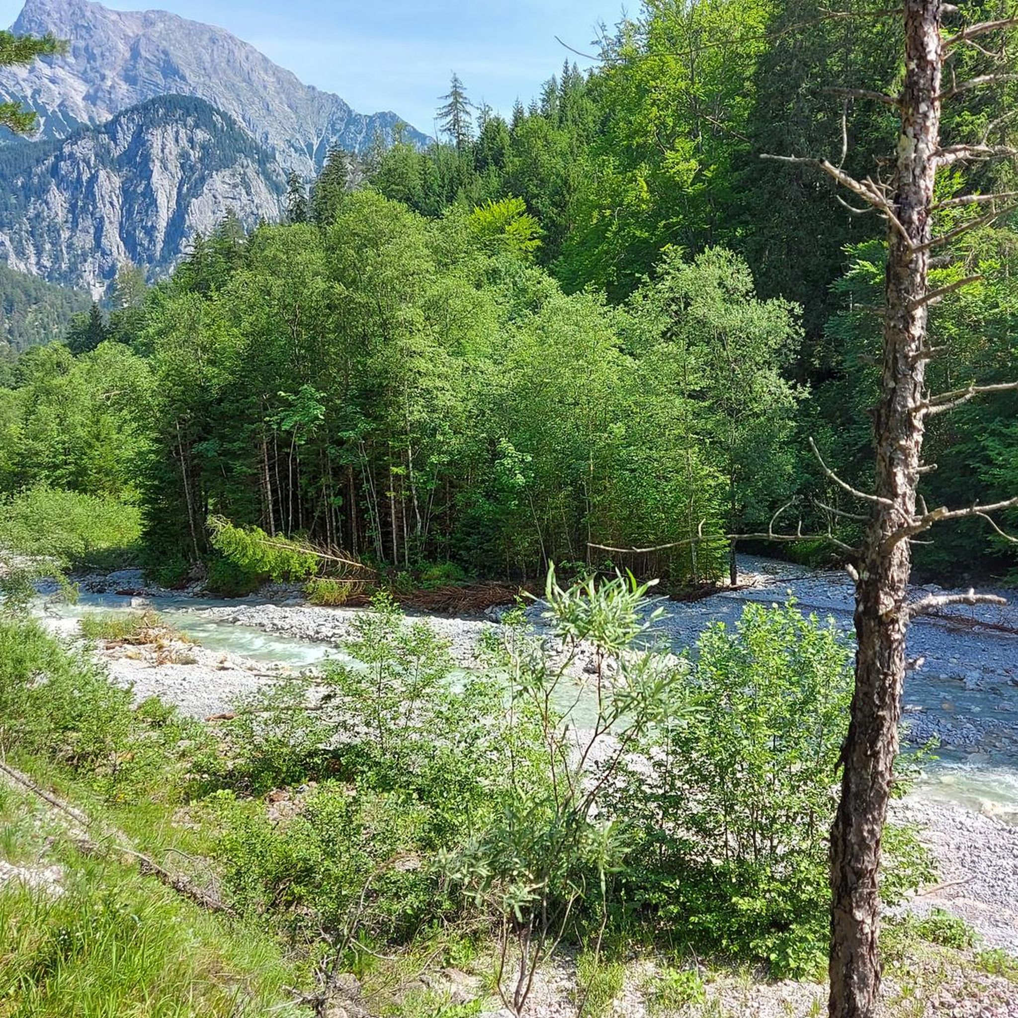
Very good gastronomy, crystal-clear, but cold water, “gravel bays” invite you to rest by the water
0
0

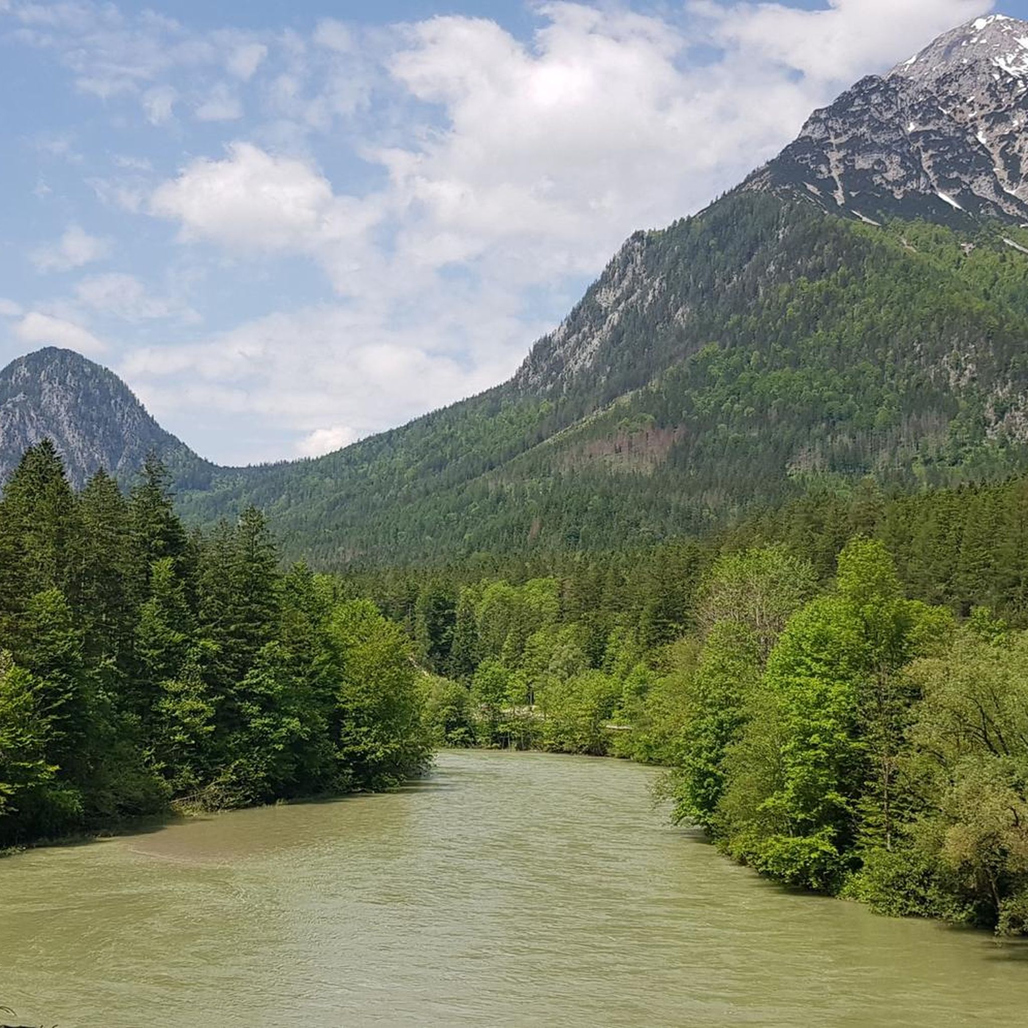
There stand two mountains like two guardians to let the Enns flow into the Gesäuse.
0
0
ゲゾイゼ国立公園でのの人気観光スポット

komootモバイルアプリでインスピレーションを得よう


さらに探索
他の地域の最高のサイクリングルートを見てみましょう。
