ケアンゴーム山脈のおすすめ登山&山歩きルート
4.4
(8)
37
ハイカー
6
ハイキング
登山ルートは、標高1000〜1200メートルに及ぶ広大な高地の高原を特徴とする北極・高山地帯の景観を横断します。これらの高原にはドーム状の山頂があり、ベン・マクドゥイ(標高1309メートル)など、英国で5番目に高い山のうち4つが含まれます。この地域は、急峻な花崗岩の断崖、コイア・アン・スネークダのような氷河圏谷、そして低い谷に残る古代カレドニアの森の痕跡によって特徴づけられています。
ケアンゴーム山脈の最高の登山ルート
- 最も人気のある登山ルートは、グレンモア森林公園からのアン・ロチャン・ウアイン – メアル・ア・ブアチャイル・ループです。このルートは5.6マイル(9.1 km)で、所要時間は3時間11分です。特徴的な緑の湖と周囲の森の景色を楽しめます。
- 地元登山者の間でもう一つのお気に入りは、バーンサイド/コッタムズ・ウェイからのケアンゴーム山頂ループです。これは、適度な難易度の4.6マイル(7.4 km)のルートで、ケアンゴーム山の山頂への直接的な登りを提供します。
- 地元登山者に人気のもう一つのルートは、アヴィモアからのクレイゲラキー・サミット・カーン・ループです。この3.3マイル(5.3 km)のルートは、森を抜けて山頂の展望台へと続いており、所要時間は約1時間50分です。
- ケアンゴーム山脈での登山は、高地の高原、花崗岩の断崖、そして古代カレドニアの森によって特徴づけられます。このネットワークは、適度な登りから挑戦的な複数ピークの遠征まで、さまざまなレベルの能力に対応するオプションを提供します。
- ケアンゴーム山脈のルートは、komootコミュニティから高く評価されており、9件以上のレビューで平均4.5つ星を獲得しています。40人以上の登山者がkomootを利用して、ケアンゴーム山脈の多様な地形を探検しました。
最終更新日: 9月 1, 2026
5.0
(3)
15
ハイカー
9.04km
03:11
470m
460m
中程度の登山ルート. ある程度のフィットネスレベルが必要です。 進みやすいルートです。あらゆるスキルレベルに適しています。
8
ハイカー
6.77km
03:27
600m
600m
中程度の登山ルート. ある程度のフィットネスレベルが必要です。 全般的に進みやすいルートです。安定して歩行できる技術が必要です。

無料新規登録
2.0
(1)
5
ハイカー
5.31km
01:50
270m
270m
初級者向け登山ルート. あらゆるフィットネスレベルに適しています。 進みやすいルートです。あらゆるスキルレベルに適しています。
5.0
(2)
2
ハイカー
5.03km
01:46
260m
260m
初級者向け登山ルート. あらゆるフィットネスレベルに適しています。 進みやすいルートです。あらゆるスキルレベルに適しています。
5.0
(1)
4
ハイカー
22.5km
07:56
880m
880m
難しい登山ルート. 標準以上のフィットネスレベルが必要です。 全般的に進みやすいルートです。安定して歩行できる技術が必要です。
おすすめのツアーは他のkomootユーザーが実際に経験した何千ものアクティビティに基づいています。
無料アカウントで今日から始めよう
次の冒険が待っています。
ログインまたは登録
ケアンゴーム山脈周辺で人気
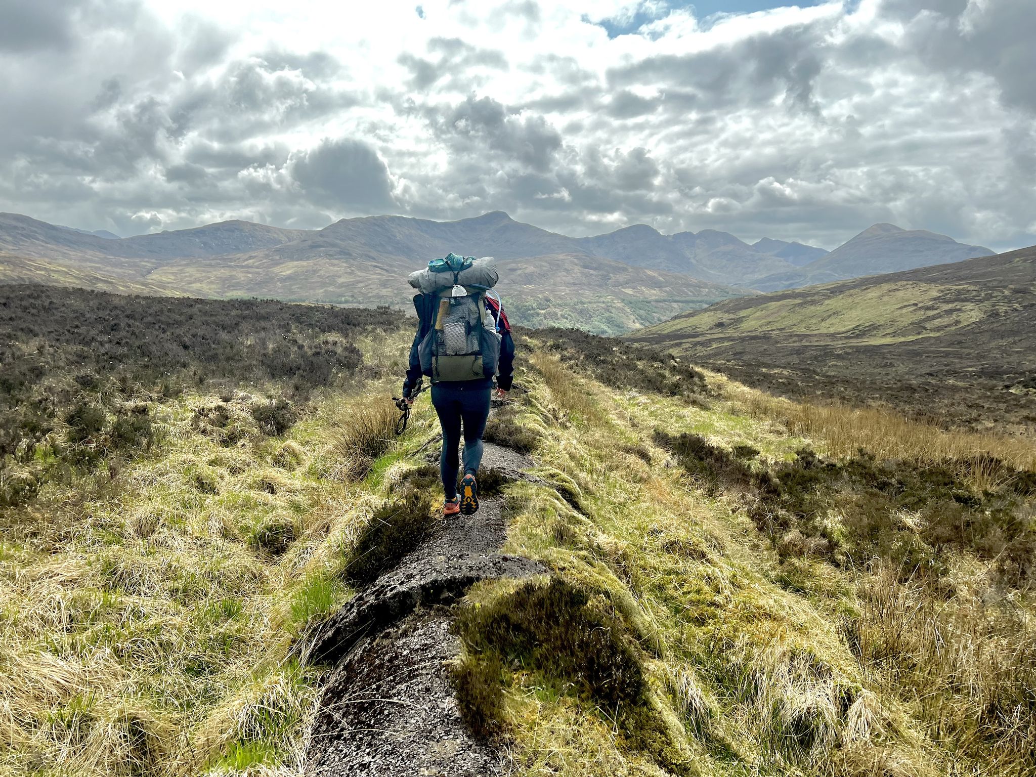
コースト・トゥ・コースト:オバンからモントローズ - TGO Challenge 2023
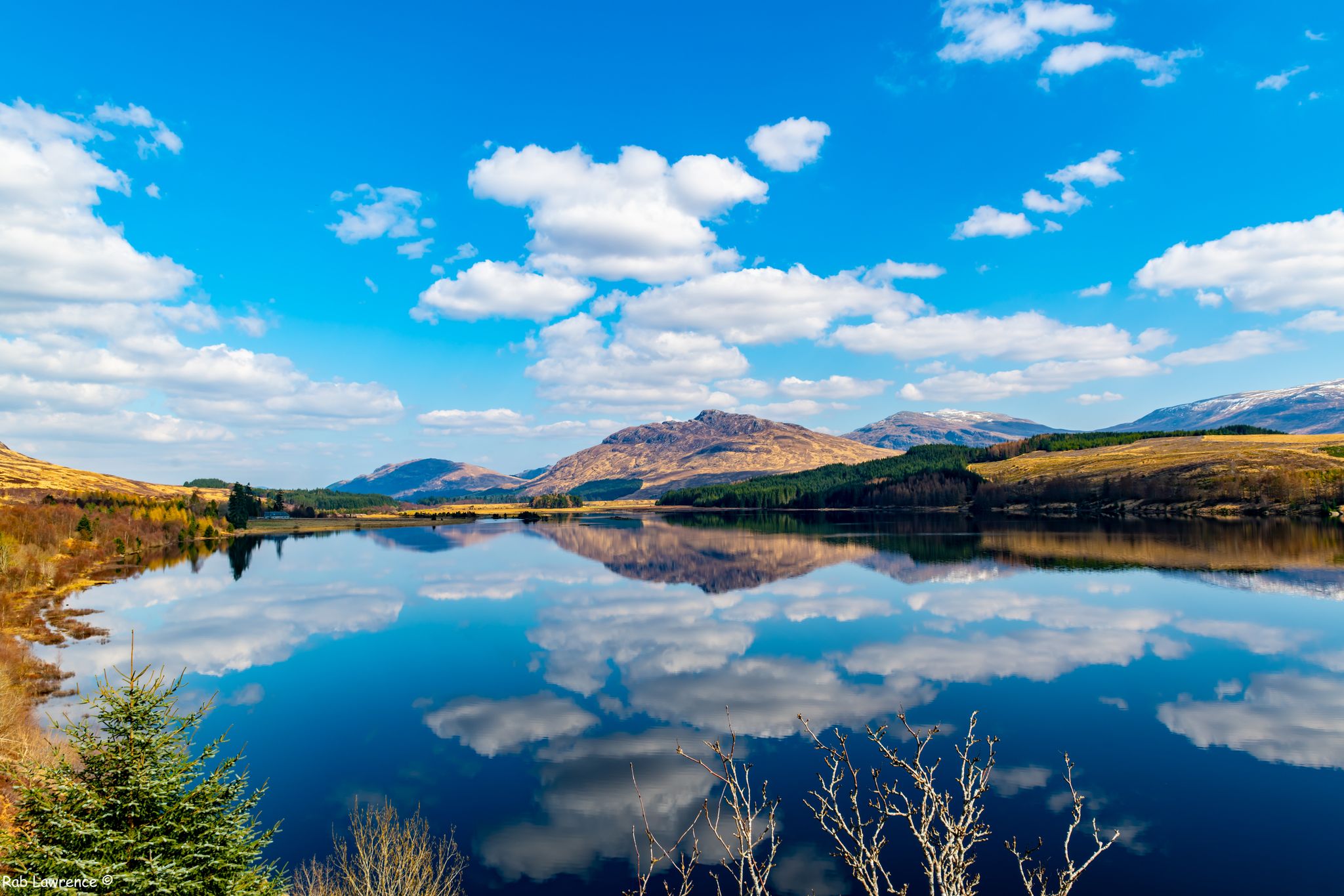
スクランドの门がないませんにちはルックリンスルーム - East Highland Way
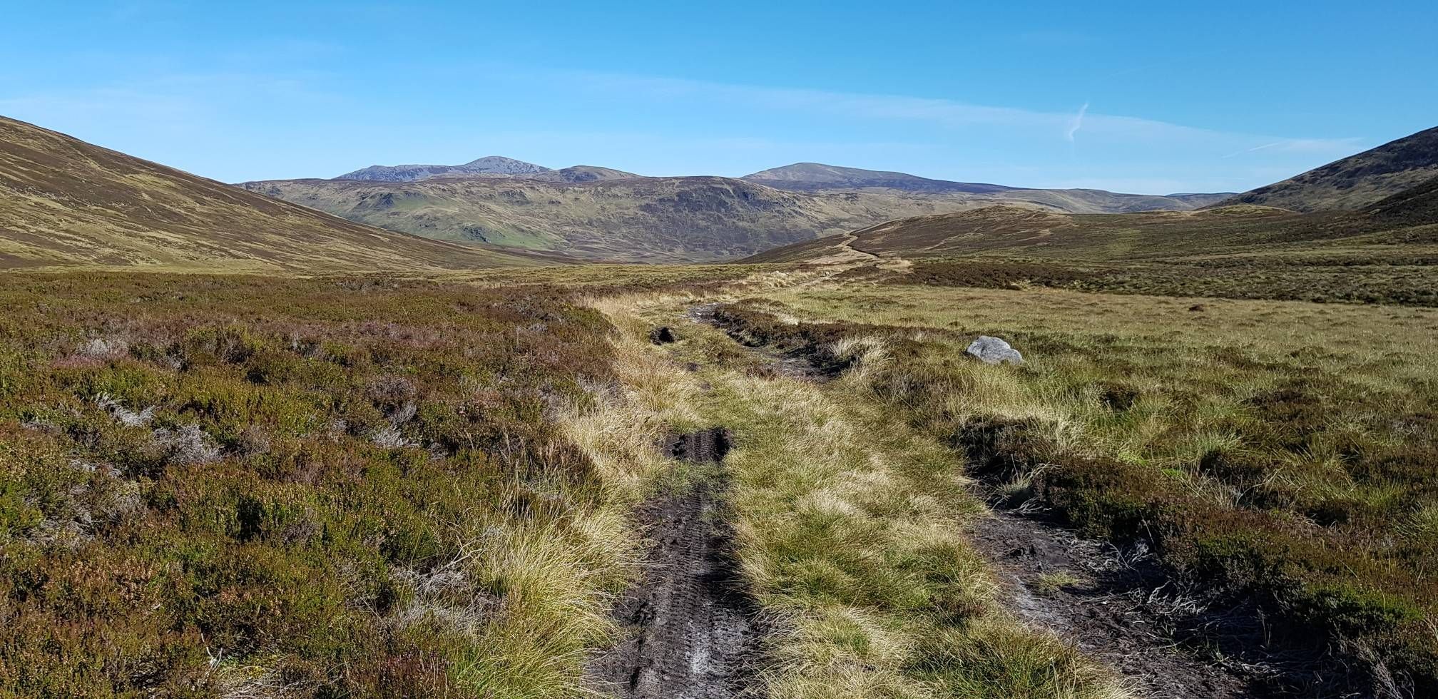
スコットランド・ハイランズのBurns、Lochs & Bothies — ケアンゴームズ・ループ
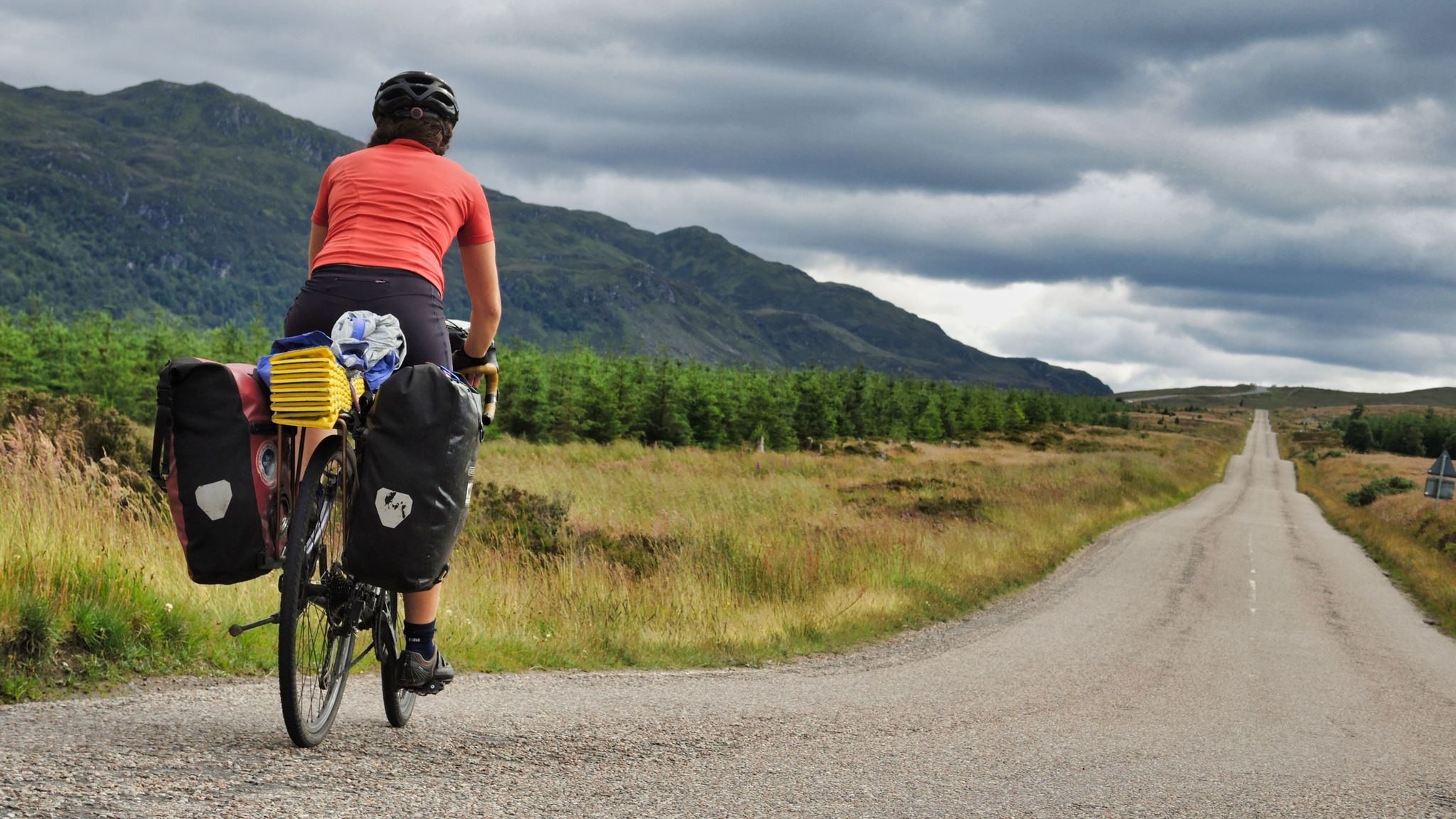
ランズエンドからジョン・オグローツへのサイクリング - 忘れられないライド
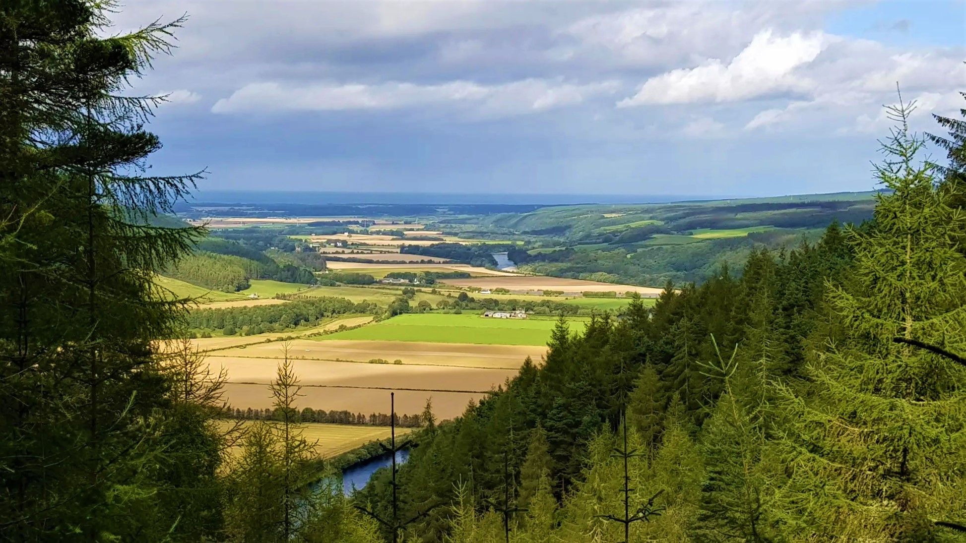
Mountains, Pines, 荒野のヒース地帯とウイスキーの国 — Speyside Way
Teva Playground Explorers: Adventures Mapped by Us. Made for You.
Glamping Adventures on Foot
Adventures with a Purpose – our A-TEAMers’ best routes

Walk Britain – 90 CAR-FREE adventures in England, Wales and Scotland
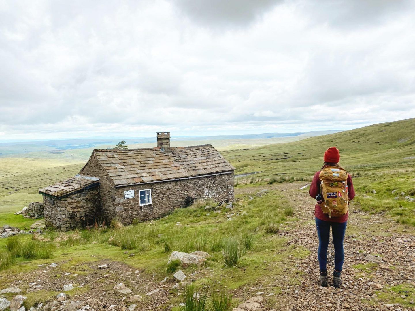
ブリテインのボーシーズ:ユニークな山のシェルターへのハイキングとサイクリングアドベンチャー
ケアンゴーム山脈でのの他の冒険


コミュニティからのヒント

Insignificant bump on the plateau, but fine views across to Cairn Toul
0
0

If this is easy, how hard is it? Very steep at 1.5 km, either at the beginning or the end, depending on your direction. Other than that, it's definitely worth it.
0
0

The tour is a disaster: about 80 percent of the route runs through a ski area that has destroyed and violated nature.
0
0
Easy is different. Be sure to bring hiking poles. Not recommended during or after rain, as it's slippery.
0
0

The Glenmore Forest Park Visitor Center and the adjacent Allt Mor Café were a wonderful stop after our overnight stay a little further on at the Ryvoan Bothy. After a mediocre breakfast that we brought with us to the bothy, we enjoyed a delicious breakfast and good coffee.
3
0
Picturesque little lake at the foot of a rock face. A nice place to stop and enjoy the view or even take a dip in the refreshing water.
4
1

Beautiful views in all directions!
0
0
Really steep! Watch your step carefully. Hiking poles are helpful.
0
0

komootモバイルアプリでインスピレーションを得よう


さらに探索
他の地域の最高の登山ハイキング & ルートを見てみましょう。
