エストレーラ山脈のおすすめツーリングルート
4.5
(45)
880
ライダー
17
ライド
エストレーラ山脈でサイクリングを楽しめば、グアルダのこのエリアをより深く知ることができます。あなたにぴったりのエストレーラ山脈でのバイクライドが見つかるように、komootがサイクリングルートのコレクション全体を評価して選び抜いたルートをご紹介します。以下のルートをクリックして標高データや舗装状態の分析などの細かな情報を把握し、さらにkomootコミュニティのメンバーがアップロードした役立つ情報や写真も閲覧しましょう。
最終更新日: 10月 10, 2026
7
ライダー
31.6km
03:03
940m
930m
難しい自転車ライド. 標準以上のフィットネスレベルが必要です。 全般的に舗装された状態です。あらゆるスキルレベルに適しています。
84
ライダー
33.6km
02:34
760m
760m
難しい自転車ライド. 標準以上のフィットネスレベルが必要です。 全般的に舗装された状態です。あらゆるスキルレベルに適しています。

5.0
(1)
30
ライダー
75.0km
06:01
2,240m
2,240m
難しい自転車ライド. 標準以上のフィットネスレベルが必要です。 全般的に舗装された状態です。あらゆるスキルレベルに適しています。
26
ライダー
76.8km
05:49
1,820m
1,820m
難しい自転車ライド. 標準以上のフィットネスレベルが必要です。 全般的に舗装された状態です。あらゆるスキルレベルに適しています。
21
ライダー
58.8km
04:20
1,400m
1,390m
難しい自転車ライド. 標準以上のフィットネスレベルが必要です。 全般的に舗装された状態です。あらゆるスキルレベルに適しています。
5.0
(1)
18
ライダー
79.7km
06:18
2,240m
2,240m
難しい自転車ライド. 標準以上のフィットネスレベルが必要です。 全般的に舗装された状態です。あらゆるスキルレベルに適しています。
4.8
(4)
17
ライダー
31.2km
02:11
580m
580m
難しい自転車ライド. 標準以上のフィットネスレベルが必要です。 全般的に舗装された状態です。あらゆるスキルレベルに適しています。
10
ライダー
110km
08:01
2,430m
2,430m
難しい自転車ライド. 標準以上のフィットネスレベルが必要です。 全般的に舗装された状態です。あらゆるスキルレベルに適しています。
15
ライダー
4.17km
00:21
140m
140m
初級者向けバイクライド. あらゆるフィットネスレベルに適しています。 全般的に舗装された状態です。あらゆるスキルレベルに適しています。
3.0
(2)
10
ライダー
15.9km
01:14
410m
410m
中程度の自転車ライド. ある程度のフィットネスレベルが必要です。 全般的に舗装された状態です。あらゆるスキルレベルに適しています。
さらに多くのルートや他のユーザーのおすすめ情報を確認できます。
すでにアカウントをお持ちですか?
おすすめのツアーは他のkomootユーザーが実際に経験した何千ものアクティビティに基づいています。
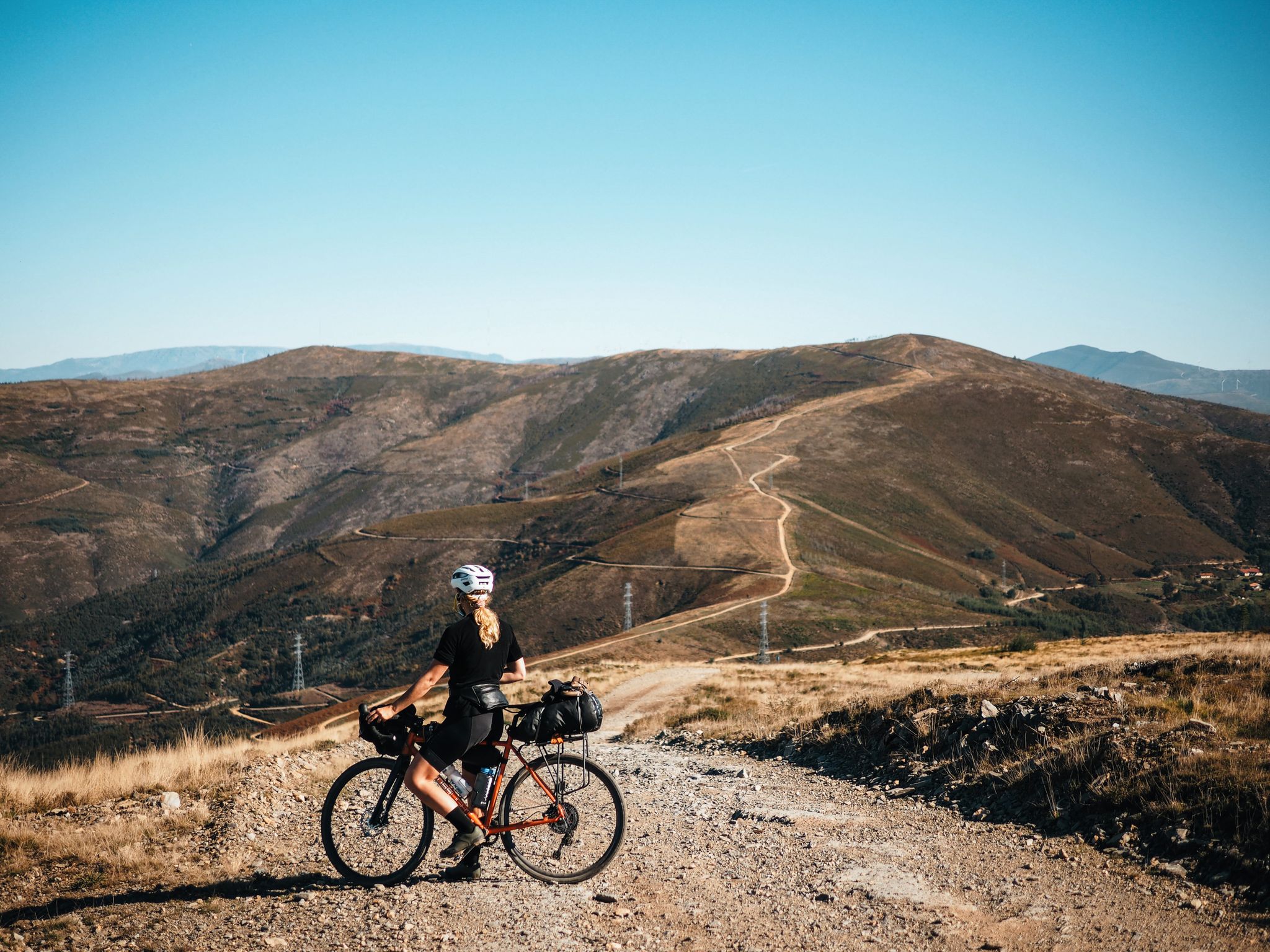
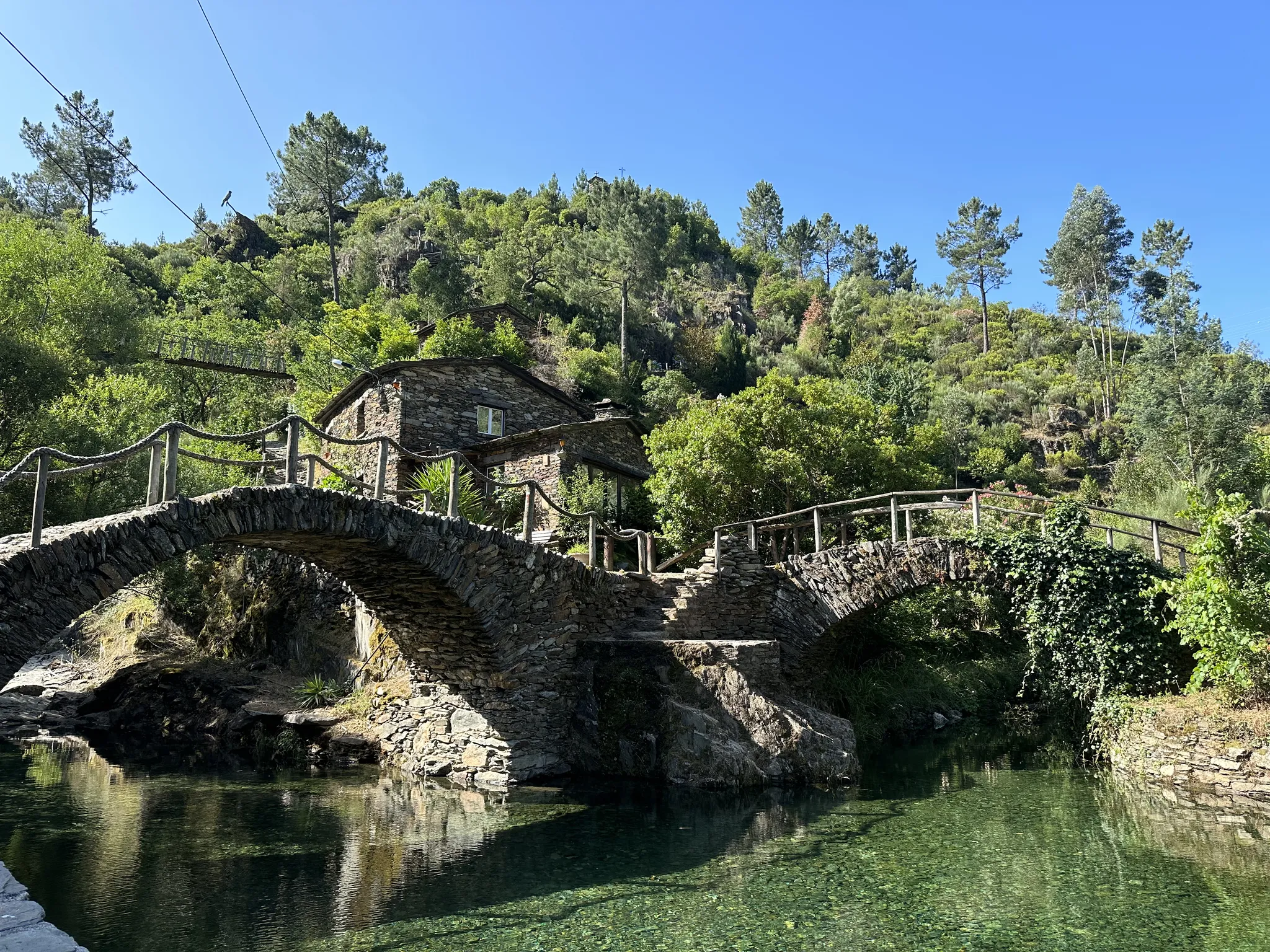
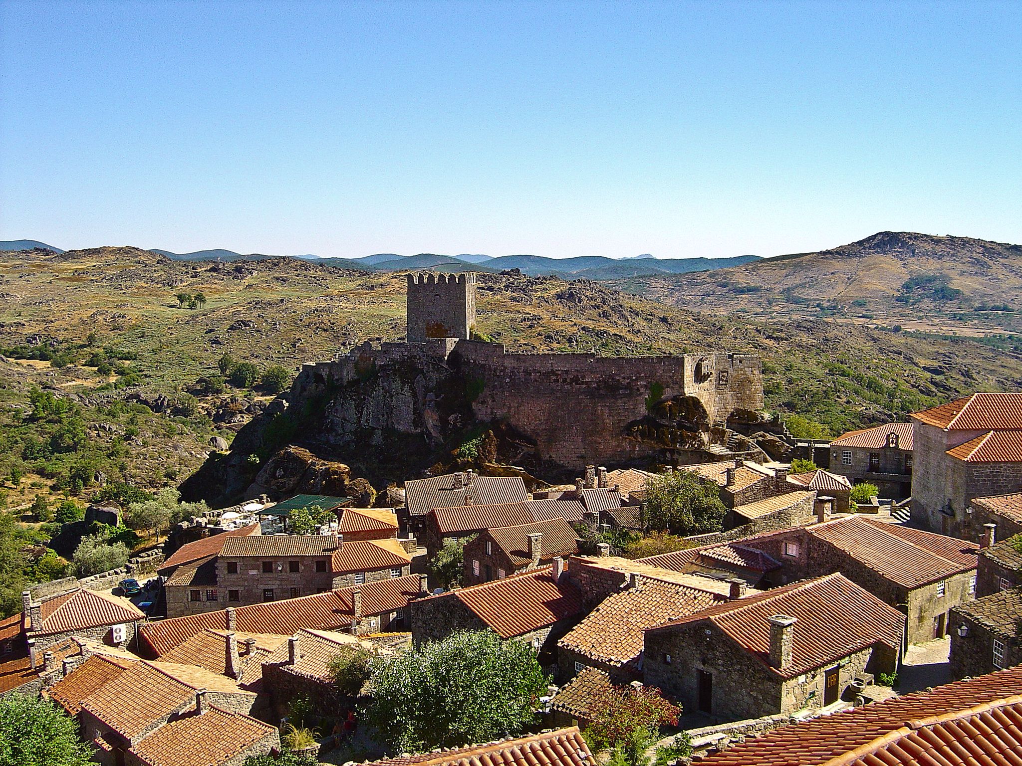
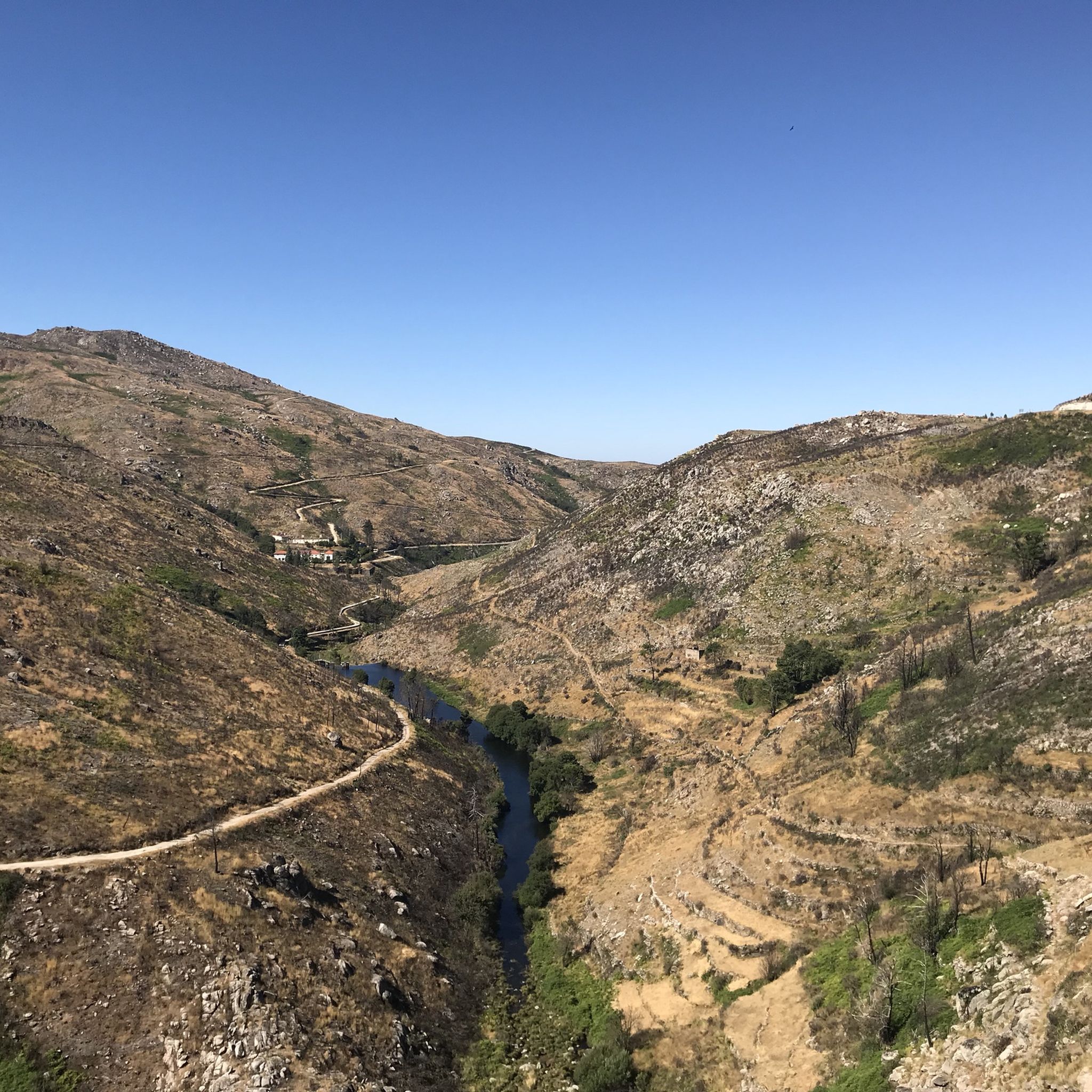



コミュニティからのヒント

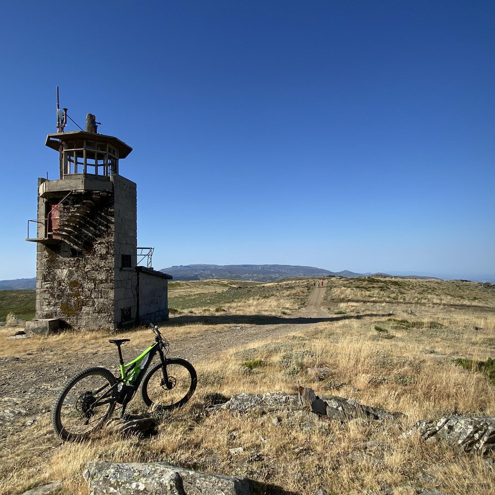
公園の中心にあり、美しい舗装道路からアクセスしやすい場所にトーレがあります。ここはセラ・ダ・エストレラ山脈の最高地点であり、大陸ポルトガルではこれより高い場所はありません。実際、最高地点は1,993メートルにあります。山の頂上にある7メートルの小さな塔が、2,000メートルを完成させています。
6
0

サン・ロマオンからの素晴らしく、非常に孤立した登りです。私が通った時、下のエリアでの工事のため、道路は自動車の通行が禁止されており、車が全くなく、自然との完全な一体感を味わえる登りとなりました。
0
0

Offering breathtaking views of the southeastern slopes of the Serra da Estrela, Cova da Beira, and the charming city of Covilhã, the Varanda dos Carqueijais, which rises 1,130 meters above sea level, is a stunning suspended viewpoint, magnificently perched in the heart of the surrounding natural landscape. The suspended walkway was the best way to provide an excellent experience for visitors, creating a kind of amphitheater, a balcony overlooking the inspiring natural landscape. This viewpoint is an integral part of the viewpoint route, developed by the Municipality of Covilhã, with the aim of promoting the region's natural heritage.
0
0


A historic village of undeniable beauty. Thank you for sharing the photos.👍🥾🚲
0
0

Sabugueiro, the village vying for the title of highest in Portugal, is also one of the most authentic ambassadors of mountain life. Among granite houses and comforting flavors (cheese, sausages, roast kid, and honey), you can find the warmth of blankets and burel coats and the company of the faithful Serra da Estrela mountain dogs. Surrounding waterfalls, streams, and lakes remind you that here, nature is as generous as the table.
3
0
Linhares da Beira is steeped in centuries of history. Founded, apparently, in the 6th century BC by the Turduli, it saw the passage of the Lusitanians, Romans, and Visigoths, who made it the seat of their diocese. It was the scene of Moorish legends, recovered by the kings of León and later by Afonso Henriques, who granted it a charter in 1169 and integrated it into the region's defensive line. Over time, it welcomed Jews, resisted invasions, and lost its municipality in 1842, but never its soul. Today, it is proud to be one of the 12 Historic Villages of Portugal, where every stone tells a piece of the past.
3
0

The Serra da Estrela Natural Park is something truly special. This 1,000-square-kilometer park, spread across six municipalities, was the first and currently the largest protected natural park in Portugal. It is home to the highest point on the Portuguese mainland, the country's only ski slope, the source of two important rivers, and a fascinating, alpine-like landscape formed by glaciers.
5
1
エストレーラ山脈でのの人気観光スポット

komootモバイルアプリでインスピレーションを得よう


さらに探索
他の地域の最高のサイクリングルートを見てみましょう。
