Cabeçaのおすすめツーリングルート
5.0
(3)
70
ライダー
1
ライド
Cabeçaでおすすめのサイクリングルートをお探しですか?行きたいルートを簡単に決められるように、このページではCabeça周辺の人気バイクライドをご紹介します。 ぜひ、お気に入りのルートを見つけてください。
最終更新日: 10月 11, 2026
5.0
(2)
34
ライダー
56.5km
04:30
1,670m
1,680m
難しい自転車ライド. 標準以上のフィットネスレベルが必要です。 全般的に舗装された状態です。あらゆるスキルレベルに適しています。
17
ライダー
65.1km
05:06
1,830m
1,840m
難しい自転車ライド. 標準以上のフィットネスレベルが必要です。 全般的に舗装された状態です。あらゆるスキルレベルに適しています。

5.0
(1)
10
ライダー
44.6km
03:21
1,070m
1,070m
難しい自転車ライド. 標準以上のフィットネスレベルが必要です。 全般的に舗装された状態です。あらゆるスキルレベルに適しています。
1
ライダー
17.8km
01:42
400m
400m
中程度の自転車ライド. ある程度のフィットネスレベルが必要です。 全般的に舗装された状態です。あらゆるスキルレベルに適しています。
8
ライダー
52.4km
04:28
820m
820m
難しい自転車ライド. 標準以上のフィットネスレベルが必要です。 ツアーの一部で自転車を押して歩く必要があるかもしれません。
おすすめのツアーは他のkomootユーザーが実際に経験した何千ものアクティビティに基づいています。
無料アカウントで今日から始めよう
次の冒険が待っています。
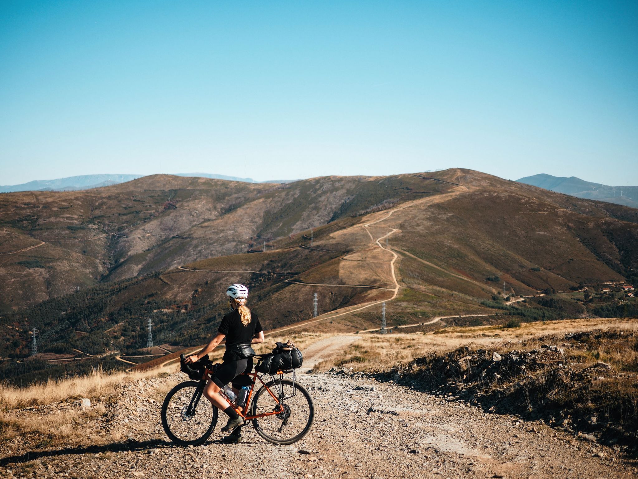
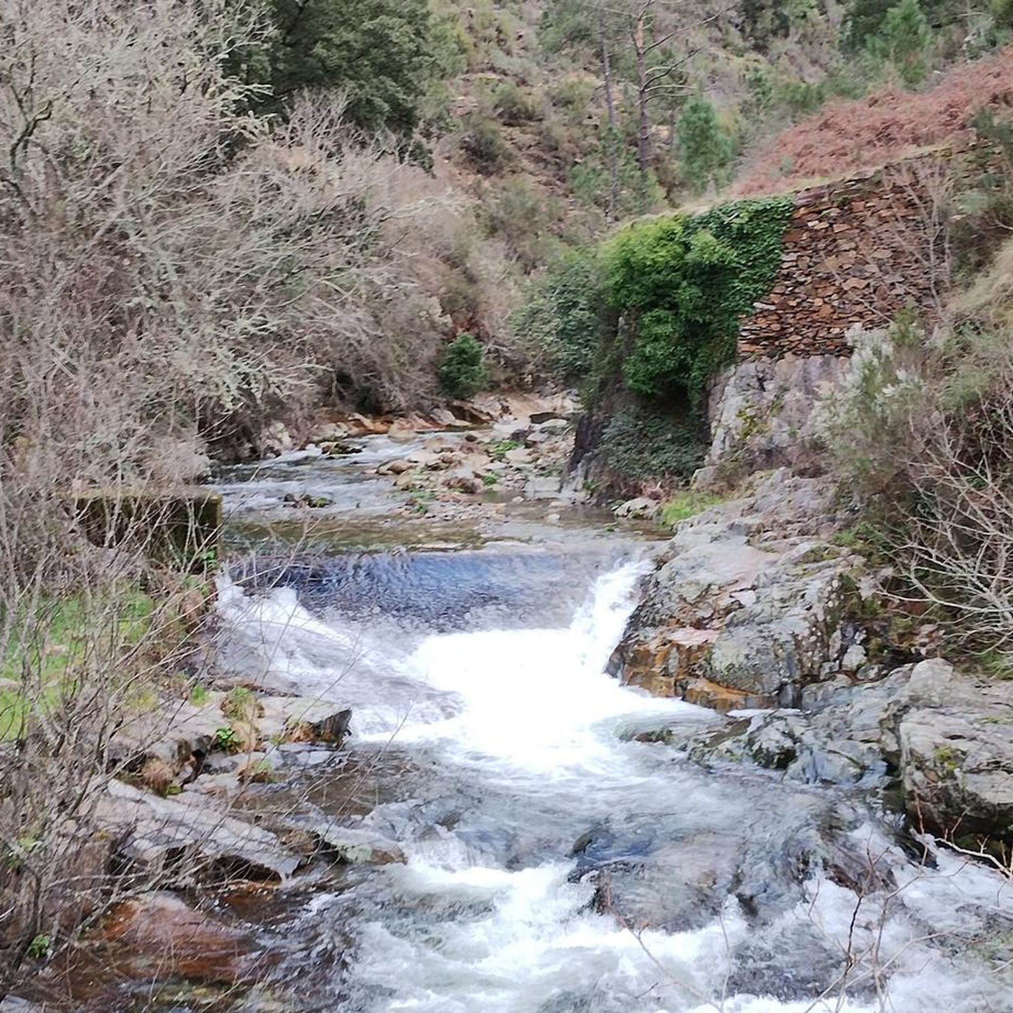
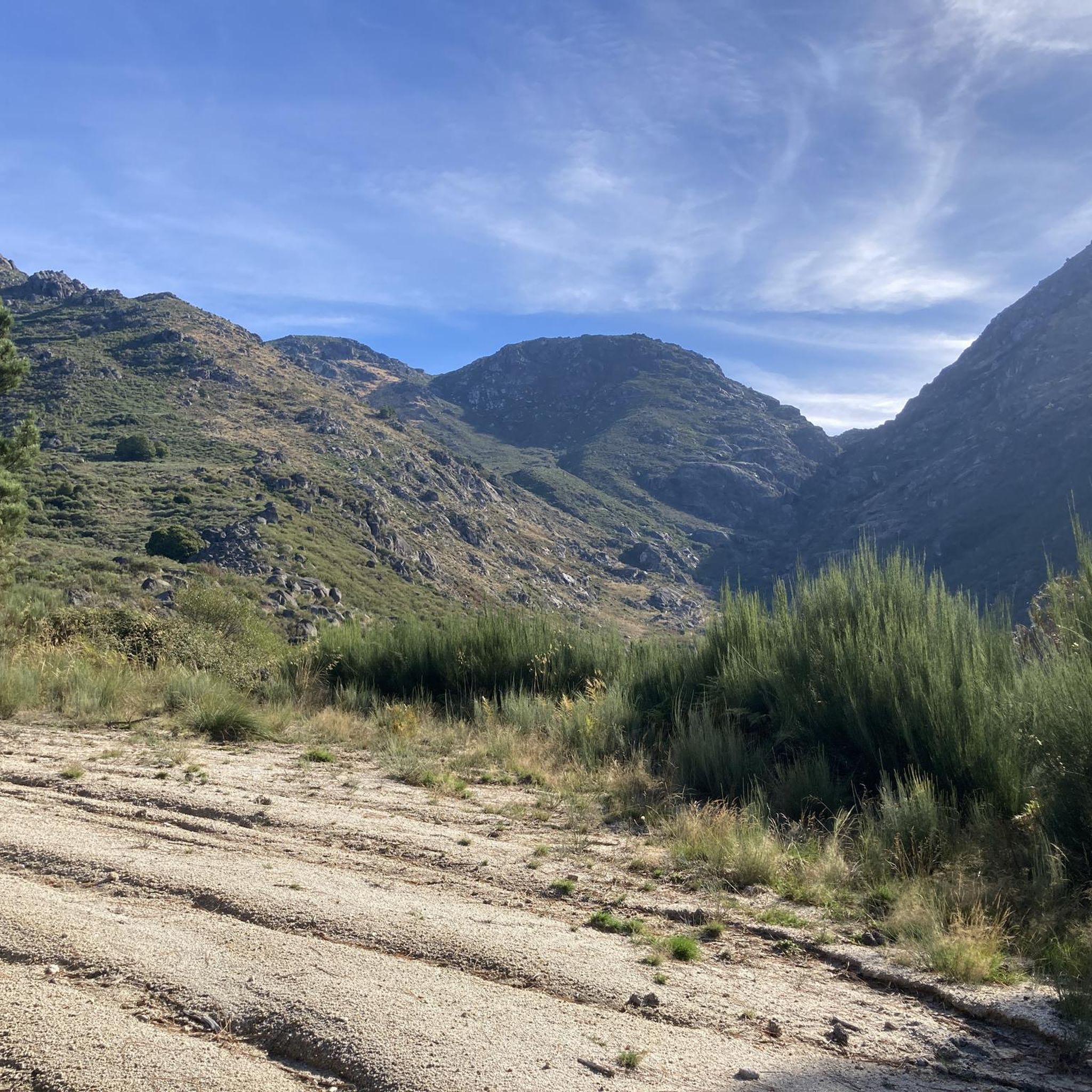
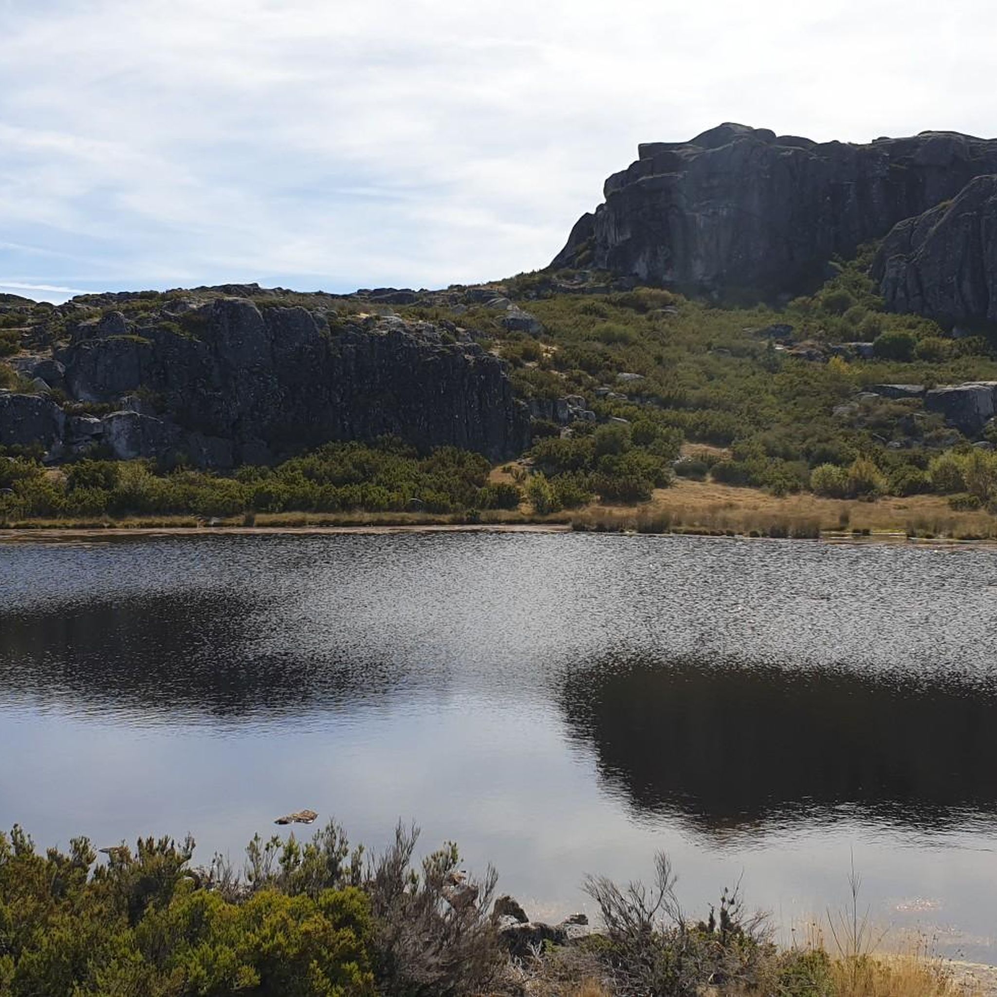
Cabeçaの他の冒険

コミュニティからのヒント

公園の中心にあり、美しい舗装道路からアクセスしやすい場所にトーレがあります。ここはセラ・ダ・エストレラ山脈の最高地点であり、大陸ポルトガルではこれより高い場所はありません。実際、最高地点は1,993メートルにあります。山の頂上にある7メートルの小さな塔が、2,000メートルを完成させています。
6
0

サン・ロマオンからの素晴らしく、非常に孤立した登りです。私が通った時、下のエリアでの工事のため、道路は自動車の通行が禁止されており、車が全くなく、自然との完全な一体感を味わえる登りとなりました。
0
0


Covão dos Conchos is an artificial lagoon located in the Serra da Estrela Natural Park, Portugal, near the mountain village of Sabugueiro. Covão dos Conchos became famous for its bell-mouth spillway[1]. The spillway was built in 1955 to allow water to be transferred from the Ribeira das Naves River to Lagoa Comprida. It is part of the Serra da Estrela Hydroelectric System. This science fiction-style spillway became famous when photographs of the hole went viral on social media in 2016. Over the past 60 years, the growth of vegetation at the funnel's mouth has created extraordinary biodiversity and increased its ethereal allure. It is 4.6 meters high and 48 meters in circumference. The tunnel that collects the water is 1,519 meters long.
2
0
Covão dos Conchos is an artificial lagoon located in the Serra da Estrela Natural Park, Portugal, near the mountain village of Sabugueiro. Covão dos Conchos became famous for its bell-mouth spillway[1]. The spillway was built in 1955 to allow water to be transferred from the Ribeira das Naves River to Lagoa Comprida. It is part of the Serra da Estrela Hydroelectric System. This science fiction-style spillway became famous when photographs of the hole went viral on social media in 2016. Over the past 60 years, the growth of vegetation at the funnel's mouth has created extraordinary biodiversity and increased its ethereal allure. It is 4.6 meters high and 48 meters in circumference. The tunnel that collects the water is 1,519 meters long.
1
0

Sabugueiro, the village vying for the title of highest in Portugal, is also one of the most authentic ambassadors of mountain life. Among granite houses and comforting flavors (cheese, sausages, roast kid, and honey), you can find the warmth of blankets and burel coats and the company of the faithful Serra da Estrela mountain dogs. Surrounding waterfalls, streams, and lakes remind you that here, nature is as generous as the table.
3
0

A beautiful nature trail, about 9 km round trip to Covão dos Conchos. Unfortunately, on August 15th, the water couldn't reach the hole and thus reveal the waterfalls. It's a reservoir, part of the Serra da Estrela hydroelectric system. A funnel-shaped drainage structure that allows water to flow from this body of water to Lagoa Comprida. The spillway was built in 1955 to divert water from Ribeira das Naves to Lagoa Comprida. Over the past 60 years, moss and foliage have grown over the mouth of the funnel, creating a captivating spectacle. It is 4.6 meters high and 4.8 meters in circumference. The tunnel that collects the water is 1,519 meters long. It's a stunning place to visit, not only for the combination of human intervention and nature, but also for the surrounding landscape.
2
1
This reservoir, part of the Serra da Estrela hydroelectric system, is a popular tourist destination. Part of this attraction comes from a funnel-shaped drainage structure that allows water to flow from this body of water to Lagoa Comprida. The spillway was built in 1955 to divert water from Ribeira das Naves to Lagoa Comprida. The conical spillway was little known until photos of the hole went viral in 2016. Over the past 60 years, moss and foliage have grown over the mouth of the funnel, creating a captivating spectacle. It is 4.6 meters high and 4.8 meters in circumference. The tunnel that collects the water is 1,519 meters long. It is a stunning place to visit, not only for the combination of human intervention on nature, but also for the surrounding landscape. The trail from Lagoa Comprida leads here is truly beautiful in any season. Bring windbreaker and water.
2
0
Cabeçaの人気観光スポット

komootモバイルアプリでインスピレーションを得よう


さらに探索
他の地域の最高のサイクリングルートを見てみましょう。
