オップランのおすすめウォーキング&ハイキングルート
4.5
(8102)
43,121
ハイカー
1,421
ハイキング
オップランでのハイキングに出かけて、ノルウェーのこのエリアを探索してみませんか?このガイドでご紹介するのは、komootがオップランでのハイキング・ウォーキングルートのコレクション全体を評価して選び抜いた、このエリアの人気ハイキングルートです。あなたに合った でのハイキングを見つけるには、他のユーザーがアップロードした役立つ情報や写真を閲覧し、各ルートに関するみんなの意見やコメントを参考にしましょう。
最終更新日: 9月 7, 2026
4.9
(379)
3,364
ハイカー
14.5km
07:16
1,110m
1,110m
難しいハイキング. 標準以上のフィットネスレベルが必要です。 安定して歩行できる技術、丈夫な靴、高標高地での登山経験が必要です。
4.7
(186)
1,620
ハイカー
3.62km
01:06
130m
130m
Hike the easy 2.2-mile Viewpoint Snøhetta Trail to an architectural pavilion with panoramic views of Snøhetta mountain and Dovrefjell.

4.9
(168)
1,039
ハイカー
12.5km
04:59
470m
470m
難しいハイキング. ある程度のフィットネスレベルが必要です。 安定して歩行できる技術、丈夫な靴、高標高地での登山経験が必要です。
4.9
(107)
1,468
ハイカー
28.0km
14:05
2,190m
2,190m
Embark on a difficult 17.4-mile hike in Jotunheimen National Park, gaining 7183 feet of elevation through a paradise of lakes and mountain v
4.8
(112)
946
ハイカー
12.7km
07:13
1,380m
1,380m
難しいハイキング. 標準以上のフィットネスレベルが必要です。 全般的に進みやすいルートです。安定して歩行できる技術が必要です。
4.4
(144)
626
ハイカー
7.08km
01:47
10m
10m
初級者向けハイキング. あらゆるフィットネスレベルに適しています。 進みやすいルートです。あらゆるスキルレベルに適しています。
4.8
(41)
272
ハイカー
9.82km
05:00
870m
870m
This difficult 6.1-mile loop hike to Lomseggen offers panoramic views of Norway's national parks and requires good fitness.
4.7
(20)
226
ハイカー
11.4km
04:22
780m
780m
中程度のハイキング. ある程度のフィットネスレベルが必要です。 進みやすいルートです。あらゆるスキルレベルに適しています。
4.9
(14)
193
ハイカー
14.8km
05:38
490m
560m
Hike the difficult 9.2-mile Svartdalen Trail in Jotunheimen National Park, connecting Torfinnsbu to Gjendebu with stunning valley views.
4.8
(25)
103
ハイカー
13.0km
03:56
430m
430m
中程度のハイキング. ある程度のフィットネスレベルが必要です。 進みやすいルートです。あらゆるスキルレベルに適しています。
さらに多くのルートや他のユーザーのおすすめ情報を確認できます。
すでにアカウントをお持ちですか?
おすすめのツアーは他のkomootユーザーが実際に経験した何千ものアクティビティに基づいています。
無料アカウントで今日から始めよう
次の冒険が待っています。
オップランでのの他の冒険


コミュニティからのヒント


The view of the lakes, from the ridge, is incredible so be sure to allow plenty of time for breaks. It's a demanding hike so you definitely need to be sure-footed. If you hike the entire ridge, hopefully you'll find a place to stay overnight in Mermurubu.
0
0

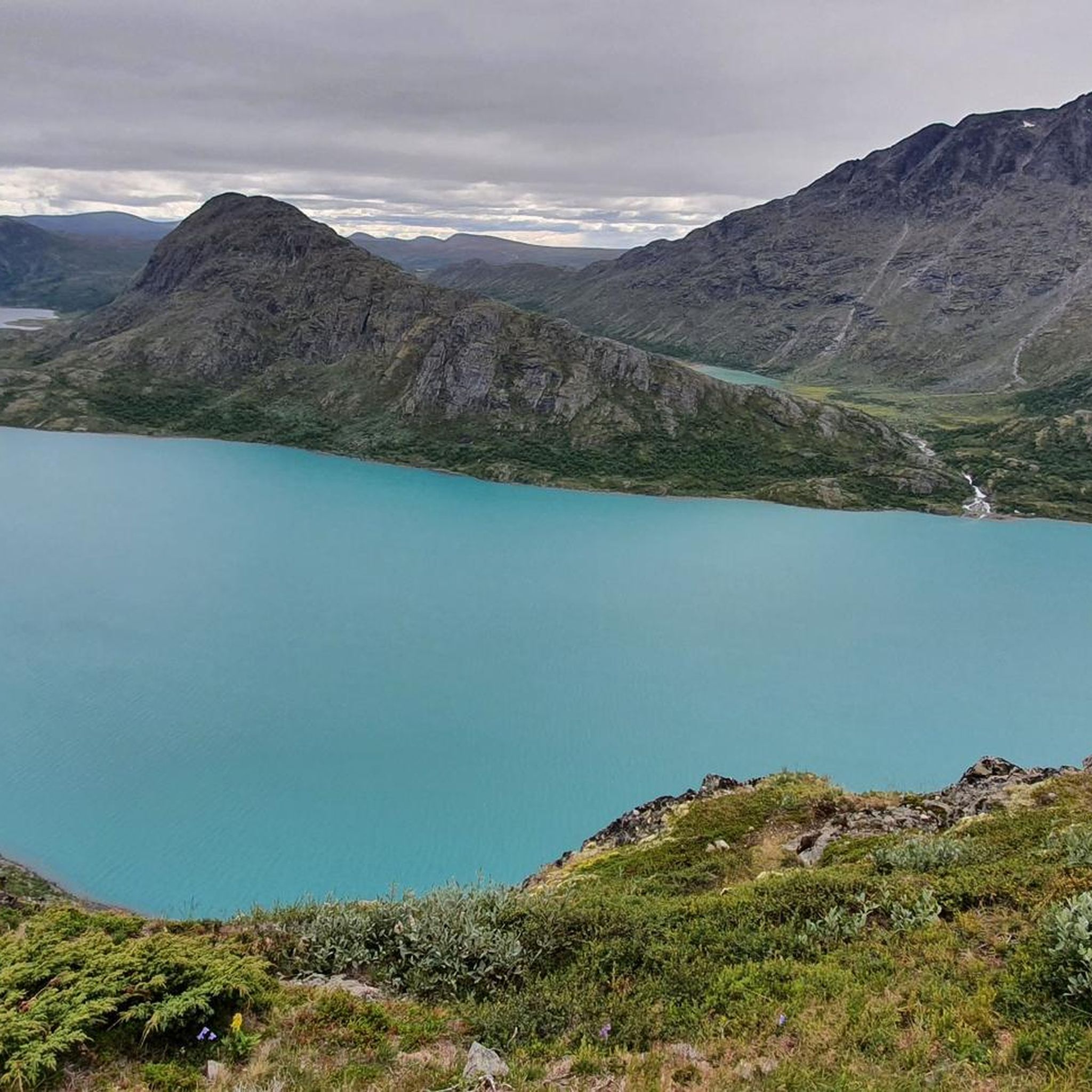
From the path you can enjoy the view on the lake in the Jotunheimen National Park: a unique view.
0
0
No real difficulty until the summit. Be careful in case of snow.
0
0

With 80 beds, Snøheim is a large DNT facility, providing a base for those exploring Snøhetta and Dovrefjell–Sunndalsfjella’s other high mountains, with ten peaks over 2,000 metres (6,500 ft) within reasonable hiking distance. A shuttle bus runs from Snøheim to Hjerkinn several times a day during the peak season.
1
0
Of Snøhetta's major summits, Stortoppen is the tallest, towering to 2,286 metres (7,500 ft), making it the highest mountain in Norway outside Jotunheimen. The views from the summit are sensational, with many of the nation’s most celebrated mountain ranges clearly visible on a good day. It's most often ascended from Snøheim or Reinheim and the hike along its east ridge is rocky, tough but not overly technical. It can also be ascended from Åmotdalshytta via its broad, north-west shoulder.
0
0

Unfortunately, I have a fear of heights, and this section was quite challenging for me in places. But it was doable. You definitely need sure footing and must concentrate solely on the rock. Dogs sometimes have to be carried. We saw someone turn back on the hike with a large dog. Hopefully, you'll catch the last ferry or find a place to stay in Mermurubu. The views, even up to the ridge, are simply wonderful.
0
0

Snøheim is only accessible by shuttle bus. Online booking requires seat reservation. Bookable at: https://reiseplanlegger.nor-way.no/ 120 NOK one way for adults Times must be selected in advance; you can rebook one hour before departure for 39 NOK to take an earlier or later bus. Parking is free here: https://maps.app.goo.gl/Ai3fZCdxwvJgWTWG6?g_st=ic Or here: https://maps.app.goo.gl/xbmadEdvyAdsRYgB8?g_st=ic The shuttle bus departs from here: https://maps.app.goo.gl/ebvYSUkbru8kmmvr5?g_st=ic
0
0

komootモバイルアプリでインスピレーションを得よう


探していたものは見つかりませんでしたか?
オップランの下にある他のハイキングをチェックして、目的地で完璧なルートを見つけましょう。
さらに探索
他の地域の最高のハイキングを見てみましょう。
