オップランのおすすめツーリングルート
4.5
(445)
4,468
ライダー
391
ライド
オップランでサイクリングを楽しめば、ノルウェーのこのエリアをより深く知ることができます。あなたにぴったりのオップランでのバイクライドが見つかるように、komootがサイクリングルートのコレクション全体を評価して選び抜いたルートをご紹介します。以下のルートをクリックして標高データや舗装状態の分析などの細かな情報を把握し、さらにkomootコミュニティのメンバーがアップロードした役立つ情報や写真も閲覧しましょう。
最終更新日: 10月 12, 2026
5.0
(1)
41
ライダー
20.7km
01:41
300m
300m
中程度の自転車ライド. ある程度のフィットネスレベルが必要です。 全般的に舗装された状態です。あらゆるスキルレベルに適しています。
5.0
(2)
21
ライダー
28.0km
01:52
430m
430m
中程度の自転車ライド. ある程度のフィットネスレベルが必要です。 全般的に舗装された状態です。あらゆるスキルレベルに適しています。

3.5
(2)
20
ライダー
58.8km
04:29
850m
850m
難しい自転車ライド. 標準以上のフィットネスレベルが必要です。 全般的に舗装された状態です。あらゆるスキルレベルに適しています。
3.0
(1)
11
ライダー
39.9km
02:38
550m
550m
Touring cycling the Randsfjorden and Granavollen loop from Gran offers a difficult 24.8-mile ride through scenic Hadeland with historical si
5.0
(1)
7
ライダー
67.6km
04:35
450m
530m
Cycle the challenging 42.0-mile Lesjatråkket from Dombås to Bjorli, gaining 1482 feet through the scenic Gudbrandsdalen valley.
5.0
(1)
2
ライダー
72.3km
05:59
970m
970m
難しい自転車ライド. 標準以上のフィットネスレベルが必要です。 全般的に舗装された状態です。あらゆるスキルレベルに適しています。
4.8
(22)
184
ライダー
54.6km
04:08
1,370m
1,370m
難しい自転車ライド. 標準以上のフィットネスレベルが必要です。 全般的に舗装された状態です。あらゆるスキルレベルに適しています。
5.0
(2)
45
ライダー
132km
10:31
1,520m
1,520m
難しい自転車ライド. 標準以上のフィットネスレベルが必要です。 全般的に舗装された状態です。あらゆるスキルレベルに適しています。
4.7
(3)
41
ライダー
131km
10:30
1,520m
1,520m
難しい自転車ライド. 標準以上のフィットネスレベルが必要です。 全般的に舗装された状態です。あらゆるスキルレベルに適しています。
4.9
(9)
103
ライダー
57.1km
04:13
380m
380m
中程度の自転車ライド. ある程度のフィットネスレベルが必要です。 全般的に舗装された状態です。あらゆるスキルレベルに適しています。
さらに多くのルートや他のユーザーのおすすめ情報を確認できます。
すでにアカウントをお持ちですか?
おすすめのツアーは他のkomootユーザーが実際に経験した何千ものアクティビティに基づいています。
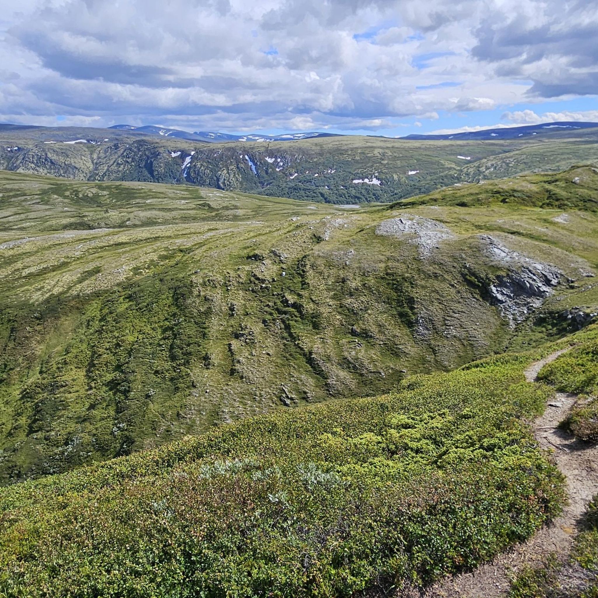
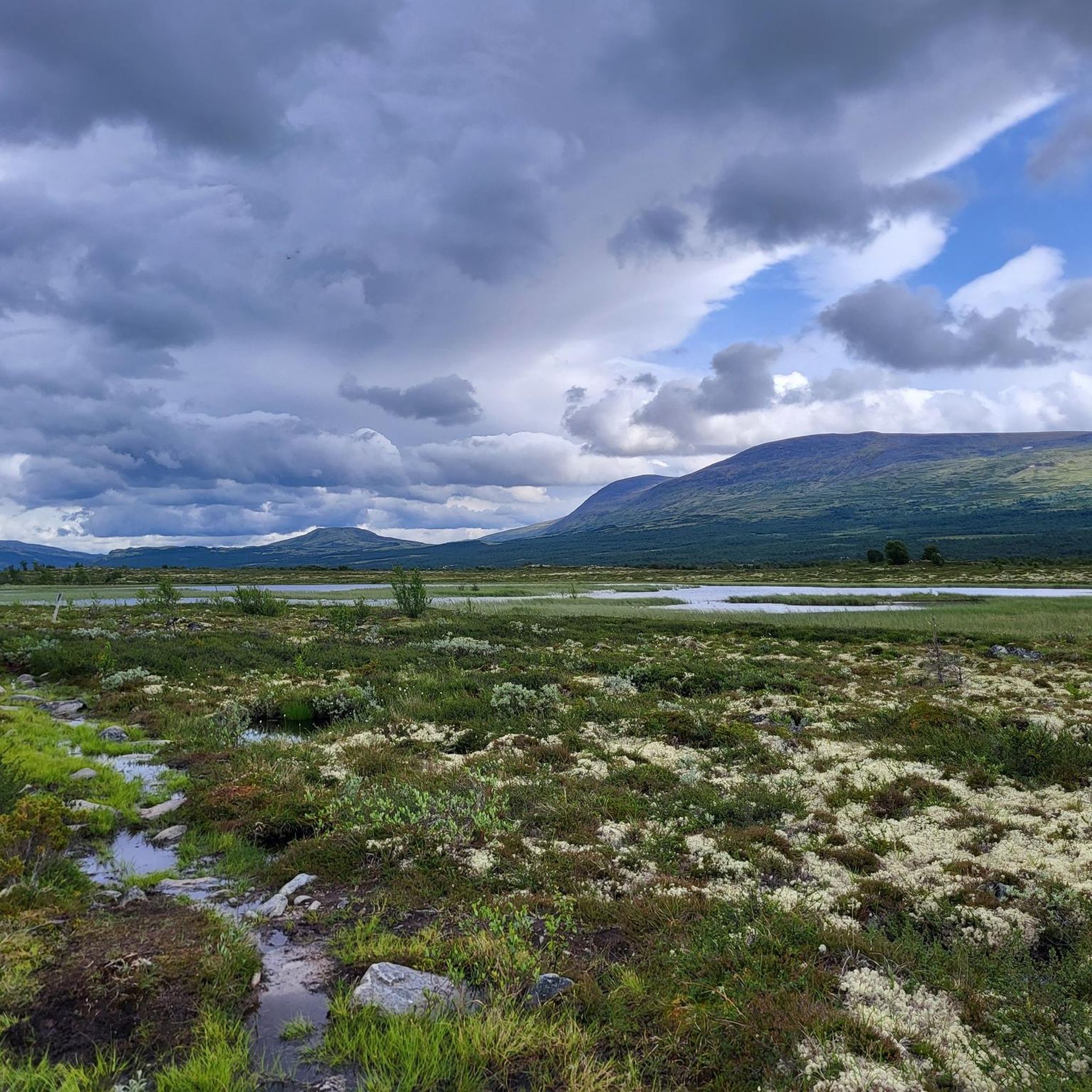
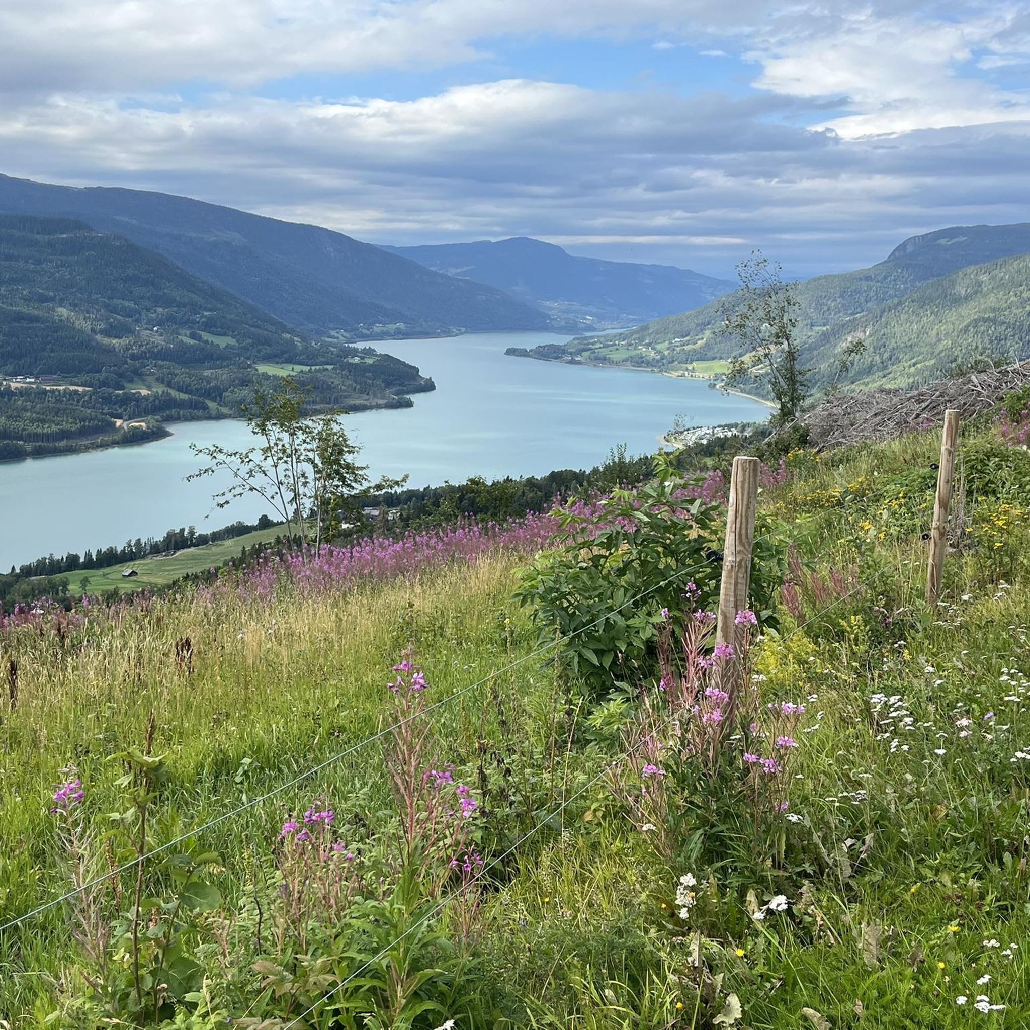
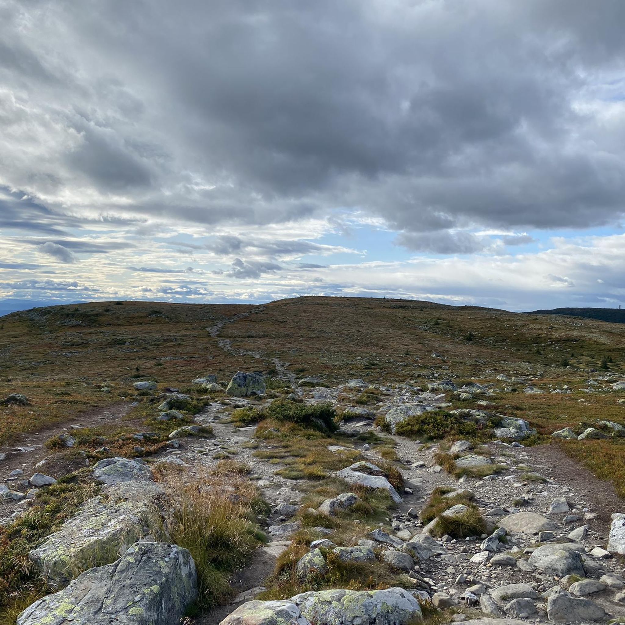
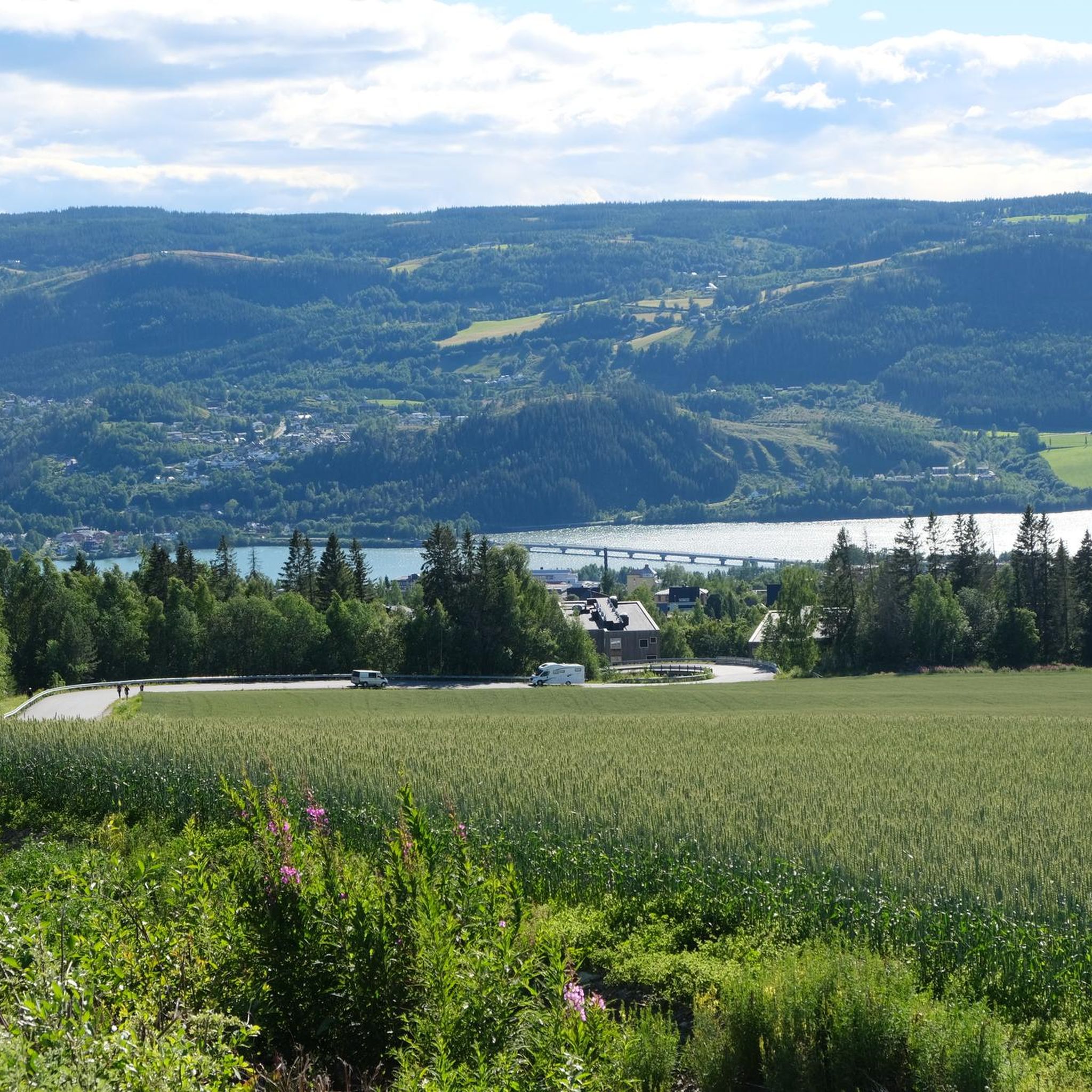
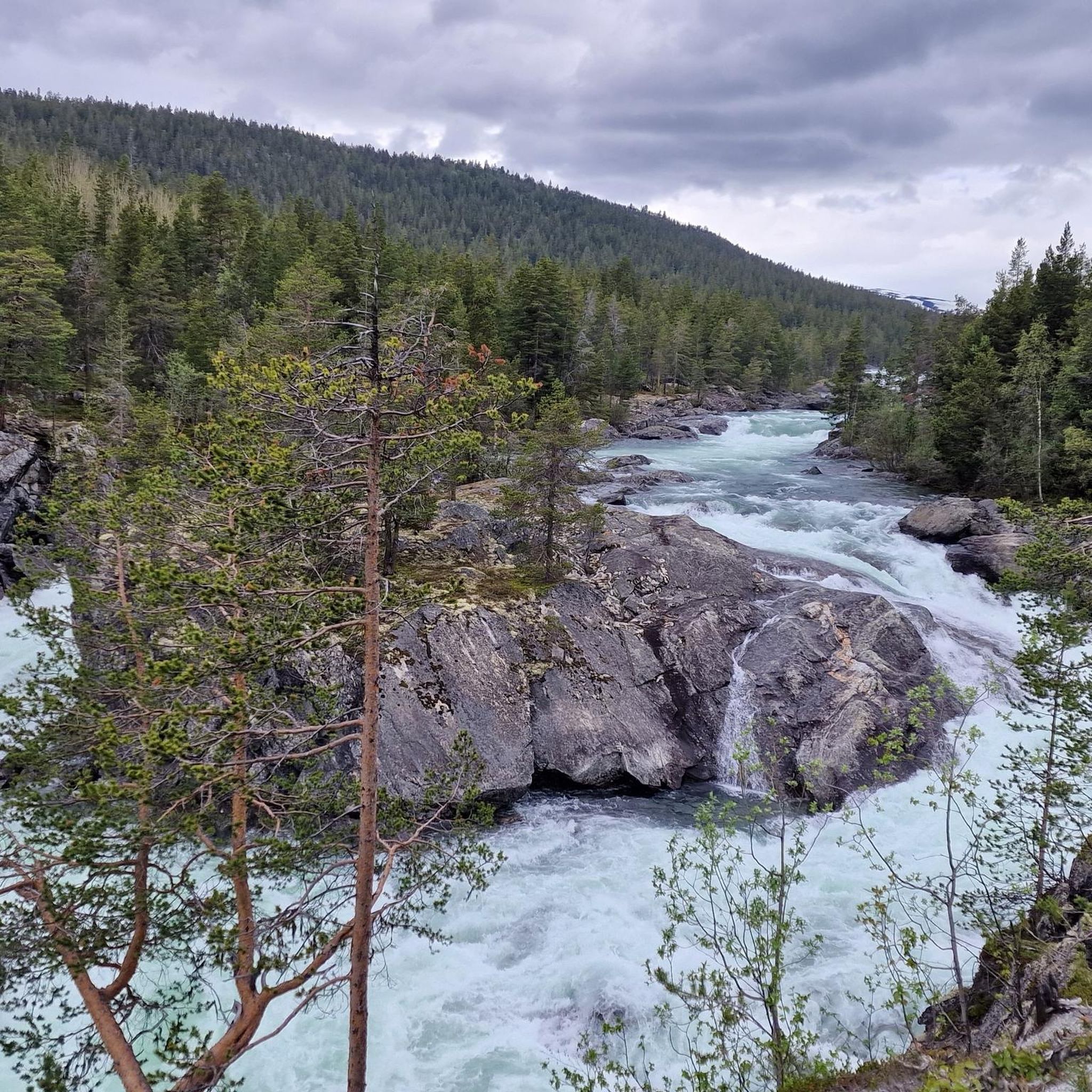
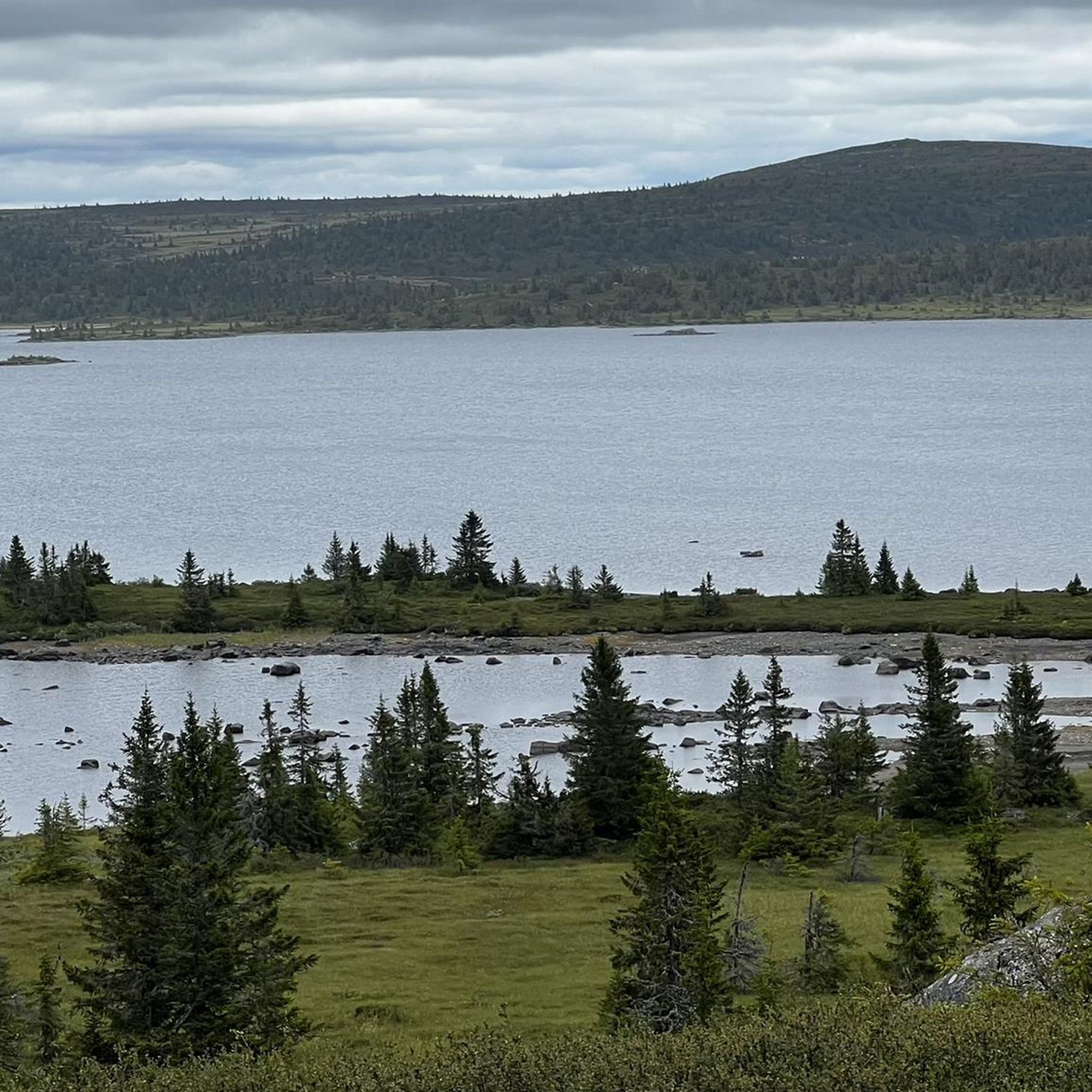
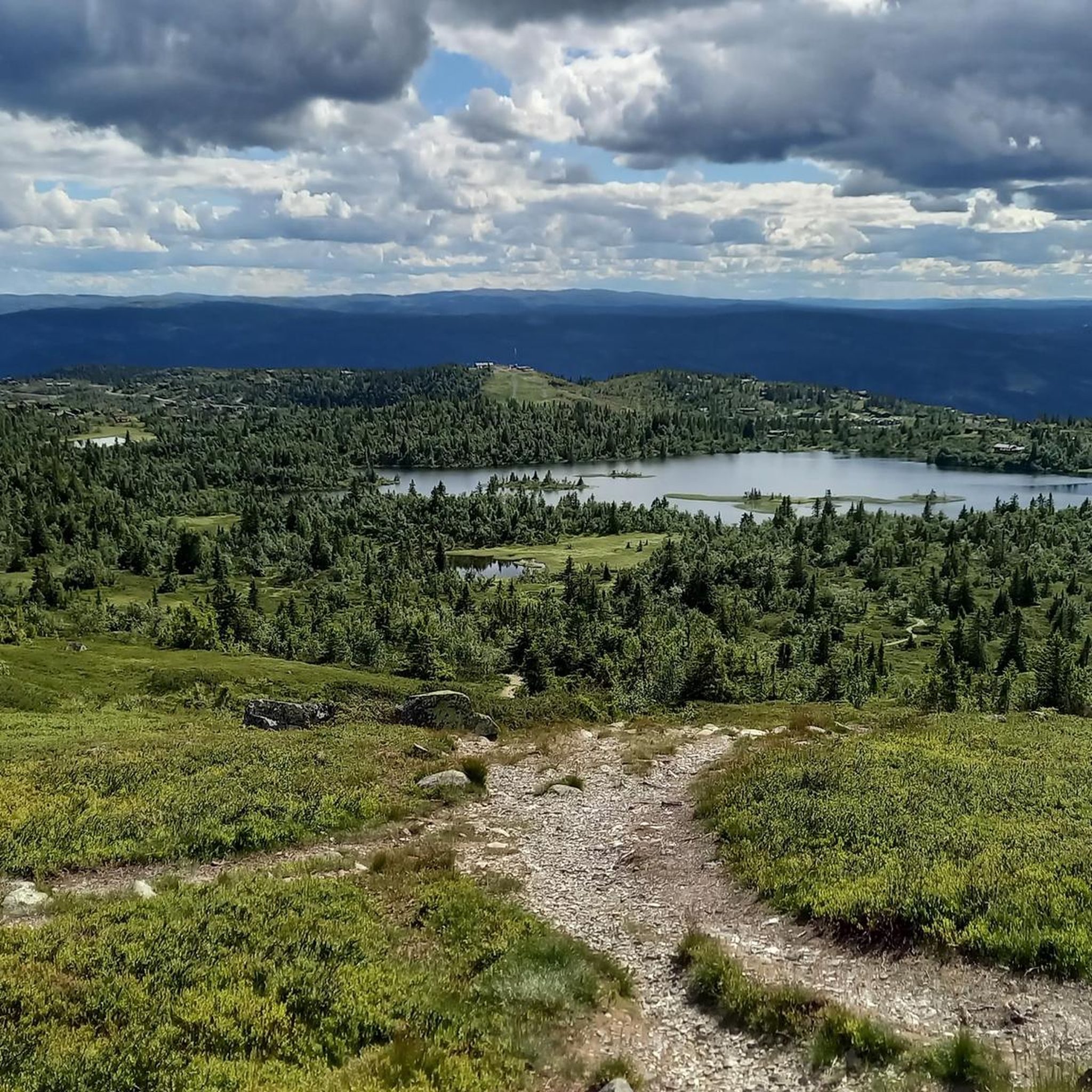
オップランでのの他の冒険


コミュニティからのヒント

アドラーケレンからは、ガイランゲルフィヨルドの入り口と町への素晴らしい景色が見えます。
2
0

素敵なトラックです。シングルトラックの半分は砂利道で走行可能であるはずです。残りはハイキング・ア・バイクです。
0
0


Great view of the fjord and the ship. The effort is worth it.
3
0

This rest stop viewpoint is perfect for a break, with plenty of benches, clean toilets, and an observation tower overlooking the valley. Bring binoculars – you may spot moose or birds from the hillsides, and if you’re lucky, even catch the northern lights.
0
0

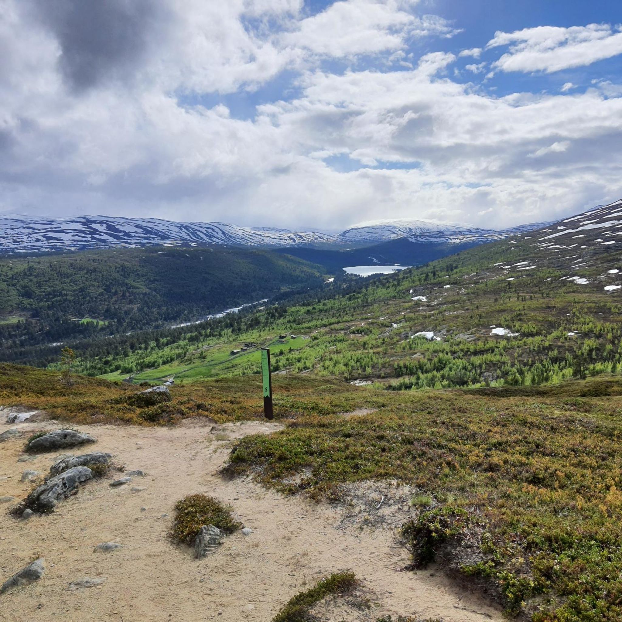
From this viewpoint near Dombås, you can enjoy a beautiful view of the surrounding valleys. Often, even in summer, the peaks all around are covered in snow.
0
0
Near the lakes north of Dovre National Park, this wooden footbridge allows you to easily cross a stream. It is wonderful to see how, even in the most remote parts of Norway, there are facilities that are well maintained and useful for cyclists.
0
0

komootモバイルアプリでインスピレーションを得よう


探していたものは見つかりませんでしたか?
オップランの下にある他のサイクリングルートをチェックして、目的地で完璧なルートを見つけましょう。
さらに探索
他の地域の最高のサイクリングルートを見てみましょう。
