ポンメルスブルンのおすすめMTBライド
4.8
(95)
383
ライダー
63
ライド
ポンメルスブルン周辺には魅力的なマウンテンバイクルートがいくつもありますが、冒険を始めるにはその場所とルートを把握する必要があります。ここでは、komootが提供するポンメルスブルン周辺でのマウンテンバイクルートのコレクション全体を評価して選び抜いた、人気ルートをご紹介します。各ライドの詳細をぜひご覧ください。
最終更新日: 10月 1, 2026
4.8
(5)
49
ライダー
111km
07:55
1,350m
1,350m
難しいマウンテンバイクライド. 標準以上のフィットネスレベルが必要です。 高度なライディングスキルが必要です。
4.0
(1)
8
ライダー
26.6km
02:58
890m
890m
中程度のマウンテンバイクライド. ある程度のフィットネスレベルが必要です。 高度なライディングスキルが必要です。

5.0
(5)
13
ライダー
27.6km
02:54
780m
780m
中程度のマウンテンバイクライド. ある程度のフィットネスレベルが必要です。 高度なライディングスキルが必要です。
5.0
(3)
14
ライダー
43.9km
03:37
770m
770m
難しいマウンテンバイクライド. ある程度のフィットネスレベルが必要です。 高度なライディングスキルが必要です。ツアーの一部で自転車を押して歩く必要があるかもしれません。
4.4
(9)
19
ライダー
19.2km
01:24
210m
200m
初級者向けMTBライド. あらゆるフィットネスレベルに適しています。 あらゆるスキルレベルに適しています。
さらに多くのルートや他のユーザーのおすすめ情報を確認できます。
すでにアカウントをお持ちですか?
おすすめのツアーは他のkomootユーザーが実際に経験した何千ものアクティビティに基づいています。
無料アカウントで今日から始めよう
次の冒険が待っています。
ポンメルスブルン周辺で人気
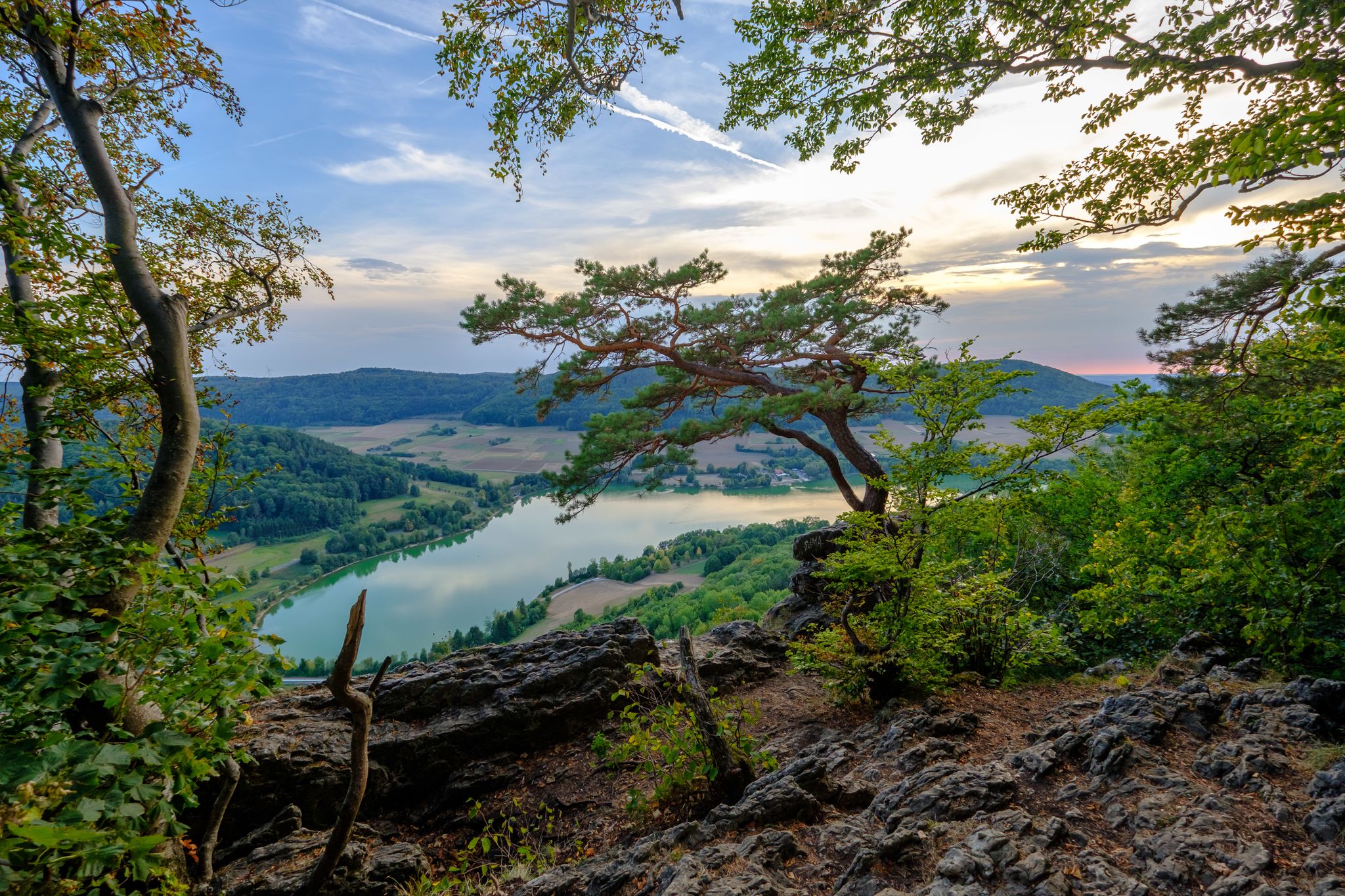
Silent FORESTS & lonely PATHS — Franconian Jura Panorama TRAIL in Germany
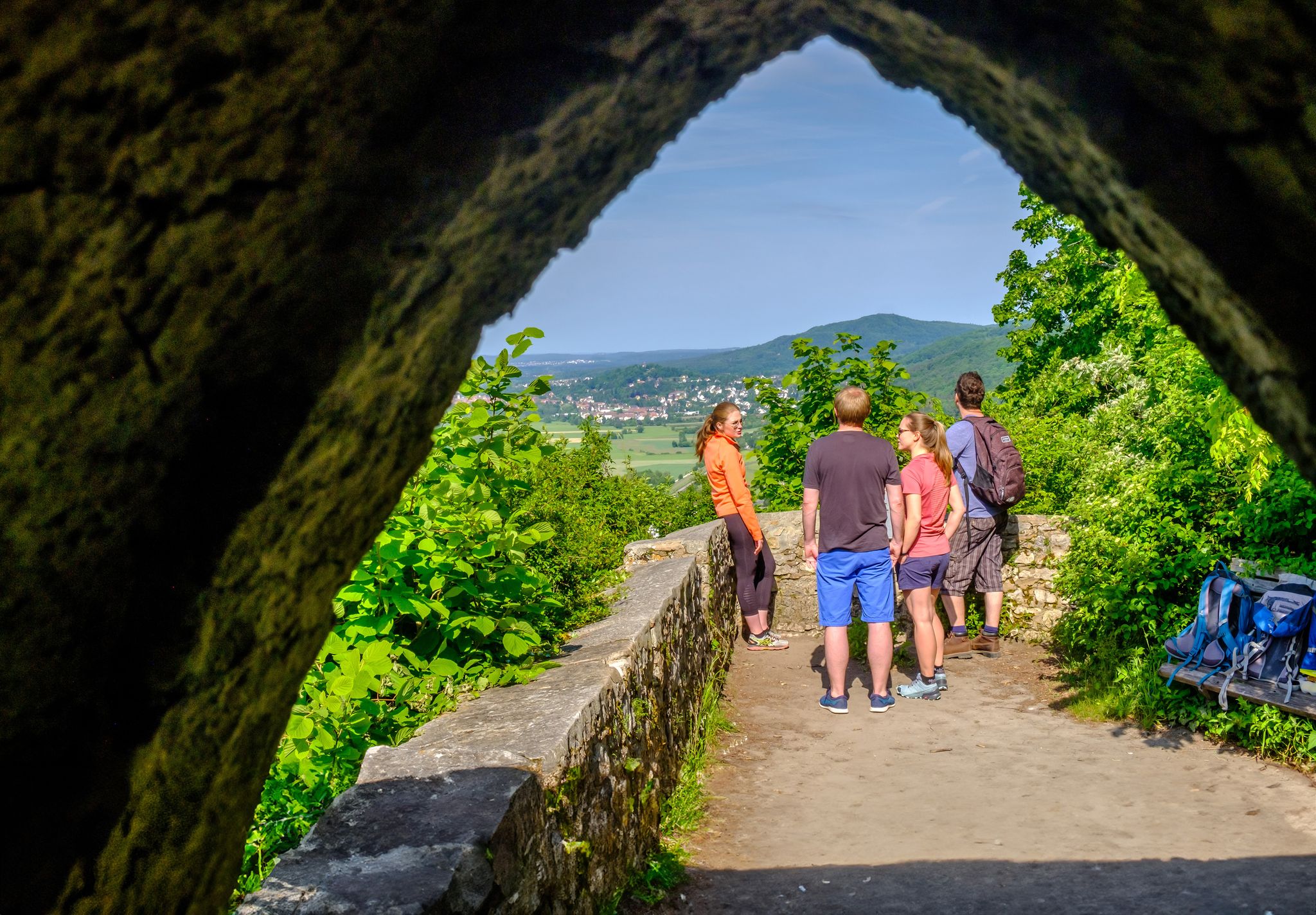
Discover a hiker’s paradise – hiking loops in the Nuremberg region
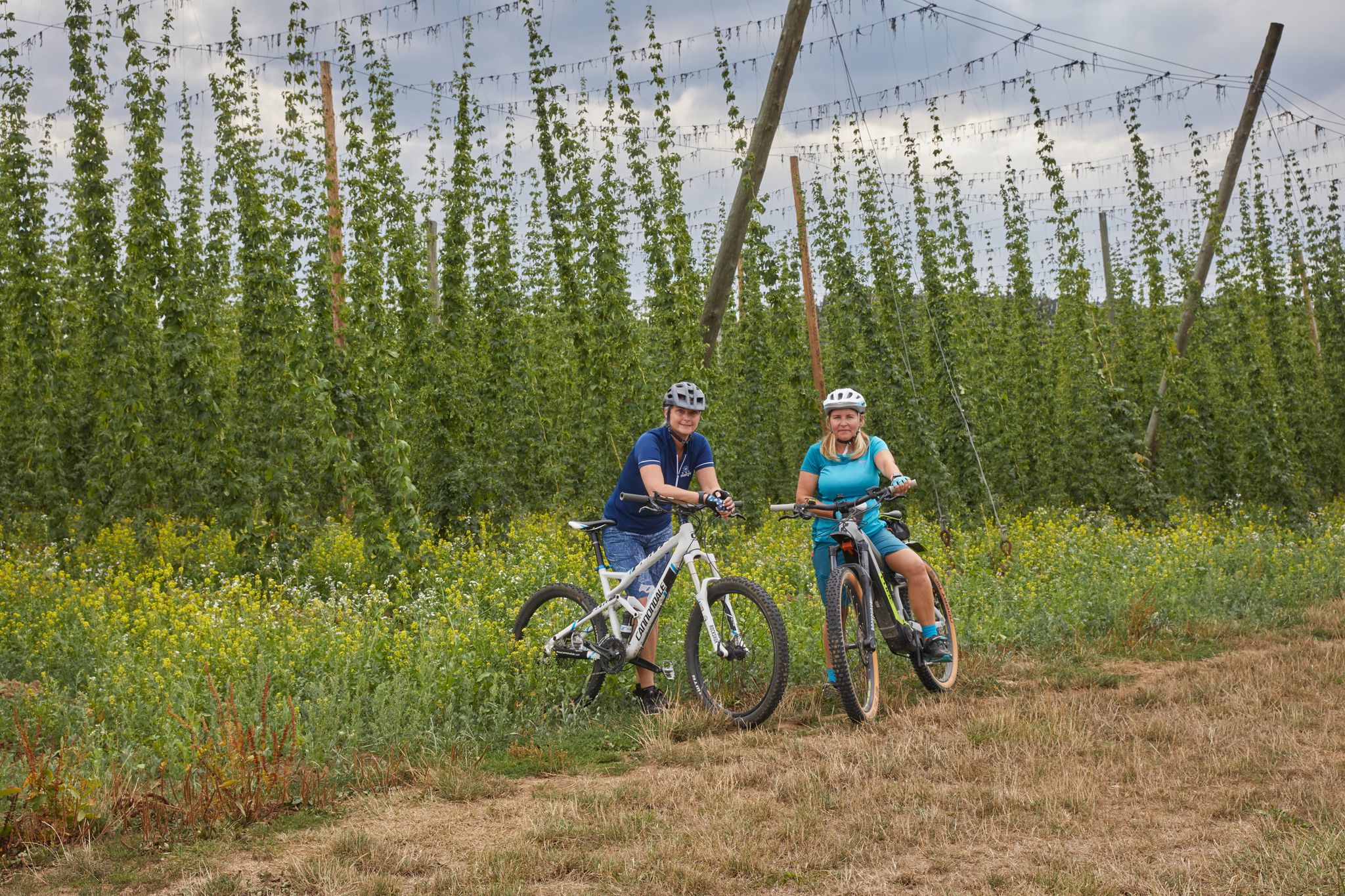
Cycling to the Hop Weeks in the Nuremberg Region
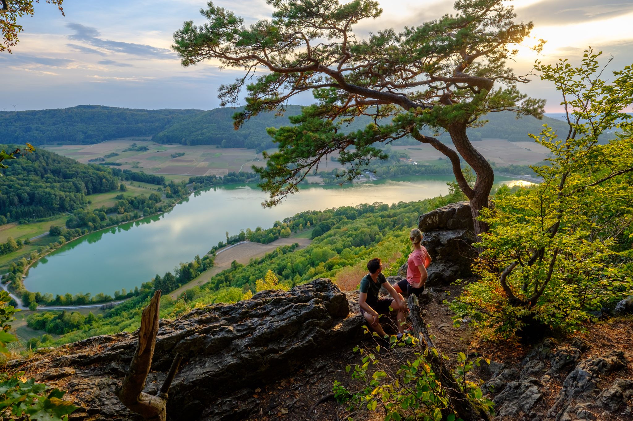
High up on the SevenSummits in the Nuremberg region
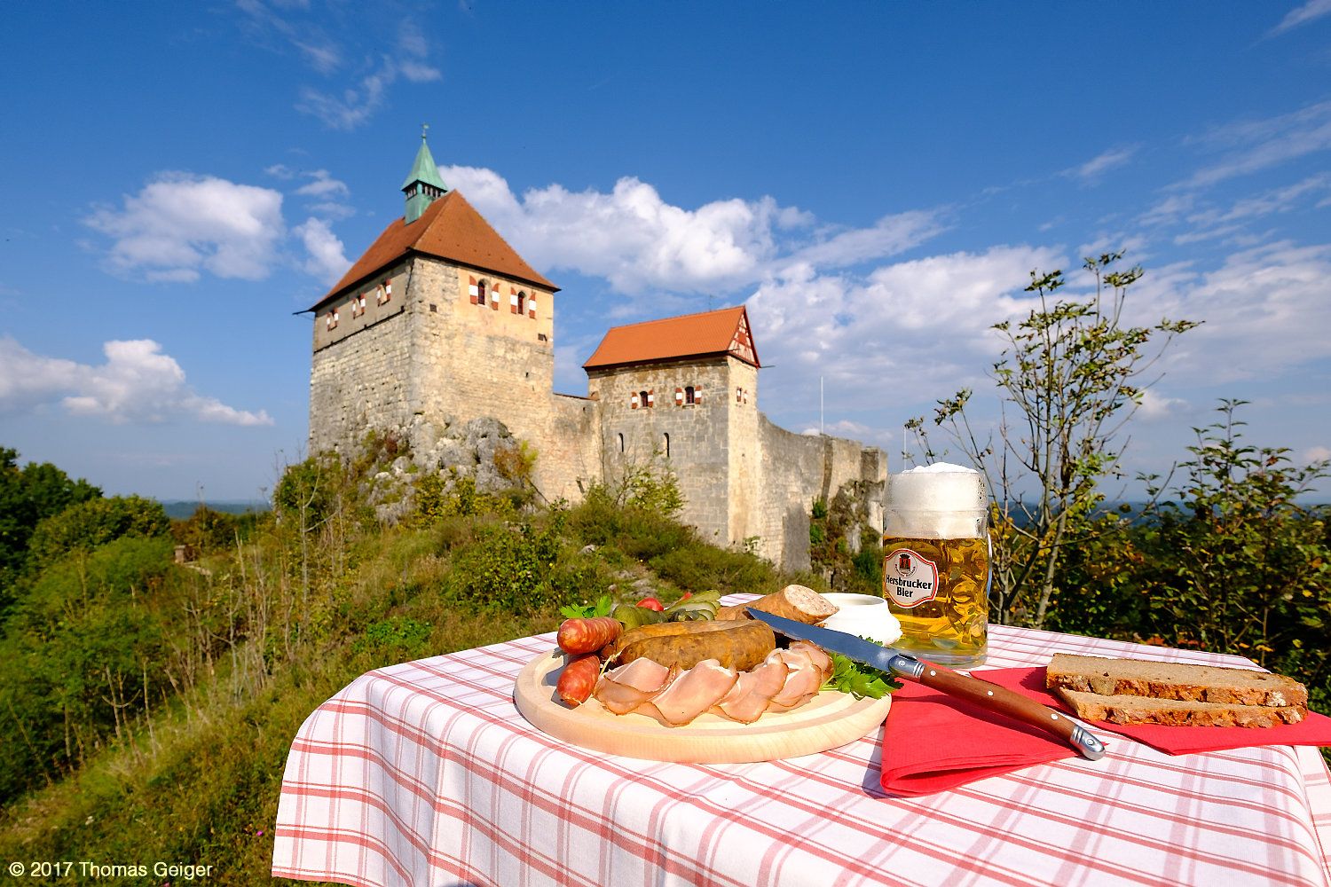
Culinary cycling Tours in the heart of the Franconian Alb mountains
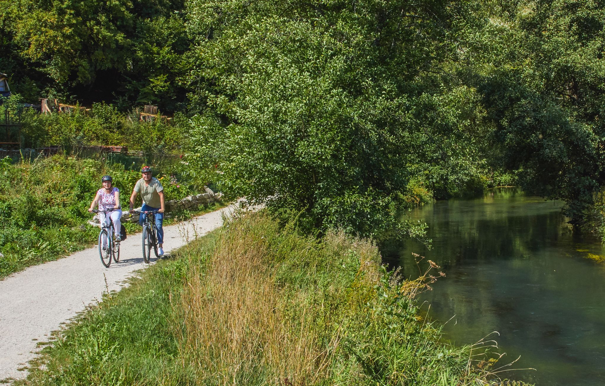
Rivers, forests, ancient castles - cycling in Nürnberger Land
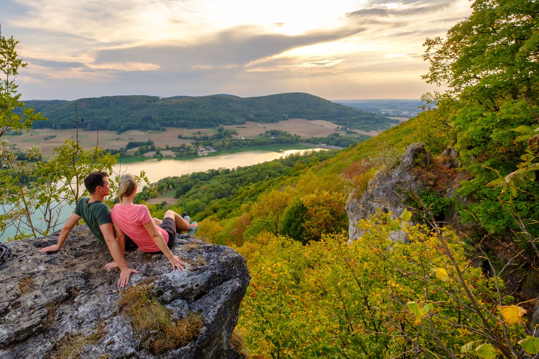
Hiking in the Nürnberger Land
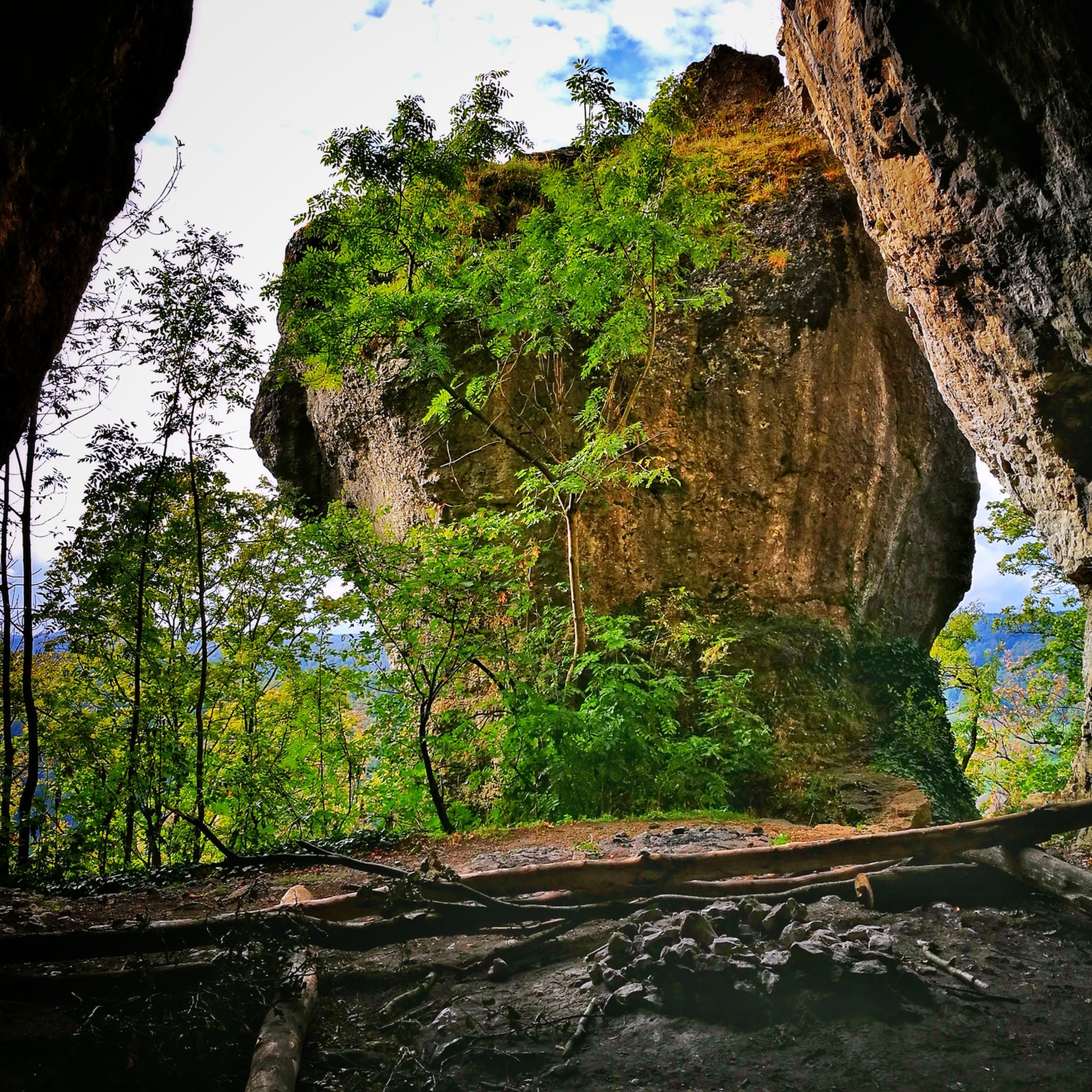
ポンメルスブルンでのハイキング
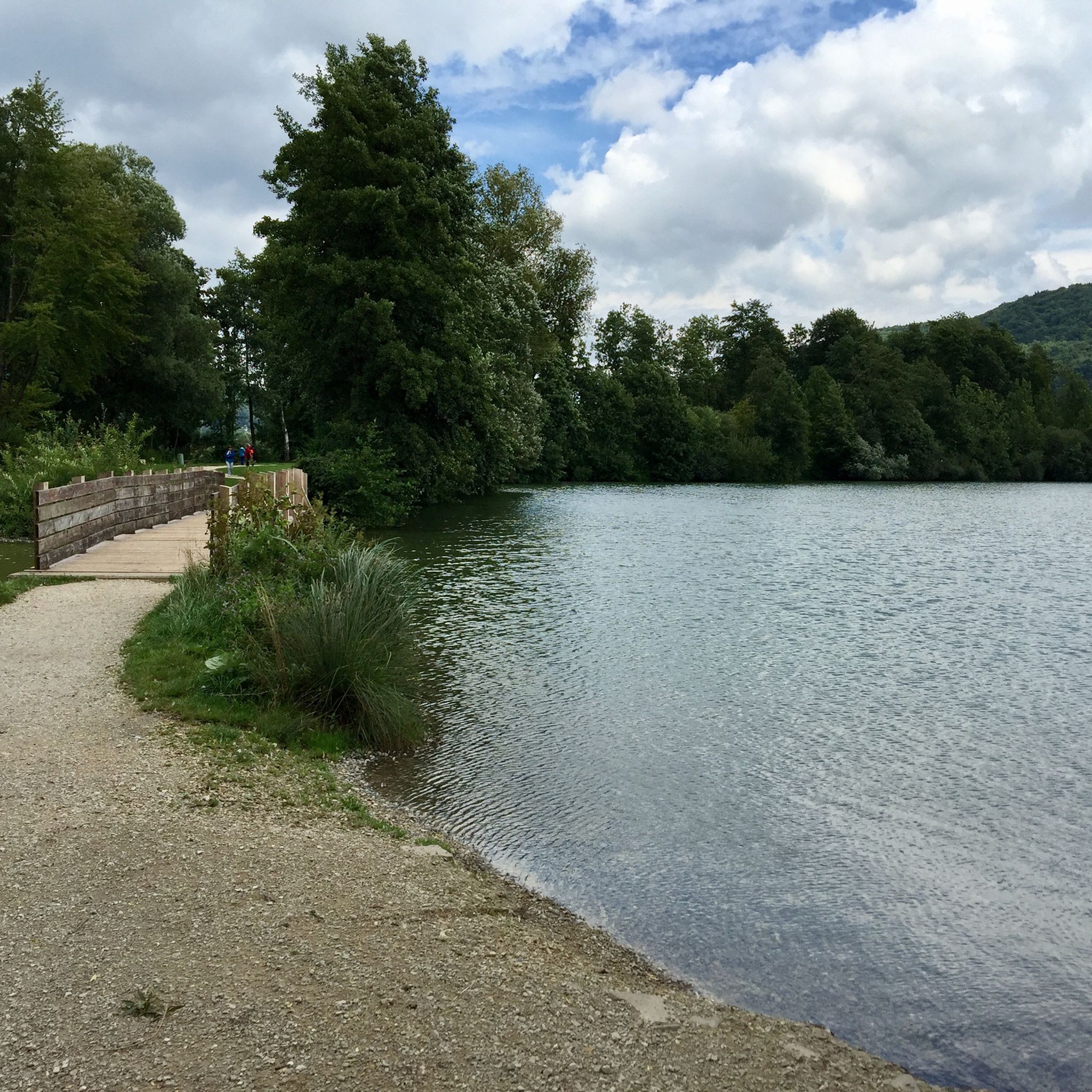
ポンメルスブルンでのサイクリング
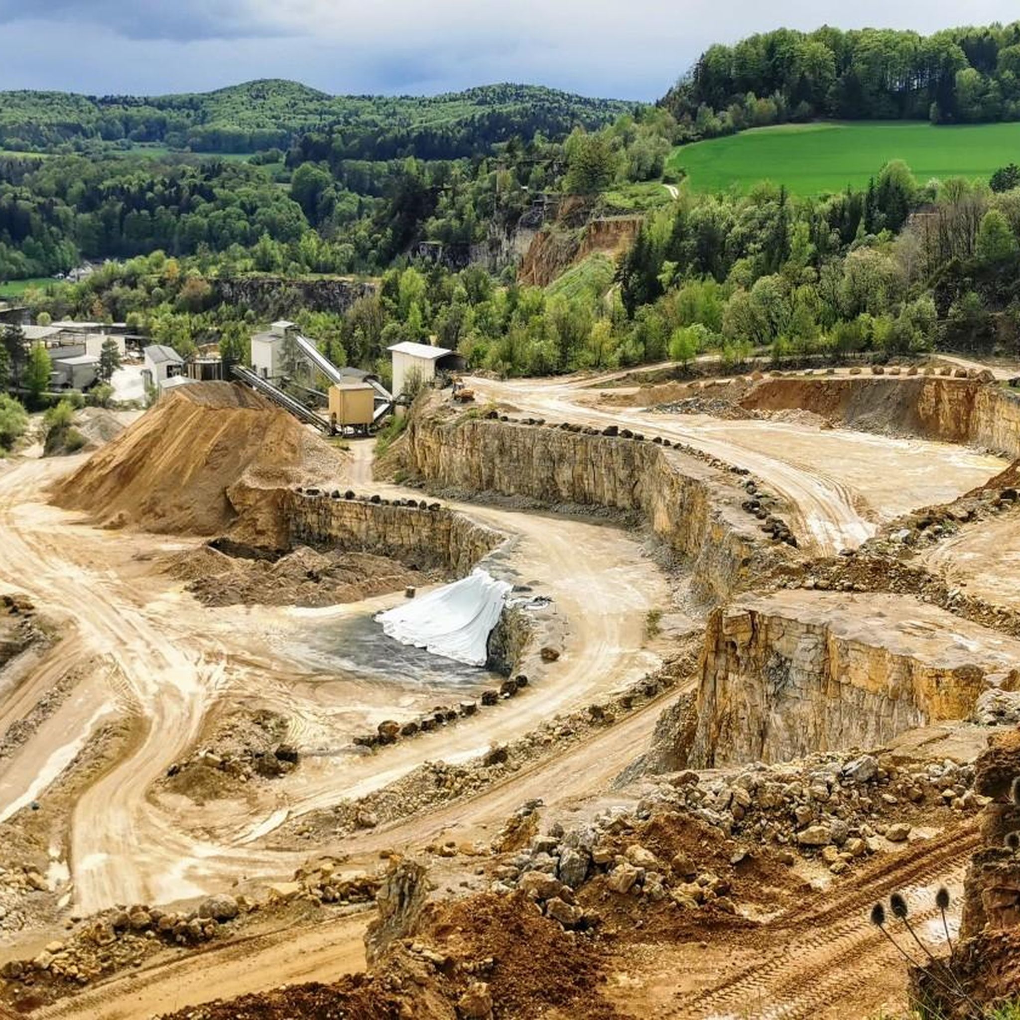
ポンメルスブルンのランニングコース

コミュニティからのヒント

Very beautiful, varied and easy route with little elevation gain.
0
0


Beautiful "tree gate" that leads directly into the beautiful Pegnitz valley
0
0

Very interesting formations, small rock stands on large
0
0

Poppberg Castle Ruins It is difficult to determine from the sources when the castle was built. It is particularly unclear whether the mentioned castles and lords of the "Puchberg," "Puckberg," or "Pocksberg" are identical with the Poppbergs. A coat of arms of the "Pocksberg" appears in the Kastl monastery church in the row of founders' coats of arms on the south side of the nave. It can be assumed that the castle was founded to control the "high road" from Prague to Nuremberg, perhaps even under the Counts of Sulzbach, who ruled until 1188. In any case, the village of Poppberg is mentioned as belonging to the Fürnried parish as early as 1139. However, the castle's existing buildings show no signs of such an early foundation; they are more consistent with the period after 1300, when tower-like residential buildings became fashionable. The first truly confirmed reference to the castle appears in 1373, when the so-called New Bohemian Lands of Emperor Charles IV passed into the hands of the Bavarian duke. Poppberg was part of this Bohemian territory on Upper Palatinate soil, founded by Charles in 1353, but dissolved after his death. The Bavarian dukes pawned the castle to their Palatinate relatives in 1395, but redeemed the pledge in 1451. What seems odd is that two years later the castle is described as "deserted and desolate," meaning it was already abandoned. In 1505, after the Landshut War of Succession, Poppberg passed to the Duchy of Palatinate-Sulzbach, and in 1791 to Bavaria, but remained abandoned and fell into disrepair until the present day. The entrance to the castle is protected by a narrow tower on a pointed rock formation that forms the highest point of the castle. The upper part of the tower is occupied by a recently built, concreted shelter, which served as an air observation post during World War II. A circular wall adjoins the rock formation, forming a clearly visible edge of the terrain and extending extensively around the entire area. Traces of soil near the entrance suggest several utility buildings. The most impressive part of Poppberg is the residential building, a typical late medieval mixture of residential tower and palace dating from after 1300. The lower floor of the building probably served as a pantry and kitchen. The second floor is much more residential, with larger windows and two large entrances leading to the former battlements on either side. A third floor is suspected. Source: www.burgenseite.de
5
0
Reservoir is always good, best to avoid in good weather, unfortunately it is completely overcrowded
1
0

From Happurg train station via Hersbruck to Lauf and back to the Happurg bathing lake (reservoir). With a coffee break in Lauf and a beer at the bathing lake restaurant. Highly recommended. Have fun.
0
0

Beautiful stretches in a truly idyllic landscape
1
0

komootモバイルアプリでインスピレーションを得よう


さらに探索
他の地域の最高のMTBトレイルを見てみましょう。
