ルート

プランナー

機能

アップデート

App

ログインまたはサインアップ

アプリを入手

ログインまたはサインアップ

ルート
ハイキング
ドイツ
シュレスヴィヒホルシュタイン
シュタインブルク

ノイエンドルフ-サッセンバンド

ノイエンドルフ-サッセンバンドのおすすめウォーキング&ハイキングルート

4.6

(1765)

7,006

ハイカー

570

ハイキング

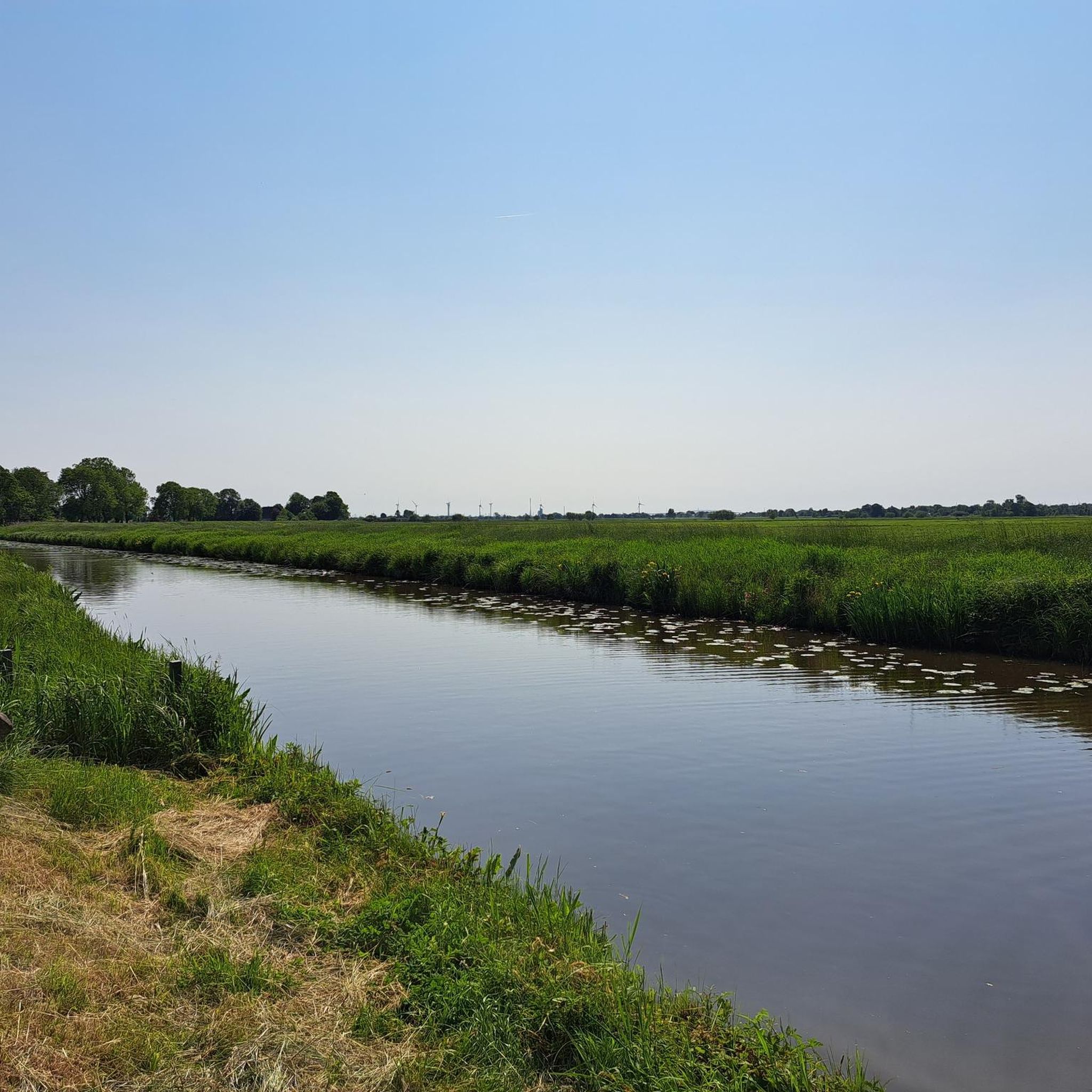
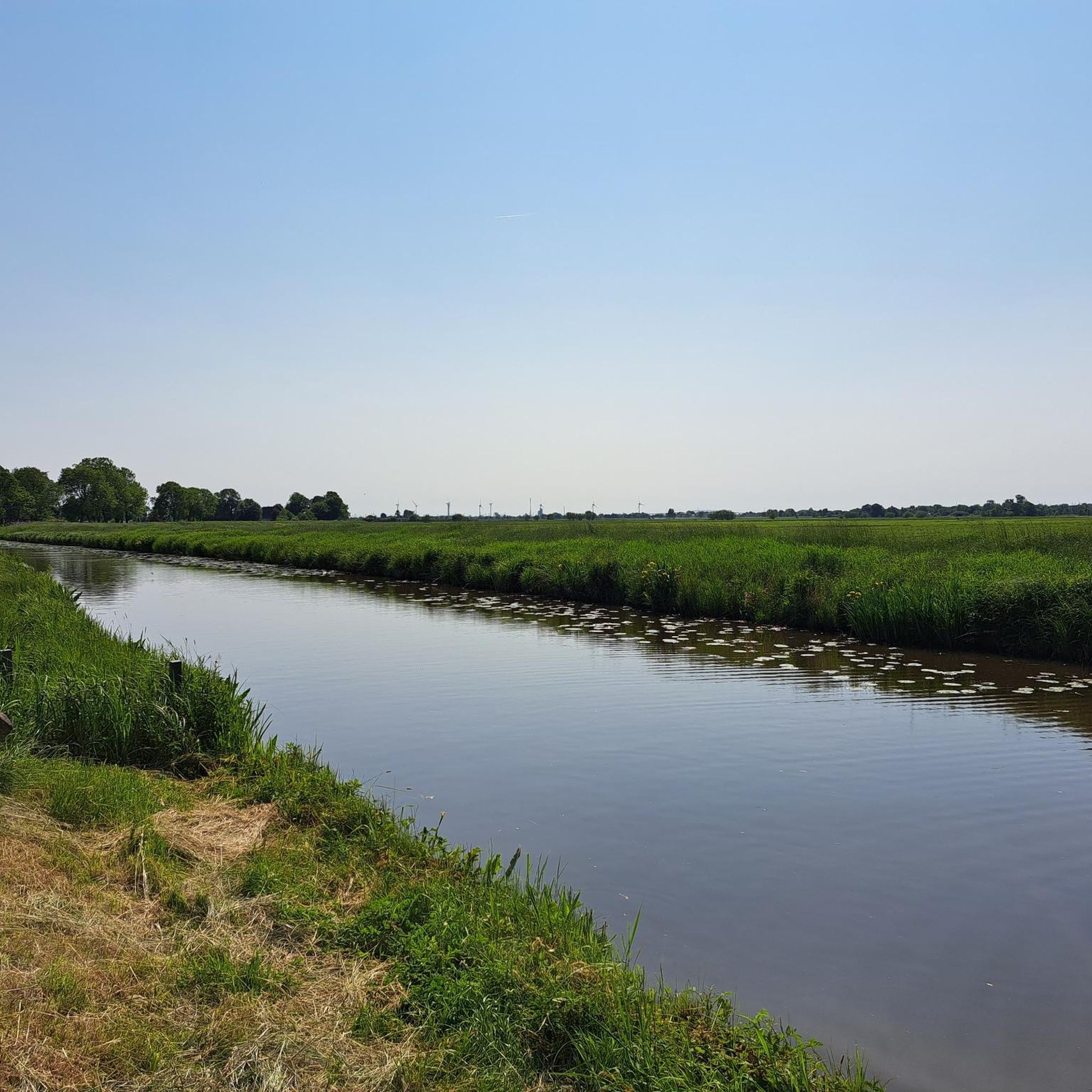
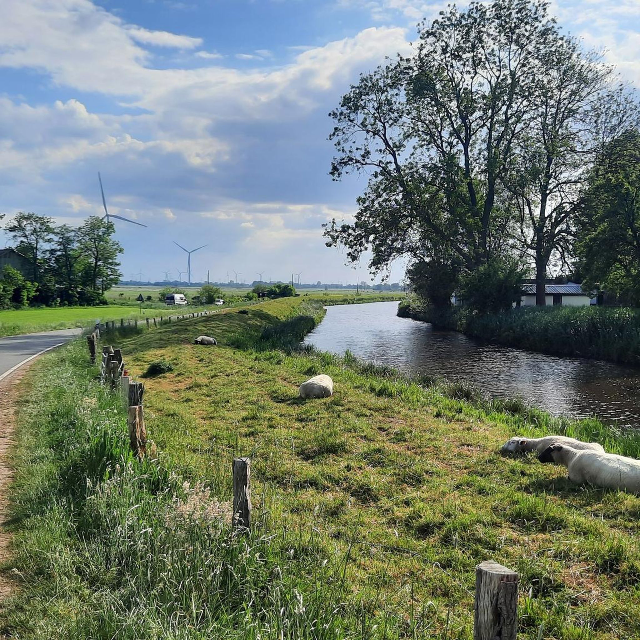
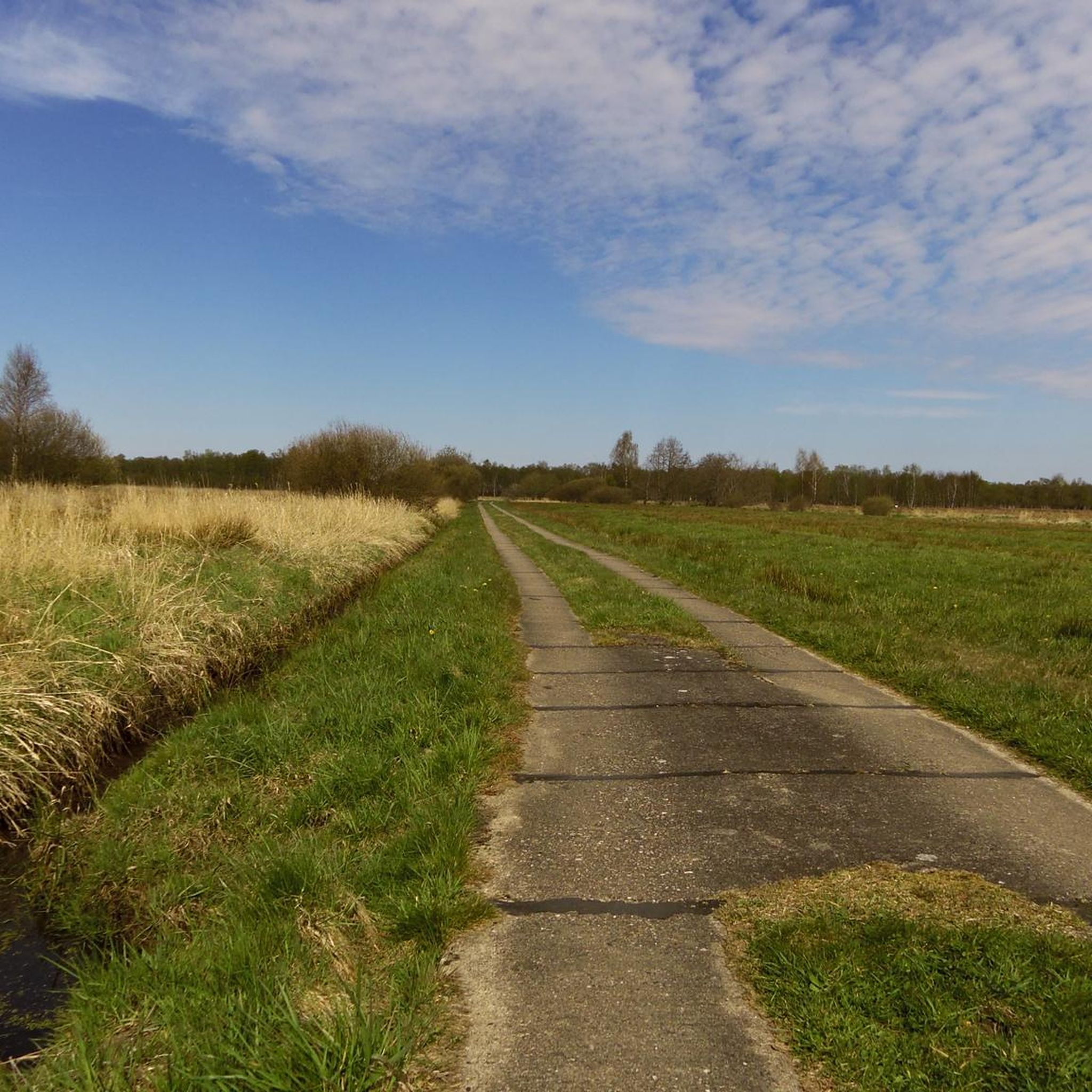
Neuendorf-Sachsenbanden周辺のハイキングは、ドイツ、シュレースヴィヒ=ホルシュタイン州のヴィルスターマルシュ地方にある、特徴的な低地の景観を探検する機会を提供します。この地域は、広大な水路、堤防、そして海抜マイナス3.54メートルというドイツで最も低い地点を含む、平坦な農耕地で特徴づけられています。この環境は、ゆったりとした散策や、その低い標高によって形作られたユニークな自然および文化的要素を観察する機会を提供します。地形は一般的に平坦で、様々な体力レベルの人々がアクセスしやすいです。

Neuendorf-Sachsenbanden周辺の最高のハイキングトレイル

  • 最も人気のあるハイキングルートは、キール運河を渡るブルク・フェリー – ホッホドーン鉄道橋ループ(ブルガー・フェーアハウス発)です。これは5.8マイル(9.4 km)のトレイルで、所要時間は2時間21分で、キール運河とそのインフラの景色を楽しめます。
  • 地元のハイカーに人気のもう一つのトレイルは、ドイツ最低地点 – ヘレンムーア・バイ・クレーフェの眺めループ(Neuendorf-Sachsenbande発)です。これは中程度の難易度で8.1マイル(13.0 km)のルートです。このルートは、この地域のユニークな低地の景観を通り抜けます。
  • 地元のハイカーに愛されているのは、キール運河を渡るブルク・フェリー – 旧鉄道高架橋ループ(ブルガー・フェーアハウス発)です。これは7.8マイル(12.5 km)のトレイルで、湿地帯を抜け、水路沿いを歩き、所要時間は約3時間15分です。
  • Neuendorf-Sachsenbanden周辺のハイキングは、広大な水路、堤防、そして平坦な農耕地によって特徴づけられています。ルートネットワークは、様々なレベルの能力を持つ人々向けのオプションを提供しています。
  • Neuendorf-Sachsenbandenのルートは、komootコミュニティから高く評価されており、1600件以上のレビューで平均4.6つ星を獲得しています。7000人以上のハイカーがkomootを利用して、Neuendorf-Sachsenbandenの多様な地形を探検しています。

最終更新日: 7月 10, 2026

4.8

(31)

84

ハイカー

#1.

Burger Fährhausから出発する ホッホドン鉄道橋 – Hochdonn鉄道橋 ループコース

9.39km

02:22

10m

10m

中程度のハイキング. ある程度のフィットネスレベルが必要です。 進みやすいルートです。あらゆるスキルレベルに適しています。

デバイスでナビ

スマートフォンに送信

保存

中程度

初級者向けハイキング. あらゆるフィットネスレベルに適しています。 進みやすいルートです。あらゆるスキルレベルに適しています。

初級
guide_signup
私たちがkomootモバイルアプリで道を示します
無料の komoot アカウントがあれば、無限のアウトドアコースを簡単に見つけてカスタマイズし、ナビで案内できます。

無料新規登録

中程度のハイキング. ある程度のフィットネスレベルが必要です。 進みやすいルートです。あらゆるスキルレベルに適しています。

中程度

中程度のハイキング. ある程度のフィットネスレベルが必要です。 進みやすいルートです。あらゆるスキルレベルに適しています。

中程度

中程度のハイキング. ある程度のフィットネスレベルが必要です。 進みやすいルートです。あらゆるスキルレベルに適しています。

中程度
無料新規登録すると、ノイエンドルフ-サッセンバンドでのでのハイキングをさらに566件ご覧いただけます。

さらに多くのルートや他のユーザーのおすすめ情報を確認できます。

無料新規登録

すでにアカウントをお持ちですか?

おすすめのツアーは他のkomootユーザーが実際に経験した何千ものアクティビティに基づいています。

無料アカウントで今日から始めよう

次の冒険が待っています。

ログインまたは登録

ノイエンドルフ-サッセンバンド周辺で人気

ドイツで最低から最高

ノイエンドルフ-サッセンバンドでのサイクリング

ノイエンドルフ-サッセンバンドのロードバイクルート

ノイエンドルフ-サッセンバンドのランニングコース

ノイエンドルフ-サッセンバンドのMTBトレイル

ノイエンドルフ-サッセンバンドでののグラベルライド

ノイエンドルフ-サッセンバンドでのの他の冒険

ドイツで最低から最高

ハイキングのコレクション によって

Christo Foerster

コミュニティからのヒント

Ole
4月 27, 2026, Rumflether Mühle Aurora

Rumflether Mühle

0

0

Kirsten 🌺
4月 20, 2026, Burger Au

ブルガー・アウは、シュレースヴィヒ=ホルシュタイン州北部のディットマーシェンにあるブルク近郊の、いわゆるマルシェン水域であり、キール運河とほぼ平行に流れています。かつてブルガー・アウは地域の貨物輸送にとって重要な水路であり、岸辺にはブルガー・アウ港(後のカッテンシュティーク)が建設され、主にクドーゼン低地からの農産物や泥炭が取り扱われていました。

Google翻訳による翻訳

0

0

ブルクの旧港は長い歴史を誇っています。かつてはディットマーシェンにおける海運の重要な積み替え地点であり、何十年にもわたりこの地の生活を形作ってきました。今日、静かな湖は船乗りや渡し守の時代を偲ばせ、この地の過去を今も色濃く感じさせてくれます。

Google翻訳による翻訳

1

0

The Old Country Pharmacy on the market square in Burg Dithmarschen is a historical gem with a unique history that lives on today in a museum. The royally privileged pharmacy was originally founded in 1839 in a roughly 200-year-old building on the market square in Burg. The building is often described as picturesque, with blue wooden doors in a white house surrounded by old linden trees. The pharmacy's historical inventory was later closed (the pharmacy itself closed in 2010) and reconstructed as a pharmacy museum on the upper floor of the local history museum, DITMARSIUM (Große Mühlenstraße 6), and opened to the public.

Google翻訳による翻訳

0

0

The interior of the ring wall is occupied by the old Burg cemetery. The castle is associated with a legend according to which, in 1145 AD, Count Rudolf of Stade and his wife Walburga were murdered by peasants who had treacherously entered the castle. The old cemetery has been located within the historic ramparts of Bökelnburg since 1818. The graves and cemetery paths are situated within the ring wall. The unique combination of an early medieval defensive structure and a place of final rest makes this cemetery a historically and scenically significant site. The high, tree-covered rampart encircles the cemetery like a natural protective cloak. The only entrance gate of the former castle was probably located on the site of the present-day cemetery chapel.

Google翻訳による翻訳

0

0

Bökelnburg Castle and its cemetery form an exceptional and historically significant ensemble in Burg. Bökelnburg is one of the best-preserved early medieval ringforts in Schleswig-Holstein and is considered the namesake of the town of Burg. It was probably built at the end of the 8th or beginning of the 9th century and served as an important defensive fortification and refuge for the Saxon population against raids by Vikings, Slavs, and Franks. It is an impressive earthwork, which still stands approximately six meters high. The site is strategically located on the high edge of the geest (glacial upland), offering a panoramic view across the Wilster marshland and the Kiel Canal. A circular path runs along the top of the rampart, providing beautiful vistas.

Google翻訳による翻訳

0

0

Before Burg had a modern central water supply, public wells like the Bauern-Soot (Farmers' Well) were vital for the population, especially for the farmers (hence the name "Bauern-Soot"). 1839/40: A pump was installed. Its use was regulated: Each person received a key to open the lock on the pump handle. 1910: A new wooden pump handle was acquired. 1922: This was replaced by an iron pump.

Google翻訳による翻訳

1

0

Kirsten 🌺
11月 24, 2025, Herthateich

The Herthateich pond is the ideal place to experience Burg's unusual topography (forest and hills in the heart of Dithmarschen). It combines nature (orchard), culture (open-air stage), and history (Bökelnburg Castle) in a very small area. The Herthateich is located in the center of the health resort of Burg. The area is characterized by a strong contrast to the otherwise rather flat marsh landscape of Dithmarschen. Because Burg lies on the geest (a ridge), the area around the pond is hilly and wooded, giving it an almost fairytale-like, sheltered atmosphere.

Google翻訳による翻訳

0

0

ノイエンドルフ-サッセンバンドでのの人気ルート

ノイエンドルフ-サッセンバンドの交通量の少ないサイクリング

ノイエンドルフ-サッセンバンドでのの人気観光スポット

Places to see

Store rating

komootモバイルアプリでインスピレーションを得よう

無料のkomootアカウントがあれば、無限のアウトドアコースを簡単に見つけてカスタマイズし、ナビで案内できます。

または

今すぐkomootに参加しよう

Store rating

さらに探索

他の地域の最高のハイキングを見てみましょう。

Wälder Im AukrugHennstedter HolzホーエンロックシュテットイツェホークロンスモールボルスフレートヴィーデンボルシュテルブロメッシェワイルドニスVaaler Moor Und HerrenmoorシュテルカテンヴェヴェルスフレートコルマールグリュックシュタットBinnendünen NordoeロックシュテットクレンプドルフヴェスターモーアケリングフーゼングリッボームホドルフザルフーゼンSchierenwaldヘルツホルンEngelbrechtsche WildnisクレンペオエッシェビュッテルエルスコップクレンパーハイデクレンパーモールバーレンフレートボケルレームレーガードルフマルズバーグハイリゲンシュテットンヴァッケンウィレンシャレンミュンスタードルフカアークスクヴァルンシュテットノイエンブロークヌッテルンロフトヴァアラーモールペシェンドルフハーデンフェルトエックラクLandrechtバガーゼーホーエンフェルドエリックドルフシュテルドルフヴィンゼルドルフヴァアレアエビッシンヴィッシュポイエンベルクヒングシュトハイドスーダーアウパルアゲトホルストクルンメンディエクHerrenmoor Bei KleveグレーヴェンコップブロクドルフジルツェンフイェデーゲリングホルシュテニエンドルフヴィルスターローバルベクシュロットフェルドダムフレートサマーランドメールベクベクドルフボクホルストブライテンブルクバイデンフレートホーエンアシュペベクミュンデヴィッテンベルゲンアウウーファーノイエンドルフベイエルムスホーンビュッテルザンクトマルガレーテンフィッツベクベスドルフラントシャイデモールティークカイスボルシュテルアースビュッテルミューレンバルベクハイリゲンシュテットネールカンプアルテンモーアヴァルリングホルツDrager Forstヴルスモール手首Reherクーデンゼークリスティーネンタールニーンビュッテルペイセンブロクシュテットモールフーゼンキービッツライエオッテンビュッテルオルデンボルシュテル

近くのアドベンチャーガイド

ヴァアラーモールでやるべきこと

background

新しいピークを征服する準備をしよう

無料でサインアップ

探検する
ルートルートプランナー機能ハイキングMTBトレイルロードバイクルートバイクパッキングサイトマップ
アプリをダウンロード
SNSでフォローする

© komoot GmbH

プライバシーポリシー