メルツドルフのおすすめウォーキング&ハイキングルート
4.6
(1270)
4,071
ハイカー
12
ハイキング
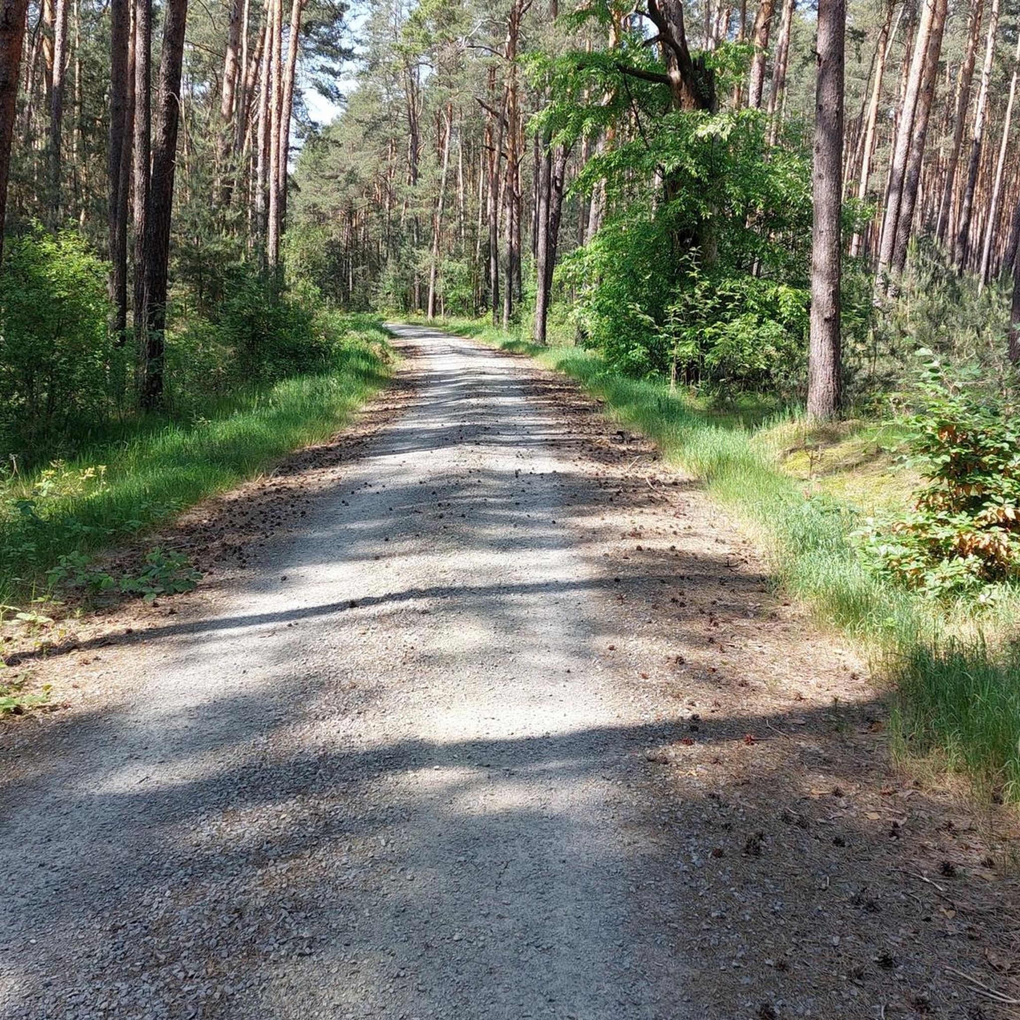
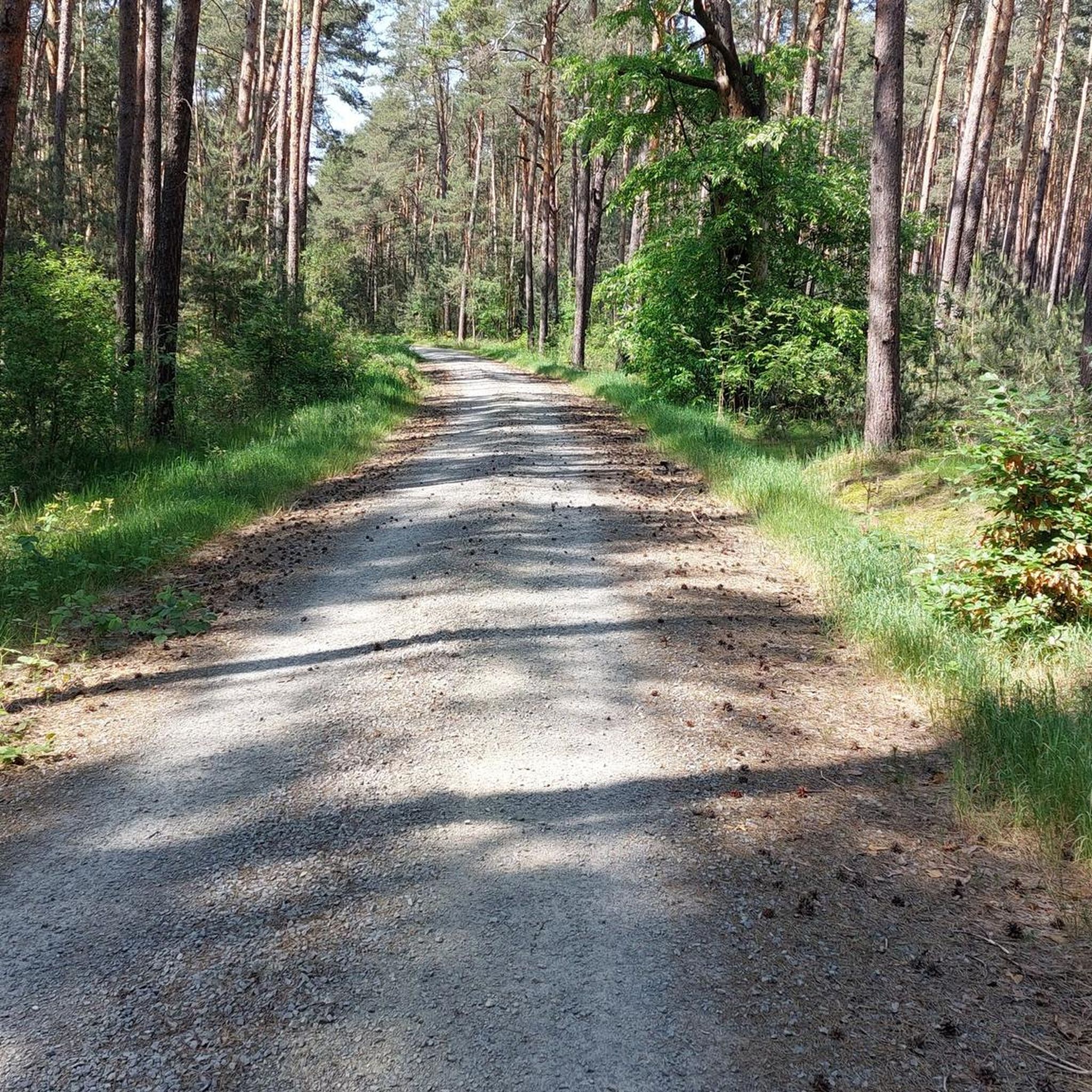
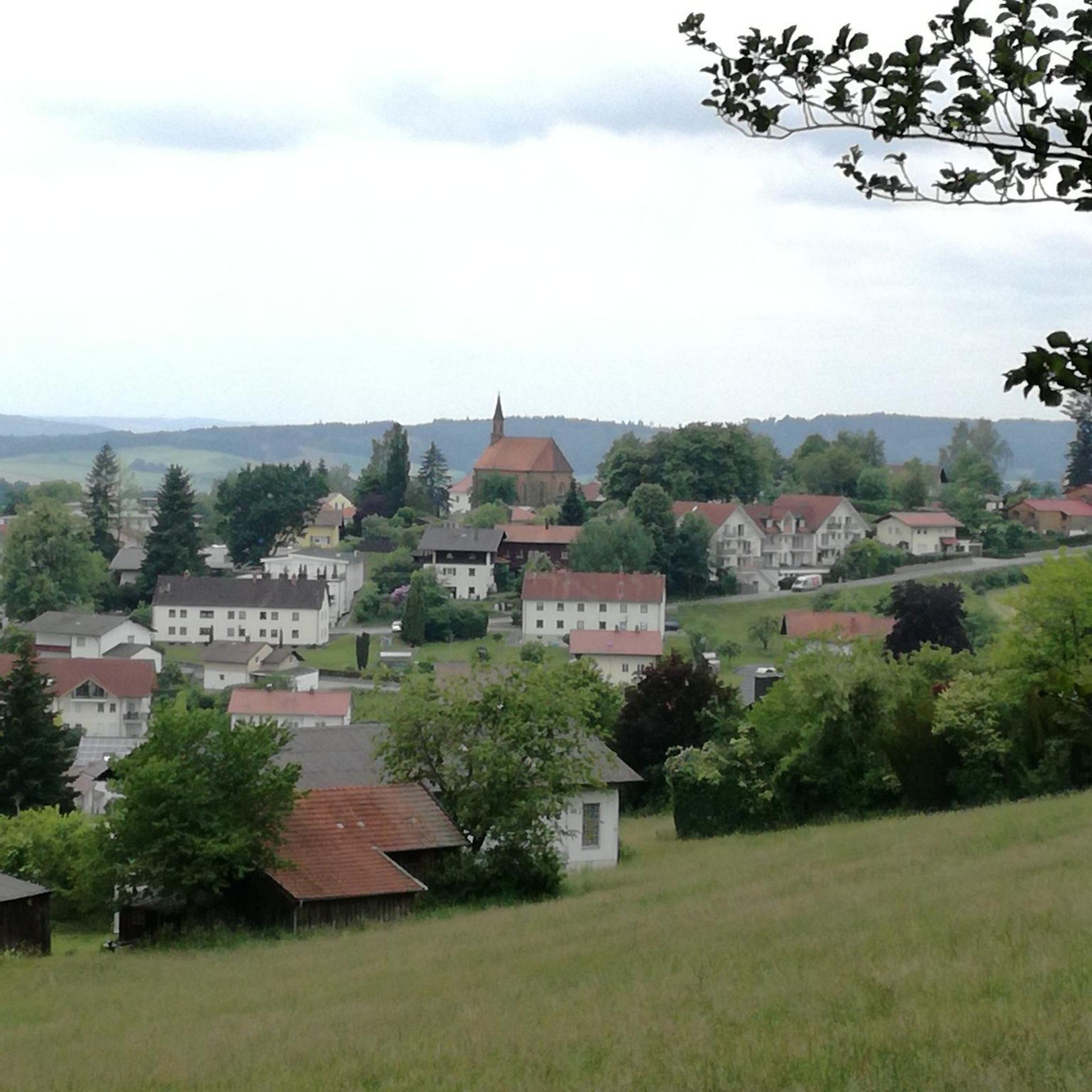
メルツドルフ周辺のハイキングでは、ニーダーラウジッツァー・ハイデルシュトシャフト自然公園内の多様な自然景観を楽しめます。この地域は、起伏のある丘、森、草原が特徴で、シュラーデンラント低地エリアは未舗装のトレイルを含む変化に富んだ地形を提供しています。ハイデヘーエにあるハイデベルクタワーからはパノラマビューが楽しめ、ハイカーにとって注目すべき目的地となっています。トレイルは、しばしばのどかな緑の森や野生の草原を横切ります。
メルツドルフ周辺のベストハイキングトレイル
- 最も人気のあるハイキングルートは、メルツドルフ発のハイデヘーエ・ループにあるハイデベルクタワーで、距離7.6マイル(12.2 km)、所要時間3時間12分です。このルートは森や開けた景観を抜けていきます。
- 地元のハイカーに人気のもう一つのルートは、メルツドルフ発の草地~グリューナー湖ループで、距離7.6マイル(12.3 km)の適度な難易度のトレイルです。このルートは、変化に富んだ森と開けた地形が特徴です。
- 地元のハイカーに愛されているのは、メルツドルフ発のハイキング・ループで、距離4.0マイル(6.5 km)、所要時間約1時間59分で、変化に富んだ地形を巡ります。
- メルツドルフ周辺のハイキングは、ニーダーラウジッツァー・ハイデルシュトシャフト自然公園の多様な地形、すなわち森、草原、ハイデヘーエの緩やかな丘によって特徴づけられます。このネットワークは、簡単なものから中程度、そしてより挑戦的なルートまでオプションを提供しています。
- メルツドルフのルートは、1100件以上のレビューから平均4.6つ星という高い評価をkomootコミュニティから受けています。3900人以上のハイカーがkomootを利用して、メルツドルフの多様な地形を探索しました。
最終更新日: 9月 29, 2026
6
ハイカー
12.2km
03:12
110m
110m
中程度のハイキング. ある程度のフィットネスレベルが必要です。 進みやすいルートです。あらゆるスキルレベルに適しています。
5.0
(3)
11
ハイカー
6.52km
01:40
20m
20m
初級者向けハイキング. あらゆるフィットネスレベルに適しています。 進みやすいルートです。あらゆるスキルレベルに適しています。

2
ハイカー
18.3km
04:52
190m
190m
中程度のハイキング. ある程度のフィットネスレベルが必要です。 進みやすいルートです。あらゆるスキルレベルに適しています。
4.5
(2)
5
ハイカー
6.36km
01:42
70m
70m
初級者向けハイキング. あらゆるフィットネスレベルに適しています。 進みやすいルートです。あらゆるスキルレベルに適しています。
5.0
(3)
4
ハイカー
7.14km
01:54
80m
80m
初級者向けハイキング. あらゆるフィットネスレベルに適しています。 進みやすいルートです。あらゆるスキルレベルに適しています。
さらに多くのルートや他のユーザーのおすすめ情報を確認できます。
すでにアカウントをお持ちですか?
おすすめのツアーは他のkomootユーザーが実際に経験した何千ものアクティビティに基づいています。
無料アカウントで今日から始めよう
次の冒険が待っています。
コミュニティからのヒント


It's always worth it! But the tower is currently closed due to construction work. It's not open to climb.
0
0

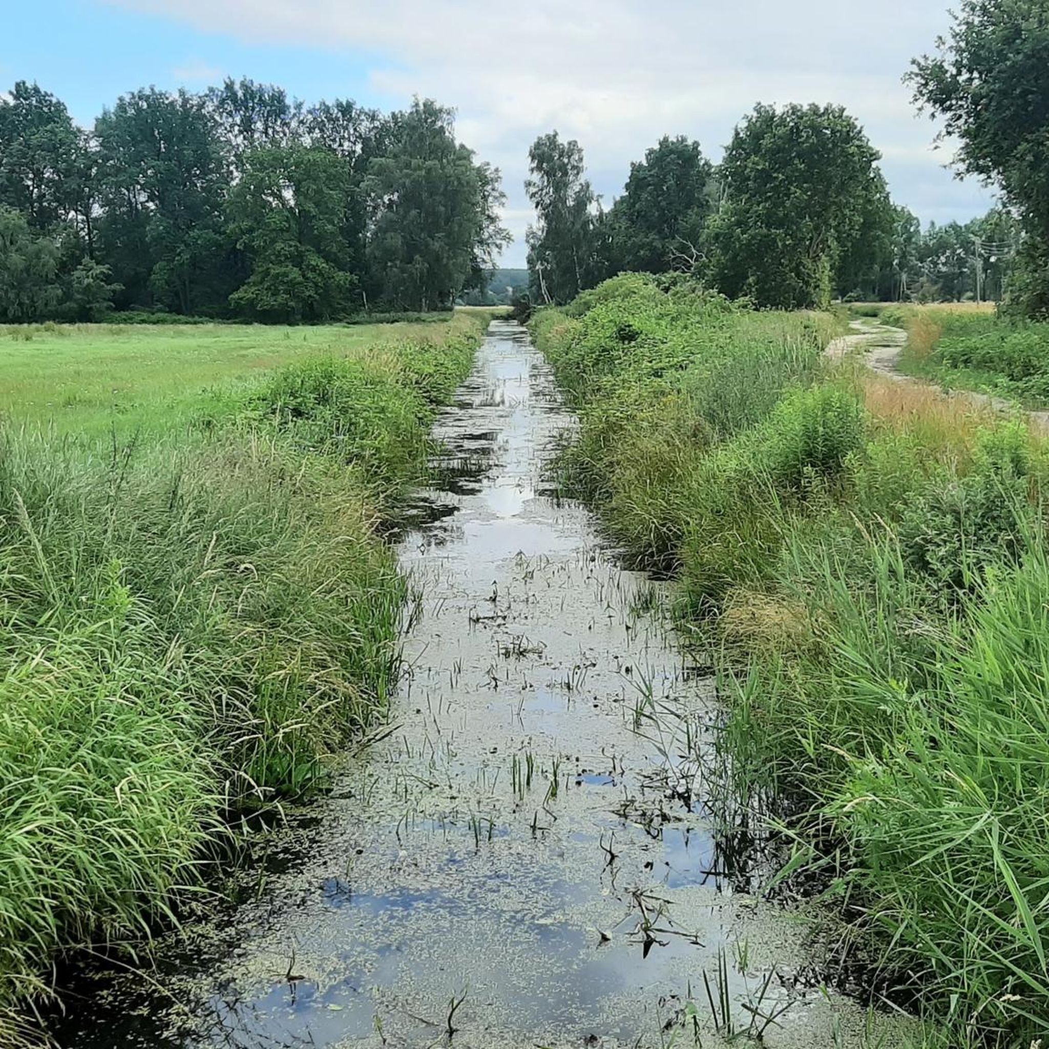
The Green Lake in Merzdorf. Information: Due to the growing overburden, clay extraction became increasingly difficult in the late 1950s, so the clay pit was flooded in the late 1960s, and the production of concrete elements began there simultaneously. The remaining body of water has a greenish hue and is therefore also known as the Green Lake. The "Agnes" and "Flora" clay pits were opened south of the village in 1892.
1
0

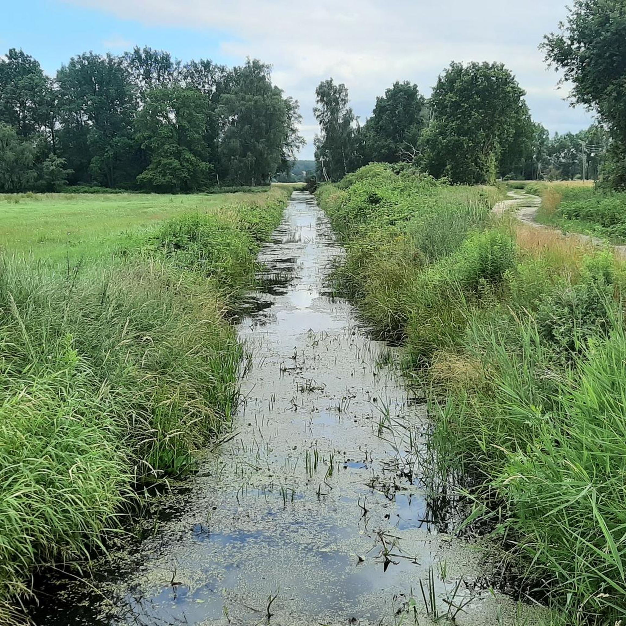
It's funny how people are arguing today especially about the grammatical gender for the place name of the Waldsee, whether it's called the or the old shaft, instead of primarily emphasizing the beauty and relaxation of these remains of the "Helenen's shaft" ( :-). Although August Han actually wanted to find coal in 1855 and then came across clay, clay was finally mined and bricks made from it for more than 100 years.
0
0
The historic Strauch degree measurement column was part of the degree measurement and triangulation in the Kingdom of Saxony and thus part of land surveying. The Strauch station from 1866 still functioned as the center of the surveying station until 1959. The Nagelsche pillar is today a technical monument on Heideberg.
0
0
A historic site after the extensive cession of land from Saxony to Prussia in 1815 following the resolutions of the Congress of Vienna. Contrary to original plans and expectations, Prussia did not receive all of Saxony, but only the northern part, which was partly added to the new province of Saxony. On the other hand, it achieved considerable territorial growth in the west, which is rich in raw materials.
0
0

メルツドルフでのの人気観光スポット

komootモバイルアプリでインスピレーションを得よう


さらに探索
他の地域の最高のハイキングを見てみましょう。
