グレーデンのおすすめウォーキング&ハイキングルート
4.6
(1767)
5,935
ハイカー
39
ハイキング
グレーデン 周辺でおすすめのハイキングやウォーキングを楽しんでいただけるように、このエリアの小径やルートを集めたkomootコレクション全体を見直しました。 以下で各ルートの詳細をご覧になり、グレーデン周辺の大自然を満喫する際の参考にしてください。
最終更新日: 10月 26, 2026
4.5
(18)
58
ハイカー
5.52km
01:31
90m
90m
初級者向けハイキング. 歩きやすい道です。
4.7
(6)
26
ハイカー
7.78km
02:08
120m
120m
中程度のハイキング. ある程度のフィットネスレベルが必要です。 歩きやすい道です。

4.6
(8)
29
ハイカー
5.90km
01:37
90m
90m
初級者向けハイキング. 歩きやすい道です。
5.0
(2)
7
ハイカー
9.68km
02:37
130m
130m
中程度のハイキング. ある程度のフィットネスレベルが必要です。 歩きやすい道です。
5.0
(1)
6
ハイカー
7.93km
02:10
120m
120m
中程度のハイキング. ある程度のフィットネスレベルが必要です。 歩きやすい道です。
さらに多くのルートや他のユーザーのおすすめ情報を確認できます。
すでにアカウントをお持ちですか?
おすすめのツアーは他のkomootユーザーが実際に経験した何千ものアクティビティに基づいています。
無料アカウントで今日から始めよう
次の冒険が待っています。
コミュニティからのヒント

ブランデンブルク州で最も高い自然の地点に立つ塔は、木材の損傷のため解体されなければなりませんでした。再建または修復の完了は現在も未定です(https://www.lr-online.de/lausitz/elsterwerda/heidebergturm-bei-groeden-aussichtsturm-zurueckgebaut-wann-er-wieder-begehbar-ist-78771524.html)。
0
0

It's always worth it! But the tower is currently closed due to construction work. It's not open to climb.
0
0


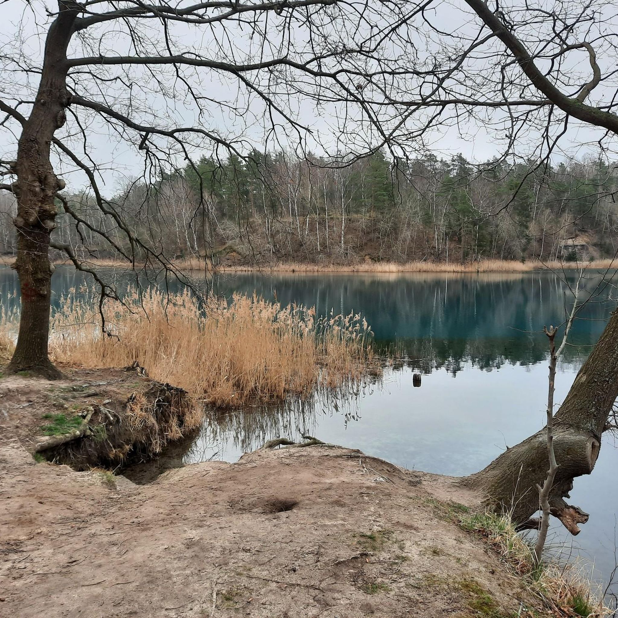
The Green Lake in Merzdorf. Information: Due to the growing overburden, clay extraction became increasingly difficult in the late 1950s, so the clay pit was flooded in the late 1960s, and the production of concrete elements began there simultaneously. The remaining body of water has a greenish hue and is therefore also known as the Green Lake. The "Agnes" and "Flora" clay pits were opened south of the village in 1892.
1
0

Very fun short trail. Because of the many roots, you should be able to control your bike.
0
0

now a very rough and challenging trail with lots of roots and sand! 🪵
0
0

The historic Strauch degree measurement column was part of the degree measurement and triangulation in the Kingdom of Saxony and thus part of land surveying. The Strauch station from 1866 still functioned as the center of the surveying station until 1959. The Nagelsche pillar is today a technical monument on Heideberg.
0
0
グレーデンでのの人気観光スポット

komootモバイルアプリでインスピレーションを得よう


さらに探索
他の地域の最高のハイキングを見てみましょう。
