ルート

プランナー

機能

アップデート

App

ログインまたはサインアップ

アプリを入手

ログインまたはサインアップ

ルート
ハイキング
ドイツ
ノルトラインヴェストファーレン州
Hochsauerlandkreis

マルスベルク

マルスベルクのおすすめウォーキング&ハイキングルート

4.6

(2610)

8,992

ハイカー

497

ハイキング

マルスベルク 周辺でおすすめのハイキングやウォーキングを楽しんでいただけるように、このエリアの小径やルートを集めたkomootコレクション全体を見直しました。 以下で各ルートの詳細をご覧になり、マルスベルク周辺の大自然を満喫する際の参考にしてください。

最終更新日: 7月 9, 2026

4.8

(83)

298

ハイカー

#1.

Naturerlebnis Wald in Marsberg-Meerhof

4.36km

01:10

50m

50m

初級者向けハイキング. あらゆるフィットネスレベルに適しています。 進みやすいルートです。あらゆるスキルレベルに適しています。

デバイスでナビ

スマートフォンに送信

保存

初級

初級者向けハイキング. あらゆるフィットネスレベルに適しています。 進みやすいルートです。あらゆるスキルレベルに適しています。

初級
guide_signup
私たちがkomootモバイルアプリで道を示します
無料の komoot アカウントがあれば、無限のアウトドアコースを簡単に見つけてカスタマイズし、ナビで案内できます。

無料新規登録

初級者向けハイキング. あらゆるフィットネスレベルに適しています。 進みやすいルートです。あらゆるスキルレベルに適しています。

初級

初級者向けハイキング. あらゆるフィットネスレベルに適しています。 進みやすいルートです。あらゆるスキルレベルに適しています。

初級

中程度のハイキング. ある程度のフィットネスレベルが必要です。 進みやすいルートです。あらゆるスキルレベルに適しています。

中程度
無料新規登録すると、マルスベルクでのでのハイキングをさらに493件ご覧いただけます。

さらに多くのルートや他のユーザーのおすすめ情報を確認できます。

無料新規登録

すでにアカウントをお持ちですか?

おすすめのツアーは他のkomootユーザーが実際に経験した何千ものアクティビティに基づいています。

無料アカウントで今日から始めよう

次の冒険が待っています。

ログインまたは登録

マルスベルク周辺で人気

11ヘッセントレイル-田舎をまたがる

ドイツのザウアーランド森のルートの景色と発見

ナショナルランドスケープ北西部

ダイメルラートウェグサイクリングルートでの長い週末

Mit der Familie auf Tour – Wanderspaß im Sauerland

Zauberhaft mystisch - Die Sauerland-Waldroute

マルスベルクでのサイクリング

マルスベルクのMTBトレイル

マルスベルクのロードバイクルート

マルスベルクのランニングコース

マルスベルクでのの他の冒険

11ヘッセントレイル-田舎をまたがる

ハイキングのコレクション によって

Anette

コミュニティからのヒント

Nordlipper
5月 1, 2026, Diemelsee Nature Reserve

非常に美しく、一部は非常に自然のままです。

Google翻訳による翻訳

0

0

とても美しい景色。

Google翻訳による翻訳

0

0

A beautiful site with information about mining and geology in the Diemel Valley. Ideal for a break while hiking or cycling on the Diemel Cycle Path. A visit is especially worthwhile during the Giershagen Charcoal Burners' Week.

Google翻訳による翻訳

1

0

What's interesting about the Itter, the Diemel's tributary, is that it is 3.1 km longer up to its confluence with Lake Diemel than the Diemel itself up to its inflow into the reservoir (19.3 km compared to 16.2 km) and also has a 9.33 km² larger catchment area (48,294 km² compared to 38,964 km²). Therefore, strictly speaking, the Itter, historically a tributary, should be considered at least an equal source of the Diemel. Source: https://de.wikipedia.org/wiki/Itter_(Diemel)

Google翻訳による翻訳

1

0

The 18.7-hectare "Diemelsee" nature reserve was designated at the tributary of the Itter River at Diemelsee. It exhibits the characteristics of a natural river valley, as the constant alternation of floods and dry spells provides ideal living and breeding conditions, especially for waterfowl. Coots and mallards are regularly found here, occasionally moorhens and tufted ducks, and in winter, the impressive goosander. The Diemelsee nature reserve is particularly important as a breeding ground for the great crested grebe. In 2007, there were eleven breeding pairs here, the number of which fluctuates depending on the water level. The common sandpiper, a wading bird, is one of the rarest and only occasionally seen breeding birds in the Diemelsee Nature Park. This starling-sized bird can be recognized by its pebble-colored upper and white undersides, as well as its characteristic white "shoulders." Its tail constantly bobs. Its habitat is near-natural rivers, where it breeds on sparsely vegetated gravel banks. Ornithologists have repeatedly identified lesser spotted woodpecker territories in the willow thickets. A small grey heron colony outside the protected area enriches the birdlife of Lake Diemelsee. Kingfishers, black kites, and even the rare black stork feed here. Ospreys can regularly be seen during migration in spring and autumn. Source: https://www.sauerland.com/de/neusta-pois/naturschutzgebiet-diemelsee

Google翻訳による翻訳

1

0

A beautiful, large meadow borders the northern shore of the lake. In the middle are the houses Kotthausen 1 (with campsite) and 2.

Google翻訳による翻訳

1

0

Look! Everything's set up for us. Changing stage sets in or of nature 🌎

Google翻訳による翻訳

0

0

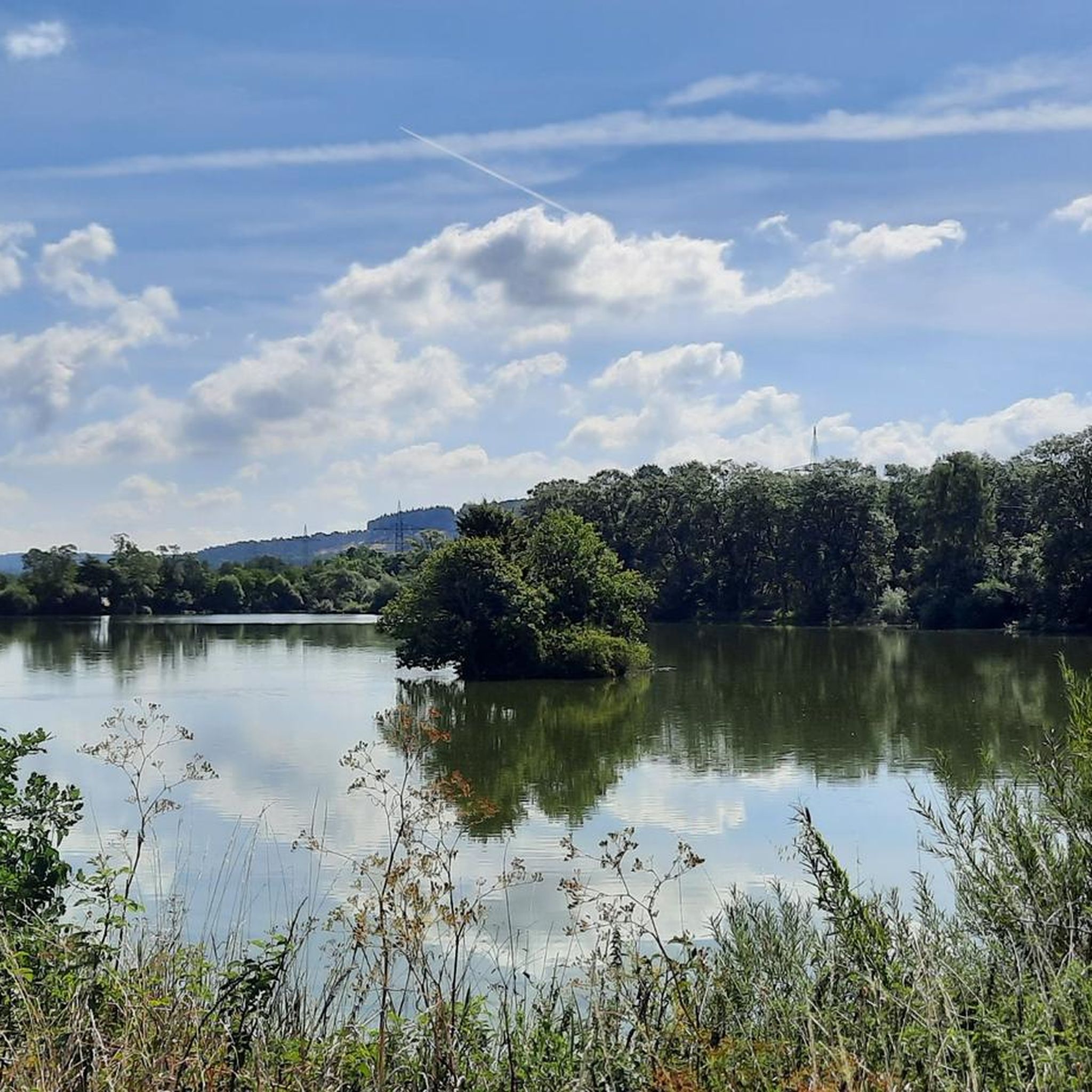
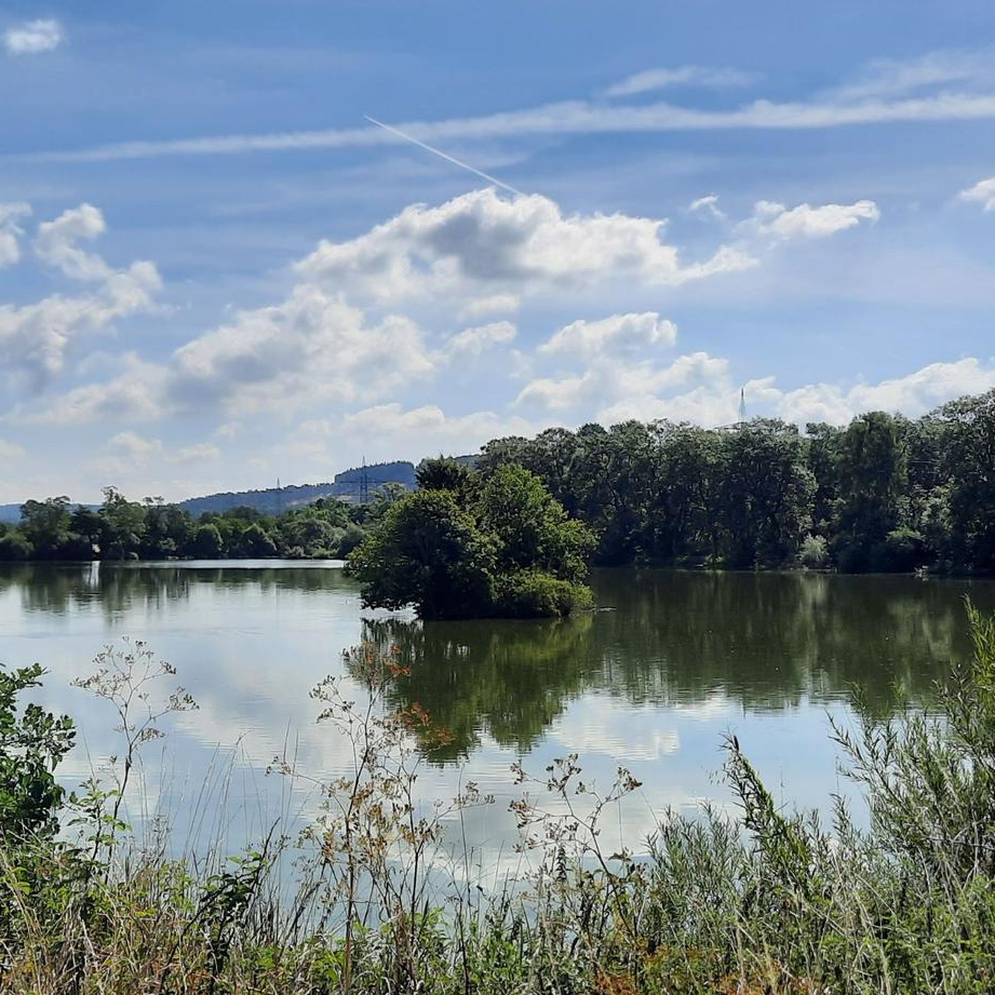
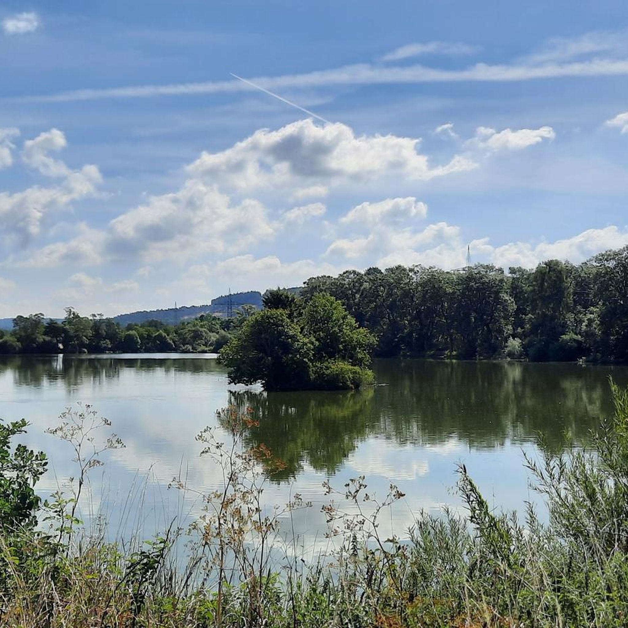
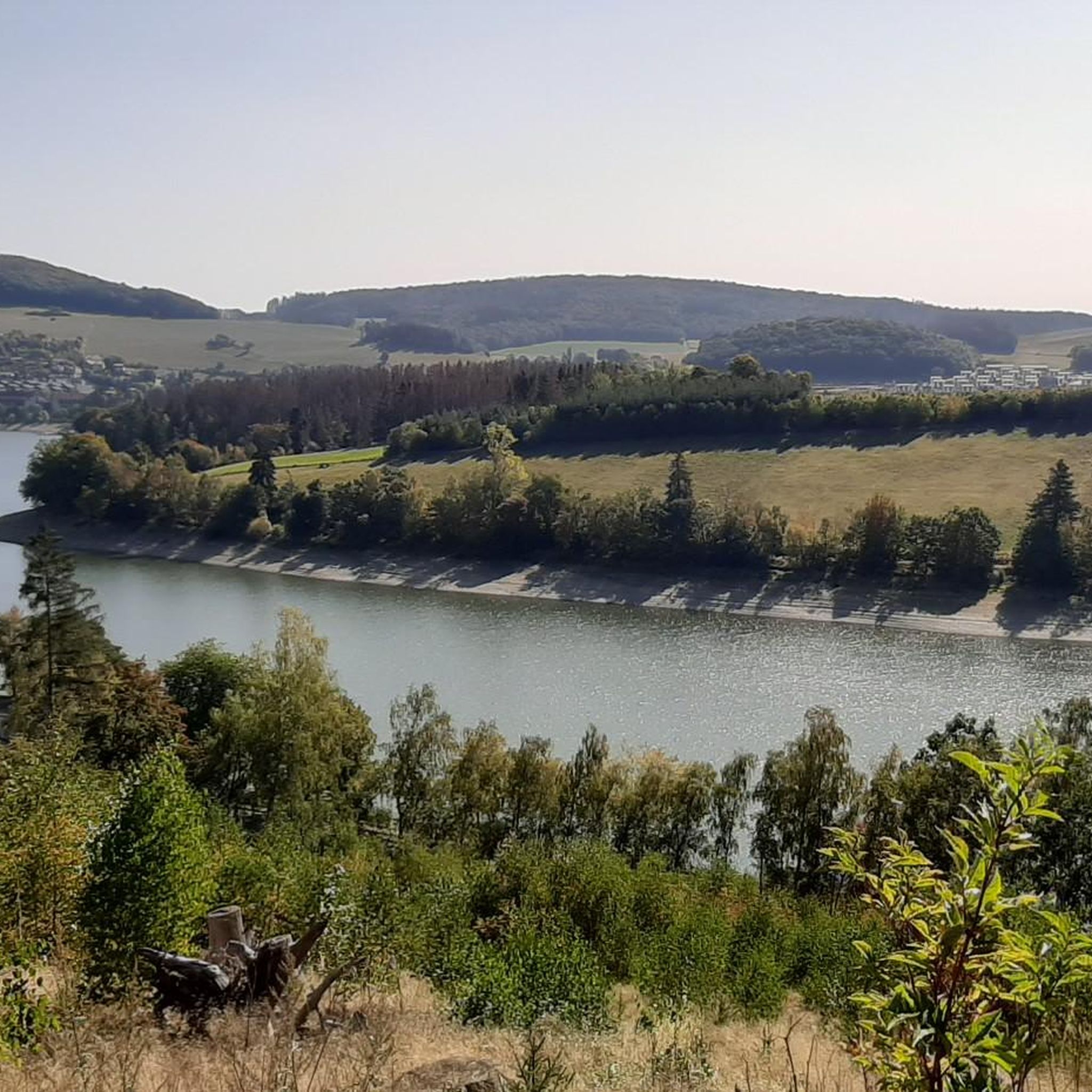
This view awaits you on the way from Itter towards Messinghausen (NRW).

Google翻訳による翻訳

0

0

マルスベルクでのの人気ルート

マルスベルクでのサイクリング

マルスベルクでのの人気観光スポット

Places to see

Store rating

komootモバイルアプリでインスピレーションを得よう

無料のkomootアカウントがあれば、無限のアウトドアコースを簡単に見つけてカスタマイズし、ナビで案内できます。

または

今すぐkomootに参加しよう

Store rating

さらに探索

他の地域の最高のハイキングを見てみましょう。

シュマレンベルクヴィンターベルクエスローエメーデバッハズンダーン(ザウアーランド)オルスベルクブリーロンメシェデArnsbergベストヴィヒアルタシュテンベルクStadtwald Neheim / LuerwaldハレンベルクNaturpark DiemelseeゾルペラペレNaturpark Arnsberger WaldRothaarkamm Am GrenzwegWaldreservat SchanzeNsg Eselsbruch / Harlebachsystem

近くのアドベンチャーガイド

ディーメルゼーでやるべきこと

background

新しいピークを征服する準備をしよう

無料でサインアップ

探検する
ルートルートプランナー機能ハイキングMTBトレイルロードバイクルートバイクパッキングサイトマップ
アプリをダウンロード
SNSでフォローする

© komoot GmbH

プライバシーポリシー