アドゥー周辺のおすすめバス停からハイキング&ウォーキング
4.6
(2350)
23,790
ハイカー
51
ハイキング
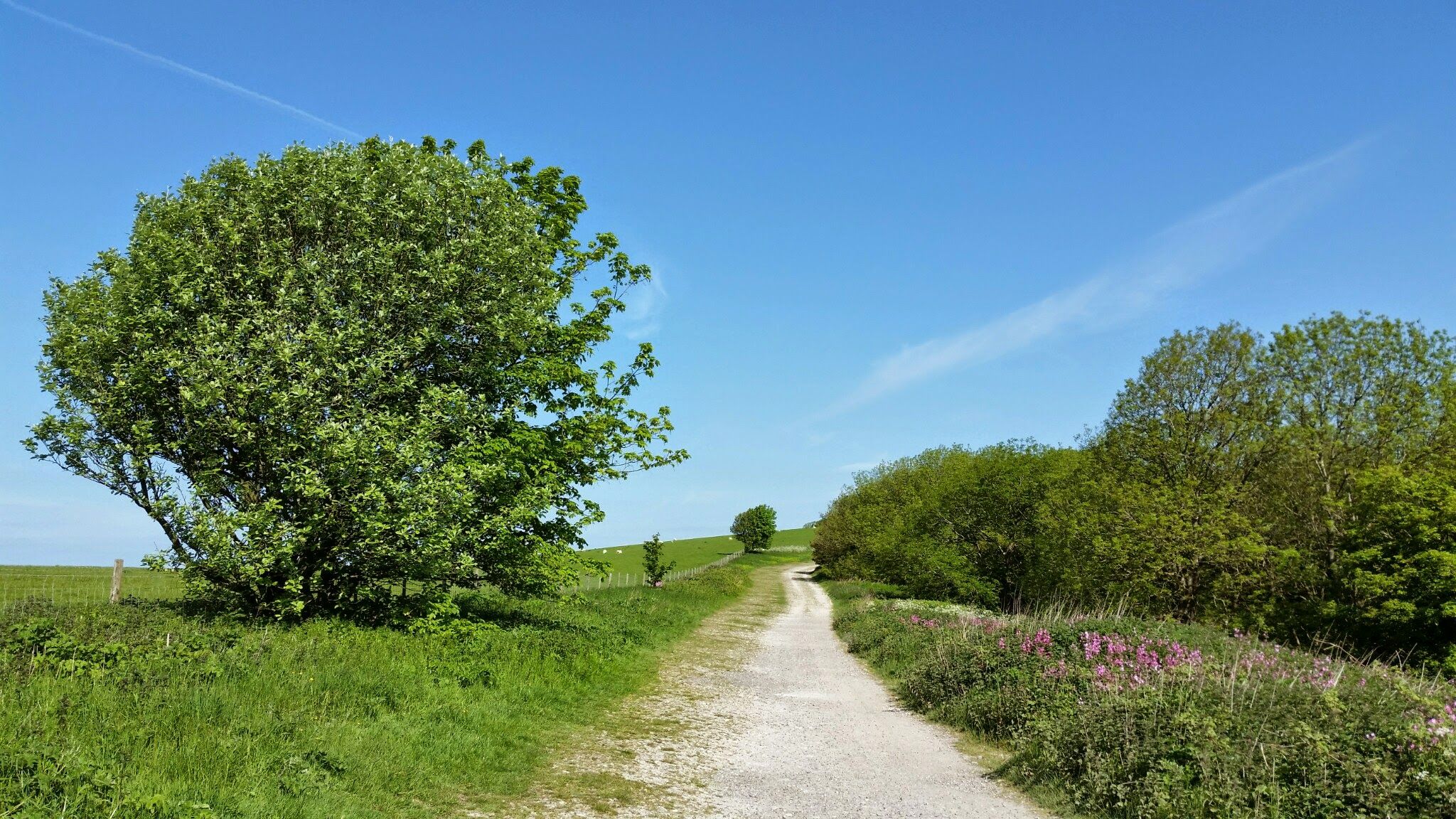
バス停周辺のアドゥールでのハイキングコースは、サウスダウンズ国立公園の白亜の丘、穏やかなアドゥール川の谷、海岸平野を特徴とする多様な風景へのアクセスを提供します。この地域は、広大な眺めを提供する独特の白亜の丘陵地帯、古い森林、ヘースランドが特徴です。ハイカーは、川沿いの小道、河口、そして谷を見渡すパノラマビューを楽しめる高台を探索できます。
アドゥール周辺の最高のバス停ハイキングコース
- 最も人気のあるバス停ハイキングコースは、サウスダウンズの丘の眺め – アドゥールからのサウスダウンズ・クライム・ループです。このコースは4.9マイル(7.9km)で、所要時間は2時間16分です。この中程度の難易度のコースからは、サウスダウンズの丘の眺めが楽しめます。
- 地元ハイカーに人気のもう一つのコースは、ショアハム・トール橋 – アドゥールからのショアハム空港の眺めループです。これは3.8マイル(6.1km)の簡単なコースです。このトレイルには、歴史的なショアハム・トール橋とショアハム空港の眺めがあります。
- 地元ハイカーに愛されているのは、サウスダウンズの丘の眺め – アドゥールからのワージングとランシングの眺めループです。この3.3マイル(5.4km)のトレイルはサウスダウンズを通り抜け、所要時間は約1時間31分です。
- アドゥール周辺のハイキングは、白亜の丘陵地帯、川の谷、海岸沿いの小道が特徴です。このネットワークは、簡単な川沿いの散歩から、サウスダウンズへのより挑戦的な登りまで、さまざまなレベルのオプションを提供しています。
- アドゥールのルートは、komootコミュニティから高く評価されており、1,900件以上のレビューで平均4.6つ星を獲得しています。21,000人以上のハイカーがkomootを利用して、アドゥールの多様な地形を探索しています。
最終更新日: 9月 7, 2026
4.6
(14)
49
ハイカー
7.82km
02:15
190m
190m
中程度のハイキング. ある程度のフィットネスレベルが必要です。 進みやすいルートです。あらゆるスキルレベルに適しています。
5.0
(7)
44
ハイカー
18.3km
05:05
330m
330m
難しいハイキング. 標準以上のフィットネスレベルが必要です。 進みやすいルートです。あらゆるスキルレベルに適しています。

14
ハイカー
9.16km
02:19
20m
20m
中程度のハイキング. ある程度のフィットネスレベルが必要です。 進みやすいルートです。あらゆるスキルレベルに適しています。
5.0
(1)
45
ハイカー
11.0km
02:46
10m
10m
中程度のハイキング. ある程度のフィットネスレベルが必要です。 進みやすいルートです。あらゆるスキルレベルに適しています。
5.0
(5)
49
ハイカー
15.5km
03:56
40m
40m
中程度のハイキング. ある程度のフィットネスレベルが必要です。 進みやすいルートです。あらゆるスキルレベルに適しています。
さらに多くのルートや他のユーザーのおすすめ情報を確認できます。
すでにアカウントをお持ちですか?
おすすめのツアーは他のkomootユーザーが実際に経験した何千ものアクティビティに基づいています。


コミュニティからのヒント

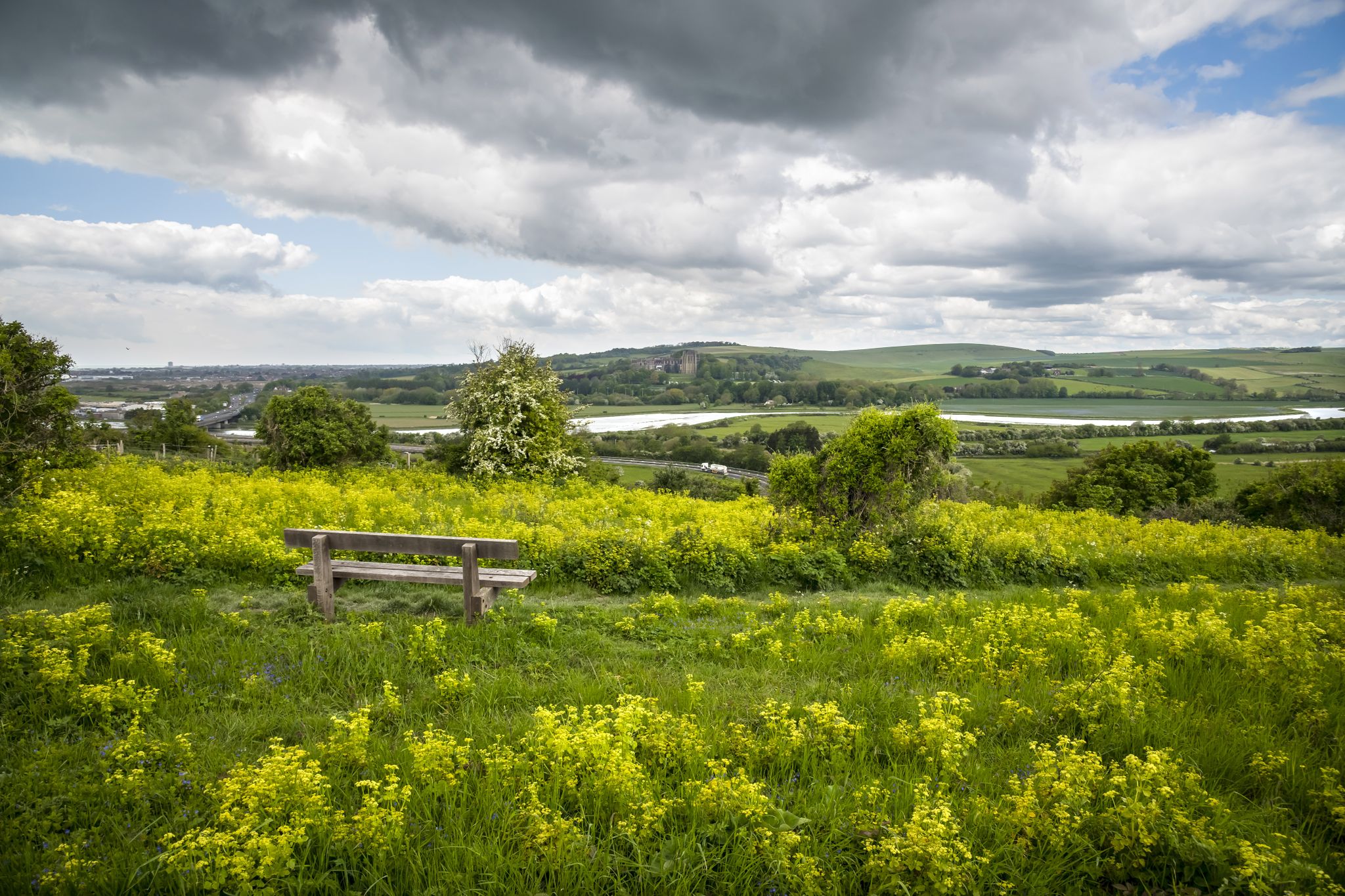
アダー川の谷は景観が非常に美しい地域です!
1
0
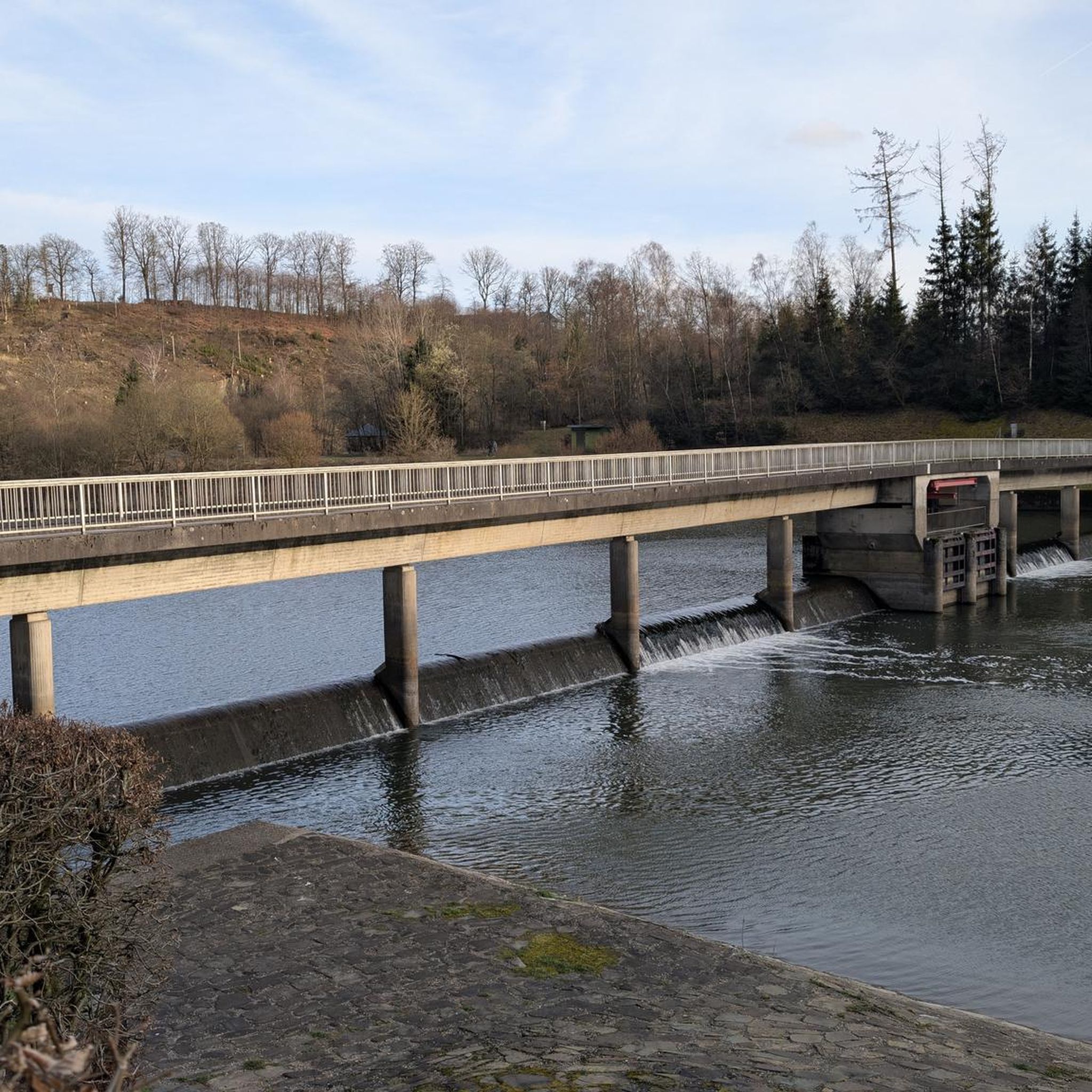
川を渡る古い木造橋で、現在は自転車と歩行者のみが利用しています。川の西側には、大きなランシング・カレッジが見えます。
1
0

NCI Shoreham is situated in a building originally built during WW2. The building hosted a coastal artillery searclight (CASL) to support the six-inch guns that were mounted on Shoreham Fort. The searchlight was the second of a pair, with the other one located on the western side of Shoreham Fort. During the construction of the new breakwaters to Shoreham Harbour in the 1950s, the building was made use of to host the fuse box for the new lights on the west side of the harbour. The building then briefly appeared in a 1950s film called ‘Battle of the V1’. Further infomration on the history of the building can be found on Shoreham Fort’s website In 2007, the NCI was exploring options to open a station at Shoreham. The derlict building was identified and with great assistance from Shoreahm Port Authority, works began to convert it into a lookout station. A committee of Shoreham volunteers was formed in January 2008, and whilst works to the building were occuring, watches occured out of the back of a 4×4 next to Carats Café, Southwick.
0
0


The remains of this Norman castle are perched on a high natural knoll overlooking the River Adur, defending a gap in the South Downs. Built soon after the Norman Conquest to help protect William I’s newly won territories, the castle was the Sussex seat of the de Braose family.
0
0


This traffic-free section of NCN route 2 runs alongside two bodies of water - the sea and Widewater Lagoon. It's an area of brackish water landlocked by a man-made shingle bank. Look out for herons, swans, geese, cormorants, kingfishers, gulls and many other wildfowl. The path can get quite busy in the summer months so watch out for pedestrians and joggers. There are toilets and a water tap at the eastern end of the lagoon, and also a small kiosk selling drinks and ice creams.
1
0
よくある質問
Adurにはバス停からアクセスしやすいハイキングコースが40以上ありますか?
Adurにはバス停からアクセスしやすいハイキングコースが40以上あります。これらのコースは、初心者、中級者、そして数少ない上級者向けのオプションがあり、様々な体力レベルに対応しています。
Adurのバスアクセス可能なハイキングでは、どのような景観が期待できますか?
Adurのバスアクセス可能なハイキングでは、多様な景観が楽しめます。アダー川沿いの静かな川沿いの小道、サウスダウンズ国立公園の起伏のあるチョークの丘陵地帯からの広大な眺め、または海岸平野沿いの穏やかな散歩を楽しむことができます。多くのルートには、チョークのダウンランド、古代の森、アダー川河口のような重要な生息地があります。
Adurには、家族向けの簡単なバス停ハイキングはありますか?
はい、Adurにはバスでアクセスできる、家族向けの簡単なルートがいくつかあります。例えば、ショアハム・トール橋 – Adurからのショアハム空港の眺めループは、高低差が少なく、リラックスした外出に最適な6kmの簡単なウォーキングです。ミルヒル自然保護区には、移動が困難な訪問者にも適した簡単なアクセスルートもあります。
Adurで、バスでアクセス可能な周回ルートを見つけることはできますか?
Adurのバスアクセス可能なルートの多くは周回ルートになっており、同じバス停からハイキングを開始して終了することができます。例としては、中程度の挑戦を提供するサウスダウンズの丘の眺め – Adurからのサウスダウンズ登りループや、より簡単なサウスダウンズの丘の眺め – WorthingとLancingの眺めループ(Adur発)があります。
これらのバス停トレイル沿いには、どのような興味深いランドマークやアトラクションがありますか?
いくつかのバスアクセス可能なトレイルは、著名なランドマークや自然の特徴を通過します。ショアハム・トール橋、ダウンズリンク – アダー川沿いとランシングカレッジの眺めからのパノラマビュー、または古代の聖ニコラス教会などを目にすることができます。ミルヒル自然保護区は、チョークの草原と蝶の生息地でも有名です。
経験豊富なハイカー向けの、挑戦的なバスアクセス可能なハイキングはありますか?
経験豊富なハイカー向けの挑戦的なルートとしては、ラングメド記念碑 – Adurからのチャンクトンベリーリングの丘陵地帯ループがあります。これは、標高差が大きく、歴史的なチャンクトンベリーリングの丘陵地帯に至る、難易度の高い18.3kmのルートです。このトレイルは、ダウンズ全体に広がる壮大な眺めを提供します。
Adurでのハイキングについて、他のハイカーが最も楽しんでいる点は何ですか?
komootコミュニティはAdurでのハイキングを高く評価しており、約2,000件の評価から平均4.6つ星を獲得しています。レビューでは、静かな川沿いの道から挑戦的な丘の登りまで、多様な景観と、公共交通機関による優れたアクセス性が頻繁に称賛されており、この地域の自然の美しさを簡単に探索できます。
Adurのバス停からのハイキングは犬連れでも大丈夫ですか?
Adurの多くのトレイルは犬連れに優しいですが、特に公共の歩道や馬車道沿いのトレイルはそうです。Adurの大部分を占めるサウスダウンズ国立公園は、一般的にリードをつけた犬を歓迎しています。自然保護区や家畜がいるエリアでは、特に特定のルートの詳細や現地の標識を必ず確認してください。
Adurのバス停からハイキングに行くのに最適な時期はいつですか?
Adurは一年中ハイキングを楽しめます。春と夏は、ミルヒル自然保護区のようなエリアで野花や蝶を見るのに理想的で、秋には森に美しい紅葉が見られます。チョークのダウンランドの道は、雨天でも一年中ハイキングに適しています。出発前に必ず天気予報を確認してください。
Adurで、より長く中程度の難易度のバスアクセス可能なルートはありますか?
はい、より長く中程度のハイキングを楽しみたい方のために、ブランバー城跡 – Adurからのショアハム・トール橋ループは15.4kmのルートです。このトレイルは、川沿いの景観と歴史的な興味を組み合わせたもので、比較的穏やかな高低差があります。
Adur近郊のサウスダウンズ国立公園について、さらに詳しい情報はどこで見つけられますか?
サウスダウンズ国立公園とそのAdurからのアクセスに関する詳細情報については、サウスダウンズ国立公園の公式ウェブサイトまたはAdur & Worthing Councilsのウェブサイトをご覧ください。これらのリソースは、公園の特徴や地域のアクセスポイントに関する情報を提供しています。詳細情報は、southdowns.gov.ukまたはadur-worthing.gov.ukでご覧いただけます。
アドゥーでのの人気観光スポット

komootモバイルアプリでインスピレーションを得よう


