レープティーンのおすすめツーリングルート
4.4
(4902)
15,302
ライダー
14
ライド
レープティーンでおすすめのサイクリングルートをお探しですか?行きたいルートを簡単に決められるように、このページではレープティーン周辺の人気バイクライドをご紹介します。 ぜひ、お気に入りのルートを見つけてください。
最終更新日: 9月 29, 2026
4.7
(39)
107
ライダー
21.5km
01:21
80m
80m
初級者向けバイクライド. あらゆるフィットネスレベルに適しています。 全般的に舗装された状態です。あらゆるスキルレベルに適しています。
4.7
(10)
14
ライダー
49.5km
02:51
180m
180m
中程度の自転車ライド. ある程度のフィットネスレベルが必要です。 全般的に舗装された状態です。あらゆるスキルレベルに適しています。

5.0
(4)
13
ライダー
23.1km
01:30
120m
120m
初級者向けバイクライド. あらゆるフィットネスレベルに適しています。 全般的に舗装された状態です。あらゆるスキルレベルに適しています。
4.4
(11)
21
ライダー
33.9km
02:11
160m
170m
中程度の自転車ライド. ある程度のフィットネスレベルが必要です。 全般的に舗装された状態です。あらゆるスキルレベルに適しています。
4.0
(4)
6
ライダー
36.7km
02:18
170m
170m
中程度の自転車ライド. ある程度のフィットネスレベルが必要です。 全般的に舗装された状態です。あらゆるスキルレベルに適しています。
さらに多くのルートや他のユーザーのおすすめ情報を確認できます。
すでにアカウントをお持ちですか?
おすすめのツアーは他のkomootユーザーが実際に経験した何千ものアクティビティに基づいています。
無料アカウントで今日から始めよう
次の冒険が待っています。


コミュニティからのヒント

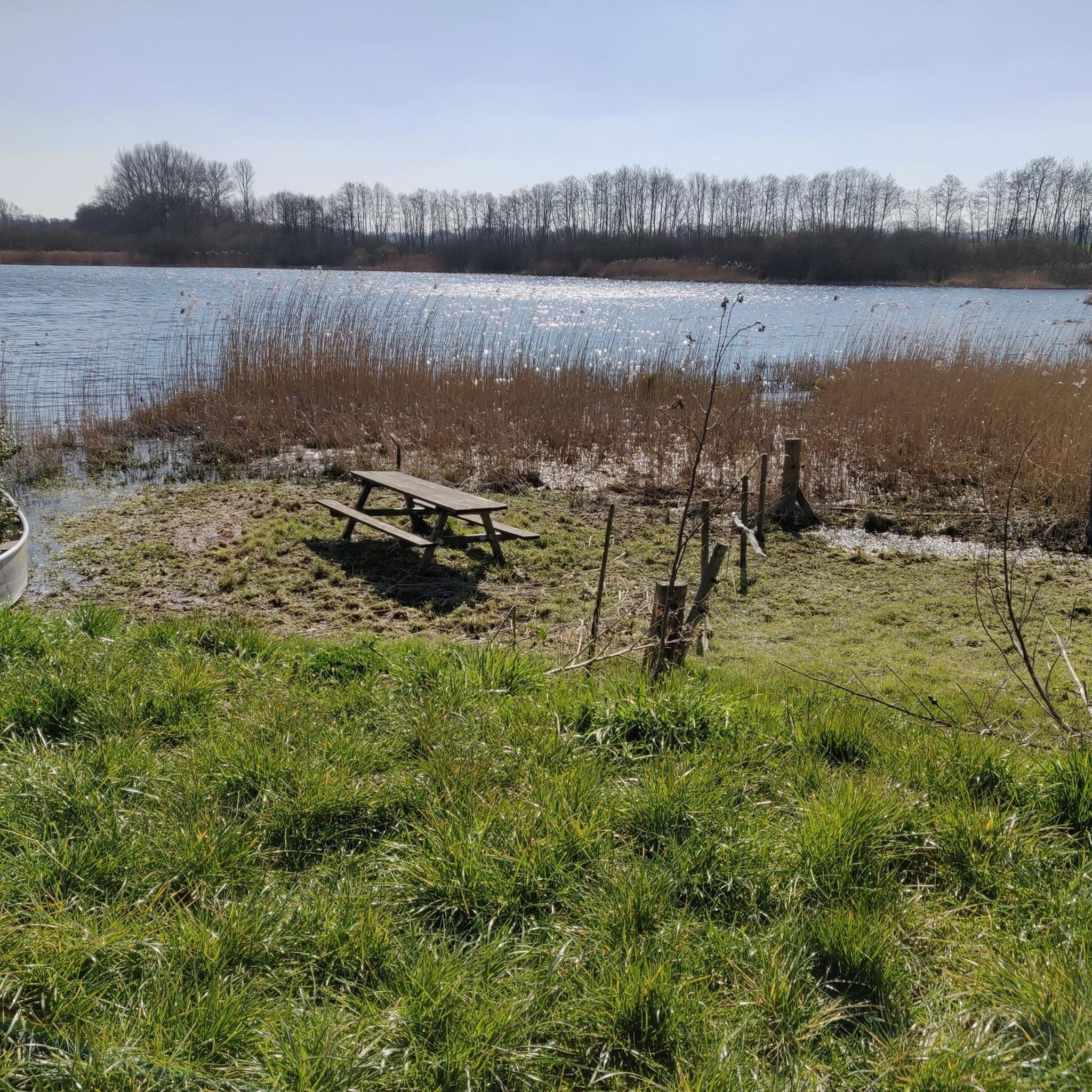
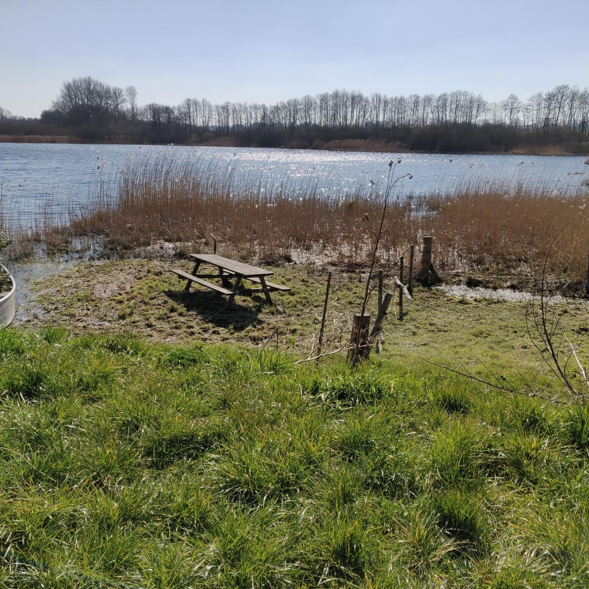
小さな水浴び場です。むしろ半日陰の犬の水浴び場です。ベンチはもうありません(2016年5月現在)。
1
0
アルテ・シュヴェンティネは、元々は名前の由来となったシュヴェンティネであった可能性があります。おそらく17世紀に地図作成上の誤りによって川の名前が入れ替わったのでしょう。現在、ボルンヘーフェトからポストゼーに至る経路でいくつかの湖を繋いでおり、かつてはザクセン人とスラブ人の間の重要な境界線の一部でした。
1
0

Lake Schmalensee is located west of the town of Schmalensee and borders the Holstein Switzerland Nature Park. It covers approximately 90 hectares and is up to 7.5 meters deep. It is part of the Bornhöved Lake Chain, which consists of six lakes and is also part of the Wankendorf Lake District. Lake Bornhöved is located south of Lake Schmalensee, and in the immediate vicinity; the two are connected by a 100-meter-long branch canal. There is a swimming area on the southeastern shore of the lake.
17
0
The Schmalensee near Plön has a maximum depth of 7.5 meters and an area of approximately 90 hectares. It is part of the Bornhöved chain of lakes and is located west of the town of Schmalensee. The average depth of the lake is 4 meters.
3
0


The entrance is on Einfelder Straße on the route between Großharrie and Einfeld. The route runs along the Dosenbek River. On one side is the moor, and on the other, meadows and fields. From the path that runs around the outside of the moor, several paths lead into the moor or into the Wattenbek woods. In bad, especially rainy, weather, this path can sometimes be flooded or very muddy.
0
0

Eat delicious food and drink beer
0
0

The path leads directly along the shore of the large Plöner See
2
0
レープティーンでのの人気観光スポット

komootモバイルアプリでインスピレーションを得よう


さらに探索
他の地域の最高のサイクリングルートを見てみましょう。
