リメリックのおすすめウォーキング&ハイキングルート
4.4
(539)
3,486
ハイカー
112
ハイキング
リメリックでのハイキングに出かけて、ミュンスターのこのエリアを探索してみませんか?このガイドでご紹介するのは、komootがリメリックでのハイキング・ウォーキングルートのコレクション全体を評価して選び抜いた、このエリアの人気ハイキングルートです。あなたに合った でのハイキングを見つけるには、他のユーザーがアップロードした役立つ情報や写真を閲覧し、各ルートに関するみんなの意見やコメントを参考にしましょう。
最終更新日: 11月 5, 2026
4.8
(28)
148
ハイカー
3.73km
01:02
70m
70m

3.7
(9)
54
ハイカー
5.18km
01:20
20m
20m
4.2
(6)
23
ハイカー
14.0km
03:56
290m
290m
5.0
(4)
36
ハイカー
10.4km
03:08
330m
330m
中程度のハイキング. ある程度のフィットネスレベルが必要です。 歩きやすい道です。
5.0
(4)
25
ハイカー
6.08km
01:41
100m
100m
5.0
(4)
14
ハイカー
10.1km
03:22
450m
450m
中程度のハイキング. ある程度のフィットネスレベルが必要です。 歩きやすい道です。
3.8
(4)
33
ハイカー
5.19km
01:30
130m
130m
初級者向けハイキング. 歩きやすい道です。
5.0
(1)
13
ハイカー
3.77km
01:04
90m
80m
さらに多くのルートや他のユーザーのおすすめ情報を確認できます。
すでにアカウントをお持ちですか?
おすすめのツアーは他のkomootユーザーが実際に経験した何千ものアクティビティに基づいています。
無料アカウントで今日から始めよう
次の冒険が待っています。
リメリック周辺で人気

Cappamore-Kilmallockでのハイキング

Newcastle Westでのハイキング

Adare-Rathkealeでのハイキング

Limerickでのハイキング
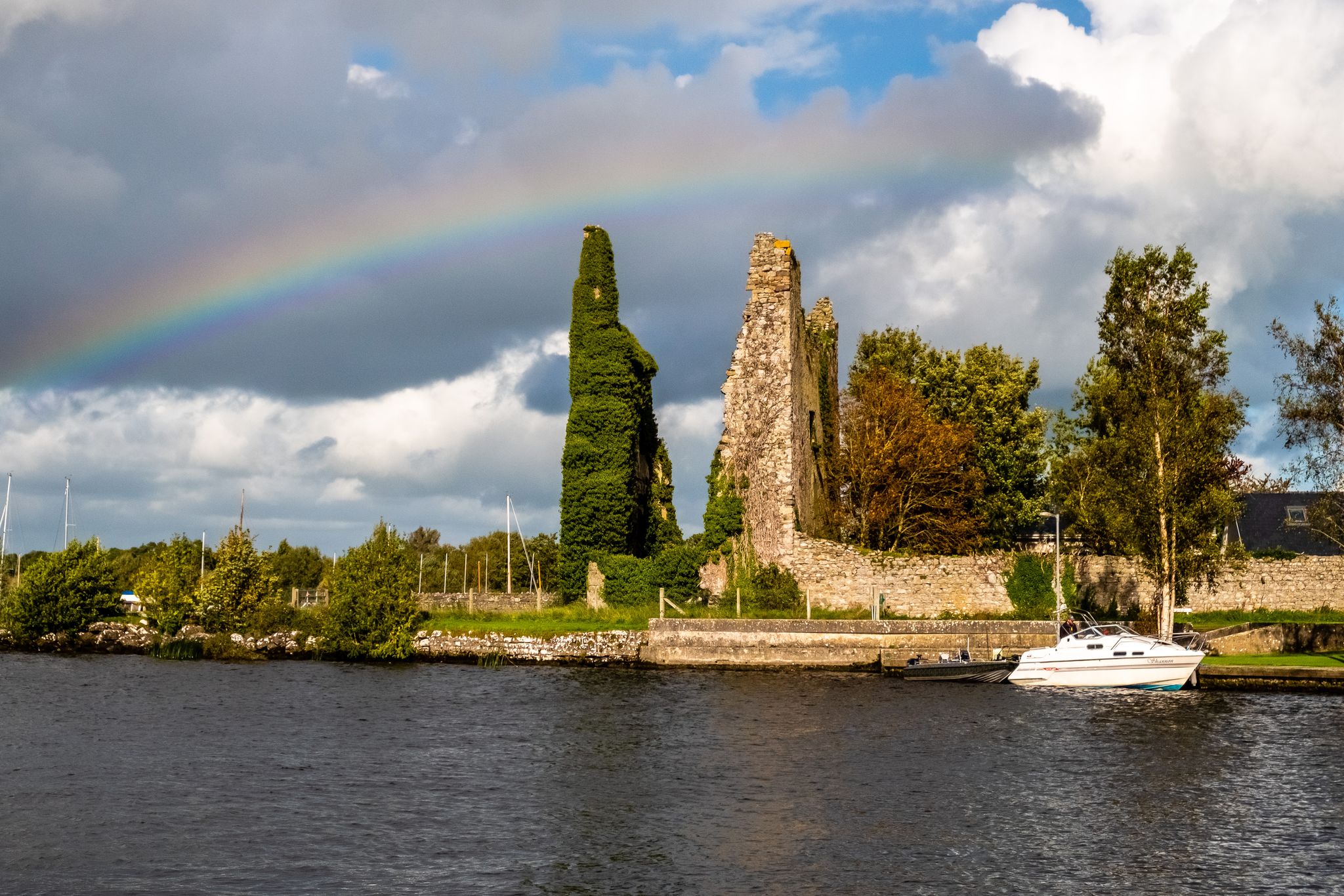
Lough Derg Way
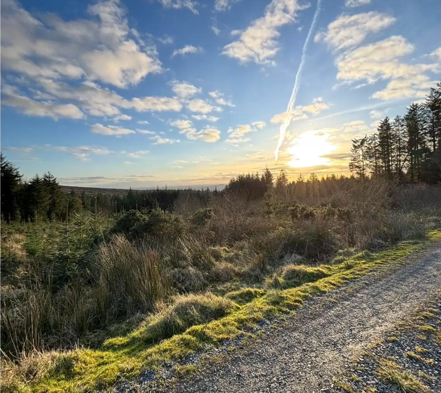
スリーヴ・フェリム・ウェイ – マンスター地方の隠れた道
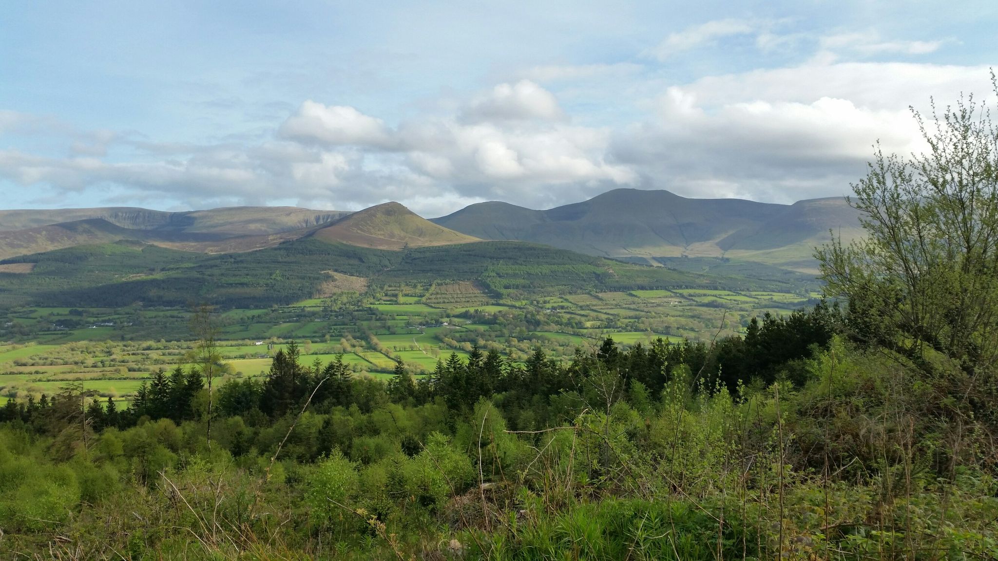
ロングウォークのこだま — バリーホウラウェイ
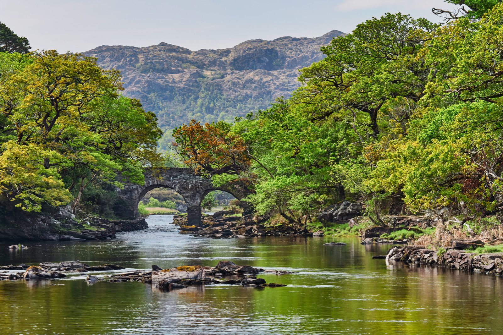
水を追いかけて - アイルランドの川と湖沿い
Awaken your spirit of discovery — family-friendly walks in Ireland
Hiking through the heart of the Emerald Isle – discover central Ireland
リメリックでのの他の冒険


コミュニティからのヒント


Impressive fortress with museum about Limerick's history
2
0

An extensive network of MTB trails criss-cross the slopes of Seefin. They are fast and flowing trails, and in the interests of safety pedestrians are excluded from the bike trails. Due to the complex routing and potential for mislabelling on maps, always follow the yellow "walking person" waymarks and avoid the bike tracks.
1
1

The castle is amazing and there is something to discover everywhere
3
0

King John's Castle (Irish: Caisleán Luimnigh) also known as Limerick Castle is a 13th-century castle located on King's Island in Limerick, Ireland, next to the River Shannon. Although the site dates back to 922 when the Vikings lived on the Island, the castle itself was built on the orders of King John of England in 1200. Some of the external walls, towers and fortifications remain, and the site is open for visitors. The remains of a Viking settlement were uncovered during archaeological excavations at the site in 1900. https://en.m.wikipedia.org/wiki/King_John%27s_Castle_(Limerick)
7
1

There is an entry fee to see inside. The grounds and the church are interesting outside for those unfamiliar with more than 300 years of history.
2
1
リメリックでのの人気観光スポット

komootモバイルアプリでインスピレーションを得よう


探していたものは見つかりませんでしたか?
リメリックの下にある他のハイキングをチェックして、目的地で完璧なルートを見つけましょう。
