リメリックの天然記念物・トップ4
リメリックが誇る美しい風景を見てみたいなら、リメリックの素晴らしい天然記念物・トップ4
に行ってみましょう。あなたにぴったりの場所が見つかるよう、素晴らしい天然記念物を探索するために必要なすべての情報を集めました。次のアウトドアの冒険に出かける計画の参考にしましょう。
最終更新日: 9月 2, 2026
滝 — Annagh川
ハイライト • 滝
役立つ情報 は

Lough Gur Wedge Tomb
ハイライト • 歴史的な場所
翻訳者 Google •
役立つ情報 は

今すぐサインアップして、こんな場所を発見しよう
最高のシングルトラック、ピーク、その他のエキサイティングなアウトドアスポットのおすすめを受け取ろう。
無料新規登録
カラ・チェイス
ハイライト • 森
翻訳者 Google •
役立つ情報 は

岩の露頭
ハイライト • 自然記念物
翻訳を表示中
役立つ情報 は

ノックフィエルナからの眺め
ハイライト • 展望台
役立つ情報 は

無料アカウントで今日から始めよう
次の冒険が待っています。
ログインまたは登録
リメリック周辺で人気
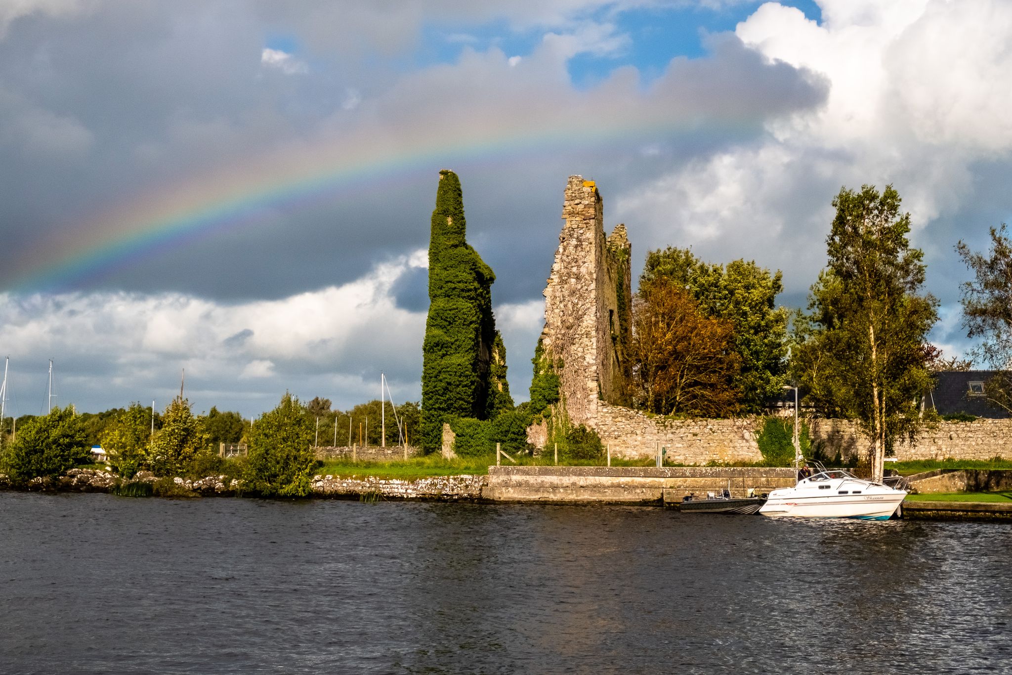
Lough Derg Way
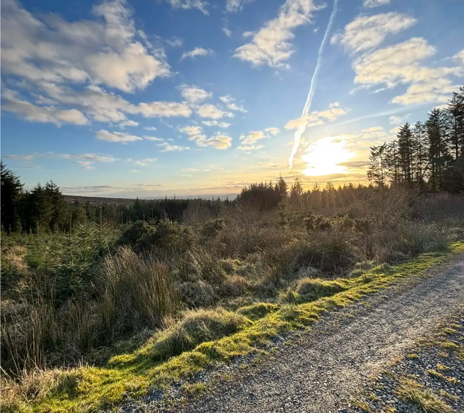
スリーヴ・フェリム・ウェイ – マンスター地方の隠れた道
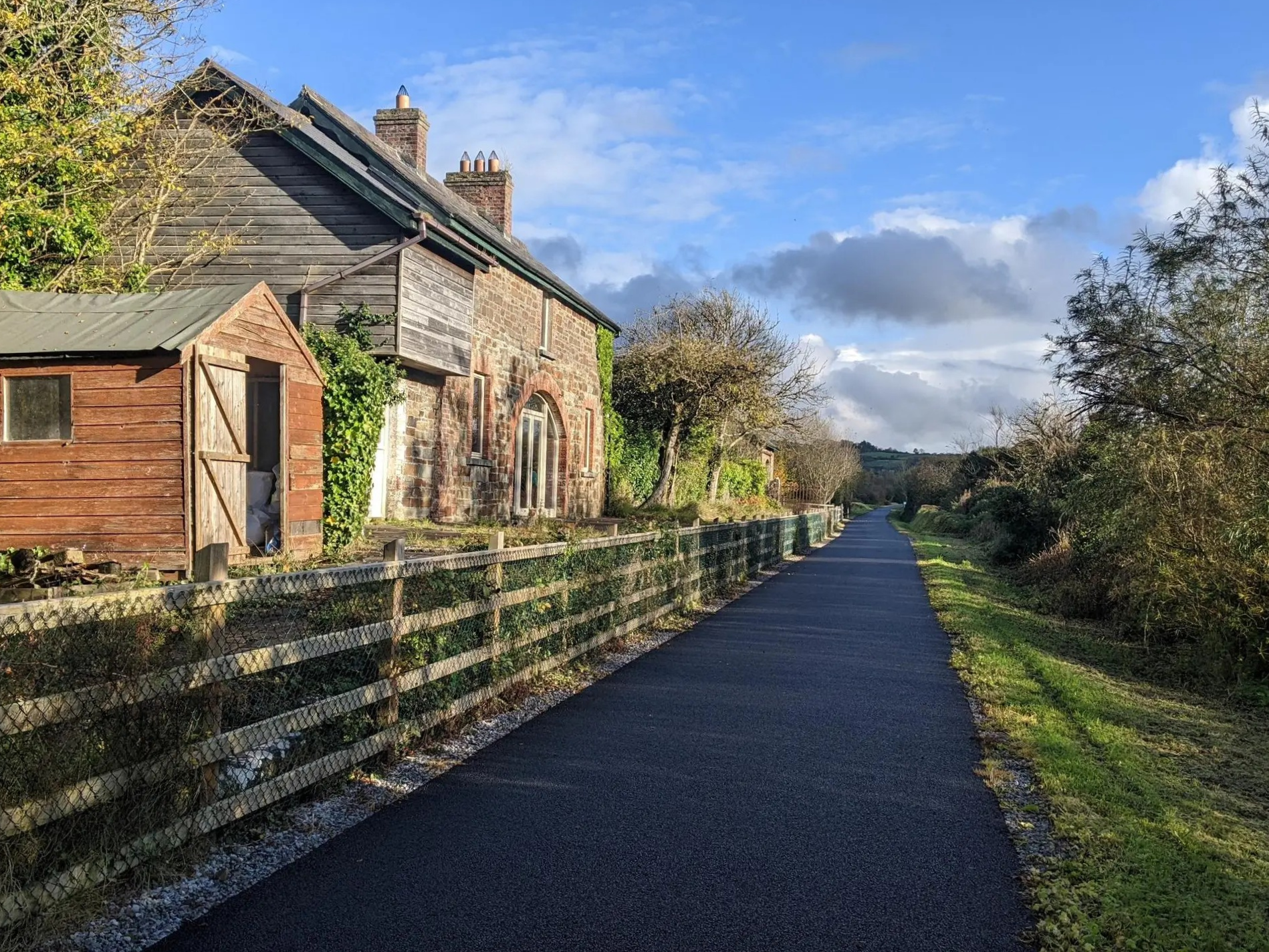
リムリック・グリーンウェイ - アイルランドの田園風景の真髄をサイクリング
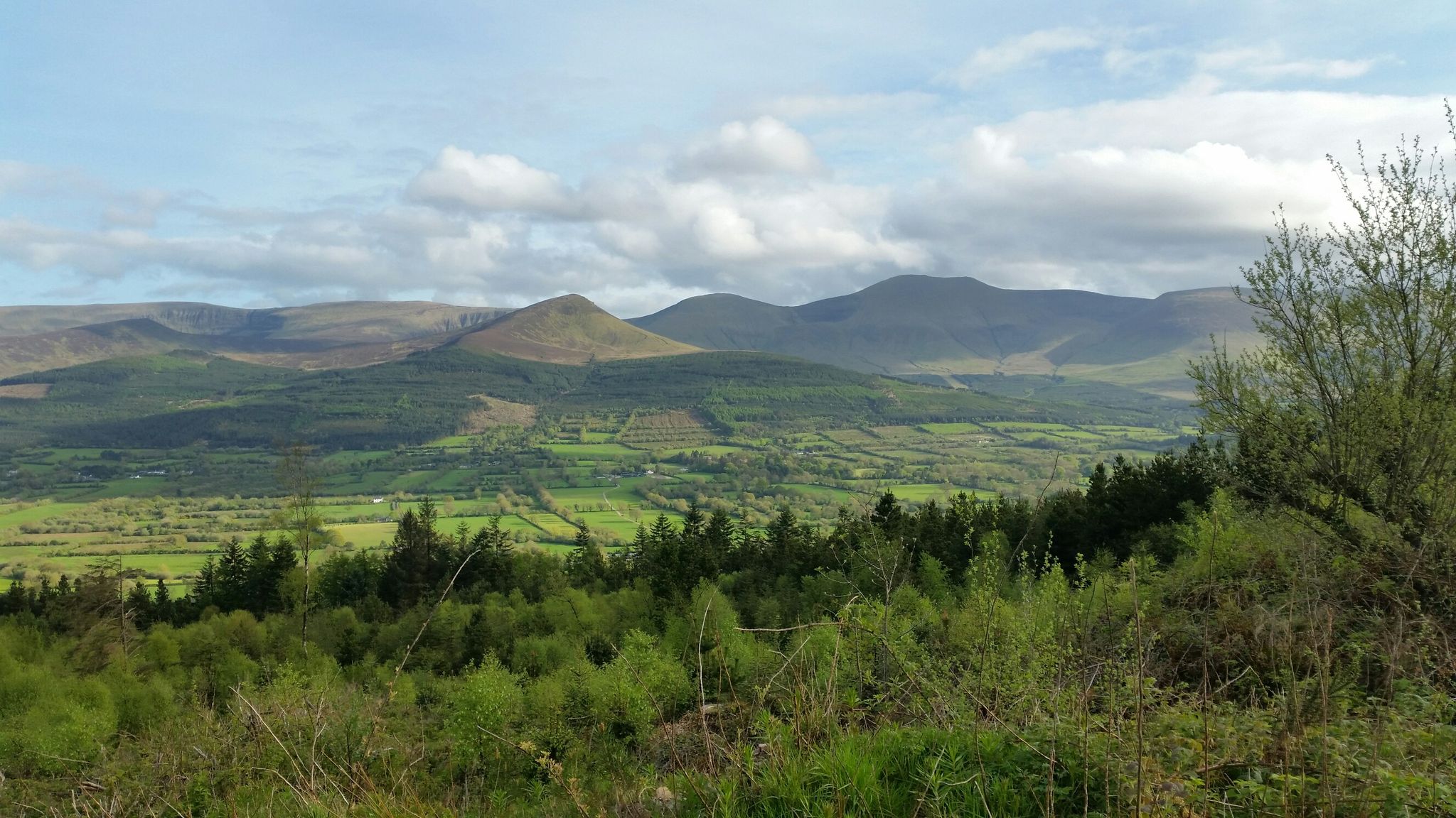
ロングウォークのこだま — バリーホウラウェイ
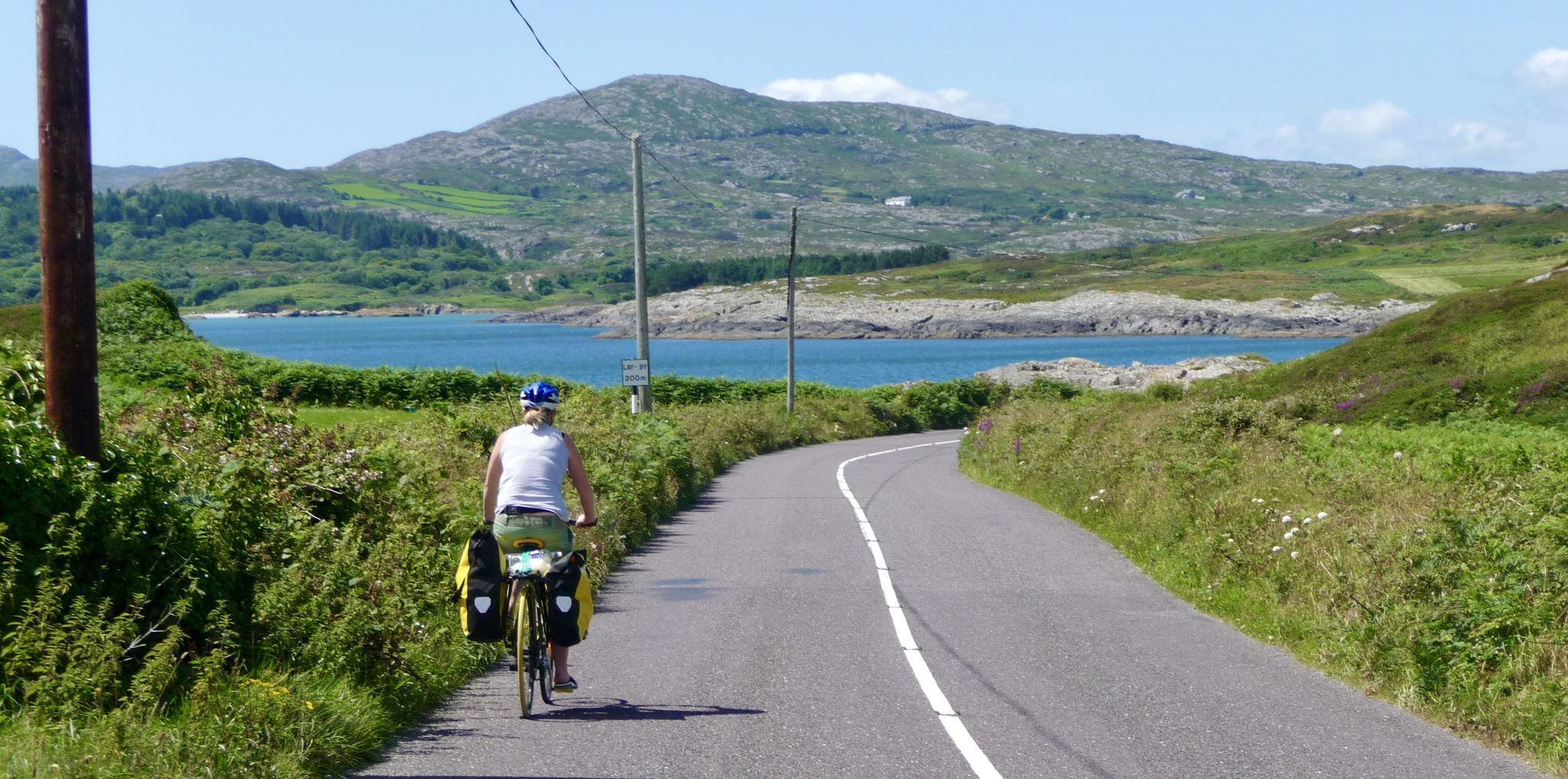
美しいアイルランドを発見して、マイゼンからマリンまでエンドツーエンドをサイクリングしてください

水を追いかけて - アイルランドの川と湖沿い
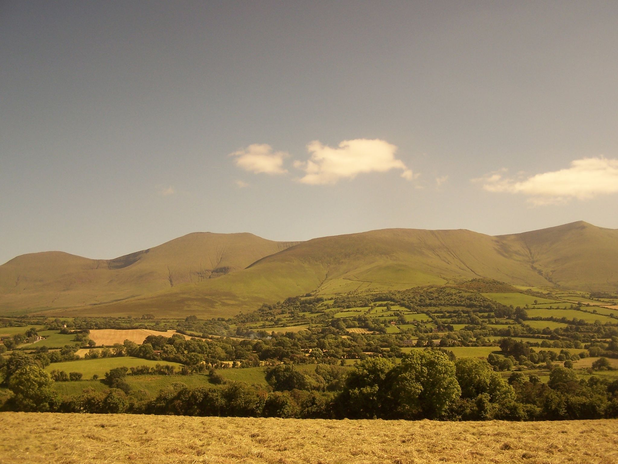
Cycling in Ireland’s emerald heart — the Ballyhoura Mountains
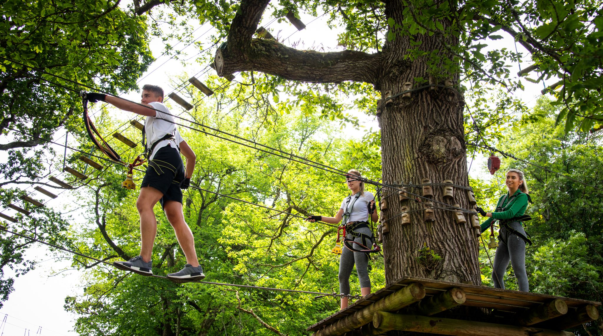
Awaken your spirit of discovery — family-friendly walks in Ireland
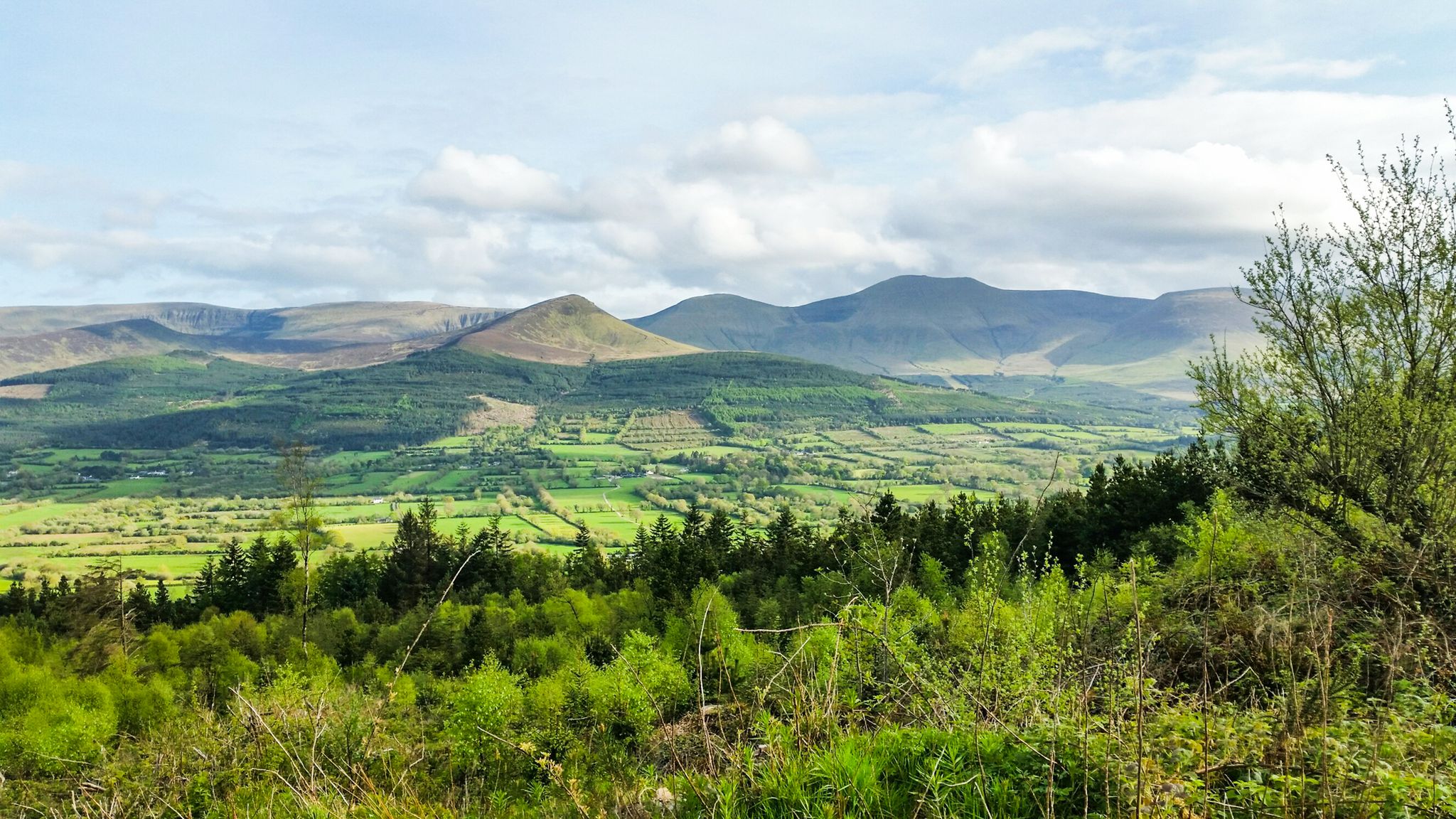
Hiking through the heart of the Emerald Isle – discover central Ireland
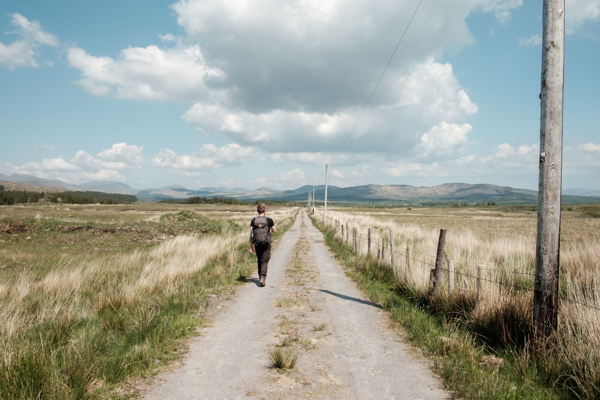
Irish wanderlust — 8 long-distance hiking trails on the Emerald Isle
リメリックでのの他の冒険


コミュニティからのヒント

ここには小さな井戸のある岩が露出し、宗教的な人物に囲まれており、平和な小さな神社の雰囲気があります。周囲のエリアとは一線を画す、静かで雰囲気のある場所です。立ち止まって考え事をしたり、休憩したりするのに最適な場所です。
1
0

Apparently, the grave was covered by a pile of stones in the 19th century and an old woman lived in it for many years.
4
0

The tomb is nearly 9 meters long, oriented northwest to southeast, and consists of a portico and a main chamber. During excavations in 1938, the unburned and cremated human remains of at least eight adults and four children were found in the main chamber.
4
0

Dense foligue along the river landscape. The Annagh river on the border between Limerick and Tipperary counties, has a few trails for you to take advantage.
0
0

Also known as the Giant's Grave, this is well worth seeing if you are in the vicinity of Lough Gur. It is said that a woman used to live in the tomb and when she died, the top stones were removed, leaving the tomb in its current condition. It was excavated in 1938 and both human and animal bones were found dating to around 2,500 - 2,000 BC.
1
0
Knockfierna is the highest peak in County Limerick at 949ft (289m). It is thought that it is an extinct volcano. At the top is a cross and a mass rock as well as vast views across the countryside. On a good day you can see MacGillycuddy’s Reeks in County Kerry.
0
0

Cascading waterfalls at the beginning of the Clare Glens wooded loop. The first half of this tour is in County Limerick, and the other in Tipperary!
1
0
Explore dense forest and crystal clear waters on this hike through Clare Glens. The waterfall is fresh and beautiful, take a dip if you dare!
2
1
リメリックでのの人気観光スポット

komootモバイルアプリでインスピレーションを得よう


