ウォーターフォードのおすすめウォーキング&ハイキングルート
4.5
(640)
4,706
ハイカー
140
ハイキング
ウォーターフォードでのハイキングに出かけて、ミュンスターのこのエリアを探索してみませんか?このガイドでご紹介するのは、komootがウォーターフォードでのハイキング・ウォーキングルートのコレクション全体を評価して選び抜いた、このエリアの人気ハイキングルートです。あなたに合った でのハイキングを見つけるには、他のユーザーがアップロードした役立つ情報や写真を閲覧し、各ルートに関するみんなの意見やコメントを参考にしましょう。
最終更新日: 10月 6, 2026
4.7
(91)
662
ハイカー
8.25km
04:13
640m
640m
The Coumshingaun Loop Walk is a difficult 5.1-mile hike in the Comeragh Mountains, featuring dramatic glacial scenery and challenging terrai
4.8
(111)
605
ハイカー
6.39km
01:43
80m
80m
Hike the easy Ardmore Cliffs via Ardmore Beach, a 4.0-mile coastal route with ocean views and historical landmarks like Ardmore Round Tower.

4.8
(19)
117
ハイカー
15.0km
03:58
150m
150m
Hike the moderate 9.3-mile Dunmore East to Ballymacaw Cove trail for dramatic coastal views, coves, and historical landmarks.
4.8
(20)
115
ハイカー
8.15km
03:05
560m
560m
Hike Knockmealdown Peak via Sugarloaf Hill, a moderate 5.1-mile route with 1851 feet of gain and stunning 360-degree summit views.
4.6
(17)
92
ハイカー
5.18km
01:53
310m
310m
Hike the moderate 3.2-mile Mahon Falls Loop in the Comeragh Mountains to see the impressive 80-meter Mahon Falls and panoramic views.
3.8
(11)
29
ハイカー
9.04km
02:59
410m
420m
Hike the moderate 5.6-mile Mahon Falls Loop in the Comeragh Mountains, featuring the impressive 80-meter waterfall and scenic valley views.
4.9
(7)
57
ハイカー
7.70km
03:11
380m
390m
中程度のハイキング. ある程度のフィットネスレベルが必要です。 全般的に進みやすいルートです。安定して歩行できる技術が必要です。
5.0
(3)
38
ハイカー
3.58km
01:19
220m
220m
This easy 2.2-mile hike in the Comeragh Mountains offers dramatic glacial scenery and panoramic views of Coumshingaun Lough.
4.8
(6)
52
ハイカー
11.1km
02:50
50m
50m
中程度のハイキング. ある程度のフィットネスレベルが必要です。 進みやすいルートです。あらゆるスキルレベルに適しています。
4.8
(6)
62
ハイカー
7.38km
02:41
460m
460m
Hike to Knockmealdown summit, the highest point in County Waterford, for moderate 4.6-mile views across the Knockmealdown Mountains.
さらに多くのルートや他のユーザーのおすすめ情報を確認できます。
すでにアカウントをお持ちですか?
おすすめのツアーは他のkomootユーザーが実際に経験した何千ものアクティビティに基づいています。
無料アカウントで今日から始めよう
次の冒険が待っています。
ウォーターフォード周辺で人気
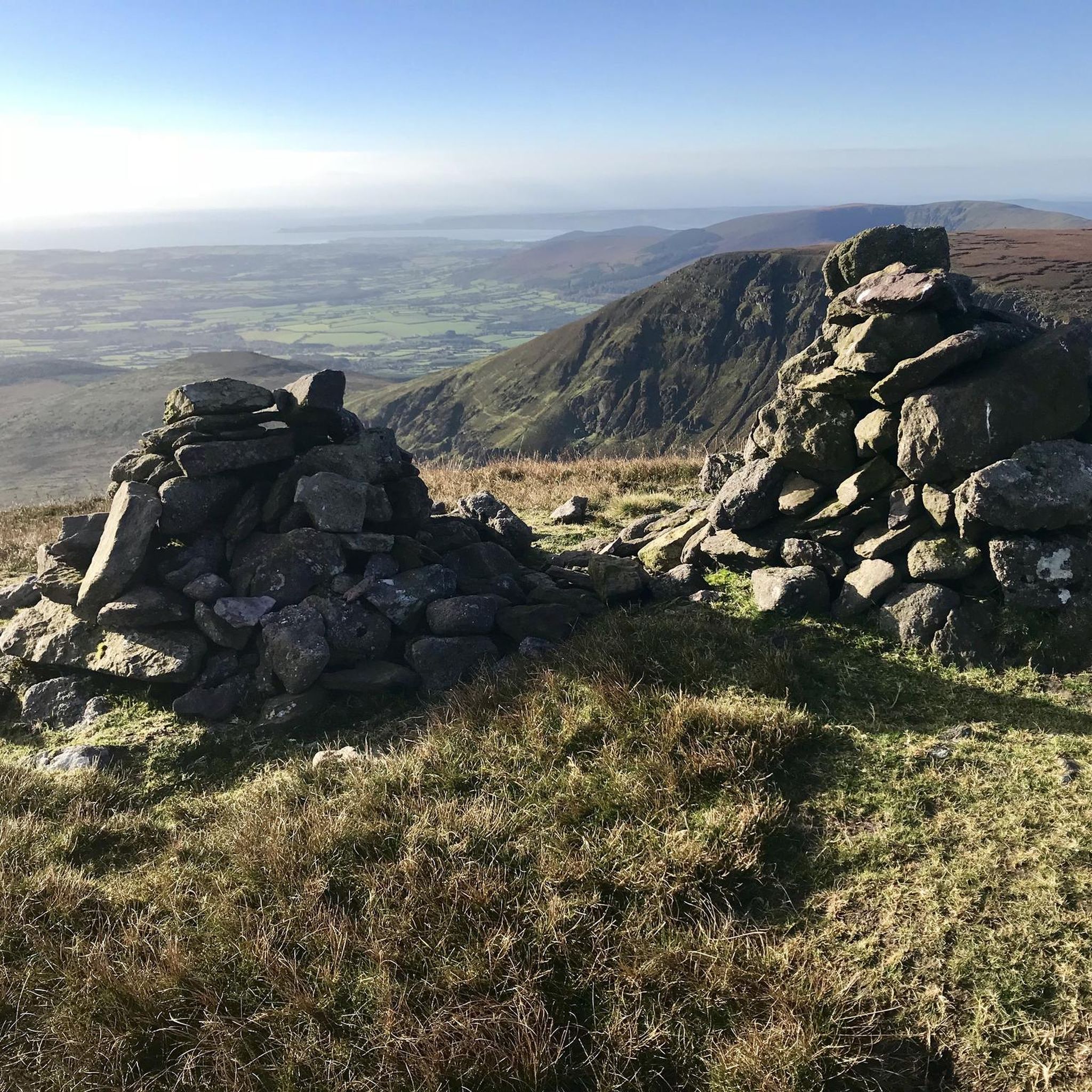
Comeraghでのハイキング
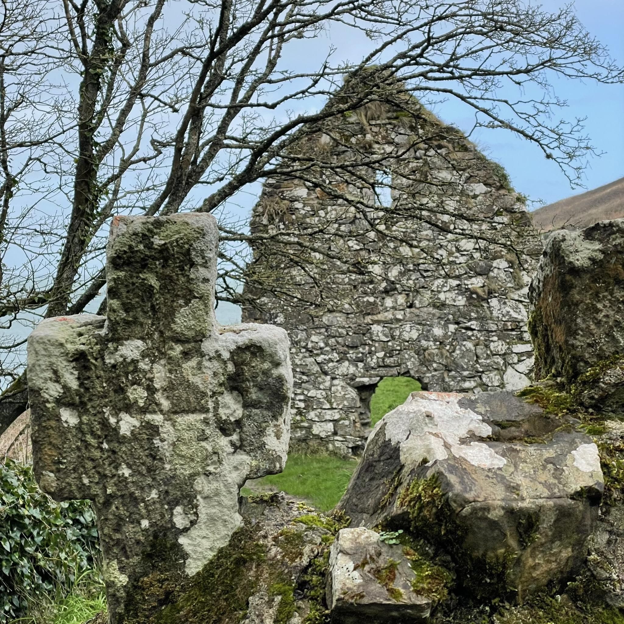
Dungarvan-Lismoreでのハイキング
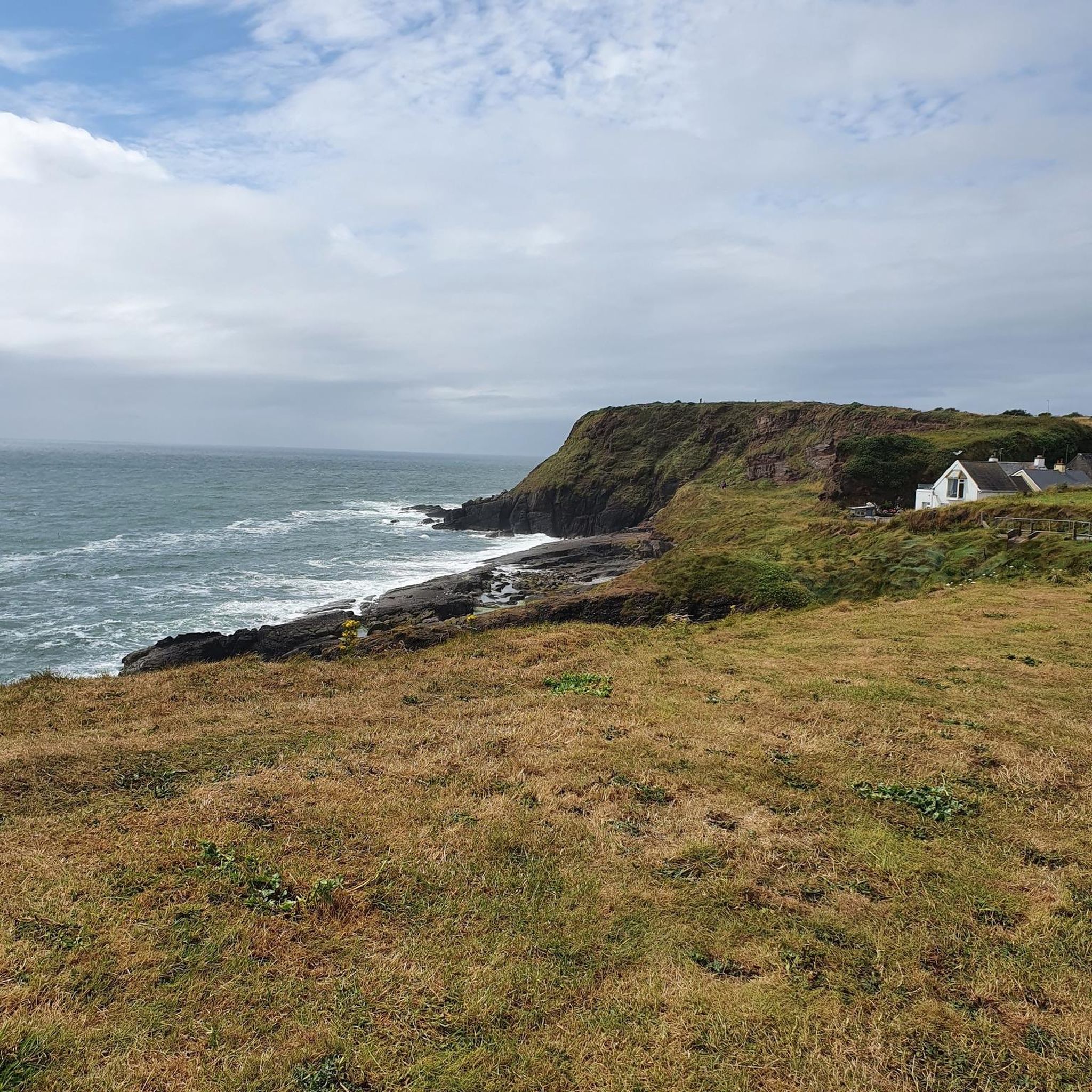
Waterfordでのハイキング
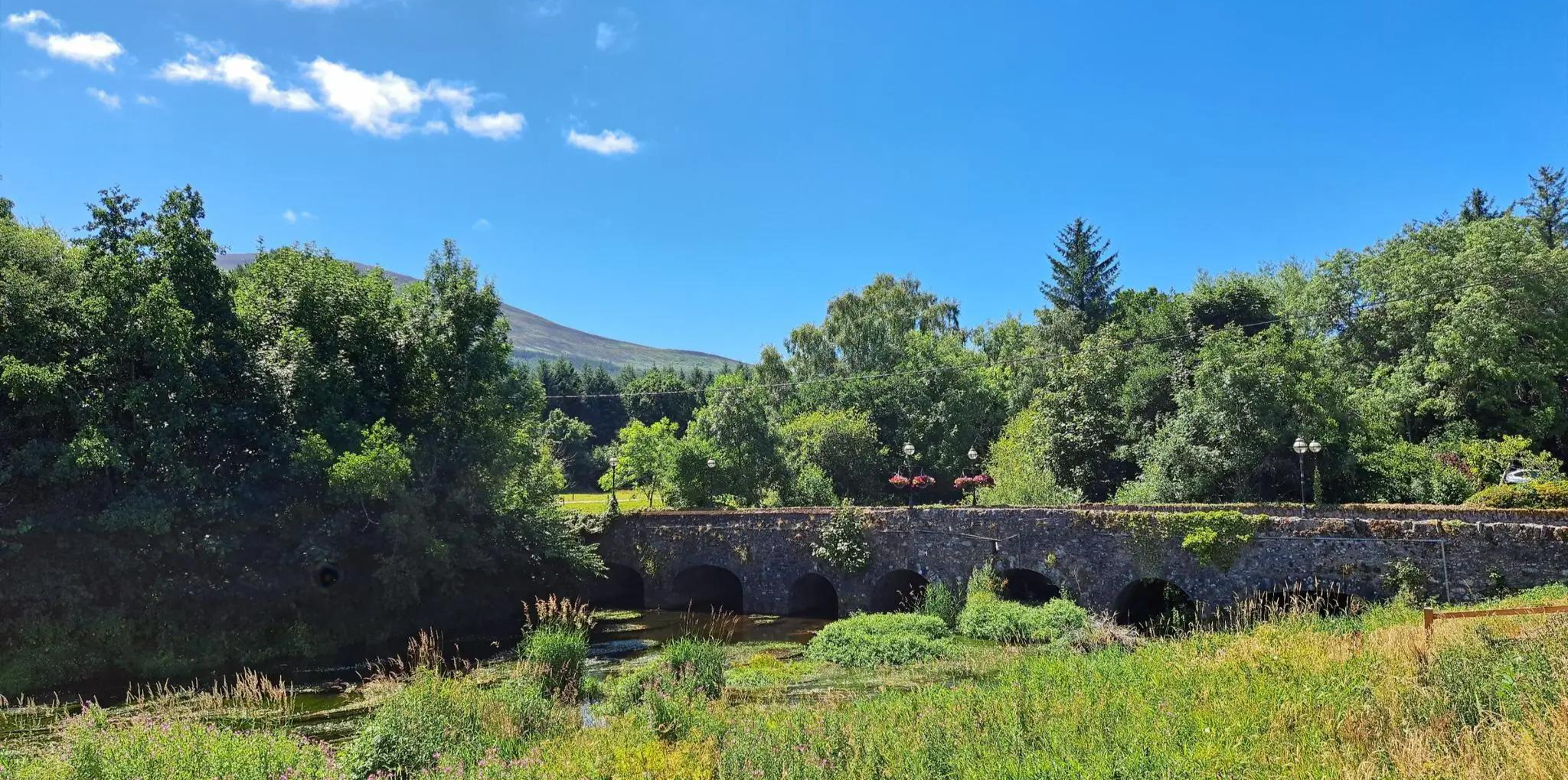
美しいSuir、森林地帯、歴史的な丘陵地帯をハイキング – East Munster Way

水を追いかけて - アイルランドの川と湖沿い
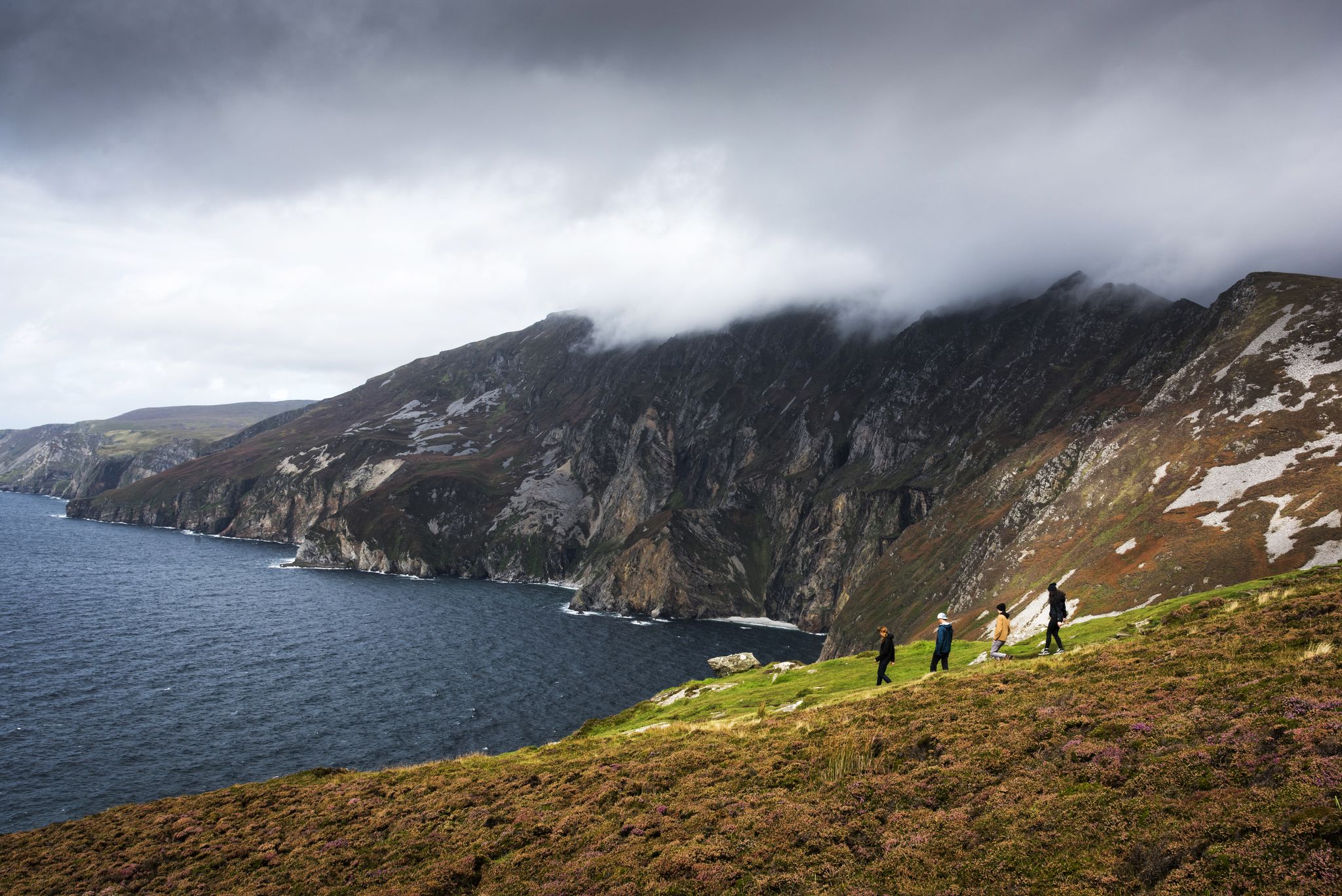
Hike Ireland's coast: cliffs, waves and wonderful wide beaches
Awaken your spirit of discovery — family-friendly walks in Ireland

Ireland's blue rivers and lakes – walks along the water

Between waves and peaks — to the best views in Ireland
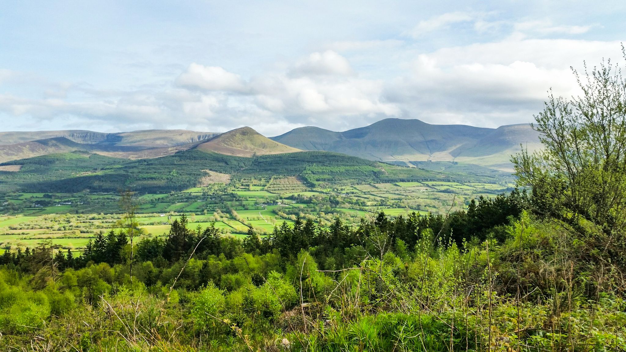
Hiking through the heart of the Emerald Isle – discover central Ireland
ウォーターフォードでのの他の冒険


コミュニティからのヒント

アードモアの崖の上には、アイルランドで最も古いキリスト教の史跡の一つがあります。この印象的な複合施設には、12世紀の大聖堂と、象徴的な高さ30メートルの円形塔が組み合わされています。遺跡の西側の外壁沿いをぜひ散策して、アダムとイブなどの聖書の場面が今もはっきりと見えるユニークなロマネスク様式の彫刻を鑑賞してください。内部には、アイルランド最古の文字である珍しいオガム石があります。大聖堂の隣には、聖デクランの伝統的な墓地である8世紀の礼拝堂があります。ケルト海を見下ろす素晴らしい景色を望む、歴史的な休息の場です。
7
0
12世紀の円形塔で、アイルランドで最も保存状態の良い塔の一つです。細身でエレガント、大聖堂、オガム石、初期キリスト教の墓に囲まれています。アードモア湾を見下ろす歴史的なランドマークであり、クリフウォークの完璧なスタート地点です。
7
0

Portally Cove, with its scenic pebble beach, is set within a remote inlet flanked by high cliffs near Dunmore East in County Waterford.
0
0
This coastal path gives great views on the coast and the sea: enjoy it!
0
0

Dunhill Castle is a traditional quarry stone fortress. The name itself means "on the rock." It's definitely worth a visit, as there are wonderful views all the way to the sea from up here.
1
0

The path to the parking lot was almost more interesting than the trail to the waterfall 😳 Space for at least 50 cars, plenty of benches and tables, information boards, and viewpoints... Here, you have the option of taking the 1.25km gravel path to the waterfall.
2
0
Quite nice, but probably only really good after periods of rain. In April, after lots of sunshine and dry weather, it's more pretty than impressive. I'd say: you can do it, but you don't have to.
2
0
A well-maintained gravel path with no branches. The walk from the parking lot to the waterfall is relatively flat, so even children and people with minor mobility impairments should have no difficulty.
2
0
ウォーターフォードでのの人気観光スポット

komootモバイルアプリでインスピレーションを得よう


探していたものは見つかりませんでしたか?
ウォーターフォードの下にある他のハイキングをチェックして、目的地で完璧なルートを見つけましょう。
