ヴェルネックの天然記念物・トップ20
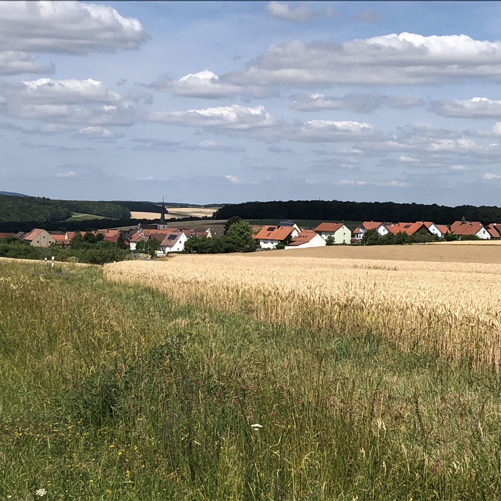
Werneck周辺の最高の自然記念物は、河畔地域、森林、地質学的景観を含む多様な自然の特徴を特徴としています。この自治体は、マイン川の支流であるヴェルン川沿いに位置し、絵のように美しい景色と静かな環境を提供しています。約9平方キロメートルの広大な森林地帯が広がり、アウトドアアクティビティのための緑地を提供しています。ヴェルン川沿いの起伏のある丘陵地帯と高原を持つこの地域の多様な地形は、その景観に貢献しています。
Werneck周辺の最高の自然記念物
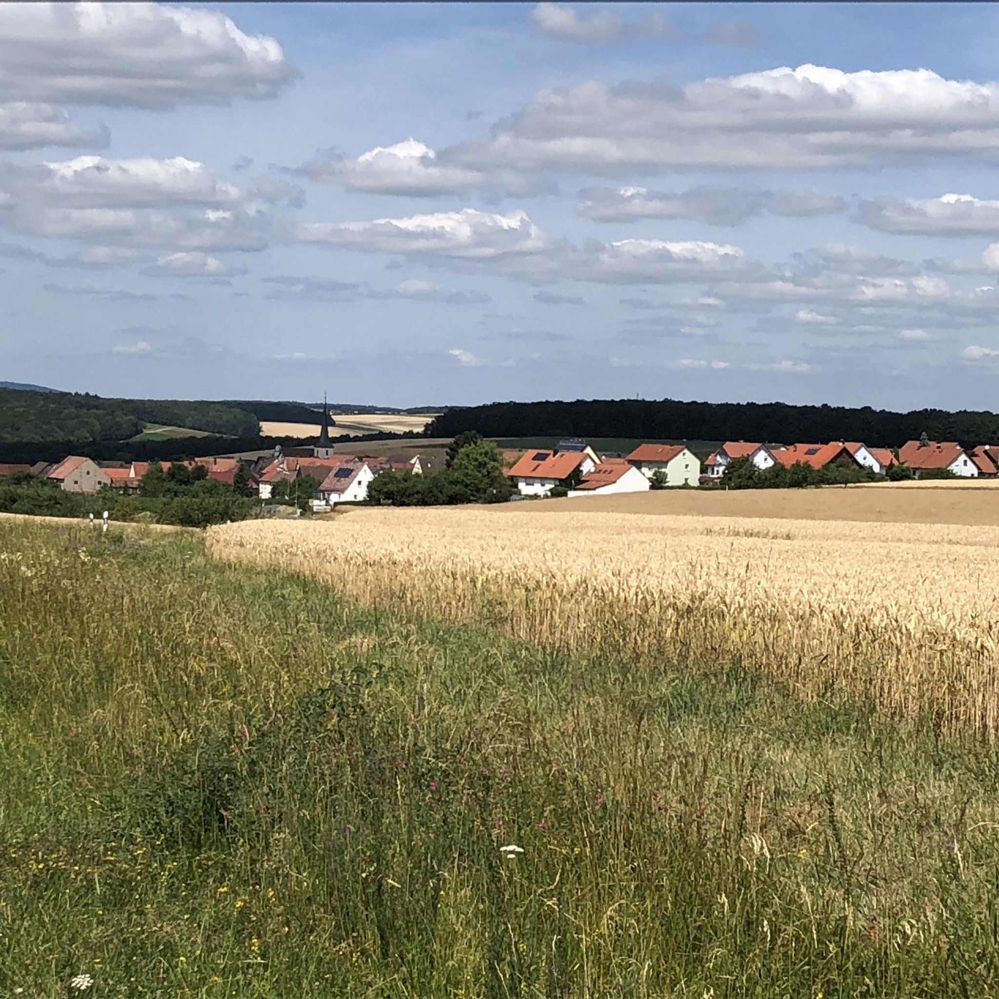
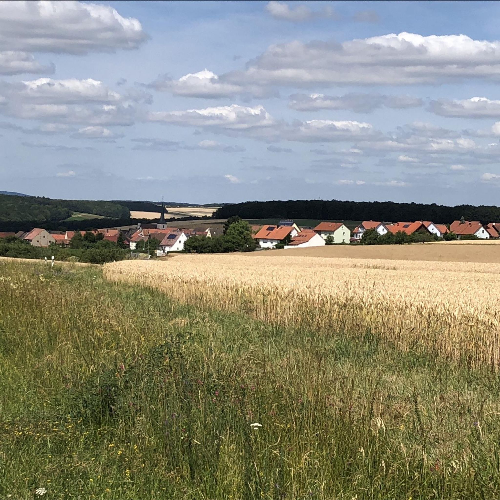
- 最も人気のある自然記念物は、マイン川の蛇行と周囲のブドウ畑の広大な景色を提供する展望スポットであるフォルカッハのテロワールfからのマイン川の蛇行の眺めです。この場所では、気候とそのブドウ栽培への影響に関する情報も提供しています。
- もう一つの必見スポットは、自然記念物であるTännig Sand Duneです。黄金色のベージュ色の砂のこの砂丘は、森の中に現れ、更新世の漂砂の過去の採掘地域を表しています。
- 訪問者はまた、ガースタット野鳥保護区のバードウォッチングタワー、屋根付きの展望台も気に入っています。これにより、葦のあるいくつかの湖と多くの水鳥を広範囲に観察できます。
- Werneckは、展望スポット、砂丘、泉で知られています。この地域は、多様な地質学的および生態学的特徴を示す、さまざまな自然記念物を観察および探索できます。
- Werneck周辺の自然記念物は、1200以上の「いいね!」と160の写真が共有されており、komootコミュニティによって高く評価されています。
最終更新日: 10月 11, 2026
翻訳者 Google •
役立つ情報 は

フォルカッハー・マインシュライフェとノルトハイム・アム・マインの眺め
ハイライト • 展望台
翻訳者 Google •
役立つ情報 は

今すぐサインアップして、こんな場所を発見しよう
最高のシングルトラック、ピーク、その他のエキサイティングなアウトドアスポットのおすすめを受け取ろう。
展望台フォーゲルブルク
ハイライト • 展望台
翻訳者 Google •
役立つ情報 は

テーニッヒ砂丘
ハイライト • 自然記念物
翻訳者 Google •
役立つ情報 は

ガルシュタット鳥類保護区の観察塔
ハイライト • 展望台
It's best to drive via Heidenfeld. …
翻訳者 Google •
役立つ情報 は

無料でサインアップして、さらに多くの自然記念物を発見しましょう ヴェルネックでの。
すでにアカウントをお持ちですか?
無料アカウントで今日から始めよう
次の冒険が待っています。

コミュニティからのヒント

In the Tännig valley, east of Grafenrheinfeld, a small dune field is located in an extensive former mining area of Pleistocene drifting sand. Westerly winds deposited the sand in sheltered areas during the cold periods of the last 2.6 million years. The most striking dune is accessible via a hiking trail (Auenwaldweg) that runs directly past it. Two larger sand outcrops exist. The dune and its surroundings are under special protection as a protected landscape feature.
0
0
In the Tännig valley, east of Grafenrheinfeld, a small dune field is located in an extensive former mining area of Pleistocene drifting sand. Westerly winds deposited the sand in sheltered areas during the cold periods of the last 2.6 million years. The most striking dune is accessible via a hiking trail (Auenwaldweg) that runs directly past it. There are two larger sand outcrops. The dune and its surroundings are under special protection as a protected landscape feature.
0
0

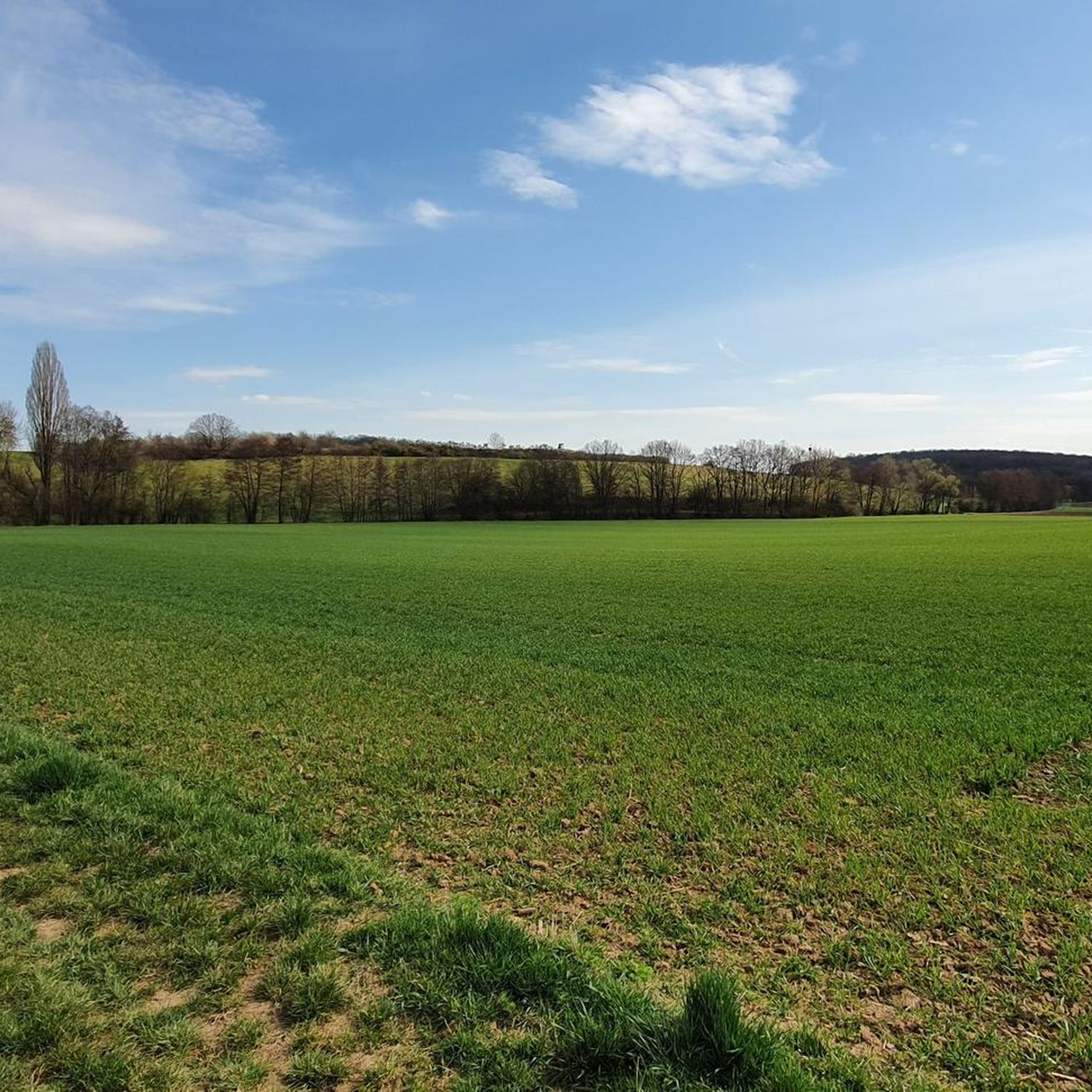
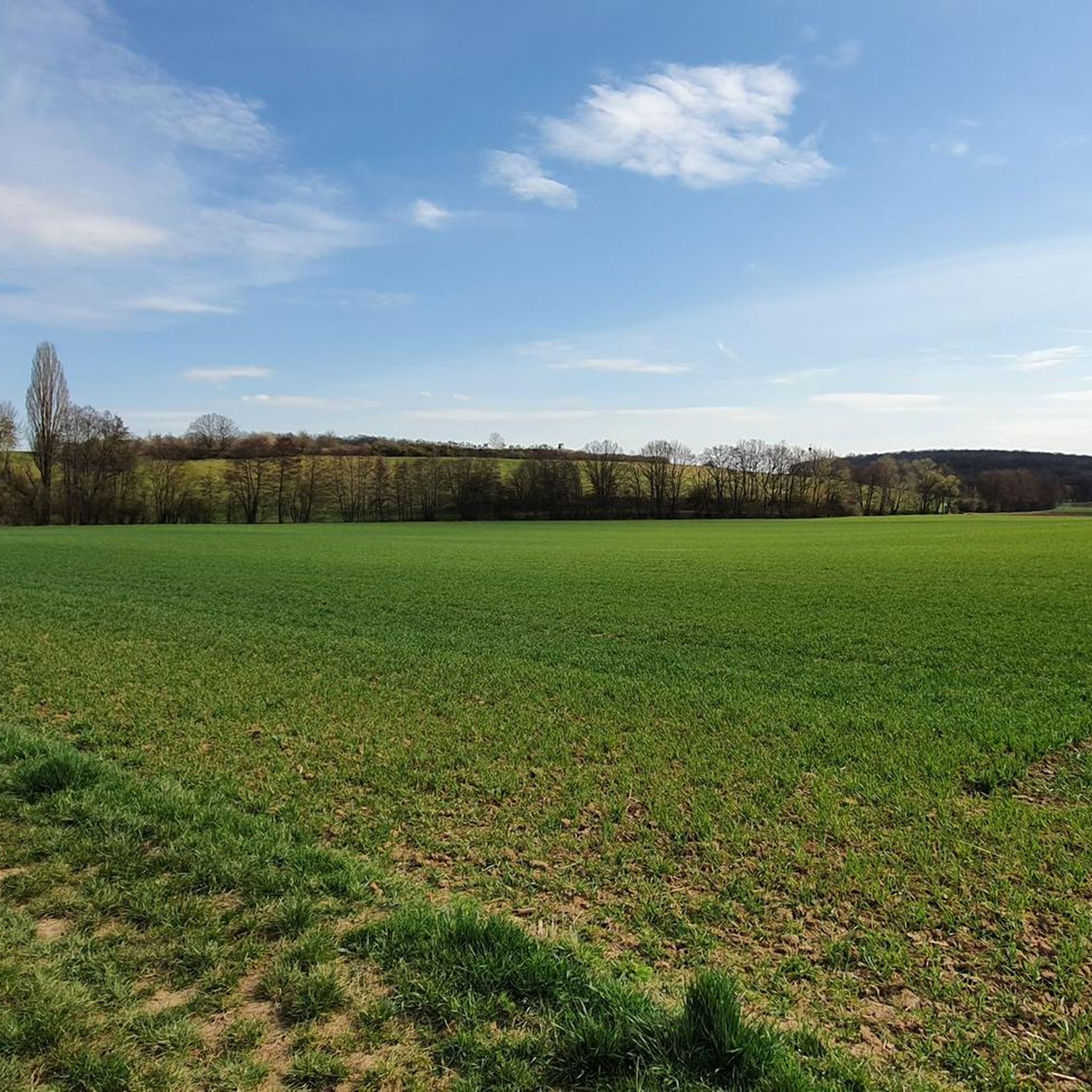
The Garstadt nature reserve / bird sanctuary is worth a visit at any time of year.
0
0

Great view, but one of the longest terroirs in the district
3
1

Very fine sand - and a lot of it! It's a bit surprising when you're walking through the forest and suddenly you're standing on a dune. The mystical-looking roots make for some great photo opportunities.
2
0

There is a ban on cycling there. From the barrier it is about 100 meters on foot
1
0

Here you can leave the stress behind and breathe in some fresh air.
2
0

Great viewing platform that allows extensive bird watching. You can view the documented bird sightings of the past few days using a QR code. It's best to drive via Heidenfeld. The Main is in the way from Garstadt! There are racks at the barrier for parking bicycles.
3
0
ヴェルネックでのの人気観光スポット

komootモバイルアプリでインスピレーションを得よう


さらに探索
これらのガイドで、最高の洞窟を探す範囲を広げましょうヴェルネックでの:
