ベルグルハインフェルトの天然記念物・トップ20
ベルグルハインフェルトが誇る美しい風景を見てみたいなら、ベルグルハインフェルトの素晴らしい天然記念物・トップ20
に行ってみましょう。あなたにぴったりの場所が見つかるよう、素晴らしい天然記念物を探索するために必要なすべての情報を集めました。次のアウトドアの冒険に出かける計画の参考にしましょう。
最終更新日: 10月 11, 2026
テーニッヒ砂丘
ハイライト • 自然記念物
翻訳者 Google •
役立つ情報 は

ガルシュタット鳥類保護区の観察塔
ハイライト • 展望台
It's best to drive via Heidenfeld. …
翻訳者 Google •
役立つ情報 は

今すぐサインアップして、こんな場所を発見しよう
最高のシングルトラック、ピーク、その他のエキサイティングなアウトドアスポットのおすすめを受け取ろう。
リンデンの泉
ハイライト • 自然記念物
The tour begins in Schweinfurt Höllental and leads uphill to Dianenlust via a long single …
翻訳者 Google •
役立つ情報 は

ビスマルクホーエからのマイン川とマインベルク城の眺め
ハイライト • 展望台
翻訳者 Google •
役立つ情報 は
フォルカッハー・マインシュライフェ
ハイライト • 自然記念物
翻訳者 Google •
役立つ情報 は

無料でサインアップして、さらに多くの自然記念物を発見しましょう ベルグルハインフェルトでの。
すでにアカウントをお持ちですか?
無料アカウントで今日から始めよう
次の冒険が待っています。

コミュニティからのヒント

In the Tännig valley, east of Grafenrheinfeld, a small dune field is located in an extensive former mining area of Pleistocene drifting sand. Westerly winds deposited the sand in sheltered areas during the cold periods of the last 2.6 million years. The most striking dune is accessible via a hiking trail (Auenwaldweg) that runs directly past it. Two larger sand outcrops exist. The dune and its surroundings are under special protection as a protected landscape feature.
0
0
In the Tännig valley, east of Grafenrheinfeld, a small dune field is located in an extensive former mining area of Pleistocene drifting sand. Westerly winds deposited the sand in sheltered areas during the cold periods of the last 2.6 million years. The most striking dune is accessible via a hiking trail (Auenwaldweg) that runs directly past it. There are two larger sand outcrops. The dune and its surroundings are under special protection as a protected landscape feature.
0
0

The entire Main loop was declared a landscape conservation area on January 31, 1969. The conservation area includes districts in the areas of the municipalities of Wipfeld in the district of Schweinfurt, Volkach and Schwarzach am Main in the district of Kitzingen. The Main loop is registered in the Natura 2000 network and is an element of the Main valley between Schweinfurt and Dettelbach. In addition, the entire area is designated as a bird sanctuary and fauna-flora habitat. The Bavarian State Office for the Environment lists the Main loop as geotope number 675R004. It is 5 kilometers long, 1 kilometer wide and 80 meters high. In general geological terms, the Main loop is considered significant in the State Office's justification, and its geoscientific value is described as valuable, the second highest category. The Vogelsberg forms the center of the geotope. The eight nature reserves on the Main loop enjoy special protection. The remaining sand grass heaths with their valuable plant and animal species are protected in three places in the municipality of Volkach. Another three areas have the characteristic banks of the Main as a protected object. Special features are the protected areas Mainhang at Vogelsburg and Wald at Hallburg, both with typical hillside forests on the Main. https://de.wikipedia.org/wiki/Mainschleife_(Volkach)
1
0
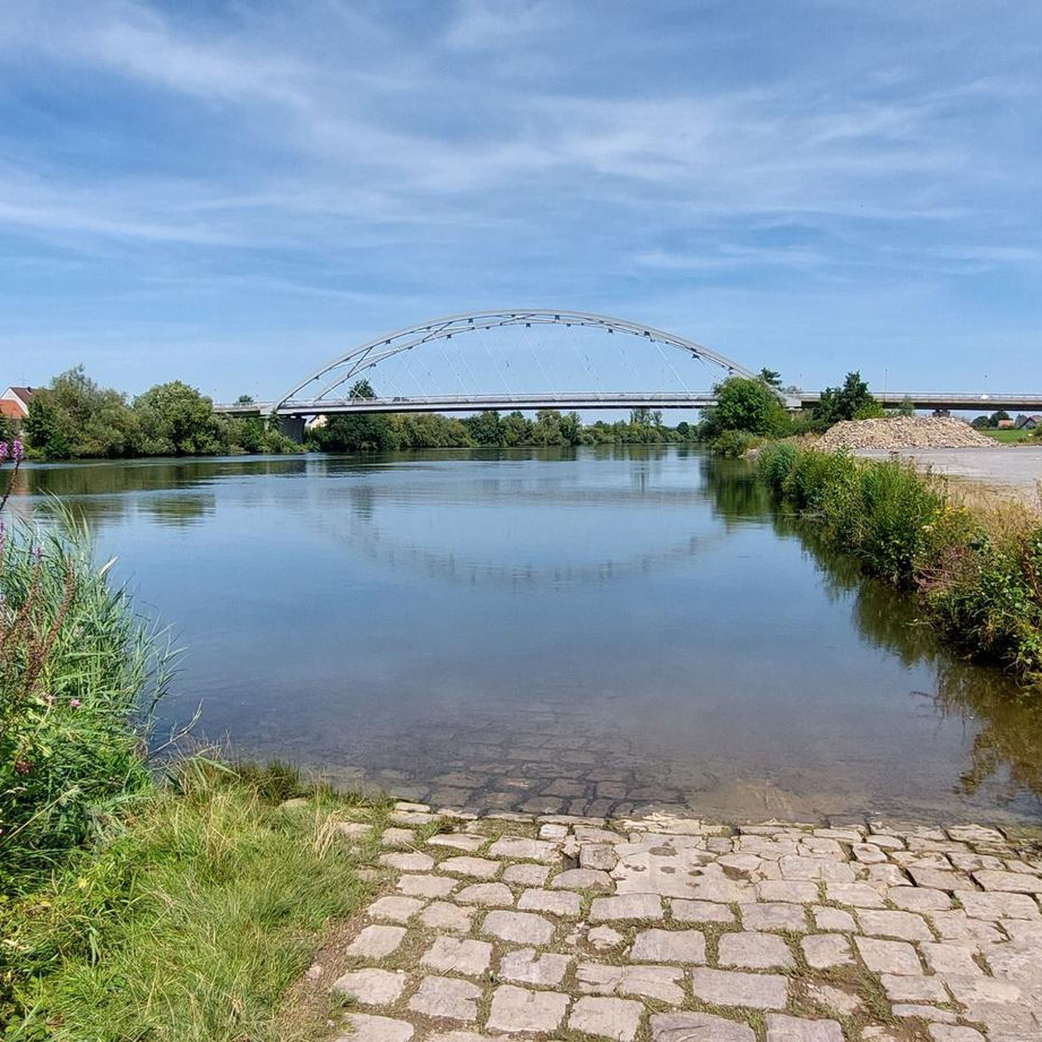
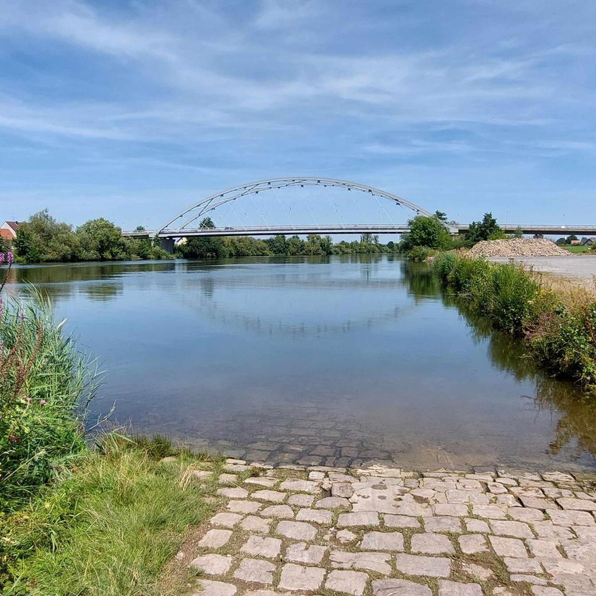
The Volkacher Mainschleife (formerly known as the Mainschleife) is the largest river meander landscape in Bavaria. It is part of the Main triangle. The Mainschleife forms its own natural spatial unit and has been declared a landscape conservation area and geotope. It is located in the administrative district of Lower Franconia between Kitzingen and Schweinfurt near the eponymous town of Volkach and forms the heart of the Franconian wine-growing region, where a separate area was named after it. https://de.wikipedia.org/wiki/Mainschleife_(Volkach)
1
0

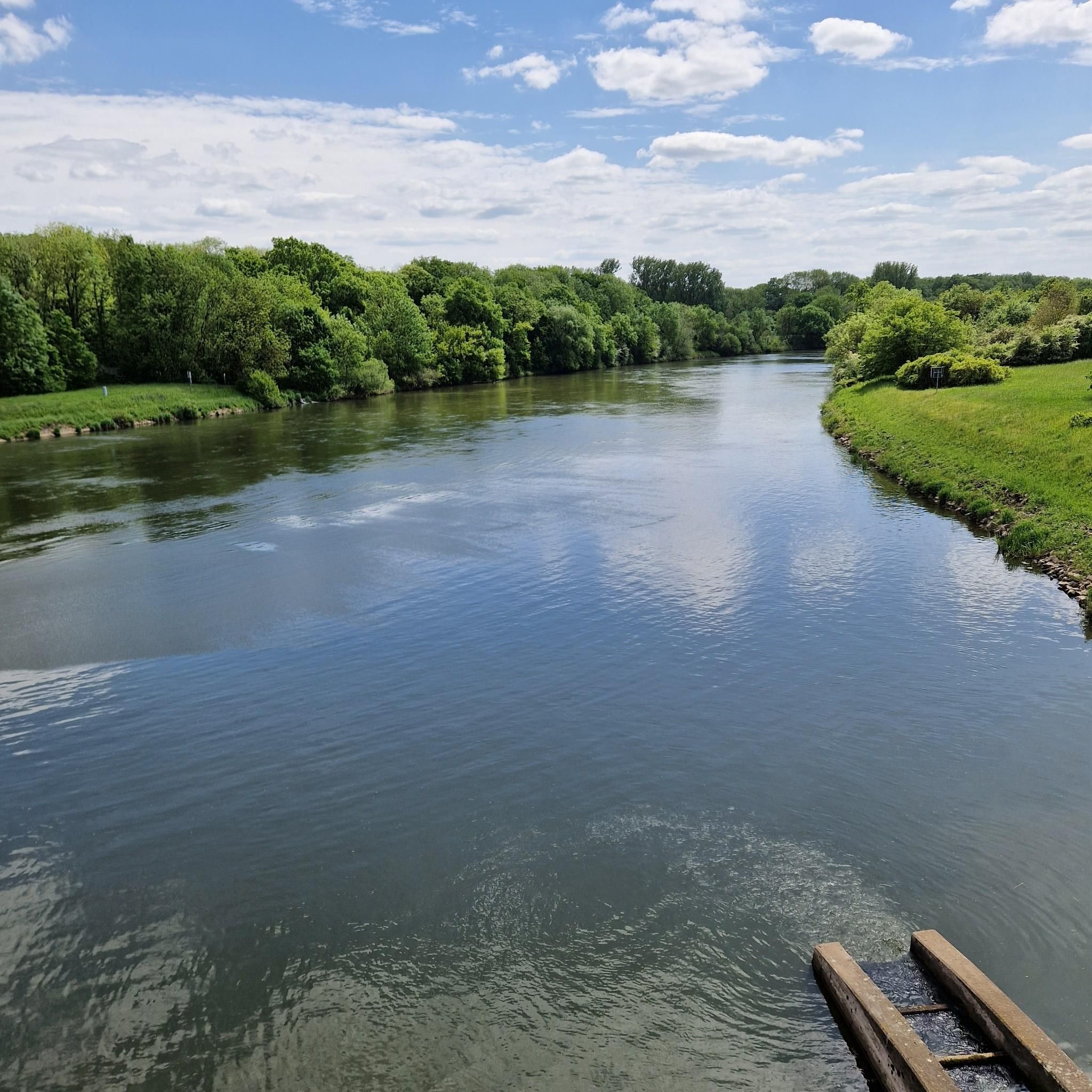
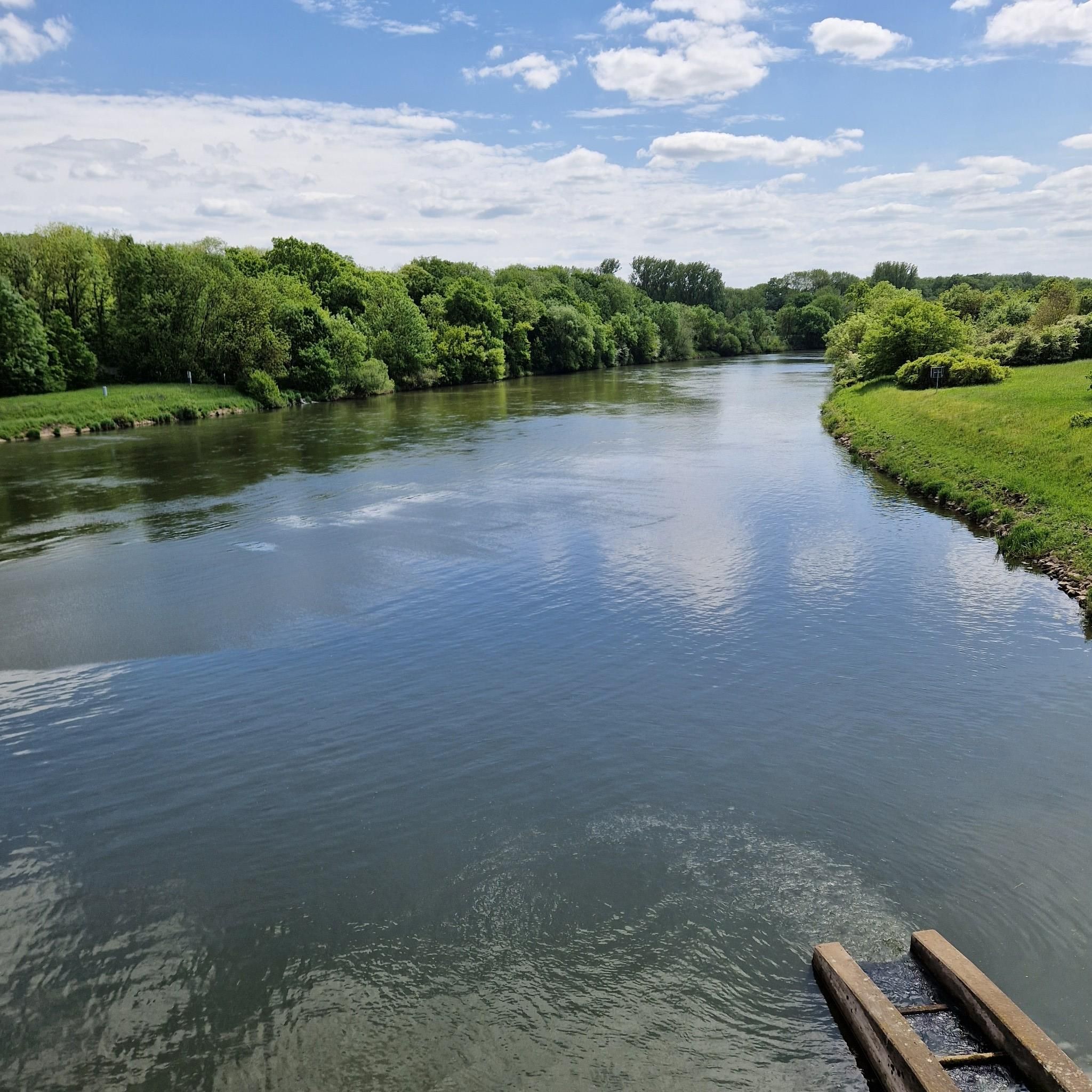
The Garstadt nature reserve / bird sanctuary is worth a visit at any time of year.
0
0

Very fine sand - and a lot of it! It's a bit surprising when you're walking through the forest and suddenly you're standing on a dune. The mystical-looking roots make for some great photo opportunities.
2
0

There is a ban on cycling there. From the barrier it is about 100 meters on foot
1
0

Here you can leave the stress behind and breathe in some fresh air.
2
0
ベルグルハインフェルトでのの人気観光スポット

komootモバイルアプリでインスピレーションを得よう


さらに探索
これらのガイドで、最高の洞窟を探す範囲を広げましょうベルグルハインフェルトでの:
