バーレストンの天然記念物・トップ5
バーレストンが誇る美しい風景を見てみたいなら、バーレストンの素晴らしい天然記念物・トップ5
に行ってみましょう。あなたにぴったりの場所が見つかるよう、素晴らしい天然記念物を探索するために必要なすべての情報を集めました。次のアウトドアの冒険に出かける計画の参考にしましょう。
最終更新日: 8月 24, 2026
The Dorsetshire Gap
ハイライト • 展望台
役立つ情報 は

トルパドル・マーティルズ・ツリー
ハイライト • 展望台
httpww.ancienttreeforum.co.uk/ancient-trees/ancient-tree-sites-to-visit/south-west/tolpuddle-martyrs-tree-2/
役立つ情報 は

今すぐサインアップして、こんな場所を発見しよう
最高のシングルトラック、ピーク、その他のエキサイティングなアウトドアスポットのおすすめを受け取ろう。
無料新規登録
チャーチ・ヒル・エンクロージャー
ハイライト • 展望台
役立つ情報 は

Culpeppers Dish
ハイライト • 自然記念物
役立つ情報 は

バルバロウ・ヒルからの眺め
ハイライト • 展望台
役立つ情報 は

無料でサインアップして、さらに多くの自然記念物を発見しましょう バーレストンでの。
無料新規登録
すでにアカウントをお持ちですか?
無料アカウントで今日から始めよう
次の冒険が待っています。
ログインまたは登録
コミュニティからのヒント

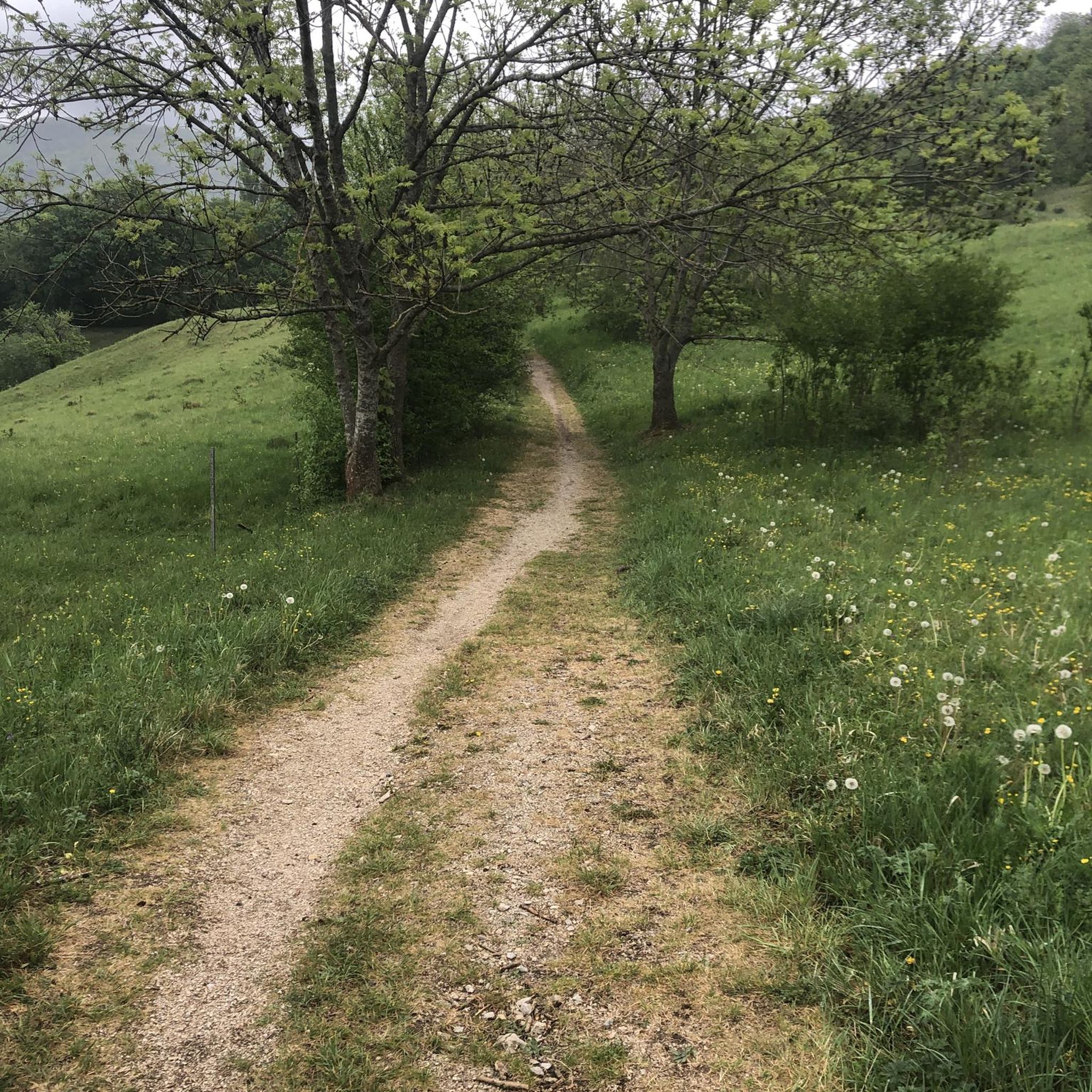
ここから乾燥した天気を切望していました。ここから東への本格的な尾根道は素晴らしいですが、ノビータイヤでない場合は、下りる必要があります。
0
0

The ‘Dish’ is a ‘swallet’ (sinkhole) about 90m in diameter, 40m deep with steep sides. It was named after the herbalist Nicholas Culpepper (1616-1654). It is impossible to photograph it in entirety due to the size of the mature trees growing in it! Swallet holes, or dolines, are circular depressions formed when the underlying chalk is dissolved by the overlying acid sands and gravels which eventually collapse to form an inverted cone.
0
0

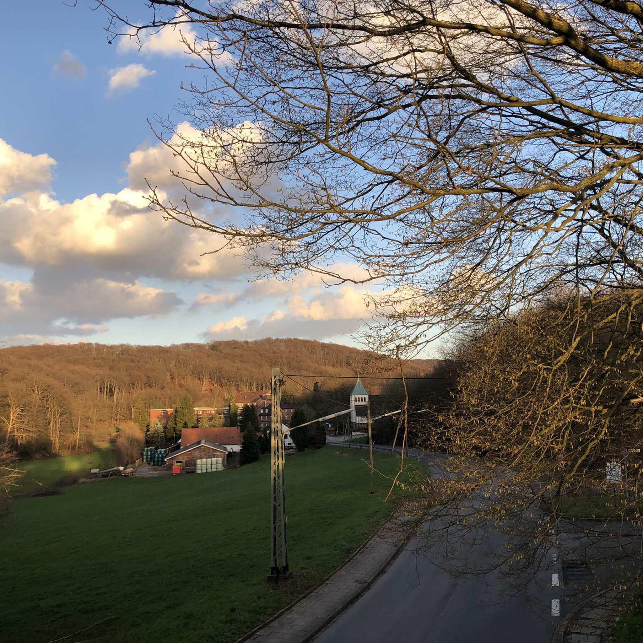
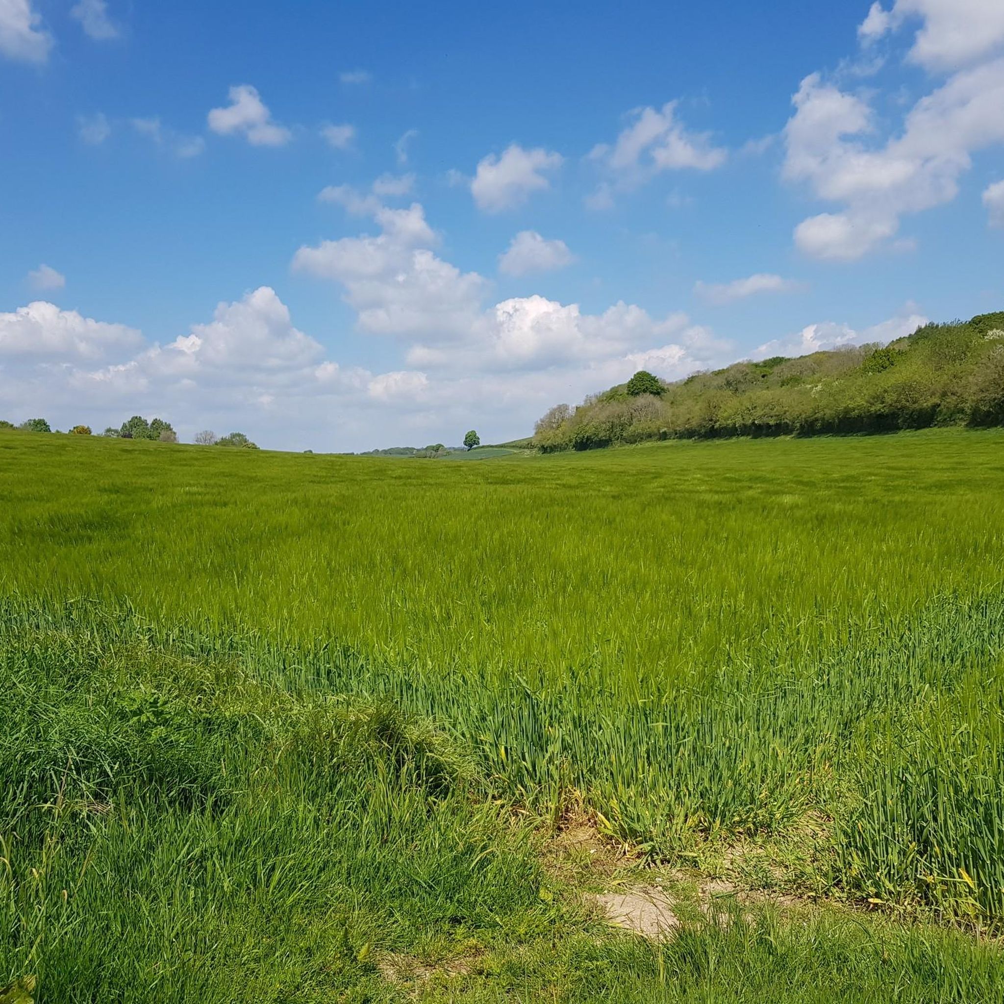
Once you're at this well-known junction, also known as the Dorsetshire Gap, it doesn't matter which direction you head because the landscape in this area is breathtaking.
0
0
Right next to the Wessex Ridgeway, near the Dorset Gap, you can see this square earthwork, approximately 25 meters in length on each side and 1 meter above the flat ground.
0
0

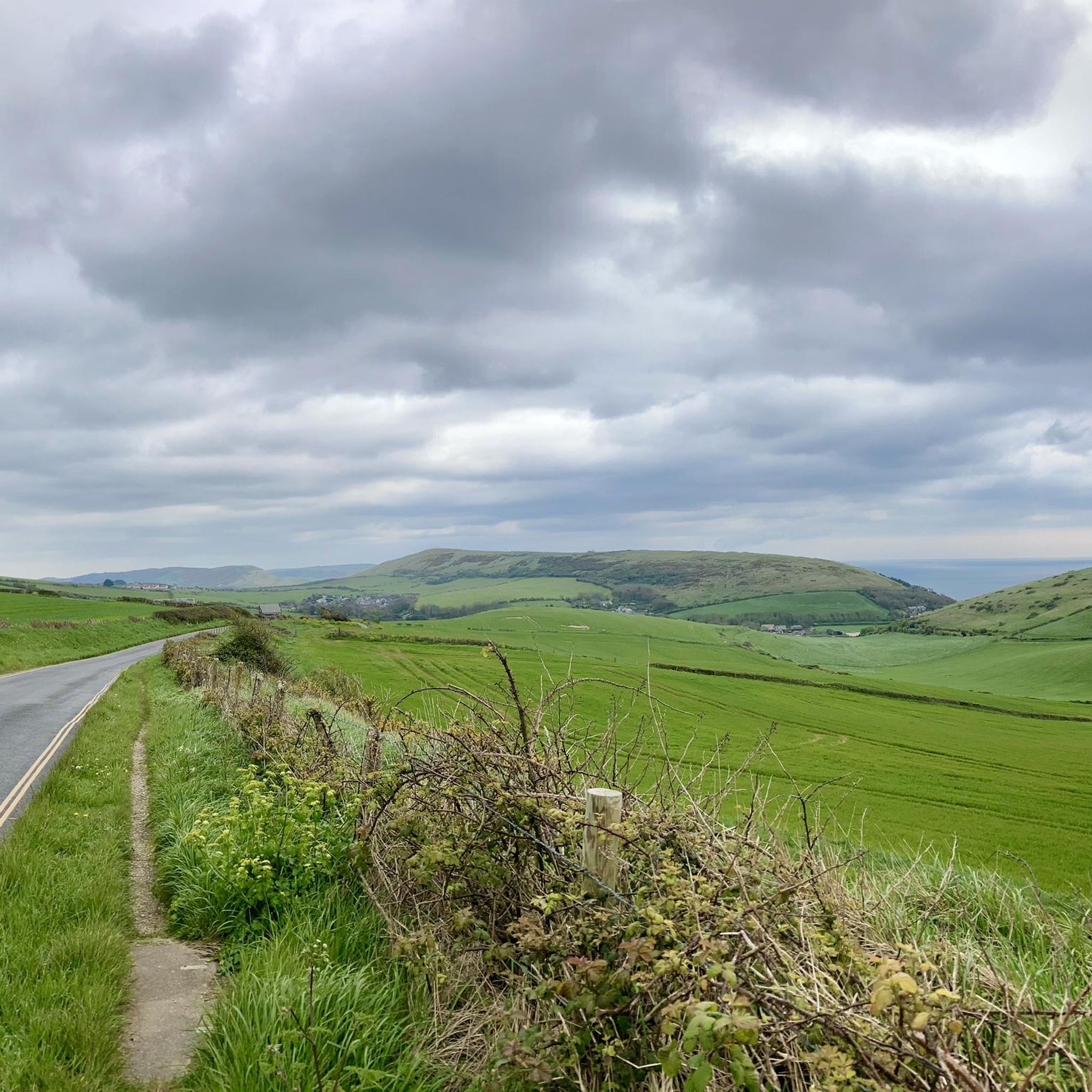
Bulbarrow Hill is situated within the Dorset Area of Outstanding Natural Beauty, which is known for its scenic landscapes and diverse ecosystems. The hill is part of the Dorset Downs, a range of chalk hills that extend across the county. It is one of the highest points in Dorset, with an elevation of around 274 meters (899 feet) above sea level. Due to its height, it provides panoramic views of the surrounding countryside, including the rolling hills, farmland, and picturesque villages that make up the Dorset landscape.
0
0

The Dorsetshire Gap is a very atmospheric location, very easy to imagine Medieval traders passing through it. Be aware that the bridleways too and from it are tough, the tracks marked on the maps may not exist on the ground, cycling can be hard an slow, Still worth a visit.
0
0

A square earthwork, about 25m each side, a raised bank about 1m above the flat surrounding ground, immediately adjacent to the Wessex Ridgeway. The reason for the earthworks has not yet been determined.
0
0

The Dorsetshire Gap is, or Dorset Gap as it's known for short, is a dip in the Dorset Downs chalk ridge between Nordon Hill and Nettleton Tout, close to the settlement of Higher Melcombe. A number of different bridleways run through and over this pass, including the ancient Wessex Ridgeway. It's thought that this point was part of a network of trading routes that date back as far as the Middle Ages.
1
0
バーレストンでのの人気観光スポット

komootモバイルアプリでインスピレーションを得よう


さらに探索
これらのガイドで、最高の洞窟を探す範囲を広げましょうバーレストンでの:
