ボワーチョークの天然記念物・トップ6
ボワーチョークが誇る美しい風景を見てみたいなら、ボワーチョークの素晴らしい天然記念物・トップ6
に行ってみましょう。あなたにぴったりの場所が見つかるよう、素晴らしい天然記念物を探索するために必要なすべての情報を集めました。次のアウトドアの冒険に出かける計画の参考にしましょう。
最終更新日: 8月 24, 2026
ウィン・グリーン山頂
ハイライト • 歴史的な場所
役立つ情報 は

Bokerley Dyke
ハイライト • トレイル
役立つ情報 は

今すぐサインアップして、こんな場所を発見しよう
最高のシングルトラック、ピーク、その他のエキサイティングなアウトドアスポットのおすすめを受け取ろう。
無料新規登録
Knowle Hill
ハイライト (セグメント) • 自然記念物
役立つ情報 は

役立つ情報 は

Whitsbury Castle
ハイライト • 展望台
役立つ情報 は
無料でサインアップして、さらに多くの自然記念物を発見しましょう ボワーチョークでの。
無料新規登録
すでにアカウントをお持ちですか?
無料アカウントで今日から始めよう
次の冒険が待っています。
ログインまたは登録


コミュニティからのヒント

Bokerley Dyke is a substantial linear earthwork, approximately 5.75 kilometers (3.6 miles) long, located on Cranborne Chase. It runs along part of the border between Dorset and Hampshire, specifically between Woodyates and Martin. It is part of a larger Scheduled Monument that also includes Grim's Ditch and other earthworks. The dyke has a multi-period history. It is believed to have originated in the Bronze Age or Early Iron Age as an important political and cultural boundary. In the 1st century, it was cut through by a Roman road, Ackling Dyke, which ran between Old Sarum and Badbury Rings. In the 4th century, the dyke was remodeled and brought back into use. During this period, the Roman road was blocked. A coin of Valens found during excavations dates this activity to shortly after 364 AD, with some sources suggesting it was built between 367-368 AD. This remodeling may have been a defensive measure against attacks on Britain by Picts, Scots, and Saxons. The Roman road was eventually reopened, but the dyke may have continued to be used as a boundary after the Roman administration ended. Today, it still forms part of the border between the counties of Dorset and Hampshire.
0
0

End of April is the best for bluebells
1
0
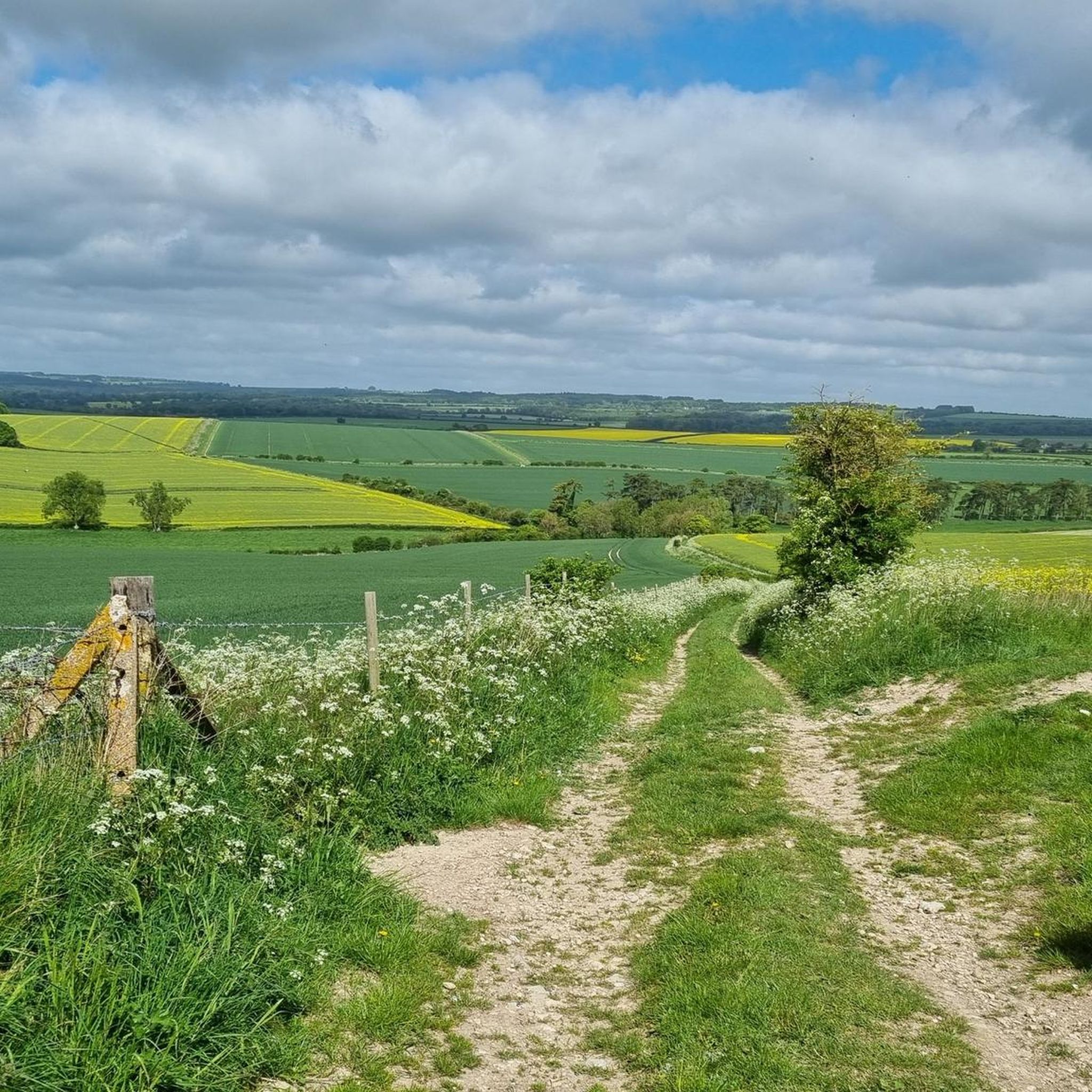
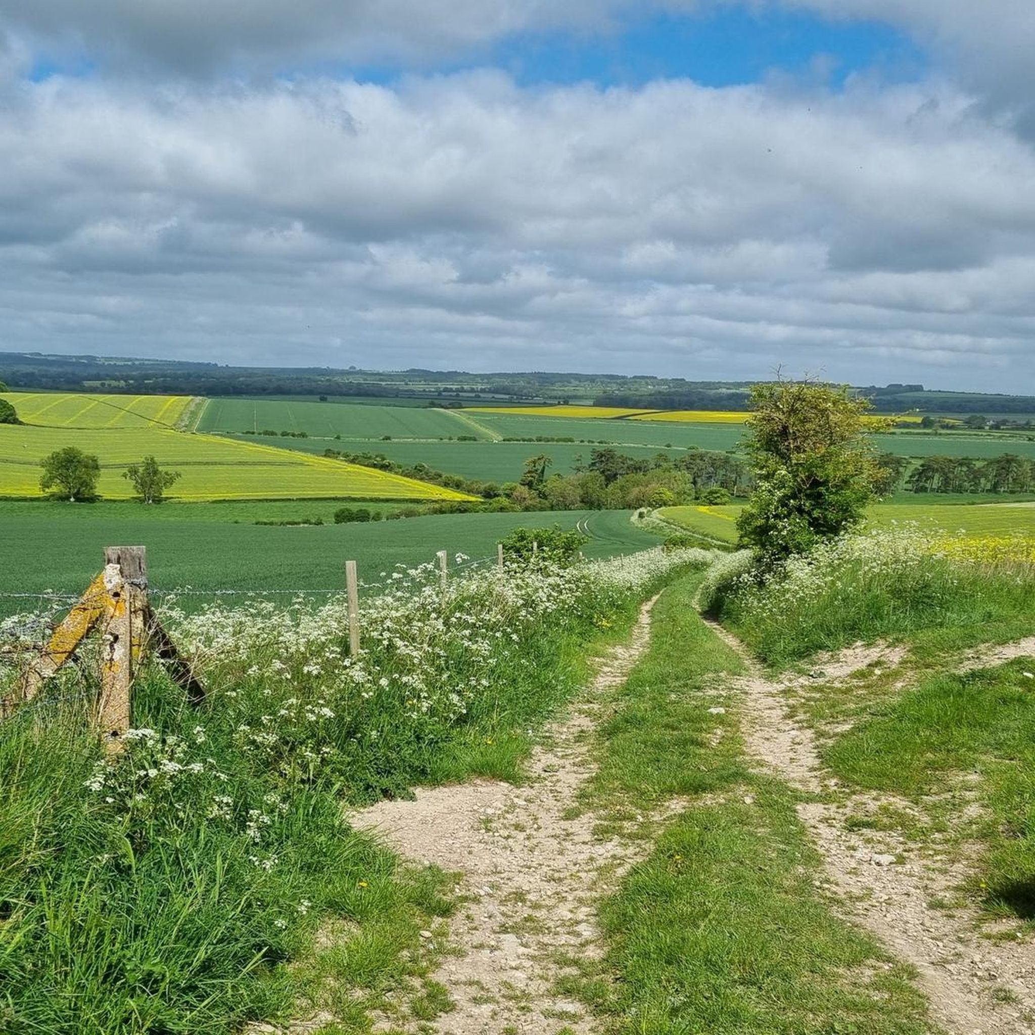
One of the most beautiful places in the south of England 🏴 and amazing views of Wiltshire and Dorset 🤩
0
0

Whitsbury Castle is an early Iron Age hill fort. The banks were reinforced in medieval times, but today are mostly tree covered. It's a nice place to run with a footpath going around the base.
1
0
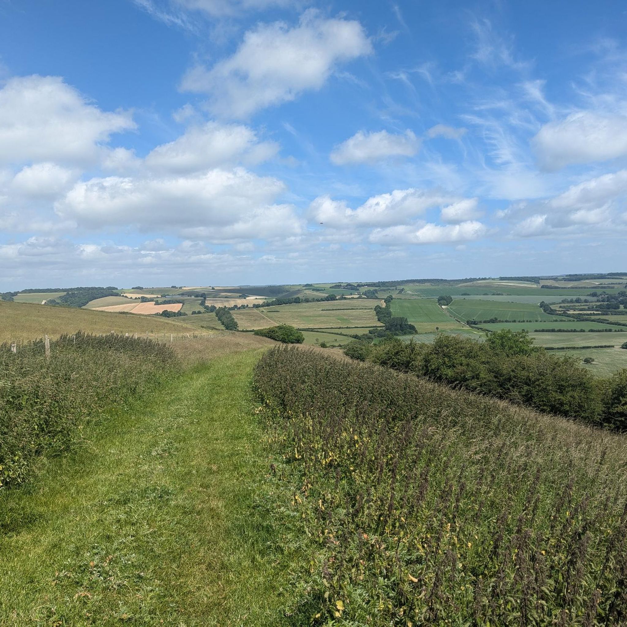
Win Green at 277 m is the highest point on Cranbourne Chase. The tree topped summit also has a Bronze Age hill barrow, topography stone and trig point. Lots of great running loops from here as well as easy parking close by.
0
0
Walk here in the spring to find carpets of bluebells under the trees. The woods are great for other wildflowers as well, such as celandines, primroses and the tall spears of great mullein and foxgloves.
1
0
Win Green hill at 277m is the highest point on Cranborne Chase. The trig point affords panoramic views apart from the bit blocked by the little clump of trees on the summit. The beech trees are growing on a Bronze Age bowl barrow. It's managed by the National Trust and is often busy because it's close to a car park. Still very nice though!
0
0

Bokerley Dyke may have originated in the Bronze Age or Early Iron Age and formed a political and cultural boundary. It was cut through by a Roman Road (Ackling Dyke running between Old Sarum and Badbury Rings) in the 1st century.
0
0
ボワーチョークでのの人気観光スポット

komootモバイルアプリでインスピレーションを得よう


さらに探索
これらのガイドで、最高の洞窟を探す範囲を広げましょうボワーチョークでの:
