グランヴィラールの絶景の山頂・トップ20
絶景を目指して登るのであれ、達成感のために登るのであれ、山頂を訪れることで、グランヴィラールの美しい自然をもっと満喫することができます。20
もの選択肢の中から、制覇する山頂を決めるのは簡単ではありません。スムーズに次の冒険で目指す山頂を選べるように、グランヴィラールの素晴らしい山頂をこのガイドにまとめました。
最終更新日: 9月 13, 2026
モレゾン山頂
ハイライト • 山頂
役立つ情報 は

ドン・ド・ブロック
ハイライト • 山頂
翻訳者 Google •
役立つ情報 は

今すぐサインアップして、こんな場所を発見しよう
最高のシングルトラック、ピーク、その他のエキサイティングなアウトドアスポットのおすすめを受け取ろう。
ワンドフリュー山頂
ハイライト • 山頂
翻訳者 Google •
役立つ情報 は

ヴァニル・ノワール山頂
ハイライト • 山頂
翻訳者 Google •
役立つ情報 は

Vanil des Cours
ハイライト • 山頂
翻訳者 Google •
役立つ情報 は
無料でサインアップして、さらに多くの山を発見しましょう グランヴィラールでの。
すでにアカウントをお持ちですか?


コミュニティからのヒント


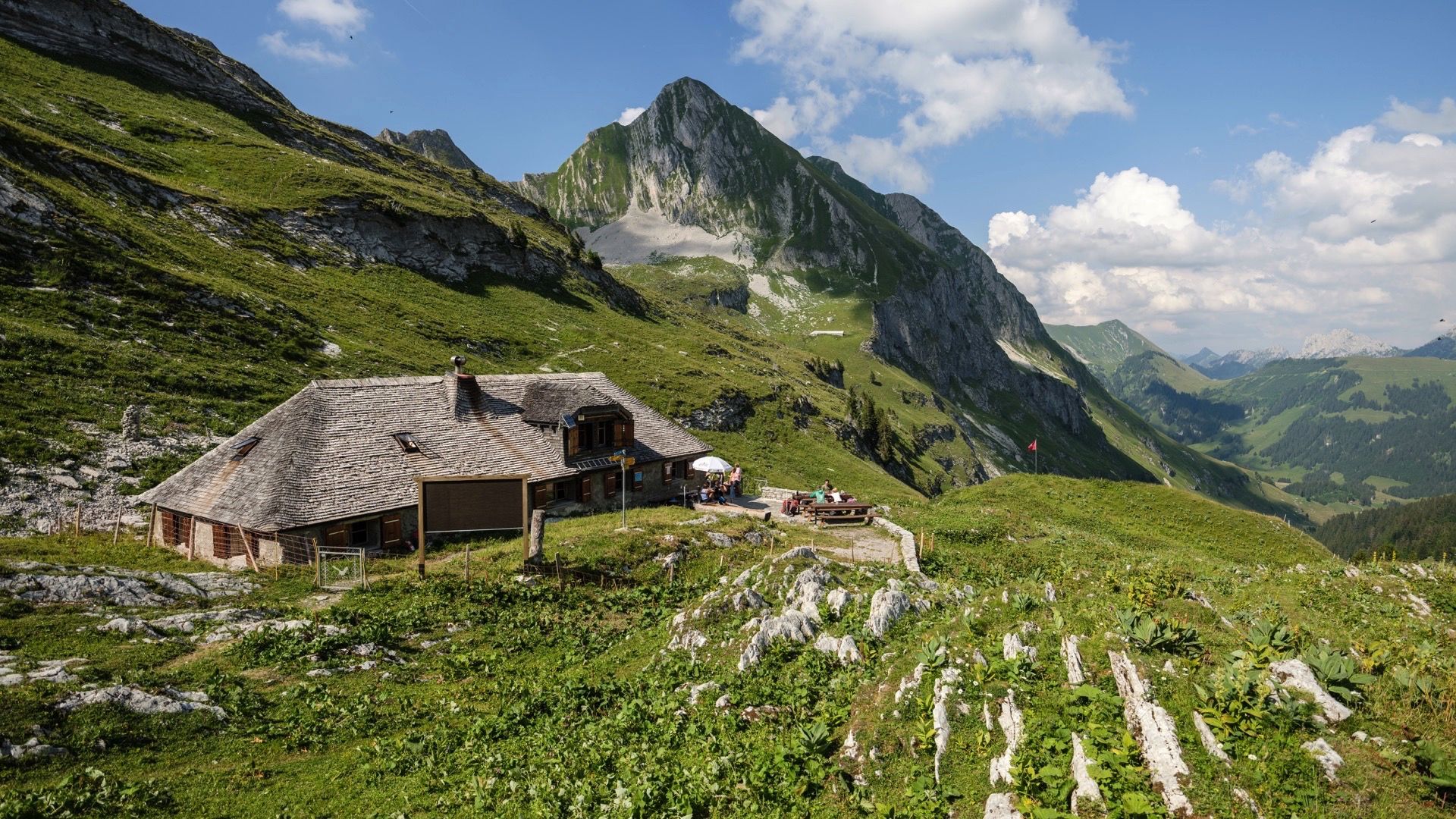
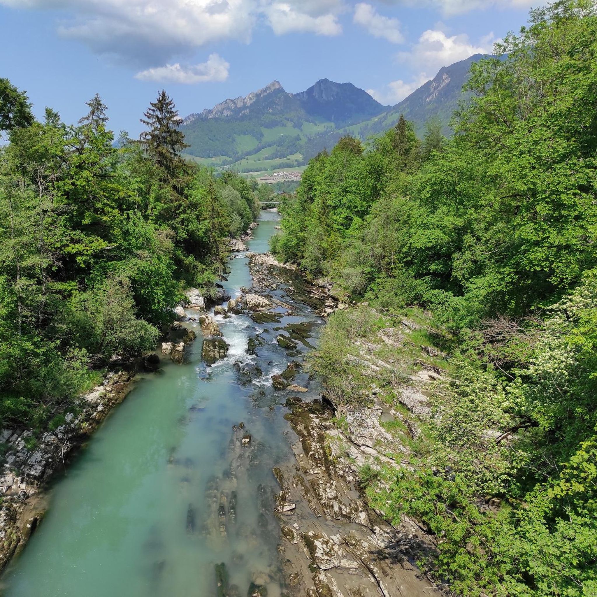
360度のパノラマ 頂上からは、巨大なパノラマビューを楽しめます。 北側:きらめくレマン湖とジュラ山脈までのミッテランド全域。 南側と東側:モンブラン山塊とベルナーアルプスの雄大な頂。 🍴 ガストロノミー&天文台 頂上レストラン:モダンなレストラン「Le Sommet」は、山の駅のすぐ隣にあります。大きな展望テラスがあり、地元の特産品(本物のグリュイエールフォンデュなど)を提供しています。 🚡 頂上への道 快適なルート(鉄道):モルソン・ヴィレッジからケーブルカーでプラン・フランセまで行き、そこで大きなロープウェイに乗り換えると、直接頂上へ行けます。 スポーツルート(ハイキングコース): 西側の斜面を越えて:プラン・フランセからの美しいクラシックな登山道(約1時間45分、T2)。 尾根道を通って:クライミングコース(Le PilierまたはLa Face)を登る人は、出口から約20分で壮大な安全な尾根道を通って主峰に到達します。
1
0

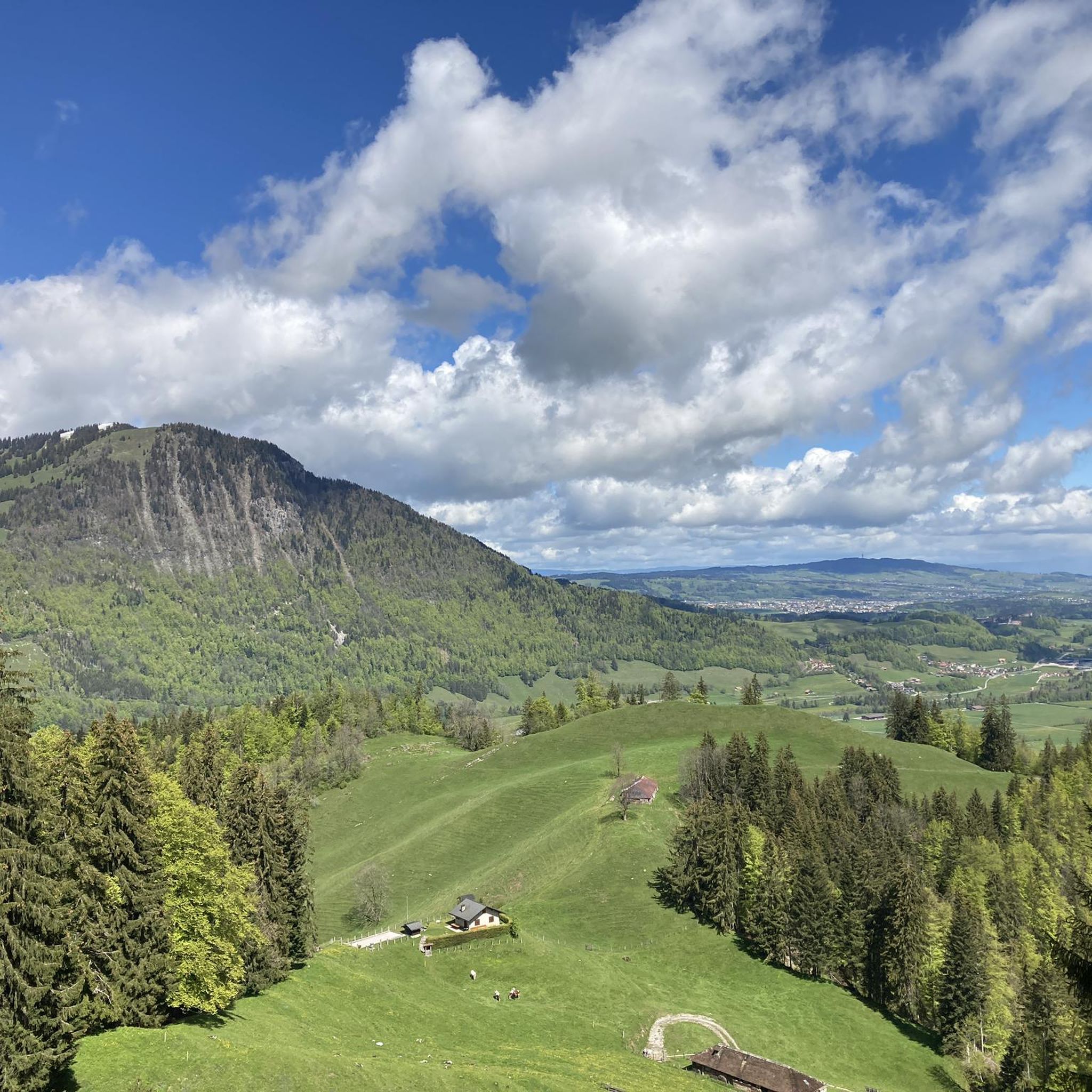
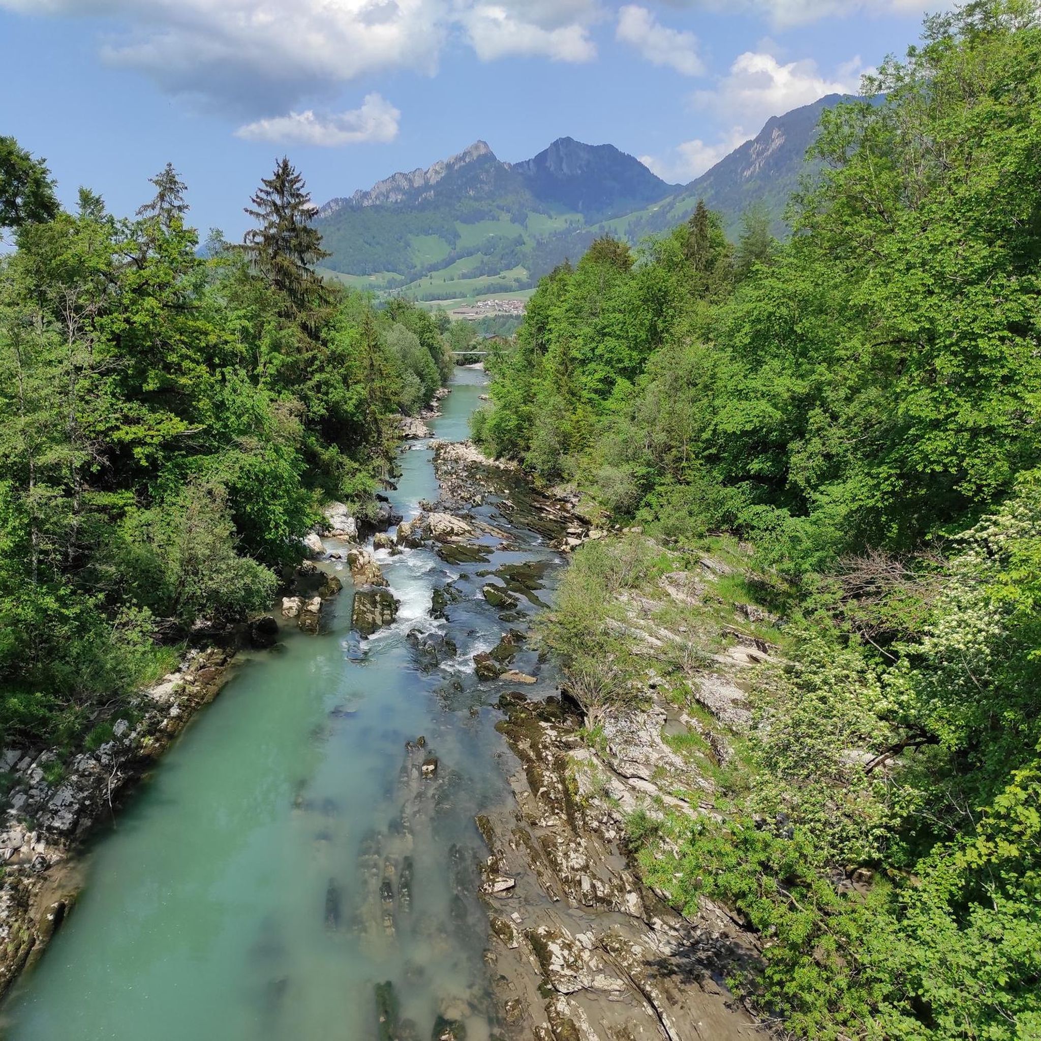
The Vanil des Cours is a small wooded massif which dominates the eastern shore of Lake Gruyère, in the Friborg region, in Switzerland. It is an ideal destination for runners who want to enjoy panoramic views of the surrounding countryside and mountains. Along the road to this peak, you can admire the lush forest and rocky cliffs that flank the west side of the massif. Le Vanil des Cours is the ideal place to discover the natural beauty and cultural heritage of Gruyère.
2
0
Vanil Noir is the highest peak in the Friborg Prealps, a mountain range in Switzerland. It is also a nature reserve that is home to a rich biodiversity of flora and fauna. From the summit, you will enjoy breathtaking views of the Gruyère and Pays d'Enhaut regions, as well as the neighboring peaks of Vanil du Van and Tête de l'Herbette. The level of alpine difficulty of Vanil Noir varies depending on the route chosen. The most common route, from Grandvillard to the Bounavaletta pass and then to the north ridge, is classified T4+1, which means that it is a demanding mountain hike that requires good physical condition, a sure footed and some experience of alpine terrain. The route has exposed sections that are secured with steel cables and chains, but also unsecured sections that are steep and precarious. The route should not be taken in wet or snowy weather as it can become very slippery and dangerous. Other routes, such as crossing the Tête de l'Herbette or climbing the Grande Raye, are even more difficult and require climbing skills and equipment. Vanil Noir is a challenging but rewarding mountain for adventurous thrill-seeking hikers.
4
0
The Vanil des Cours is a small wooded massif which dominates the eastern shore of Lake Gruyère, in the Friborg region, in Switzerland. It is an ideal destination for hiking enthusiasts who want to enjoy panoramic views of the surrounding countryside and mountains. Along the road leading to this peak, you can admire the lush forest and rocky cliffs that flank the western side of the massif. Le Vanil des Cours is the ideal place to discover the natural beauty and cultural heritage of Gruyère.
2
0

Top view that you have to earn through the climb.
1
0


Very popular summit as it is easily accessible via the funicular to Plan-Francey and from there by cable car to Moléson. From the mountain station, the summit is only about 200m away with a good 30 meters in altitude. Most of the time there are many people on the mountain. A little further away from the mountain station you have peace and quiet again.
3
5

komootモバイルアプリでインスピレーションを得よう


さらに探索
これらのガイドでさらに素晴らしい頂上を見てみましょうグランヴィラールでの:
