グランヴィラールのおすすめウォーキング&ハイキングルート
4.5
(251)
2,761
ハイカー
23
ハイキング
グランヴィラール周辺でのハイキングは、景色を満喫するのに最適な手段のひとつですが、適切なハイキングルートを見つけることは簡単ではありません。 グランヴィラール周辺の人気ハイキング&ウォーキングコースを参考にすれば、行きたいルートをすぐに見つけられます。
最終更新日: 10月 10, 2026
4.8
(17)
290
ハイカー
10.9km
05:59
1,170m
1,170m
難しいハイキング. 標準以上のフィットネスレベルが必要です。 安定して歩行できる技術、丈夫な靴、高標高地での登山経験が必要です。
5.0
(6)
171
ハイカー
9.39km
05:06
1,030m
1,030m
難しいハイキング. 標準以上のフィットネスレベルが必要です。 安定して歩行できる技術、丈夫な靴、高標高地での登山経験が必要です。

4.3
(8)
56
ハイカー
7.25km
03:31
630m
630m
中程度のハイキング. ある程度のフィットネスレベルが必要です。 全般的に進みやすいルートです。安定して歩行できる技術が必要です。
4.4
(10)
35
ハイカー
6.60km
02:17
360m
360m
中程度のハイキング. ある程度のフィットネスレベルが必要です。 進みやすいルートです。あらゆるスキルレベルに適しています。
26
ハイカー
14.5km
07:10
1,310m
1,320m
難しいハイキング. 標準以上のフィットネスレベルが必要です。 安定して歩行できる技術、丈夫な靴、高標高地での登山経験が必要です。
さらに多くのルートや他のユーザーのおすすめ情報を確認できます。
すでにアカウントをお持ちですか?
おすすめのツアーは他のkomootユーザーが実際に経験した何千ものアクティビティに基づいています。
無料アカウントで今日から始めよう
次の冒険が待っています。

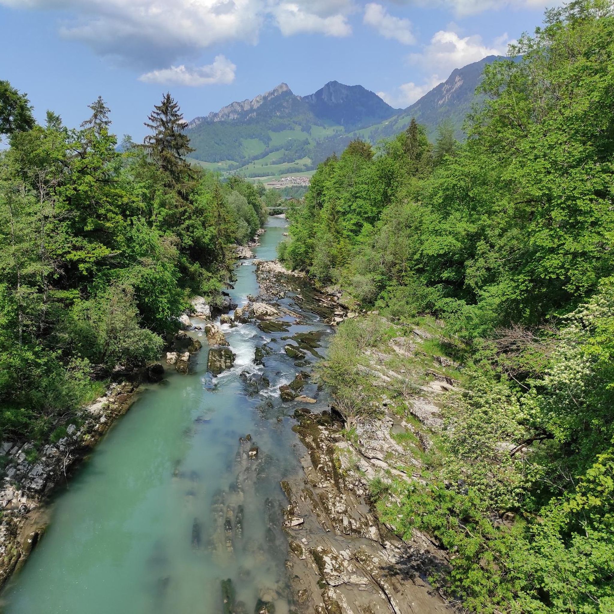
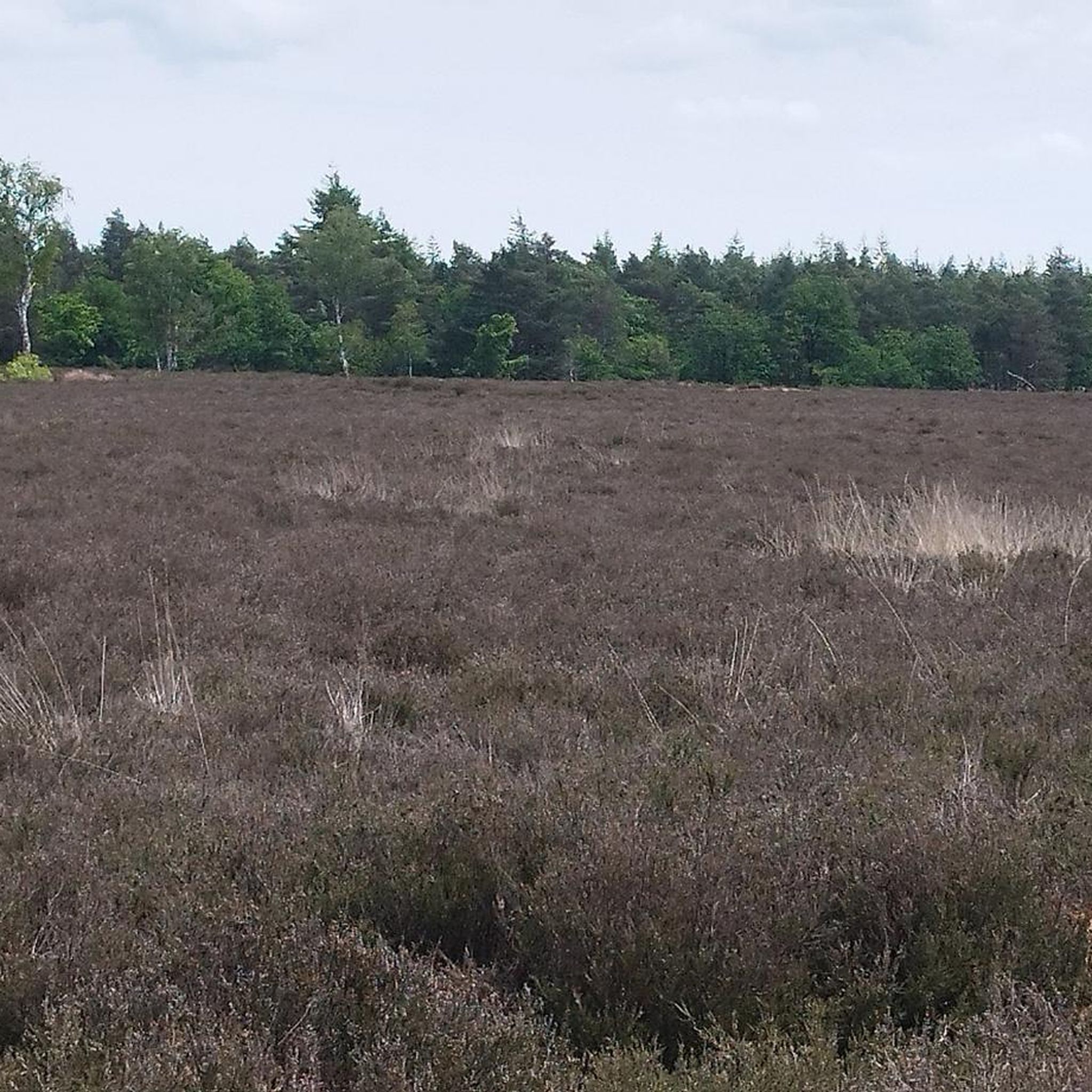

コミュニティからのヒント


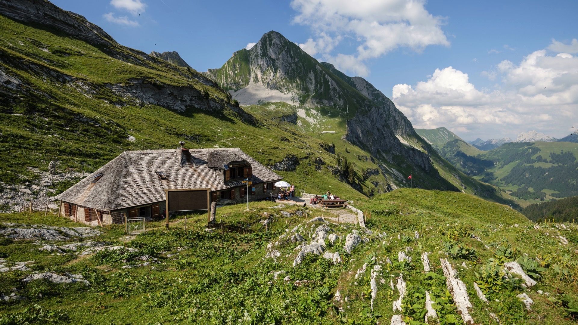
Viewpoint of Bourgo and Merlas, a superb ridge and an incredible view of Brenleires and Vanil Noir.
0
0

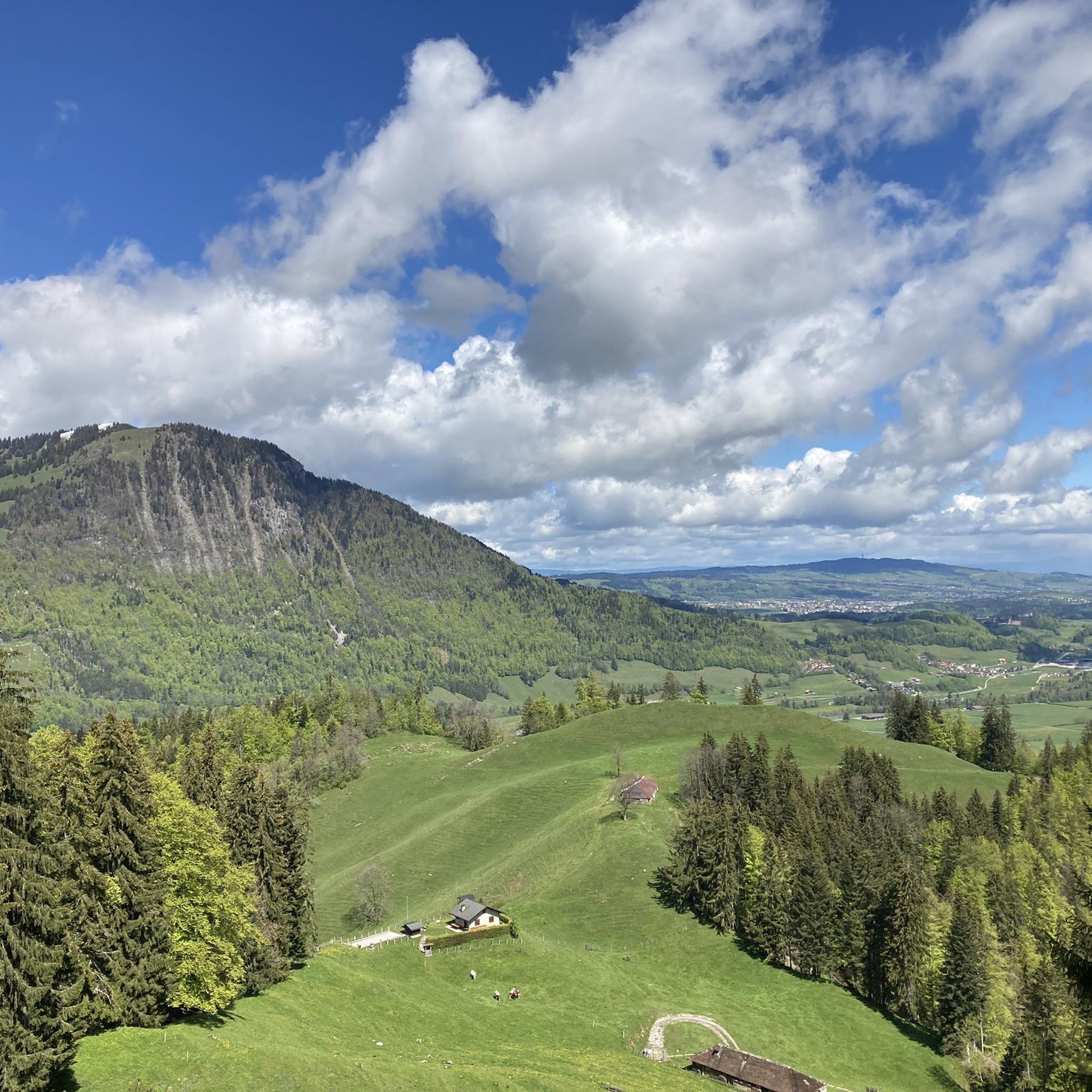
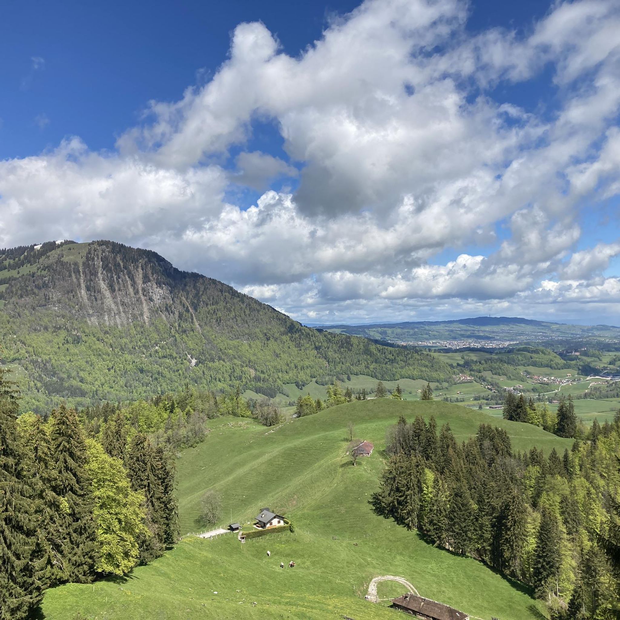
Les Baudes, Grandvillard is a beautiful destination for trail running in the Friborg region of Switzerland. It is an excellent starting point for a run around the Cuâ and to visit Lake Coudré.
2
0
Lac de Coudré is a small mountain lake located in the canton of Fribourg, Switzerland. It is an ideal destination for hikers who enjoy scenic views and bird watching. The lake is accessible by a circular path which leaves from the Baudes car park, near Grandvillard. The lake is a peaceful place to relax and admire nature. You may be able to spot rare birds, such as the black grouse or the golden eagle. Lake Coudré is a hidden gem that deserves to be discovered.
2
0
Les Merlas is a peak in the Swiss Alps, near the village of Grandvillard. This is a picturesque hike along a well-defined ridge, with views of Gruyères Castle and the Vanil Noir massif. The hike is rated T3, meaning it requires a bit of endurance and confidence, but no special equipment. At the top of Les Merlas you will find a wooden cross and a guest book that hikers can sign. The hike can be combined with two neighboring peaks, Le Van and Tsermon, for a longer and more challenging loop.
2
0
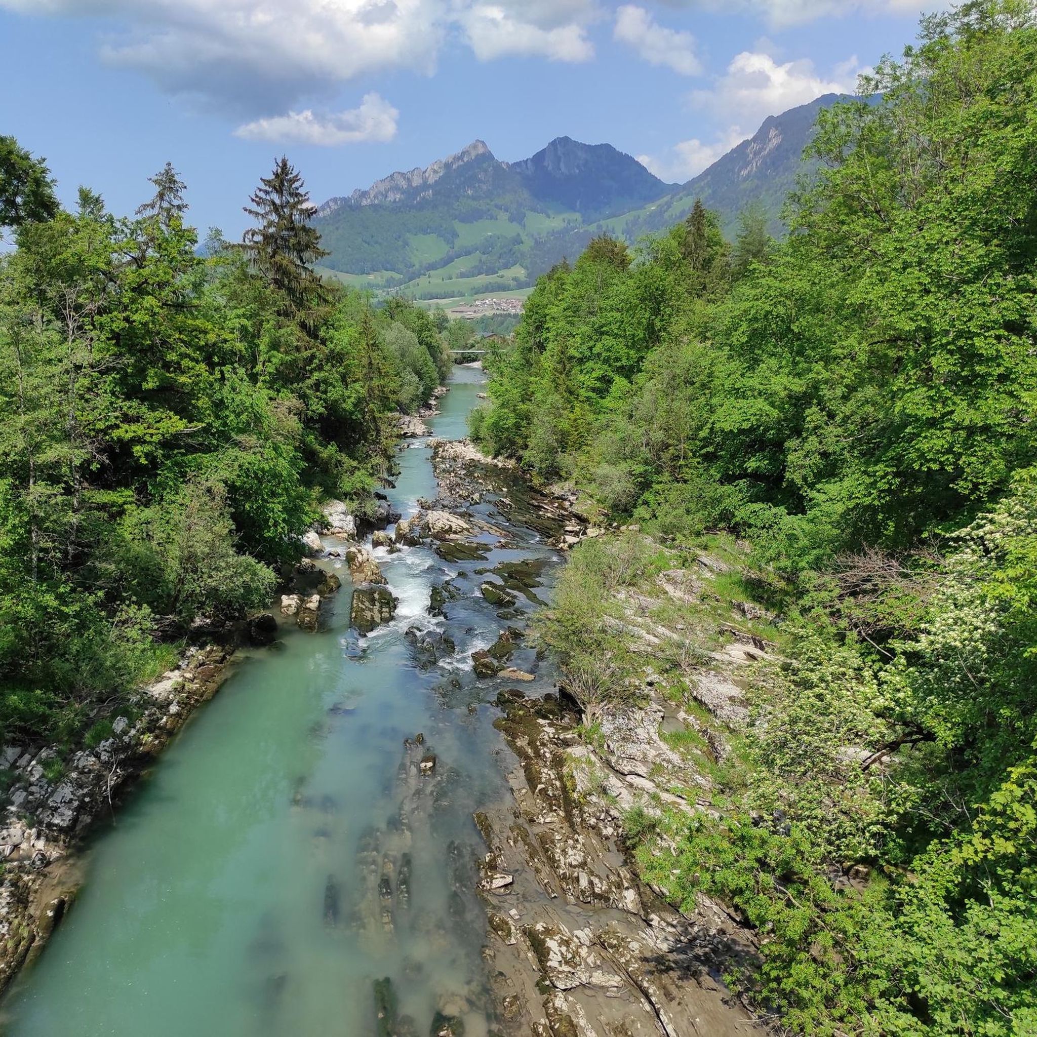
Le Vanil du Van is a modest but picturesque mountain in the Gruyère region of Switzerland. It offers a breathtaking view of the Friborg Pre-Alps, such as the Vanil ridge, the Dents de Brenleire and Follieran, and the Dent de Broc. You can walk to the summit of Vanil du Van (1907 m) from the village of Estavannens, following the signs for Les Merlas or La Chia. Once you arrive at the summit, you can admire the panorama and the cross which marks the summit. Le Vanil du Van is an ideal destination for a relaxing and rewarding hike in the Swiss countryside.
2
0

komootモバイルアプリでインスピレーションを得よう


さらに探索
他の地域の最高のハイキングを見てみましょう。
