グリュイエール地区の絶景の山頂・トップ20
絶景を目指して登るのであれ、達成感のために登るのであれ、山頂を訪れることで、グリュイエール地区の美しい自然をもっと満喫することができます。20
もの選択肢の中から、制覇する山頂を決めるのは簡単ではありません。スムーズに次の冒険で目指す山頂を選べるように、グリュイエール地区の素晴らしい山頂をこのガイドにまとめました。
最終更新日: 9月 13, 2026
ラ・ベラ山頂
ハイライト • 山頂
翻訳者 Google •
役立つ情報 は

モレゾン山頂
ハイライト • 山頂
役立つ情報 は

今すぐサインアップして、こんな場所を発見しよう
最高のシングルトラック、ピーク、その他のエキサイティングなアウトドアスポットのおすすめを受け取ろう。
ドン・ド・ブロック
ハイライト • 山頂
翻訳者 Google •
役立つ情報 は

クジンベール山頂
ハイライト • 山頂
翻訳者 Google •
役立つ情報 は
ヴーネッツェ山頂
ハイライト • 山頂
翻訳者 Google •
役立つ情報 は

パトラフロン山頂
ハイライト • 山頂
翻訳者 Google •
役立つ情報 は
ヴァニル・ノワール山頂
ハイライト • 山頂
翻訳者 Google •
役立つ情報 は
Vanil des Cours
ハイライト • 山頂
翻訳者 Google •
役立つ情報 は
Balisa/山小屋カフェ&アルプスチーズ工房
ハイライト • 山小屋
Buvette for eating and drinking. Also has direct sales of, for example, Alpkäse.
翻訳者 Google •
役立つ情報 は
Buvette du Gros Cousimbert
ハイライト • 山小屋
gros-cousimbert.ch/events
翻訳者 Google •
役立つ情報 は
無料でサインアップして、さらに多くの山を発見しましょう グリュイエール地区での。
すでにアカウントをお持ちですか?
無料アカウントで今日から始めよう
次の冒険が待っています。
グリュイエール地区周辺で人気

スイスのバイクパッキング希望1000の11ステージ
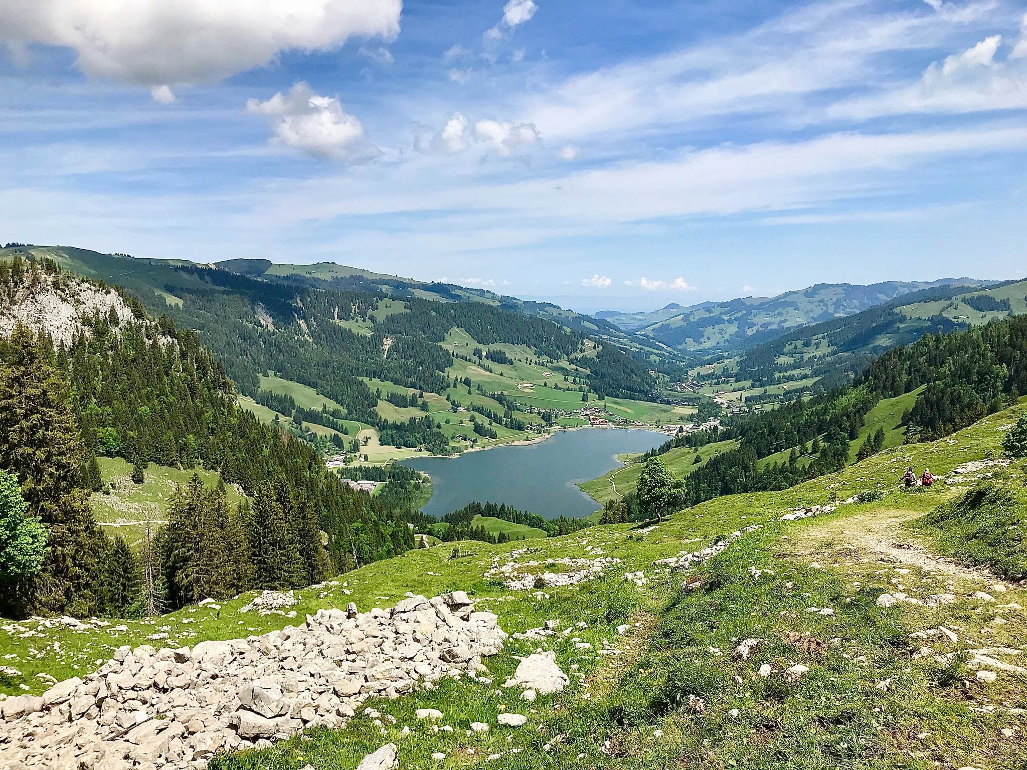
言語境界沿いのハイキング – フライブルク前アルプストレイル

山へ視線を向けてください - スイスのアルペンパノラマトレイル
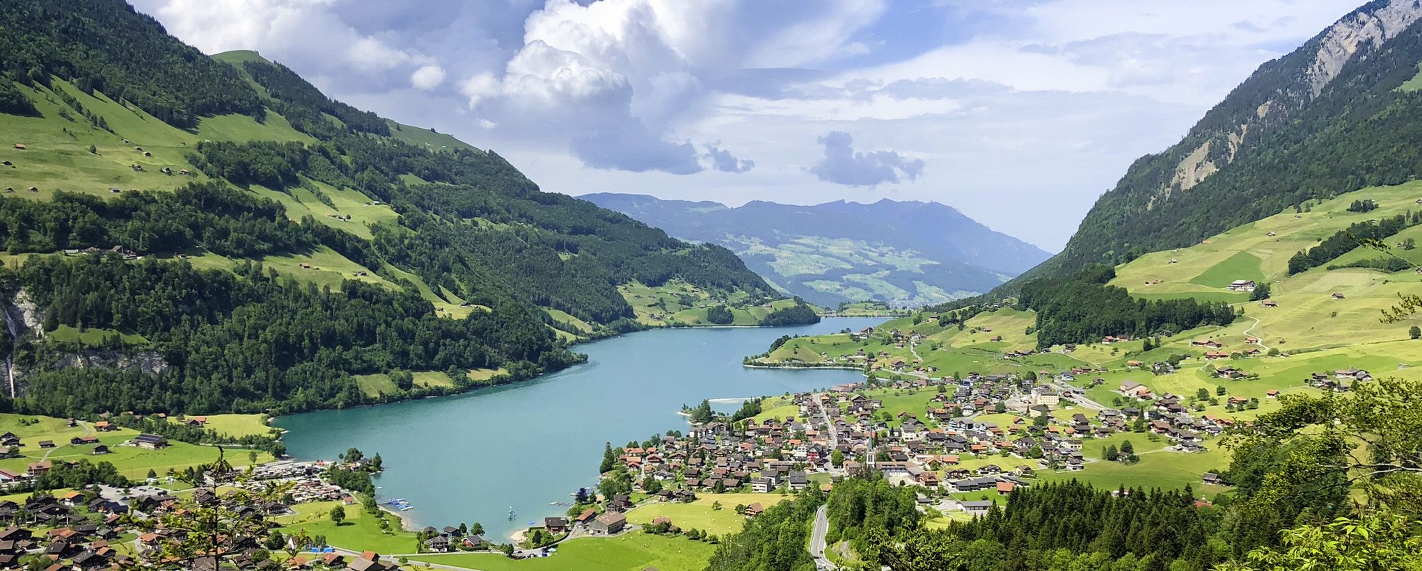
スイスアルプス前山地の画集のような景色 – レイクスルート
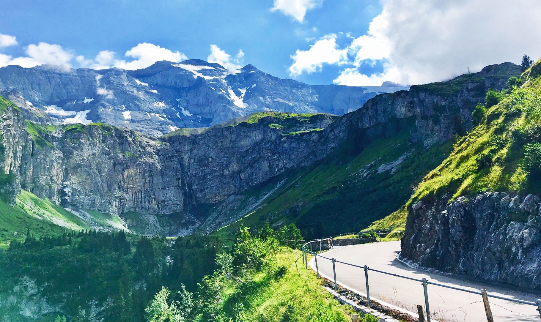
8 アルプスの麓を通るステージ — アルプスパノラマルート
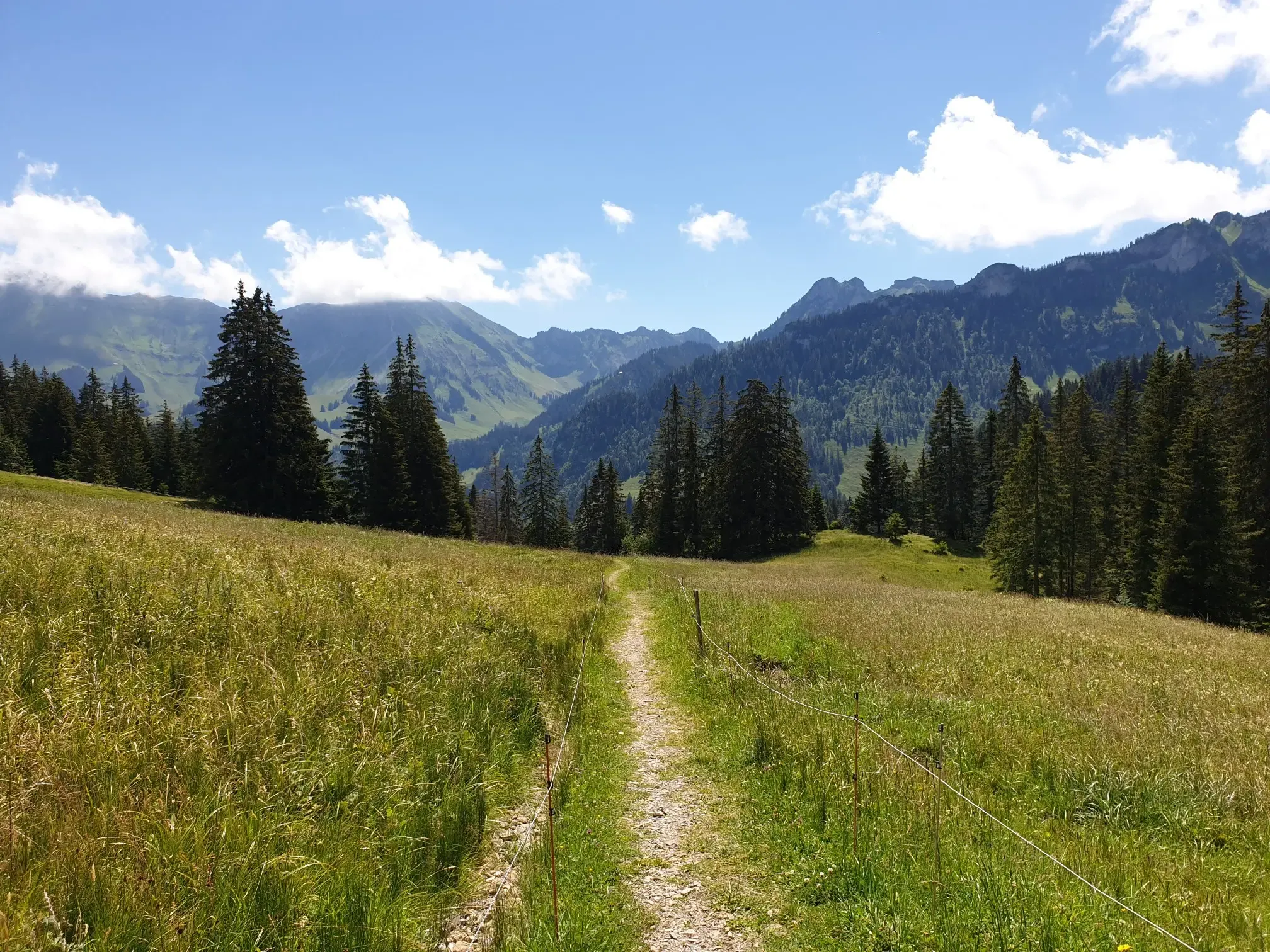
Peaks, Trails and Fun – MTB in the foothills of the Freiburg Prealps
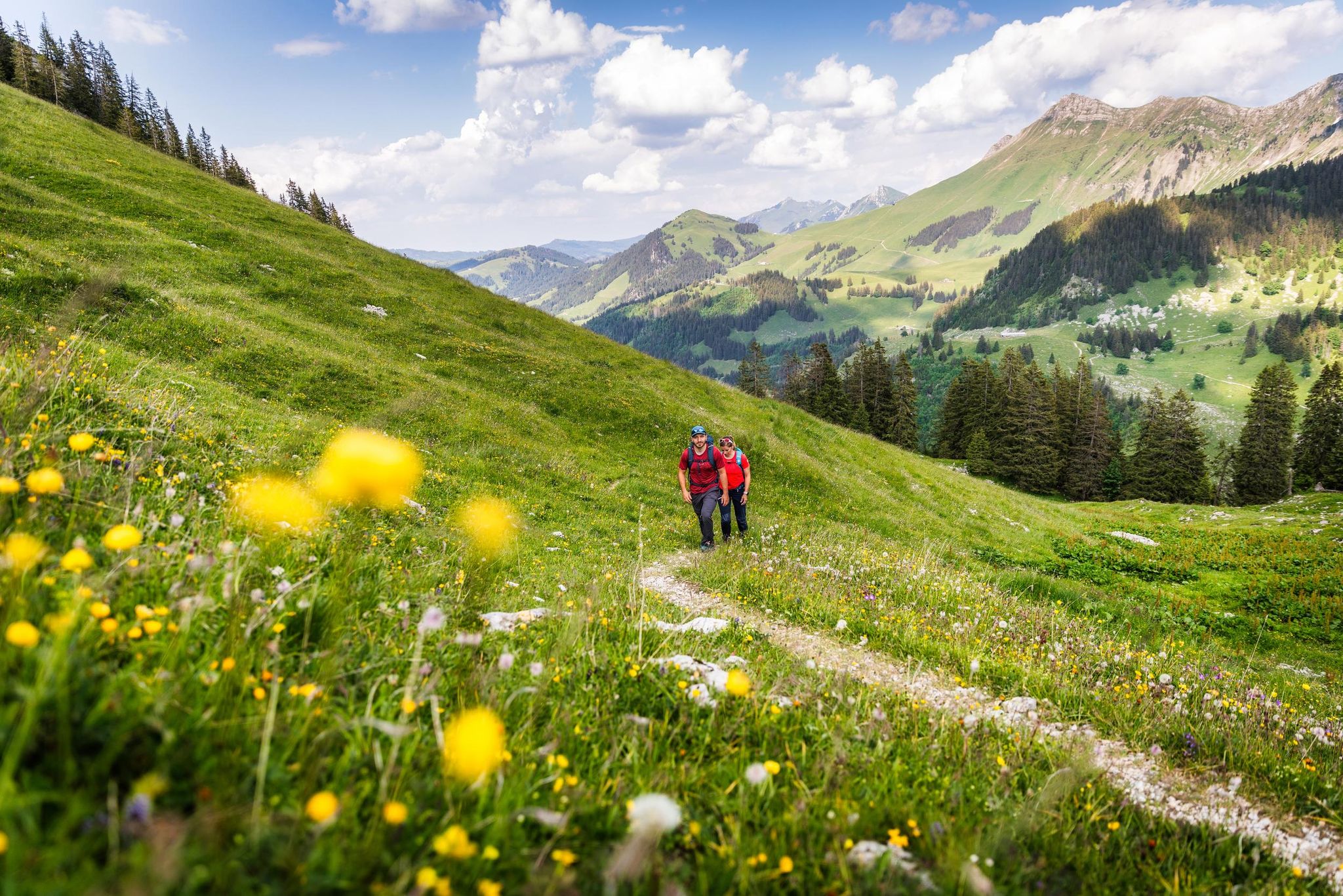
Your summer hikes in the Fribourg Region
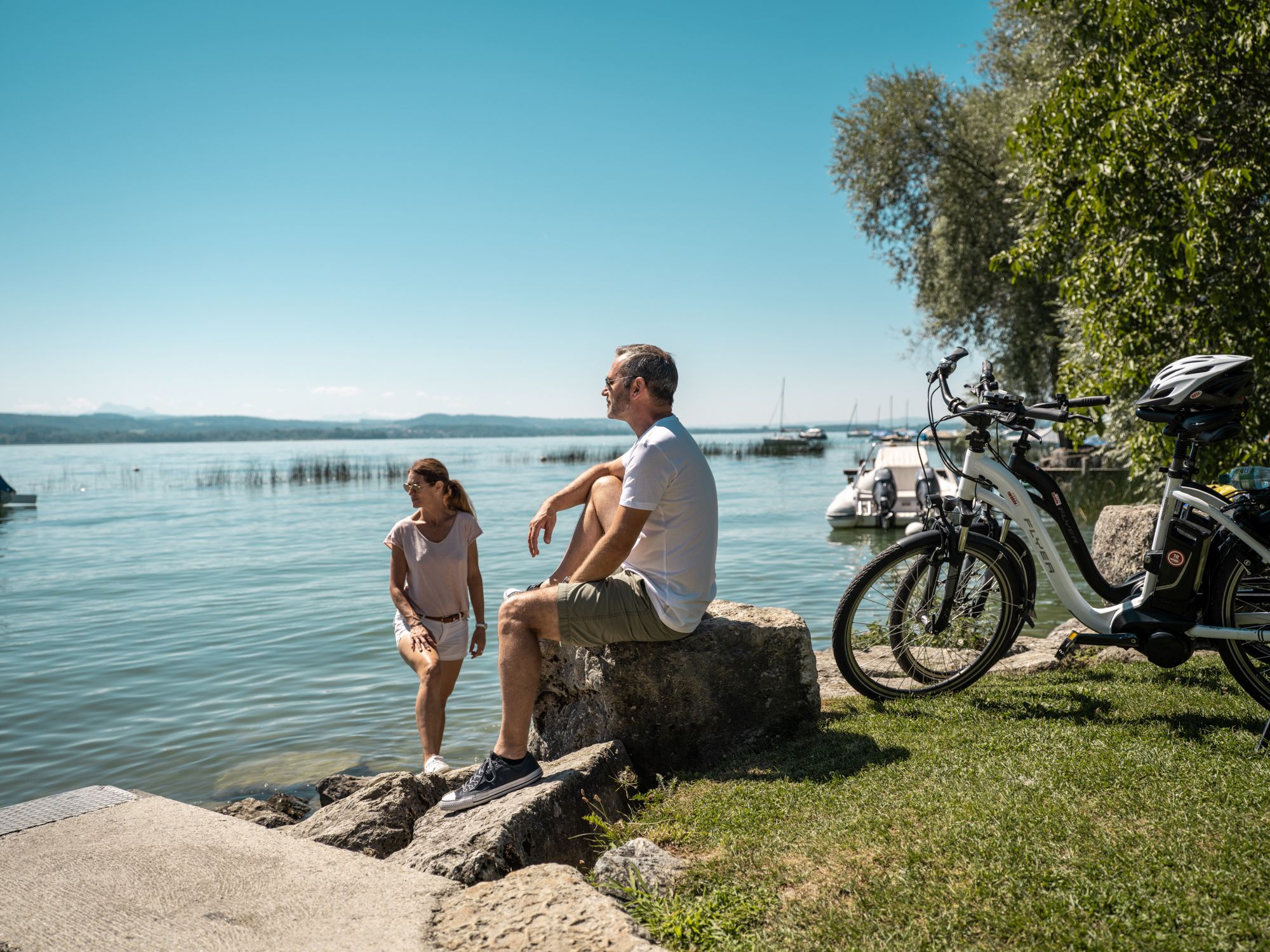
Cycling between lakes, castles and mountains in the Fribourg region
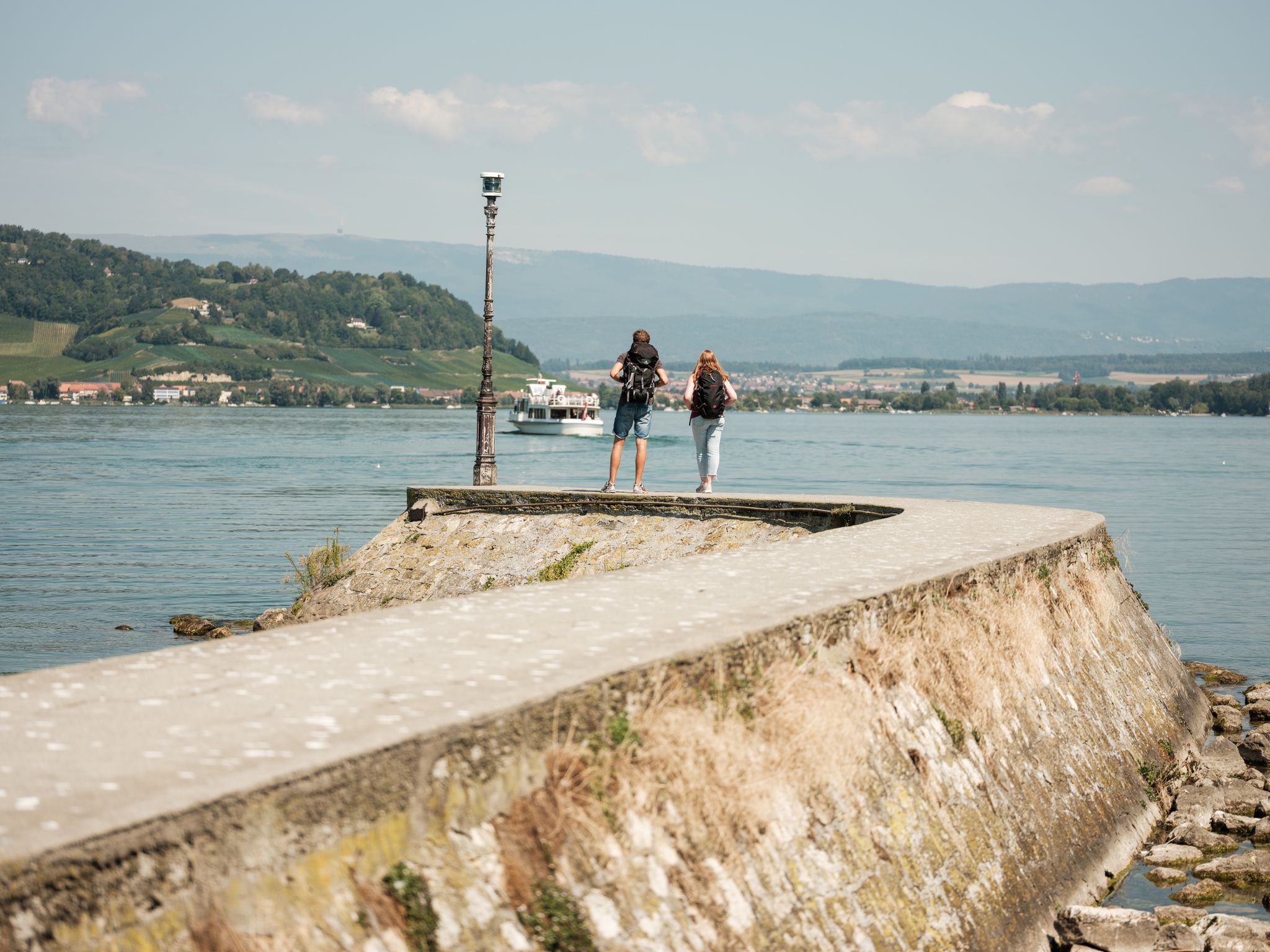
«Fribourg en diagonale» - フリブール州を縦断する
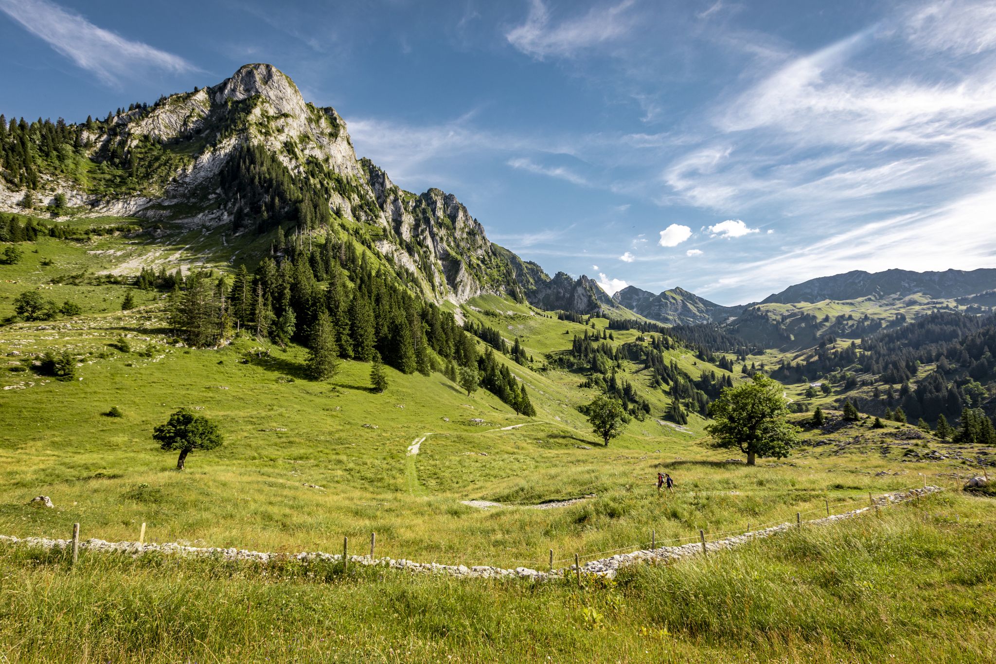
ストックとシュタイン - フライブルクの前アルプス道
グリュイエール地区でのの他の冒険


コミュニティからのヒント

ラ・ベラ(1,719 m)は、フリブール・プレアルプスの最も美しい展望の良い頂の一つです。頂上からは、グルイエール湖、周辺のジュラ山脈、そして空気が澄んでいればベルナー・アルペンやヴォー・アルペンまで見渡せます。いくつかのハイキングコースが頂上まで続いています。特に魅力的なのは、広大な高山の牧草地を巡る周回ハイキングです。
4
0


360度のパノラマ 頂上からは、巨大なパノラマビューを楽しめます。 北側:きらめくレマン湖とジュラ山脈までのミッテランド全域。 南側と東側:モンブラン山塊とベルナーアルプスの雄大な頂。 🍴 ガストロノミー&天文台 頂上レストラン:モダンなレストラン「Le Sommet」は、山の駅のすぐ隣にあります。大きな展望テラスがあり、地元の特産品(本物のグリュイエールフォンデュなど)を提供しています。 🚡 頂上への道 快適なルート(鉄道):モルソン・ヴィレッジからケーブルカーでプラン・フランセまで行き、そこで大きなロープウェイに乗り換えると、直接頂上へ行けます。 スポーツルート(ハイキングコース): 西側の斜面を越えて:プラン・フランセからの美しいクラシックな登山道(約1時間45分、T2)。 尾根道を通って:クライミングコース(Le PilierまたはLa Face)を登る人は、出口から約20分で壮大な安全な尾根道を通って主峰に到達します。
1
0

Also beautiful in winter, but then the alpine pasture is closed.
0
0

Destination of various snowshoe tours (271, ...)
0
0


Cousimbert is a summit in the Swiss canton of Fribourg, with an altitude of 1,633 meters. It offers a breathtaking view of Lake Gruyère and the surrounding Alps. One of the best ways to enjoy this scenic spot is to hike the Cousimbert Circular Trail, a moderate 5.8-mile loop that leaves from the Grau Rappo parking lot and passes several alpine huts where you can sample local specialties. The trail is suitable for running and is best visited from May to October. If you're looking for a challenge, you can also extend your run to the nearby peak of La Berra, which is 1,719 meters high and has a cable car station. Whether you choose the shortest or longest route, you will be rewarded with breathtaking views and a memorable experience.
2
0
The Vanil des Cours is a small wooded massif which dominates the eastern shore of Lake Gruyère, in the Friborg region, in Switzerland. It is an ideal destination for runners who want to enjoy panoramic views of the surrounding countryside and mountains. Along the road to this peak, you can admire the lush forest and rocky cliffs that flank the west side of the massif. Le Vanil des Cours is the ideal place to discover the natural beauty and cultural heritage of Gruyère.
2
0
グリュイエール地区でのの人気ルート

komootモバイルアプリでインスピレーションを得よう


探していたものは見つかりませんでしたか?
グリュイエール地区の最高の山や頂上を地域ごとに発見しましょう:
さらに探索
これらのガイドでさらに素晴らしい頂上を見てみましょうグリュイエール地区での:
