ブリーツィヒの湖・トップ4
次の冒険でブリーツィヒの素晴らしい湖を訪れてみませんか?湖畔の穏やかな雰囲気や、天気が良い日のひと泳ぎは格別です。komootコミュニティがおすすめするブリーツィヒの素晴らしい湖の一覧を参考にして、次の冒険では湖をもっと満喫しましょう。
最終更新日: 7月 24, 2026
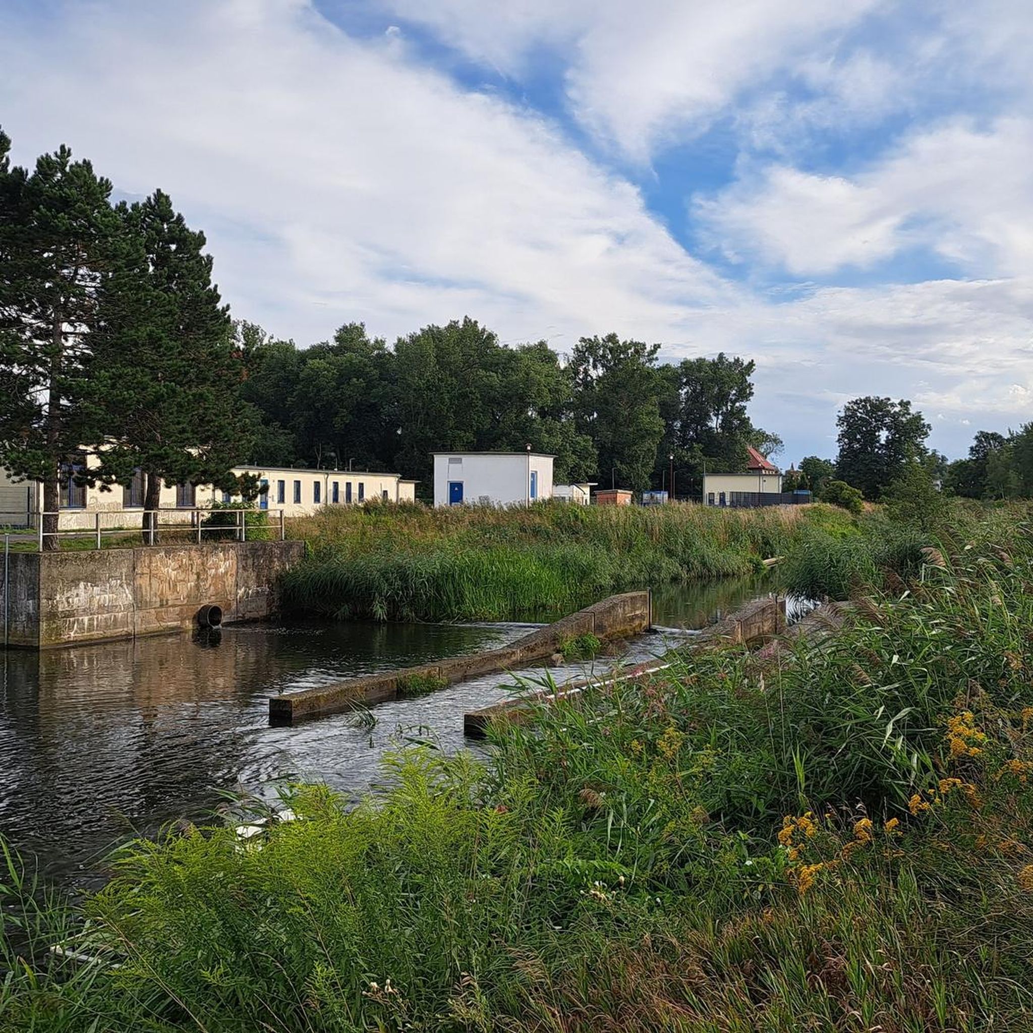
フランツォーゼンヴェーク記念石
ハイライト • 記念碑
The approximately 20 hectare body of water is located in the urban area of Strasburg …
翻訳者 Google •
役立つ情報 は

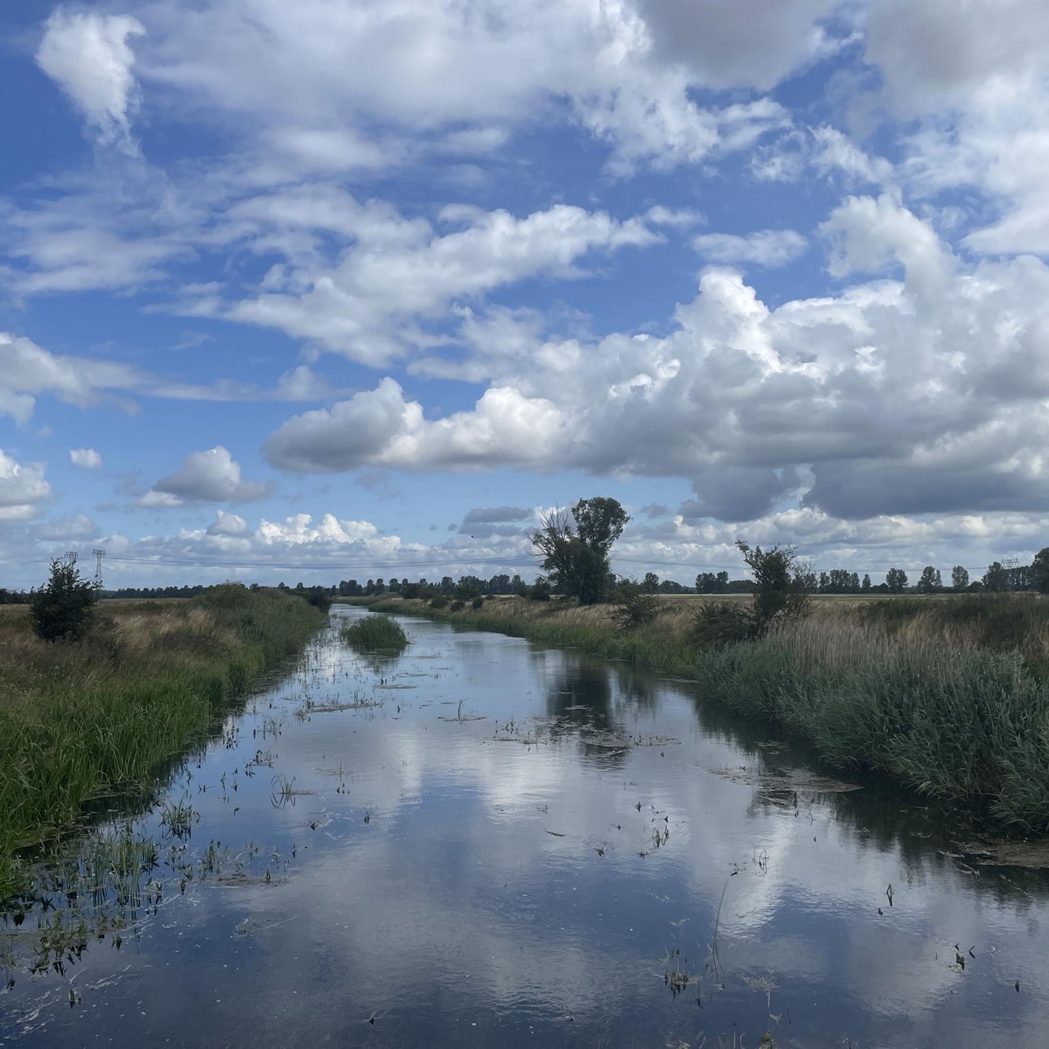
ロルヴィッツの村の池
ハイライト • 湖
翻訳者 Google •
役立つ情報 は

今すぐサインアップして、こんな場所を発見しよう
最高のシングルトラック、ピーク、その他のエキサイティングなアウトドアスポットのおすすめを受け取ろう。
無料新規登録
シュトラスブルク(ウッカーマルク)の旧市街をシュタットゼー越しに望む
ハイライト • 展望台
The approximately 20 hectare body of water is located in the urban area of Strasburg …
翻訳者 Google •
役立つ情報 は
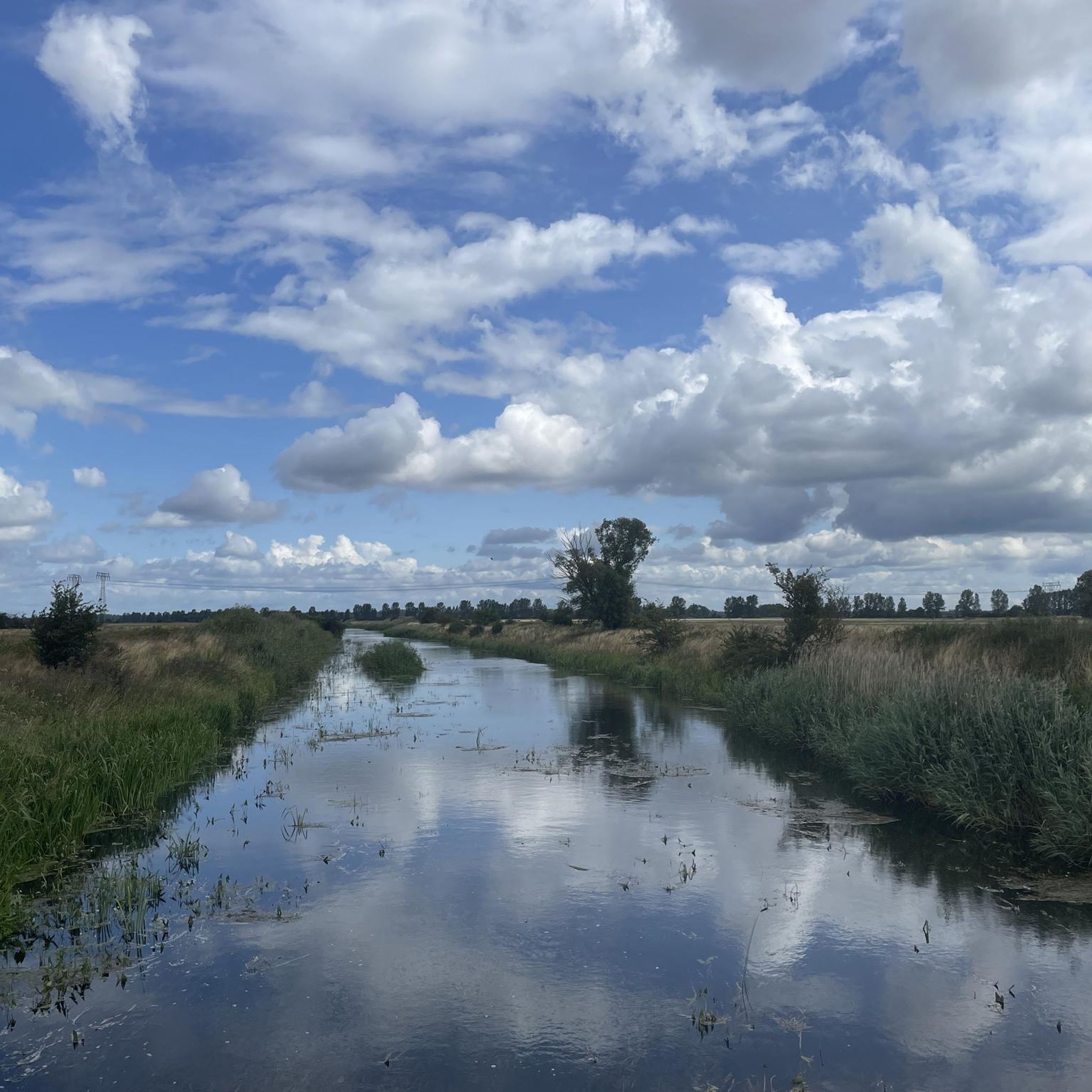
シュタットゼーの眺め
ハイライト • 湖
翻訳者 Google •
役立つ情報 は

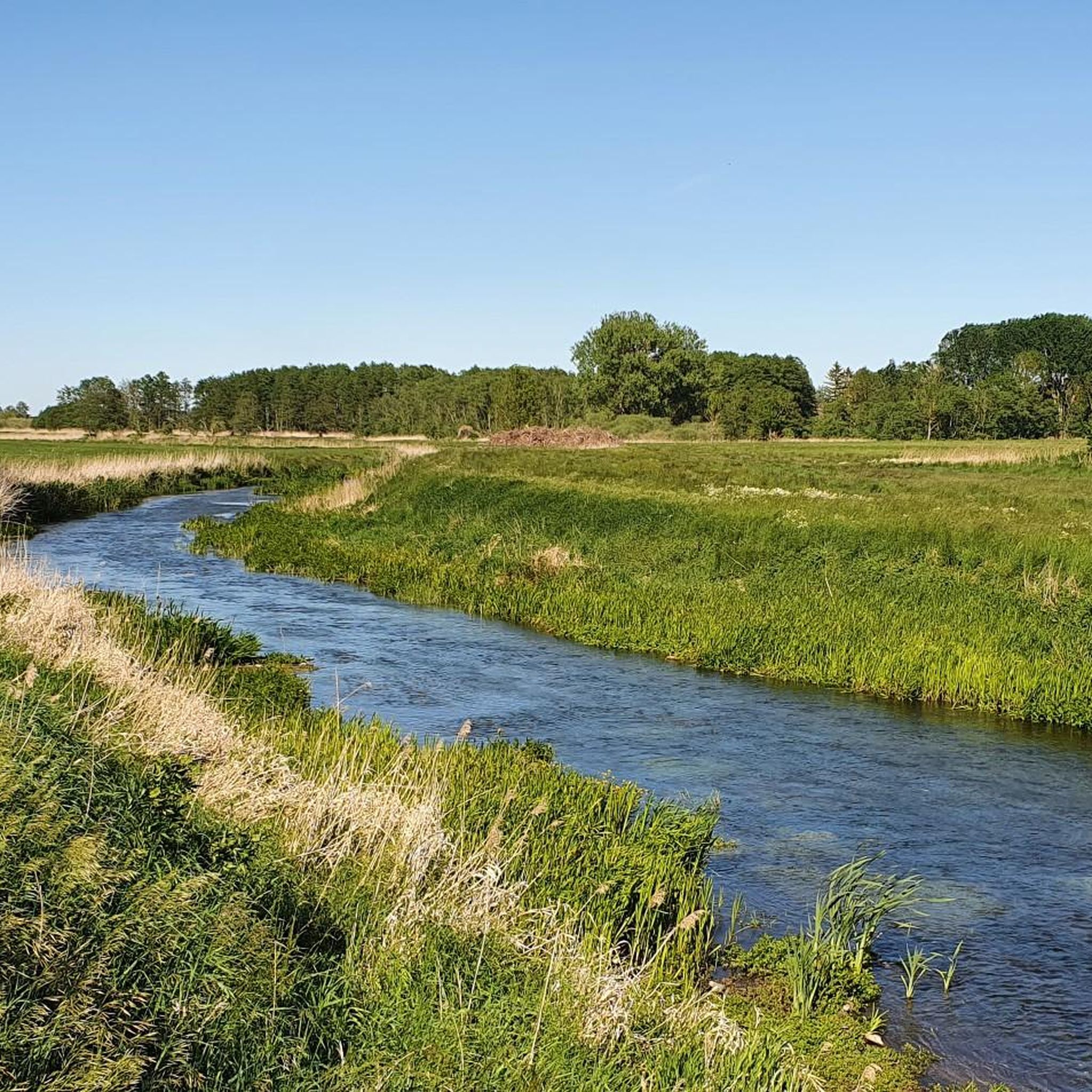
Klarer See
ハイライト • 湖
翻訳者 Google •
役立つ情報 は

無料アカウントで今日から始めよう
次の冒険が待っています。
ログインまたは登録
コミュニティからのヒント


The city lake is approximately 20 hectares in size (580 x 420 m) and between 1 and 2.5 m deep.
0
0

Unfortunately, the lake is not recommended, totally covered with algae with a cloudy view, it has certainly seen better days
0
0

There is a bench here from which you have a beautiful view over the Klarer See.
2
0

The Stadtsee is a lake near Strasburg (Uckermark) in the Vorpommern-Greifswald district in Mecklenburg-Western Pomerania. The approximately 20 hectare body of water is located in the urban area of Strasburg (Uckermark), 500 meters southeast of the town center at an altitude of around 56 m above sea level. The lake also has a small overgrown island. From the west, the lake has a tributary through the Mühlbach, which leaves it in the north and flows towards the Uecker. The maximum extent of the city lake is about 580 by 420 meters, the depth 1 to 2.5 m. The lake was formed during the last Vistula Ice Age. It was desludged in 1921, 1949, 1955 and 1977/1978. On the initiative of Mayor Merk, workers laid the Merkpromenade in the western area in 1904. In 1941 the lake's water was drained and diverted to supply the Strasburg sugar factory with water. French prisoners of war had to clean up the lake, lay rails on the bottom and create the sea route with the excavation. This began on Jüteritzer Strasse and ran to the bridge over the Prinzengraben. In 1955 the southern course of the path was changed and extended to a total length of 1045 m. Due to its history, it is known as the Franzosenweg. A boulder with an information board on the southwestern shore of the lake is a reminder of this work. In the same year, the small island in the lake was created by landfills. Most of the bank is covered with reeds. Eels, bream, roach and pikeperch live in the lake. The mute swan, goosander, common snipe, bluethroat, black tern, nightingale as well as spoonbills, teal and golden-bellied ducks have been spotted among bird species. There is a swimming area on the northern bank. A circular hiking trail leads around the lake and the Merkpromenade. Source: https://de.wikipedia.org/wiki/Stadtsee_(Strasburg)
1
0
The Stadtsee is a lake near Strasburg (Uckermark) in the Vorpommern-Greifswald district in Mecklenburg-Western Pomerania. The approximately 20 hectare body of water is located in the urban area of Strasburg (Uckermark), 500 meters southeast of the town center at an altitude of around 56 m above sea level. The lake also has a small overgrown island. From the west, the lake has a tributary through the Mühlbach, which leaves it in the north and flows towards the Uecker. The maximum extent of the city lake is about 580 by 420 meters, the depth 1 to 2.5 m. The lake was formed during the last Vistula Ice Age. It was desludged in 1921, 1949, 1955 and 1977/1978. On the initiative of Mayor Merk, workers laid the Merkpromenade in the western area in 1904. In 1941 the water in the lake was drained and diverted to supply the Strasburg sugar factory with water. French prisoners of war had to clean up the lake, lay rails on the bottom and create the sea route with the excavation. This began on Jüteritzer Strasse and ran to the bridge over the Prinzengraben. In 1955 the southern course of the path was changed and extended to a total length of 1045 m. Due to its history, it is known as the Franzosenweg. A boulder with an information board on the southwestern shore of the lake is a reminder of this work. In the same year, the small island in the lake was created by landfills. Source: https://de.wikipedia.org/wiki/Stadtsee_(Strasburg)
1
0

ブリーツィヒでのの人気観光スポット

komootモバイルアプリでインスピレーションを得よう


さらに探索
まだ完璧な湖が見つかりませんかブリーツィヒでの?これらの地域のガイドをチェックして、さらに美しい場所を見てみましょう。
