ケルスターバッハの絶景の山頂・トップ6
絶景を目指して登るのであれ、達成感のために登るのであれ、山頂を訪れることで、ケルスターバッハの美しい自然をもっと満喫することができます。6
もの選択肢の中から、制覇する山頂を決めるのは簡単ではありません。スムーズに次の冒険で目指す山頂を選べるように、ケルスターバッハの素晴らしい山頂をこのガイドにまとめました。
最終更新日: 9月 2, 2026
新石器時代の墓丘カペレンベルク
ハイライト • 歴史的な場所
翻訳者 Google •
役立つ情報 は

ハーネンコプフ山頂
ハイライト • 山頂
翻訳者 Google •
役立つ情報 は

今すぐサインアップして、こんな場所を発見しよう
最高のシングルトラック、ピーク、その他のエキサイティングなアウトドアスポットのおすすめを受け取ろう。
無料新規登録
オーバーヴァルトベルクから望むフランクフルトのスカイライン
ハイライト • 展望台
A wonderful view of the Taunus, Frankfurt's skyline or the Odenwald reward you here
翻訳者 Google •
役立つ情報 は

メルフェルデンのオーバーヴァルトベルクからの眺め
ハイライト • 展望台
翻訳者 Google •
役立つ情報 は

ロルスバッハー・コプ山頂(308m)
ハイライト • 山頂
翻訳者 Google •
役立つ情報 は

無料でサインアップして、さらに多くの山を発見しましょう ケルスターバッハでの。
無料新規登録
すでにアカウントをお持ちですか?

コミュニティからのヒント

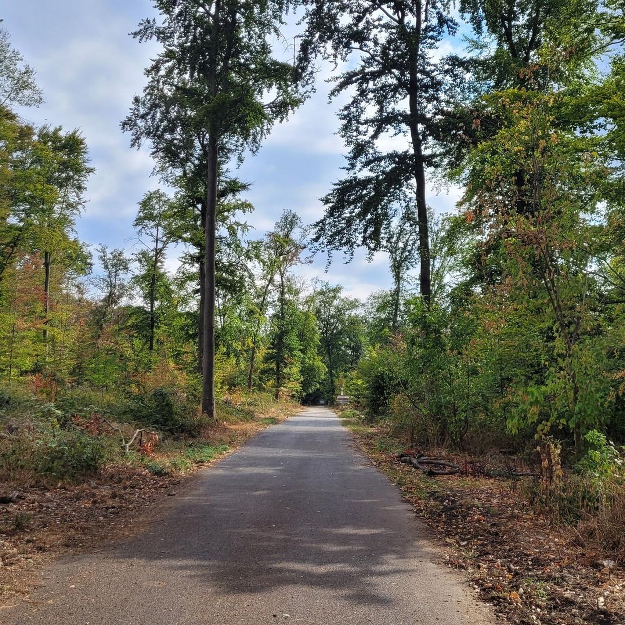
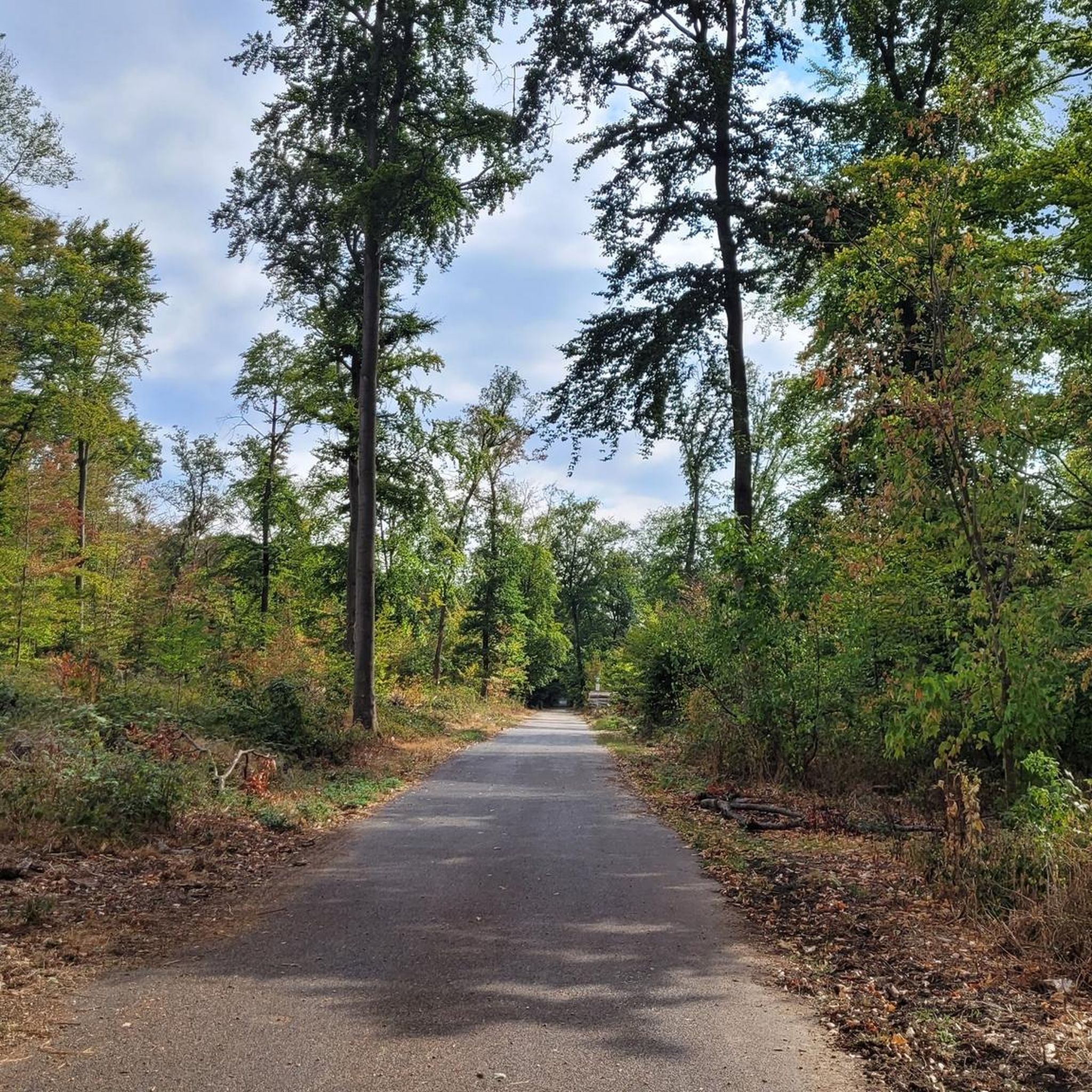
何年もずっと通り過ぎていましたが、今日はLorsbacher Kopfを通ってみました。 行く価値はあるか?いいえ - 少なくとも景色や印象的な頂上を期待している人には。個人的な「一度はすべての道を走りたい」という目的のためなら?はい。
0
0
オーバーヴァルトベルクの歴史は(残念ながら)少々怪しいものです。元々はここで砂利が採掘され、1972年からはこの地域のごみ埋立地として転用され、約1985年から現在の「山」へと成長しました。 埋立地は閉鎖され、2006年にこの展望台が建設され、ライン=マイン地域を一望できます。 この地域は今日でも大部分が立ち入り禁止です。しかし、頂上へそして山の向こう側へと続く道があります。 https://de.wikipedia.org/wiki/Oberwaldberg
0
0

Six thousand years ago, Hofheim was a center of the Michelsberg culture. And in a way, Hofheim is still a center today: The most important researchers in this field from all over Europe are currently gathered here. The symposium "The Hofheim Experiment: Lifeworlds and Dynamics of the Michelsberg Culture" addresses various aspects – from climate to archaeogenetics, from settlement structures to economic systems.
10
0

The Kapellenberg in Hofheim am Taunus is one of the most important Neolithic archaeological sites in Germany. Here, archaeologists discovered the remains of a roughly 6,000-year-old hilltop settlement of the Michelsberg culture, featuring impressive ramparts, house plans, and a monumental burial mound. Around 900 people once lived on the plateau, protected by palisades and earthworks. Finds such as a jade axe from the Western Alps provide evidence of extensive trade relations and early social organization. Today, a 4.2-kilometer-long archaeological trail leads through the site, offering fascinating insights into Stone Age life with information panels and viewpoints. Those who walk attentively will still recognize remnants of the ramparts in the area. A detour to the Hofheim City Museum, where original finds are on display, is particularly worthwhile. The Kapellenberg impressively combines nature, history, and research – a tranquil place with an ancient past high above the Main-Taunus region.
0
0
Michelsberg Culture - Traces of Settlement around 4000 BC on the Kapellenberg The first traces of the Michelsberg Culture in Hofheim can be dated to before 4000 BC. There is evidence of a settlement on the Kapellenberg, although it was not permanently inhabited. Today, the circular wall is the best preserved of its kind because the area remained unused for many thousands of years. It is therefore invaluable for understanding this Neolithic culture. The original boundary consisted of a palisade (between 4200 and 4100 BC), which was used tactically in the surrounding area. After this burned down, a rampart was built (between 3900 and 3800 BC). After another fire, the wall was considerably raised, and another palisade was built on top. The wall (with a circumference of over 3 km) encloses an area of 46 hectares. Since In 2008, the Romano-Germanic Central Museum in Mainz, under the direction of Prof. Gronenborn, in collaboration with the Hesse State Office for Monument Preservation (hessenARCHÄOLOGIE), conducted excavations to learn more about the lives of the original inhabitants on the Kapellenberg. One thing is certain: the settlement dissolved around 3650 BC due to internal disputes. The remaining settlers left. The oldest burial mound in Central Europe, "unique" according to Prof. Gronenborn, and the aforementioned rampart have been preserved. Since 2020, visitors have been able to explore the background of Hofheim's local mountain on a signposted 4-kilometer "Archaeological Trail."
4
0
The summit of the Kapellenberg, here is also the excavation site for the old settlement
0
0

A nice little extra summit, but without a view and without a summit cross
0
0
ケルスターバッハでのの人気観光スポット

komootモバイルアプリでインスピレーションを得よう


