ラウンハイムの絶景の山頂・トップ4
ラウンハイム・ドイツ近郊の最高の山頂は、町のすぐ近くには見つかりません。ラウンハイムはドイツ、ヘッセン州のライン=マイン地域に位置し、マイン川の南岸、フランクフルト・アム・マインとマインツの間にあります。この地域は、平均海抜約91メートルの、一般的に平坦で河岸の景観が特徴です。地元のルートは高低差がほとんどありませんが、本格的な山岳体験を求める人々は通常、タウヌス山脈やレーン山脈など、ヘッセン州の他の地域へ旅行します。
ラウンハイム周辺の最高の山頂
- 最も人気のある山頂はオーバーヴァルトベルクからのフランクフルトのスカイラインの眺めで、タウヌス山脈、フランクフルトのスカイライン、オーデンヴァルトの広大な遠景を提供する展望台です。標高140メートルのこの高所への登りは、パノラマビューのために価値があると考えられています。
- もう一つの必見スポットはラウベンハイマー・ヘーエ記念碑で、人工の記念碑であり、マインツで最も高い地点です。この場所からはライン渓谷の良い眺めが得られ、休憩エリアも含まれています。
- 訪問者はまた、新石器時代の墳丘墓カーペレンベルクも気に入っています。これは歴史的な場所であり、森の中の山頂です。この墳丘は紀元前4500年から3900年の間に建設され、歴史的な視点と展望を提供しています。
- ラウンハイムは、見晴らしの良い場所と歴史的な山頂で知られています。これらの場所は、景色の良い眺めと地元の歴史探訪の機会を提供します。
- ラウンハイム周辺の山頂は、komootコミュニティによって高く評価されており、ハイライト全体で312件の「いいね」と40枚の写真が共有されています。
最終更新日: 9月 16, 2026
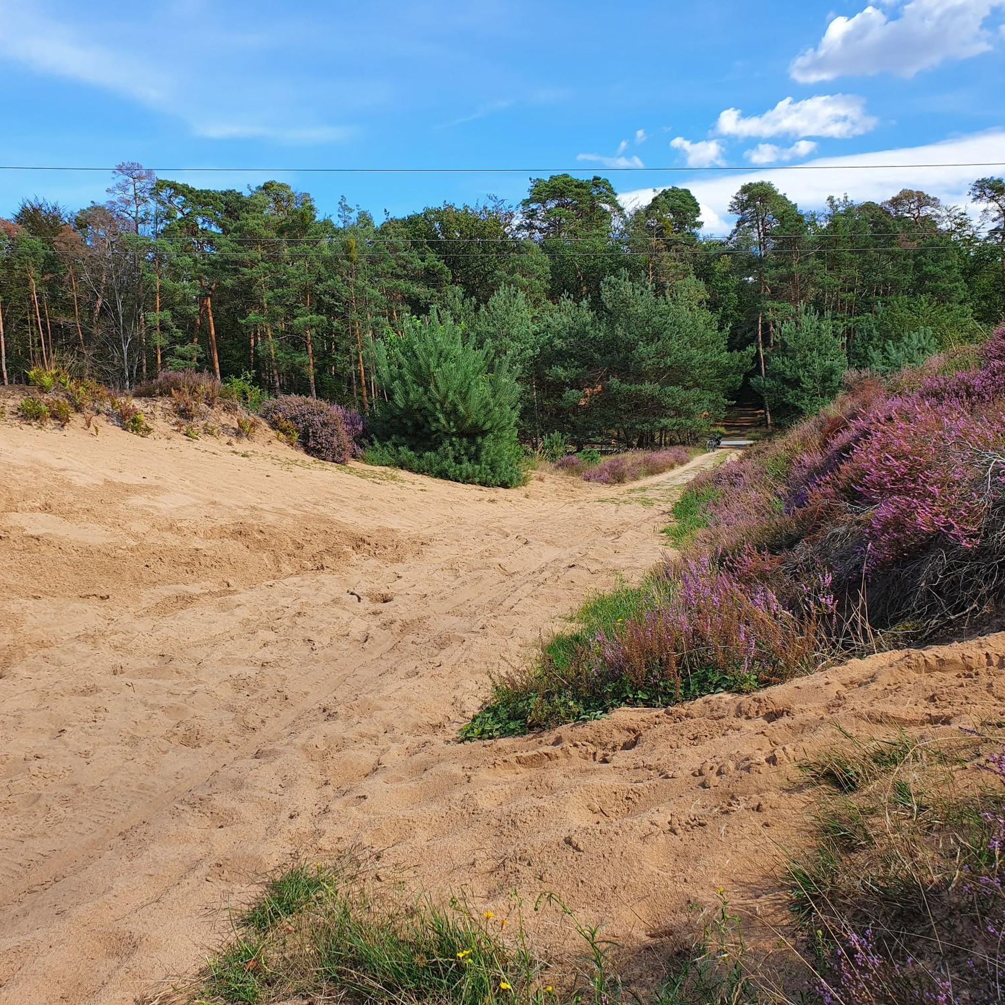
新石器時代の墓丘カペレンベルク
ハイライト • 歴史的な場所
翻訳者 Google •
役立つ情報 は

オーバーヴァルトベルクから望むフランクフルトのスカイライン
ハイライト • 展望台
A wonderful view of the Taunus, Frankfurt's skyline or the Odenwald reward you here
翻訳者 Google •
役立つ情報 は

今すぐサインアップして、こんな場所を発見しよう
最高のシングルトラック、ピーク、その他のエキサイティングなアウトドアスポットのおすすめを受け取ろう。
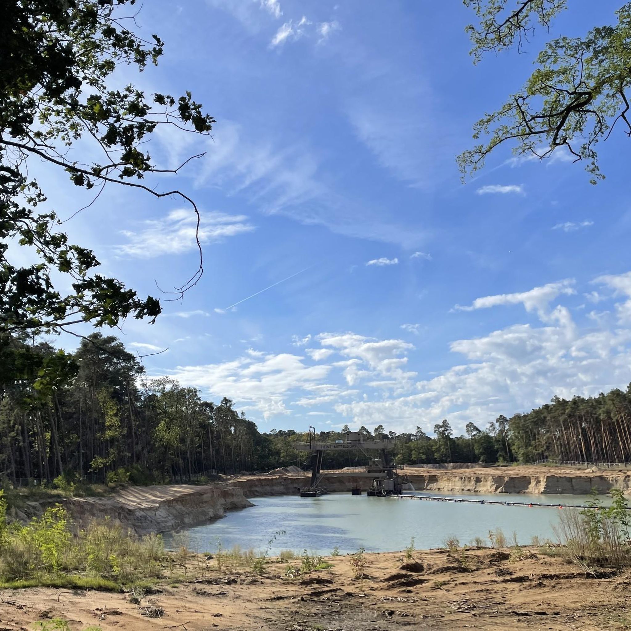
Gickelsberg
ハイライト • 自然
翻訳者 Google •
役立つ情報 は

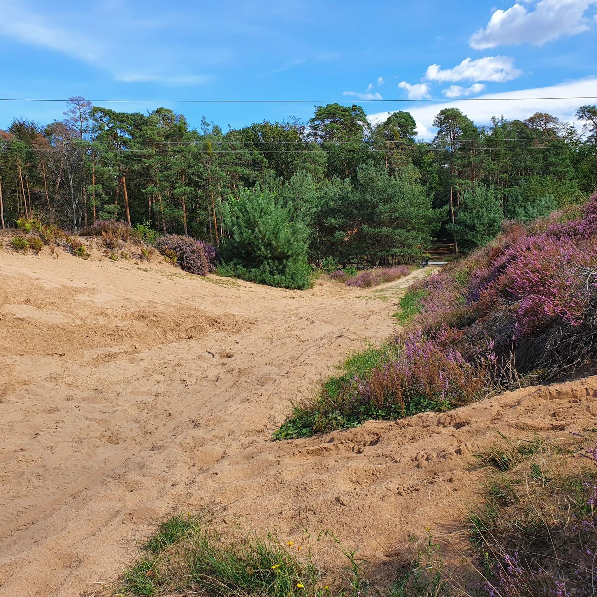
フェルトベルクとアルトケーニッヒの眺め
ハイライト • 展望台
翻訳者 Google •
役立つ情報 は

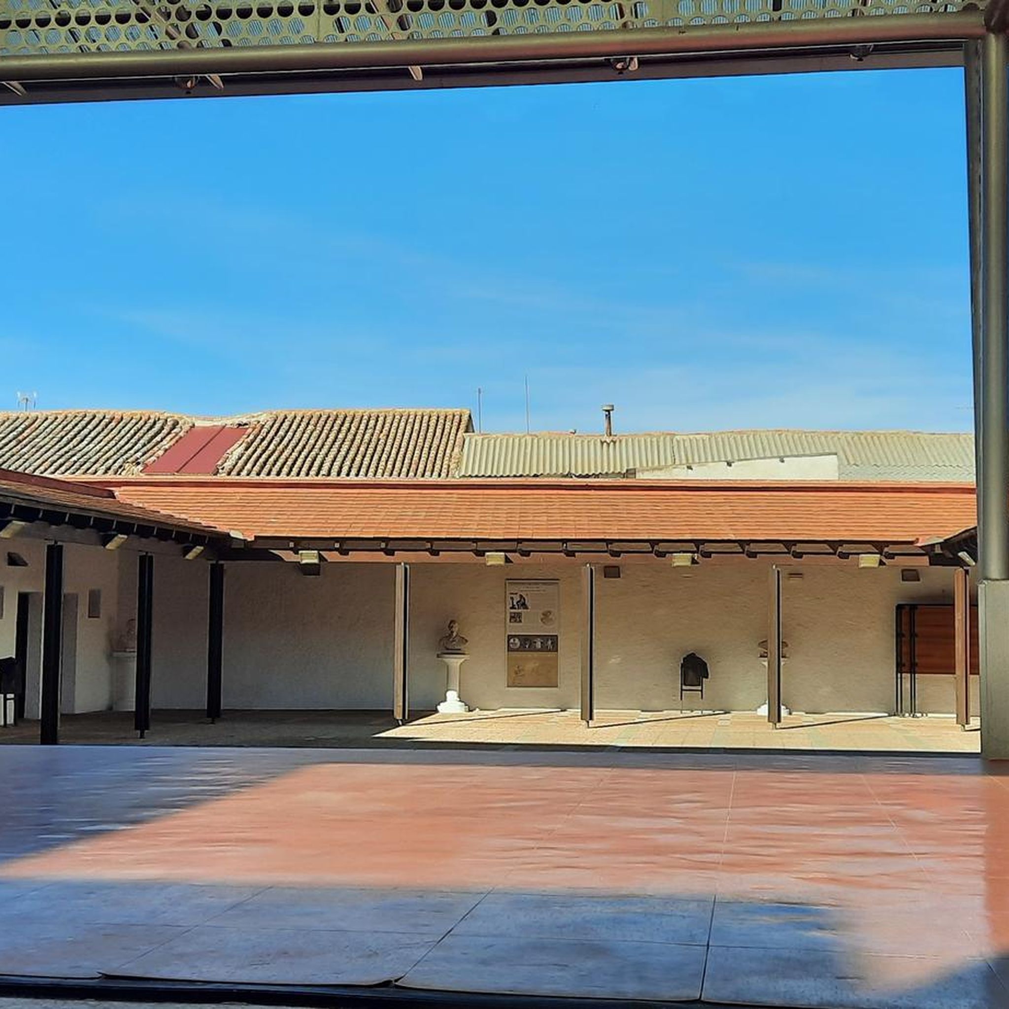
フェルトベルクとアルトケーニッヒの眺め
ハイライト • 展望台
翻訳者 Google •
役立つ情報 は

コミュニティからのヒント

Here is an old nursery outside of Hofheim.
2
0
The Rhein-Main-Therme in Hofheim am Taunus (near Frankfurt) is a 15,000 m² wellness and leisure pool complex with a comprehensive water park, sauna, and fitness area. Highlights include the outdoor area, a 150-meter water slide, a wave pool, a sauna garden, and a Vital Spa. Opening hours: Daily 9 a.m. to 10/11 p.m. The 4-star Vital Hotel is located right next door. Water Park & Wellness Pools: Sports pool (25 m), wave pool, lazy river, thermal pool (30°C), whirlpools, bubble jets, and massage jets. Slides: 150-meter-long water slide. Sauna: Spacious facility with Finnish saunas, bio saunas, steam rooms, a sauna garden, and relaxation areas. Dining: Restaurants in the pool and sauna area. Fitness (VitaSPA): State-of-the-art strength and cardio equipment, as well as a comprehensive course program. Prices & Hours (as of 2026) Opening Hours: Daily 9:00 a.m. to 10:00 p.m. (sometimes until 11:00 p.m.). Day Ticket (Pool & Sauna): Adults approx. €25–27, Children (4–15 years) approx. €16–18. Discounts: Reduced rates for residents of Hofheim and Kelkheim (short-stay rate). Parking: Paid parking available on the premises (daily flat rate).
2
0
Six thousand years ago, Hofheim was a center of the Michelsberg culture. And in a way, Hofheim is still a center today: The most important researchers in this field from all over Europe are currently gathered here. The symposium "The Hofheim Experiment: Lifeworlds and Dynamics of the Michelsberg Culture" addresses various aspects – from climate to archaeogenetics, from settlement structures to economic systems.
10
0

The Kapellenberg in Hofheim am Taunus is one of the most important Neolithic archaeological sites in Germany. Here, archaeologists discovered the remains of a roughly 6,000-year-old hilltop settlement of the Michelsberg culture, featuring impressive ramparts, house plans, and a monumental burial mound. Around 900 people once lived on the plateau, protected by palisades and earthworks. Finds such as a jade axe from the Western Alps provide evidence of extensive trade relations and early social organization. Today, a 4.2-kilometer-long archaeological trail leads through the site, offering fascinating insights into Stone Age life with information panels and viewpoints. Those who walk attentively will still recognize remnants of the ramparts in the area. A detour to the Hofheim City Museum, where original finds are on display, is particularly worthwhile. The Kapellenberg impressively combines nature, history, and research – a tranquil place with an ancient past high above the Main-Taunus region.
0
0
Michelsberg Culture - Traces of Settlement around 4000 BC on the Kapellenberg The first traces of the Michelsberg Culture in Hofheim can be dated to before 4000 BC. There is evidence of a settlement on the Kapellenberg, although it was not permanently inhabited. Today, the circular wall is the best preserved of its kind because the area remained unused for many thousands of years. It is therefore invaluable for understanding this Neolithic culture. The original boundary consisted of a palisade (between 4200 and 4100 BC), which was used tactically in the surrounding area. After this burned down, a rampart was built (between 3900 and 3800 BC). After another fire, the wall was considerably raised, and another palisade was built on top. The wall (with a circumference of over 3 km) encloses an area of 46 hectares. Since In 2008, the Romano-Germanic Central Museum in Mainz, under the direction of Prof. Gronenborn, in collaboration with the Hesse State Office for Monument Preservation (hessenARCHÄOLOGIE), conducted excavations to learn more about the lives of the original inhabitants on the Kapellenberg. One thing is certain: the settlement dissolved around 3650 BC due to internal disputes. The remaining settlers left. The oldest burial mound in Central Europe, "unique" according to Prof. Gronenborn, and the aforementioned rampart have been preserved. Since 2020, visitors have been able to explore the background of Hofheim's local mountain on a signposted 4-kilometer "Archaeological Trail."
4
0
The summit of the Kapellenberg, here is also the excavation site for the old settlement
0
0
Great view of the Feldberg and the Altkönig
3
0
よくある質問
ラウンハイムの近くにはどのような高台や「ピーク」がありますか?
ラウンハイム自体は一般的に平坦な河岸の景観に位置していますが、このガイドの「ピーク」とは、周辺のライン=マイン地域にある著名な高台や展望点を指します。これらは伝統的な高い山というよりは、パノラマビューを提供する丘や起伏であることが一般的です。例えば、オーバーヴァルトベルクからは、フランクフルトのスカイラインとタウヌス山脈の素晴らしい眺めが楽しめます。
これらの高台のうち、どこが最高のパノラマビューを提供しますか?
広大な眺望を楽しむなら、タウヌス山脈、フランクフルトのスカイライン、オーデンヴァルトの景色を望むオーバーヴァルトベルクからのフランクフルトのスカイラインの眺めを検討してください。もう一つの素晴らしい場所は、フランクフルトとより広いライン=マイン地域を見渡せることで知られるメーアフェルデン、オーバーヴァルトベルクからの眺めです。
ピークや高台の中に歴史的な史跡はありますか?
はい、新石器時代の埋葬塚、カーペレンベルクは、紀元前4500年から3900年の間に遡る重要な史跡です。さらに、ラウベンハイマー・ヘーエ記念碑は、展望点としても機能する歴史的記念碑です。
これらの高台を探検するのに家族向けのオプションはありますか?
もちろんです。ギッケルスベルクは特に家族向けで、特に冬には小さなお子様とのそり遊びに適しています。オーバーヴァルトベルクのような多くの展望点は、家族に適した管理しやすい小道からアクセスできます。
これらの高台の近くでどのようなアウトドアアクティビティができますか?
ラウンハイム周辺地域では、さまざまなアウトドアアクティビティが楽しめます。ハイキング、サイクリング、マウンテンバイク用の多数のルートが見つかります。ハイキングでは、「ヴァイクポート・ラウンハイマー・ヴァルトゼー」ループなどのオプションを探索してください。サイクリストは、「鳥の島でのマイン川岸の道」ループのようなルートを楽しめます。より挑戦的なライディングには、MTBトレイルをチェックしてください。詳細なルートは、ラウンハイム周辺のハイキング、ラウンハイム周辺のサイクリング、およびラウンハイム周辺のMTBトレイルのガイドで見つけることができます。
このガイドで直接言及されている最も高い地点はどこですか?
「オーバーヴァルトベルク」は標高140メートルと記されており、眺望に優れた高い地点です。「オーバーヴァルトベルクからの眺め、メアフェルデン」もグロス・ゲラウ郡で最も高い標高として説明されています。
ラウンハイムから本格的な山の体験を求めている場合、どこへ旅行すべきですか?
より高い標高を持つ本格的な山の体験を求めるなら、ヘッセン州内をもっと遠くまで旅行する必要があります。特筆すべき地域としては、ヴァッサークッペ(標高950メートル)があるレーン地方や、グローサー・フェルトベルク(標高881.5メートル)があるタウヌス地方が挙げられます。これらの地域は、ラウンハイムのすぐ近くと比較して、より顕著な標高差と山岳地帯を提供しています。
ラウンハイム周辺の標高の高い地点について、訪問者は最も何を楽しんでいますか?
訪問者は、常に素晴らしい眺めを高く評価しています。遠くに見えるフランクフルトのスカイライン、タウヌス地方、あるいはライン=マイン地域であっても、パノラマの眺望は大きな魅力です。多くの地点へのアクセスの良さや、記念碑での快適な休憩やちょっとした登山の機会も頻繁に喜ばれています。
ラウベンハイマー・ヘーエ記念碑を訪れる際の特別なヒントはありますか?
「ラウベンハイマー・ヘーエ記念碑」からはライン渓谷の素晴らしい眺めを楽しむことができ、休憩エリアも併設されています。ただし、道路のすぐそばに位置している点には注意が必要です。
これらの標高の高い地点や近くのトレイルを探索するのに最適な季節は何ですか?
ライン=マイン地域は、年間を通して比較的快適に探索できます。春と秋は穏やかな気温と美しい景色が楽しめ、ハイキングやサイクリングに理想的です。夏も、特に眺望を楽しむのに素晴らしいですが、暑くなることもあります。冬でも、一部の道はアクセス可能であり、「ギッケルスベルク」は冬のそり遊びに適していると記されています。
ラウンハイムでのの人気観光スポット

komootモバイルアプリでインスピレーションを得よう


