南リンブルフの絶景の山頂・トップ14
絶景を目指して登るのであれ、達成感のために登るのであれ、山頂を訪れることで、南リンブルフの美しい自然をもっと満喫することができます。14
もの選択肢の中から、制覇する山頂を決めるのは簡単ではありません。スムーズに次の冒険で目指す山頂を選べるように、南リンブルフの素晴らしい山頂をこのガイドにまとめました。
最終更新日: 8月 31, 2026
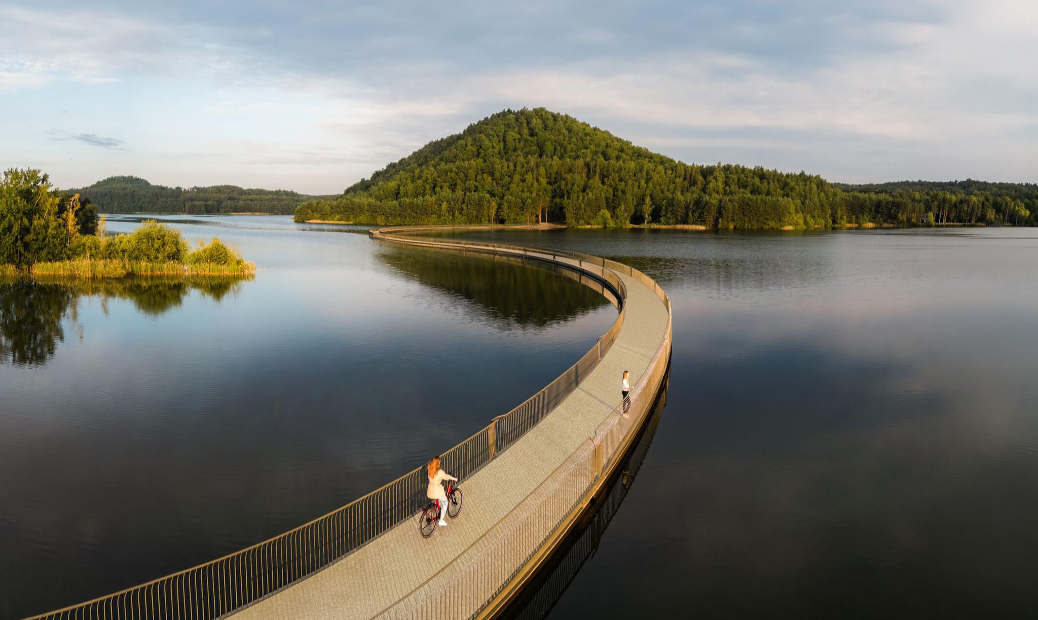
湖から見えるテリルの景色
ハイライト • 展望台
翻訳者 Google •
役立つ情報 は

ハッケンベルク — 標高252m
ハイライト • 山頂
翻訳者 Google •
役立つ情報 は

今すぐサインアップして、こんな場所を発見しよう
最高のシングルトラック、ピーク、その他のエキサイティングなアウトドアスポットのおすすめを受け取ろう。
無料新規登録
ツヴェーリングテリルからの眺め
ハイライト • 展望台
翻訳者 Google •
役立つ情報 は
テリル・ファン・ワーテルスヘイ
ハイライト • 自然記念物
翻訳者 Google •
役立つ情報 は

リーテベルグ 裸足の散策路入口
ハイライト • トレイル
翻訳者 Google •
役立つ情報 は

カッテンロート頂上(209m)
ハイライト • 山頂
翻訳者 Google •
役立つ情報 は

テリルウィンターストローク
ハイライト • MTBパーク
翻訳者 Google •
役立つ情報 は

Voeren(Fourons)サイクリングロード
ハイライト (セグメント) • サイクリングロード
翻訳者 Google •
役立つ情報 は

三ツ星ポイント、ヘウスデン=ゾルダーのテリル山頂
ハイライト • 山頂
翻訳者 Google •
役立つ情報 は
階段(ベリンゲンの最高地点)
ハイライト • 山頂
The Beringen slag heap …
翻訳者 Google •
役立つ情報 は

無料でサインアップして、さらに多くの山を発見しましょう 南リンブルフでの。
無料新規登録
すでにアカウントをお持ちですか?
無料アカウントで今日から始めよう
次の冒険が待っています。
ログインまたは登録
南リンブルフ周辺で人気
ベルグーラストアラゴートファイルドラール南 - ブラマ タンドングの体前れていません

フランドルからアルデンヌへ — ベルギーのGR 5
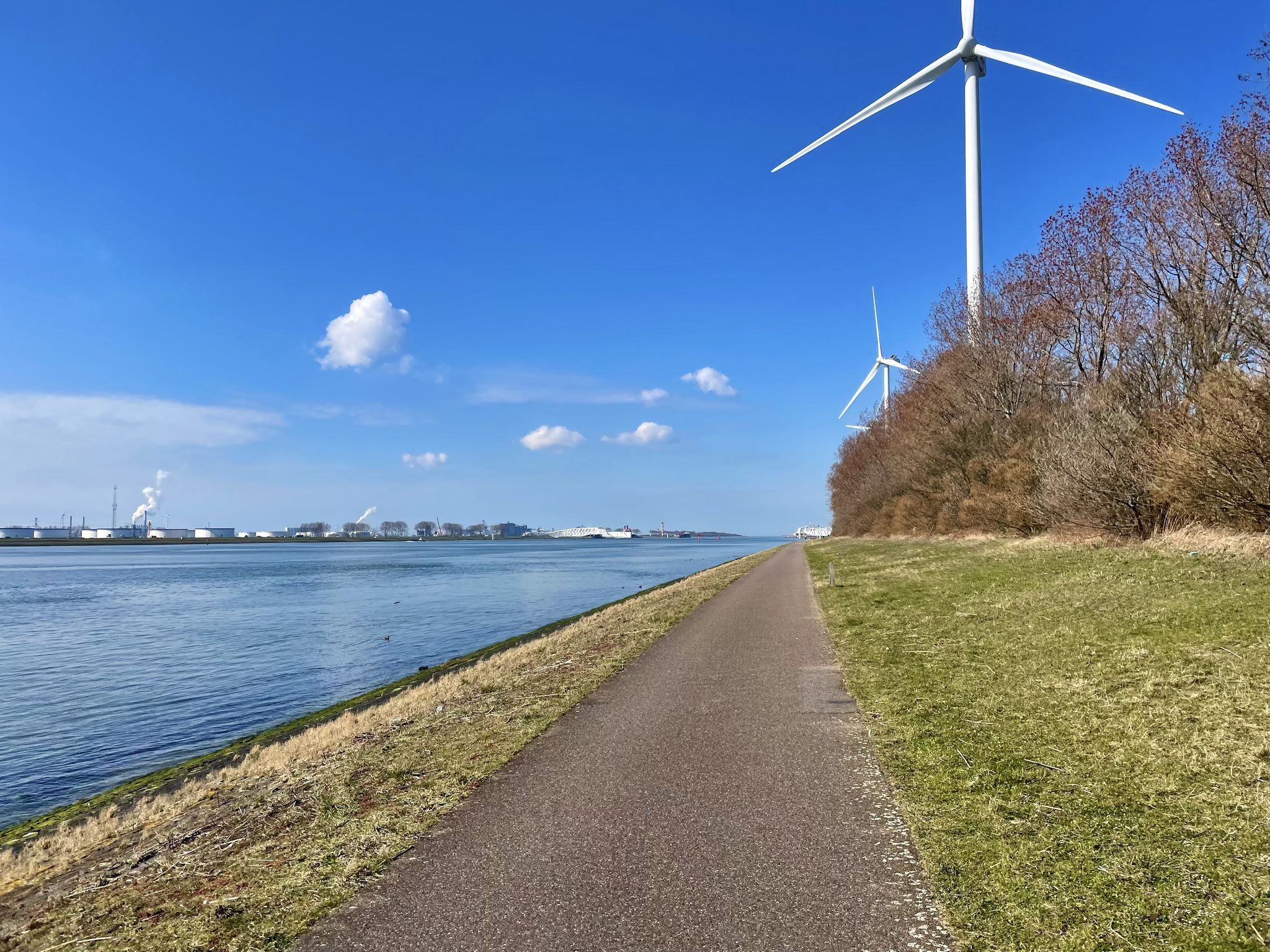
ムーズ・サイクル・ルート - 丘陵地帯から港までムーズ川沿いを走ります。
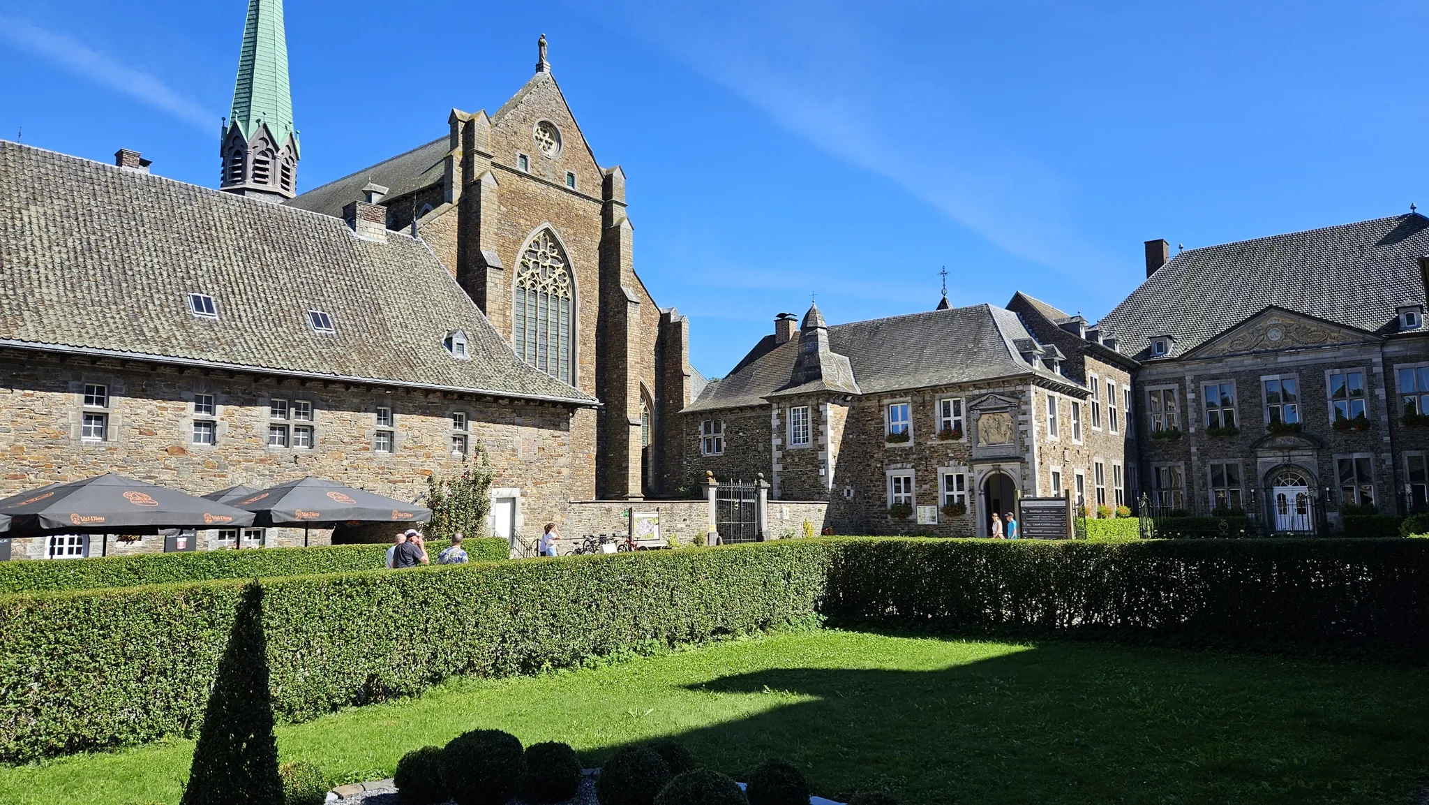
ビールと遺産の間 — トラピスト修道院ヴェロルート
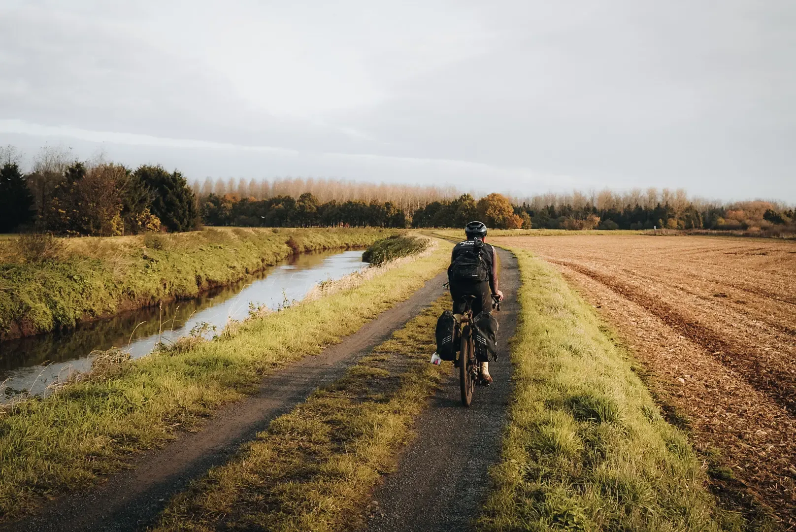
フランダーズ・ディバイド - フランダーズを横切る

アルアランドの入力が80日な
Three days through Belgian Limburg – art, heritage and views
ムーズ・サイクル・ルート - 丘陵地帯から港までムーズ川沿いを走ります。
Flanders’ Finest Hiking Routes
Hiking in Brabant – in Van Gogh’s footsteps in Southern Netherlands
南リンブルフでのの他の冒険


コミュニティからのヒント


The Waterschei spoil heap is one of the most striking remnants of coal mining in Belgian Limburg, located in the Waterschei district of Genk. The spoil heap originated as a waste heap from coal mining – during coal mining, rock material that did not contain usable coal was brought to the surface and piled up into an artificial hill. These centuries-old spoil heaps have since become visible landmarks in the landscape and are now deeply rooted in the region's culture and nature. The former mining area around Waterschei was active between 1924 and 1987 and played a significant role in the economic development of the Kempen coal basin. After the mines closed, the area lost its industrial function, but the spoil heaps remained as immense silent witnesses to that mining past. In 1999, the Waterschei spoil heaps were officially designated a protected landscape, emphasizing the value of these structures, not only historically but also ecologically. Today, the slag heaps are part of Thor Park, a redeveloped nature recreation and heritage area of approximately 30 hectares where industrial history and natural experiences converge. Hiking trails have been laid out around the slag heaps, often marked with small stacked stones—symbolic "cairns"—that invite visitors to climb the slopes and leave their own markings. At the top of the slag heap, you're rewarded with a panoramic view of the former mining site, forest, heathland, and the surrounding landscape. The Waterschei slag heap combines history, nature, and recreation. The hill is not only a monument to the mining industry but also a place where vegetation and biodiversity have developed on the rugged stone. As such, the slag heap offers a fascinating example of how an industrial artifact can transform into an ecologically and recreationally valuable landscape.
0
0
At 209 meters above sea level, the Kattenroth is one of the highest points in the Voer region. From the summit, you have a panoramic view of the rolling Limburg hills, the surrounding meadows, forest edges, and picturesque villages such as Sint-Martens-Voeren and Ulvend. The hill is popular with hikers and nature lovers because the area offers a combination of tranquility and beautiful vistas. Along the paths, you'll encounter wooded banks, old field paths, and the occasional field cross, adding to the charm of this landscape. The Kattenroth is not only a place for views and relaxation but also a landmark in the Voeren landscape.
1
0
The Hakkenberg is one of the higher points in the Limburg hills, at an altitude of 252 meters. From here, you have a beautiful view of the surrounding rolling fields, forests, and villages that reflect the character of South Limburg.
2
0

The highest point of Kattenrothberg is 209 meters. It lies between the Netherlands (Noorbeek) and Belgium (Sint-Maartens Voeren). Info: https://www.peakbagger.com/peak.aspx?pid=-138260
2
0

Or a nice descent (depending on which direction you come from)
1
0
Here you can walk (coming from the right direction)
1
0


komootモバイルアプリでインスピレーションを得よう


探していたものは見つかりませんでしたか?
南リンブルフの最高の山や頂上を地域ごとに発見しましょう:
さらに探索
これらのガイドでさらに素晴らしい頂上を見てみましょう南リンブルフでの:
