悪いウィンプフェンの絶景の山頂・トップ4
絶景を目指して登るのであれ、達成感のために登るのであれ、山頂を訪れることで、悪いウィンプフェンの美しい自然をもっと満喫することができます。4
もの選択肢の中から、制覇する山頂を決めるのは簡単ではありません。スムーズに次の冒険で目指す山頂を選べるように、悪いウィンプフェンの素晴らしい山頂をこのガイドにまとめました。
最終更新日: 10月 8, 2026
シャイアーベルクからのネッカーズルムとハイルブロンの眺め
ハイライト • 展望台
翻訳を表示中
役立つ情報 は

丘の上の十字架から見たダーヘンフェルトの景色
ハイライト • 山頂
Source: commons.wikimedia.org/wiki/File:Wei%C3%9Fes_Kreuz_in_Dahenfeld.jpg)
翻訳者 Google •
役立つ情報 は

今すぐサインアップして、こんな場所を発見しよう
最高のシングルトラック、ピーク、その他のエキサイティングなアウトドアスポットのおすすめを受け取ろう。
Heuchlinger Spitze
ハイライト • 山頂
翻訳者 Google •
役立つ情報 は

Scheuerbergの眺め
ハイライト • 展望台
翻訳者 Google •
役立つ情報 は
展望のあるクライナー・シェメルスベルクの道標
ハイライト • 展望台
翻訳者 Google •
役立つ情報 は

無料アカウントで今日から始めよう
次の冒険が待っています。
悪いウィンプフェン周辺で人気

Vibrant and diverse – autumn colors in the Odenwald
Culture over mileage – cultural Highlights on the Neckar Valley Cycle Path
Adventure on two wheels – overnight cycling trips in Baden-Württemberg
Naturparke-Gravel-Crossing: bikepacking in Baden-Württemberg

ADFC レムス=ムール:複数日ツアー
Experience nature – hiking in the Odenwald and Neckar Valley
悪いウィンプフェンでのサイクリング
悪いウィンプフェンでのハイキング
悪いウィンプフェンのMTBトレイル
悪いウィンプフェンのランニングコース
悪いウィンプフェンでのの他の冒険


コミュニティからのヒント


From below you can see that there is a certain incline to overcome before you reach the magnificent view
7
0

Trail: Not too long, not too steep—ideal for people who say "hiking" but mean "walking." 😎 Atmosphere: 100% relaxation, 0% Wi-Fi—truly pure nature.
4
0

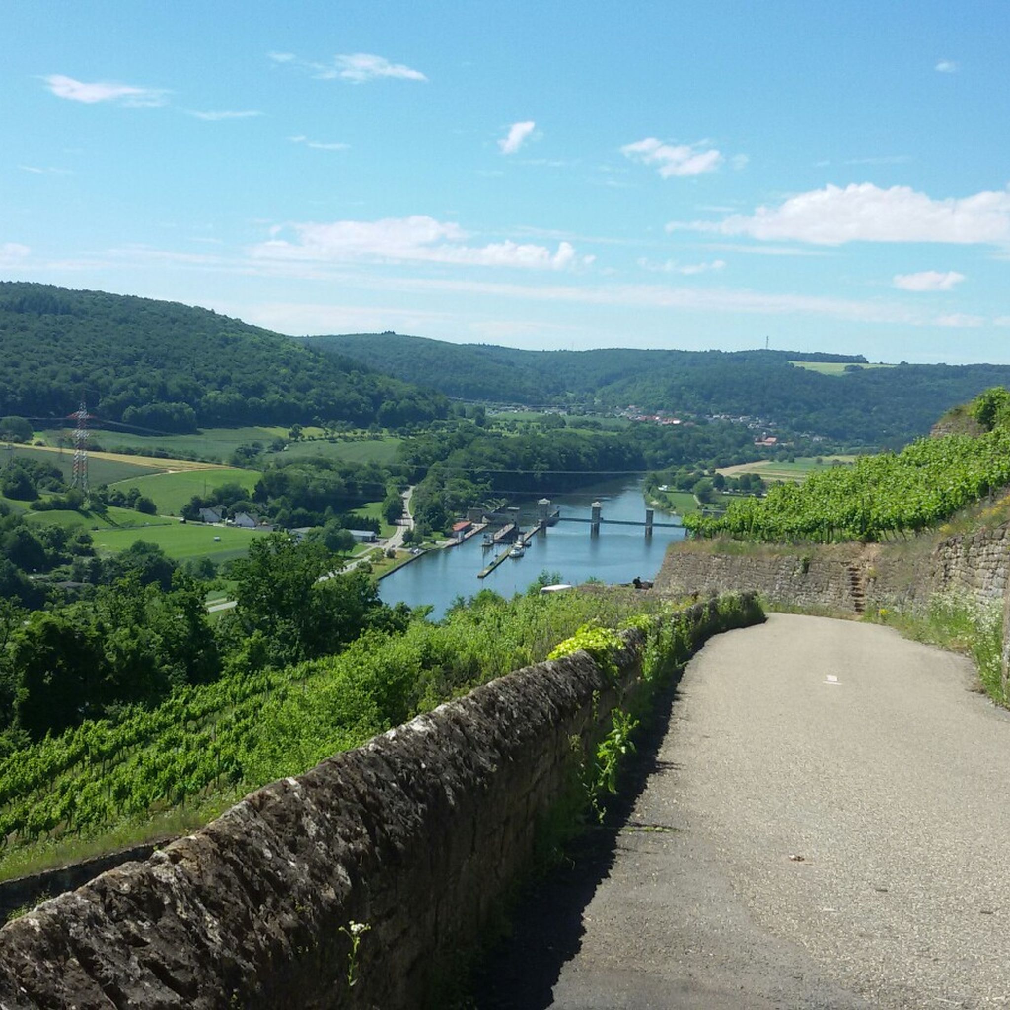
Good vantage point with a view over the vineyards and up to Scheuerberg, the far-visible local mountain of Neckarsulm.
12
0
The Scheuerberg (Schuire - Scheuwer - Scheune or Schûre - Schauer) is 306 m high and 350 m long. It is a so-called witness mountain and stands as the last, western foothill of the Löwenstein Mountains, visible from afar. It consists of Keuper marl and a layer of Letten coal that begins at a depth of 150 m. The actual, obligatory cover layer (of reed sandstone) is missing. It was probably removed to obtain building material for the castle and town. It has two "forehills" north of the Hohberg and south of the Hasenbiegel. It acquired its current form through the vineyard reorganization process (1967–1996), during which the hill was radically redesigned. It is THE local mountain of the people of Neckarsulm and closely linked to the town's history.
9
0
The Scheuerberg near Neckarsulm in the Heilbronn district is an approximately 310-meter-high elevation in the Sulm mountain plain. In the Middle Ages, Scheuerberg Castle stood on the summit of the Scheuerberg, but it was not rebuilt after the Peasants' War around 1525. Today, the Scheuerberg is a popular hiking destination, offering fantastic views of Neckarsulm and the surrounding area. The hiking trails around the Scheuerberg are well signposted and offer varying levels of difficulty, so both beginners and experienced hikers will find something to suit their needs.
15
1
From this point you have a very good view of the Scheuerberg. First look up... then climb up and enjoy the view.
14
0

I've been up there many times. But I've never seen a summit book.
10
1
悪いウィンプフェンでのの人気観光スポット

komootモバイルアプリでインスピレーションを得よう


さらに探索
これらのガイドでさらに素晴らしい頂上を見てみましょう悪いウィンプフェンでの:
