プファッフェンホーフェンの絶景の山頂・トップ19
絶景を目指して登るのであれ、達成感のために登るのであれ、山頂を訪れることで、プファッフェンホーフェンの美しい自然をもっと満喫することができます。19
もの選択肢の中から、制覇する山頂を決めるのは簡単ではありません。スムーズに次の冒険で目指す山頂を選べるように、プファッフェンホーフェンの素晴らしい山頂をこのガイドにまとめました。
最終更新日: 10月 17, 2026
オッティリエンベルクの聖オッティリエン礼拝堂
ハイライト • 宗教的な場所
翻訳を表示中
役立つ情報 は

ミヒャエルスベルク(クレーブロン)
ハイライト • 山頂
翻訳者 Google •
役立つ情報 は

今すぐサインアップして、こんな場所を発見しよう
最高のシングルトラック、ピーク、その他のエキサイティングなアウトドアスポットのおすすめを受け取ろう。
バイゼルスベルク – シュトロムベルクの最高地点
ハイライト • 山頂
翻訳者 Google •
役立つ情報 は

テウフェルスクリンゲ・シングルトレイル
ハイライト (セグメント) • トレイル
翻訳者 Google •
役立つ情報 は

シュリールコプフ山頂
ハイライト • 山頂
翻訳者 Google •
役立つ情報 は

無料でサインアップして、さらに多くの山を発見しましょう プファッフェンホーフェンでの。
すでにアカウントをお持ちですか?


コミュニティからのヒント

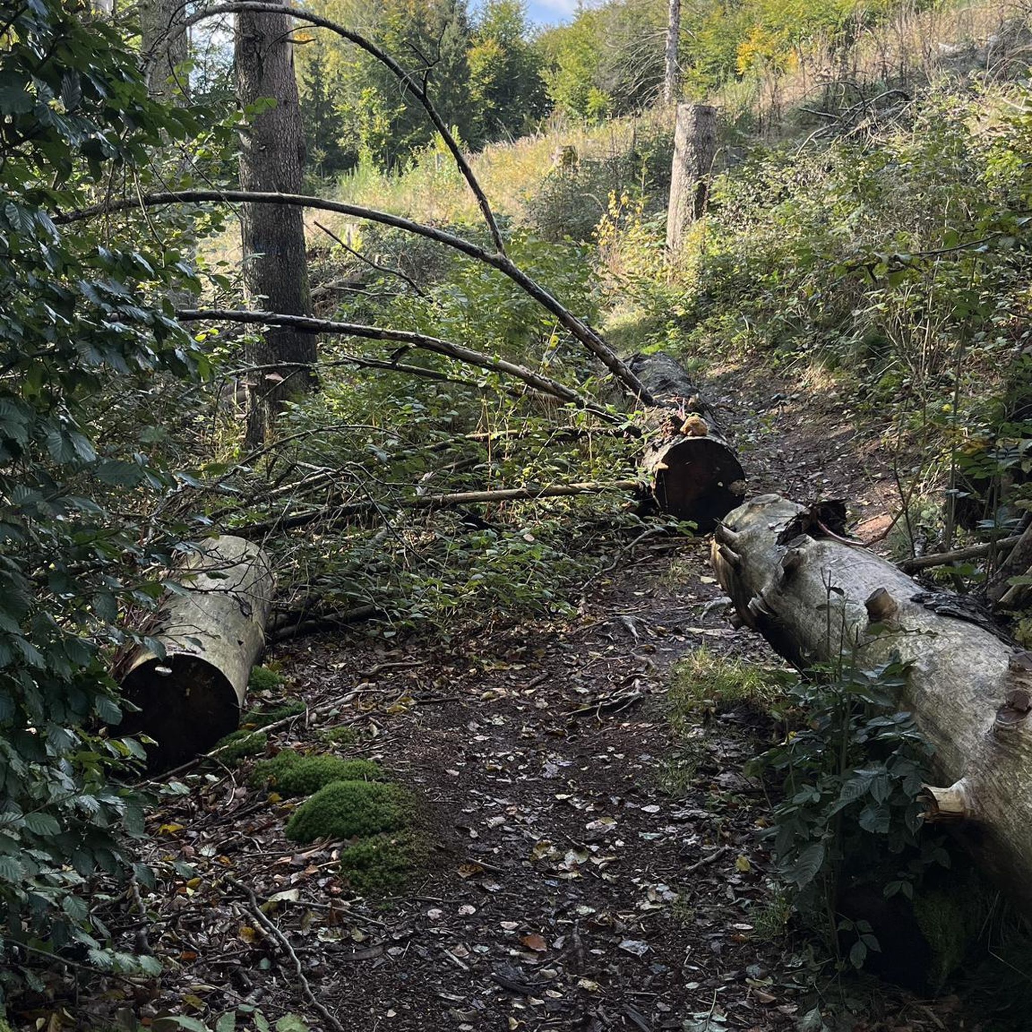
The way up to Ottilienberg leads along a small steep path.
12
0
A new consecration and thus a new building of the chapel is recorded from the period around 1462/65. It probably consisted of the present choir with the beautiful star vault and the tower with antechamber and sacristy extension. A few years later, the current ruined nave was probably added. From earlier times, a "forest brother" or hermit is believed to have lived in the building next to the chapel. During the Reformation, all the sculptures were destroyed and the chapel closed. The "forest brother" became a "forest servant". The chapel survived the Thirty Years' War unscathed. In connection with the expansion of the Eppingen lines in 1695 - 1697, the chapel tower was given the function of a charter and was raised. In the 18th century, pilgrimages to the chapel ruins were again made from Eppingen. In 1771, the chapel was still completely intact, but without a roof. Due to agricultural use, the nave was demolished in the 19th century, except for a remnant in the west. In the last days of the war in 1945, the property next to the chapel was destroyed and the chapel was set on fire. In 1955, the city undertook extensive renovation and restoration of the chapel ruins. (Source: www.kath-eppingen.de)
9
0
Once a month - usually on the first Sunday of the month from 11 a.m. to 5 p.m. - the German Alpine Club, Eppingen district group, opens and manages the Ottilienberg tower.
20
1

The DAV Eppingen local group's hiking hut is currently open on the first Sunday of every month, whatever the weather.
10
0

The "summit" is a must to "tick off"! There are great trails all around in a great area👍. "Seltsamonskis" just tick it off with "annoying constant liking"🤣
4
1

The Baiselsberg is getting higher and higher, but it is already the "biggest"
7
1
Beautiful chapel with a large rest area and covered seating
14
1

You can also reach the summit by mountain bike! It is where the summit cross is. Next to it is the surveying stone. Unfortunately there is no view as it is overgrown all around. But no matter, you have to go there at least once!
2
0
プファッフェンホーフェンでのの人気観光スポット

komootモバイルアプリでインスピレーションを得よう


さらに探索
これらのガイドでさらに素晴らしい頂上を見てみましょうプファッフェンホーフェンでの:
