キルヒロートのおすすめウォーキング&ハイキングルート
4.5
(71)
394
ハイカー
77
ハイキング
キルヒロート周辺でのハイキングは、景色を満喫するのに最適な手段のひとつですが、適切なハイキングルートを見つけることは簡単ではありません。 キルヒロート周辺の人気ハイキング&ウォーキングコースを参考にすれば、行きたいルートをすぐに見つけられます。
最終更新日: 8月 28, 2026
5.0
(2)
17
ハイカー
14.8km
04:18
400m
400m
中程度のハイキング. ある程度のフィットネスレベルが必要です。 進みやすいルートです。あらゆるスキルレベルに適しています。
4.8
(4)
18
ハイカー
5.98km
01:42
130m
130m
初級者向けハイキング. あらゆるフィットネスレベルに適しています。 進みやすいルートです。あらゆるスキルレベルに適しています。

無料新規登録
4.7
(7)
16
ハイカー
9.62km
02:26
10m
10m
中程度のハイキング. ある程度のフィットネスレベルが必要です。 進みやすいルートです。あらゆるスキルレベルに適しています。
4.7
(3)
8
ハイカー
14.7km
04:12
350m
350m
中程度のハイキング. ある程度のフィットネスレベルが必要です。 進みやすいルートです。あらゆるスキルレベルに適しています。
5.0
(1)
6
ハイカー
17.0km
04:16
20m
20m
中程度のハイキング. ある程度のフィットネスレベルが必要です。 進みやすいルートです。あらゆるスキルレベルに適しています。
さらに多くのルートや他のユーザーのおすすめ情報を確認できます。
無料新規登録
すでにアカウントをお持ちですか?
おすすめのツアーは他のkomootユーザーが実際に経験した何千ものアクティビティに基づいています。
無料アカウントで今日から始めよう
次の冒険が待っています。
ログインまたは登録
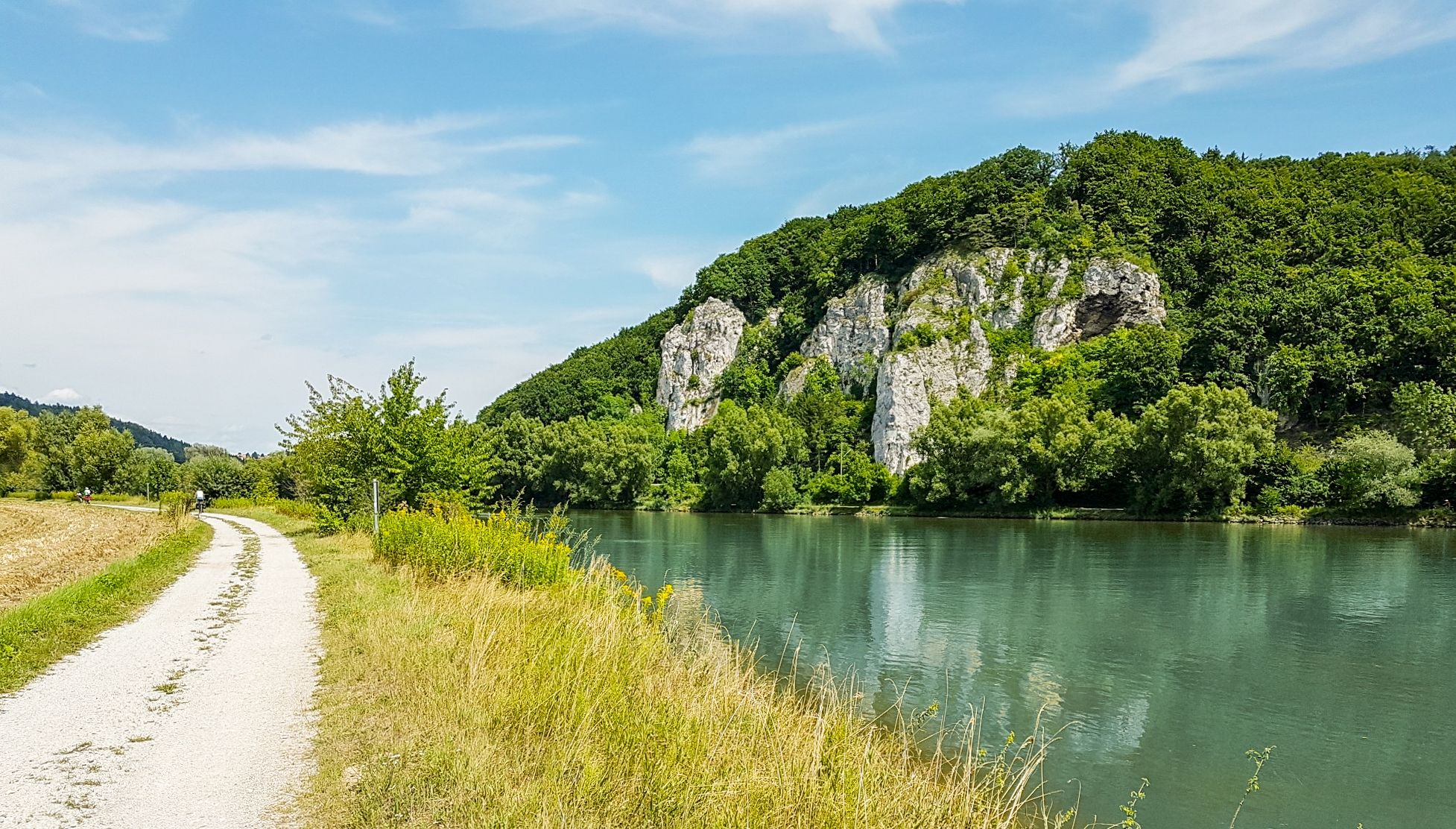
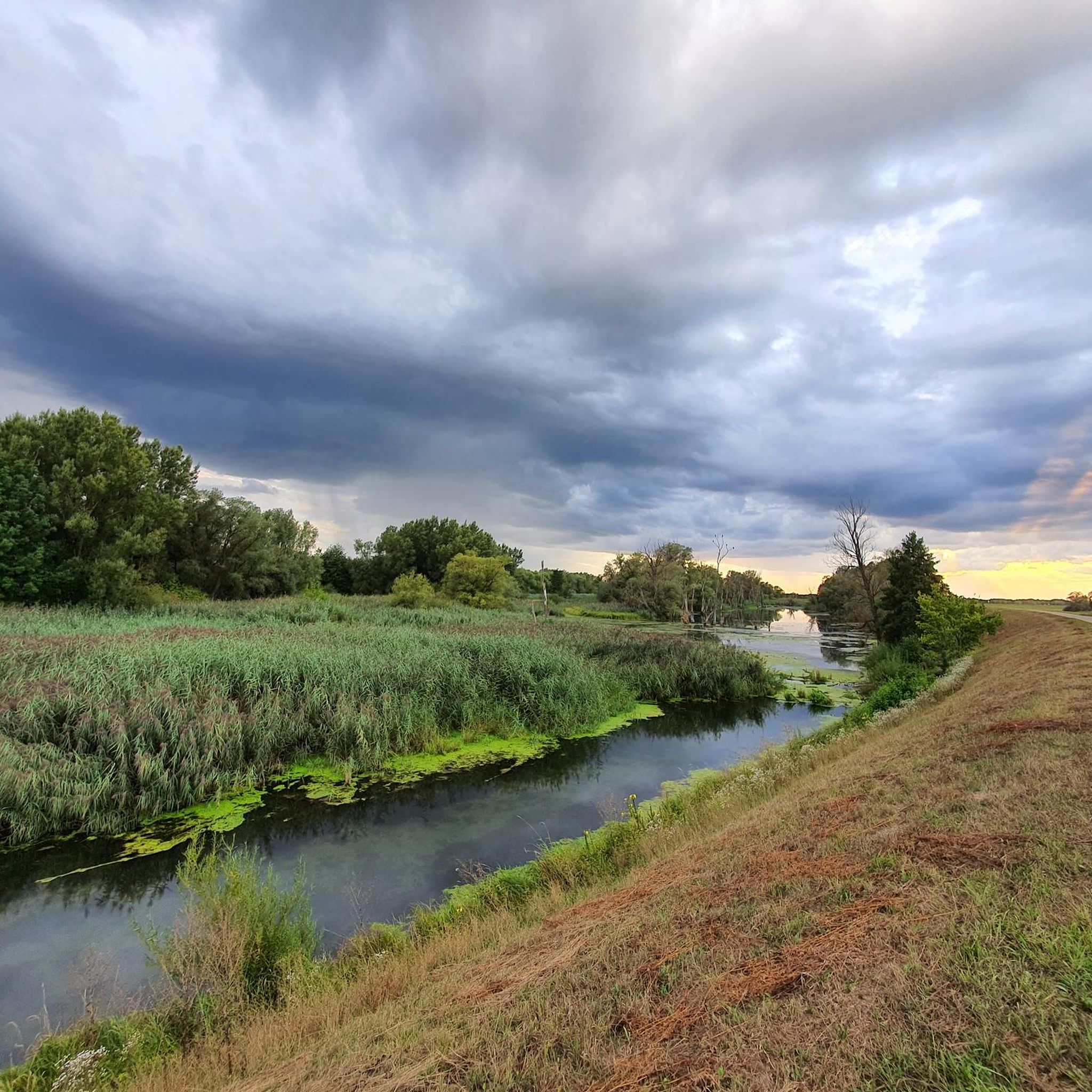
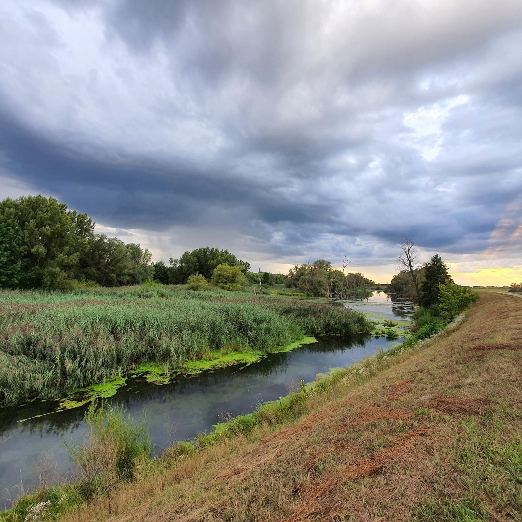
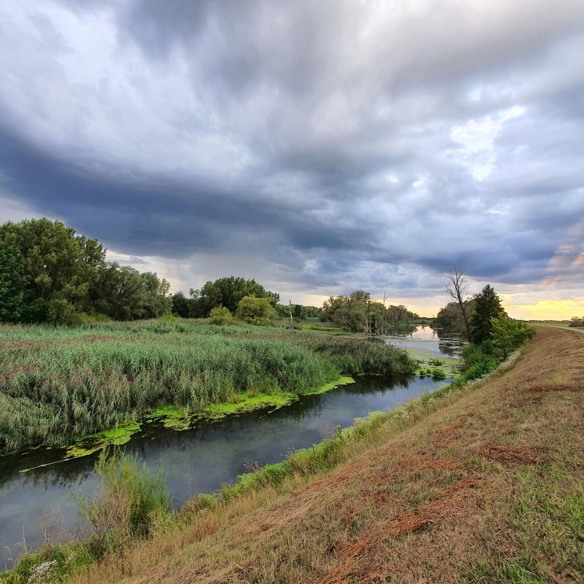

コミュニティからのヒント

The Bavarian Forest Nature Park encompasses an area north of the Danube River, extending to the border ridge with the Czech Republic. The managing organization is the Bavarian Forest Nature Park Association (Naturpark Bayerischer Wald e. V.), based in Zwiesel. Established in 1967, it is one of the oldest nature parks in Bavaria. It should not be confused with the Bavarian Forest National Park. The Bavarian Forest Nature Park lies in southeastern Germany, between the Danube River and the higher elevations of the Bavarian Forest along the Bavarian-Bohemian border. To the east, it borders the Bavarian Forest National Park, and to the north, the Upper Bavarian Forest Nature Park. On the Czech side, it borders the Šumava Landscape Conservation Area and the Šumava National Park. In the southeast, the nature park borders the Mühlviertel region of Austria. The landscape of the Bavarian Forest Nature Park begins at the Danube River at approximately 320 meters above sea level. There, remnants of floodplain forests and structurally diverse oxbow lakes can still be found. The Lallinger Winkel region is known for its orchards. On the foothills of the Bavarian Forest, the so-called Danube Mountains, the last remaining specimens of the endangered capercaillie have survived, just as they do in the higher elevations of the Inner Bavarian Forest. The Pfahl is an ecologically rich rock formation. It stretches for approximately 140 km in a southeasterly direction from the neighboring Upper Palatinate to Upper Austria. The more weather-resistant quartz rock rises several meters above the adjacent gneiss and provides habitat for numerous warmth-loving animal and plant species. In the Inner Bavarian Forest, structurally diverse mixed mountain forests and the typical high-elevation spruce forests with raised bogs and clearings—the last remnants of forest grazing—still exist. The Bavarian Forest is one of the largest contiguous forest areas in Central Europe and, together with the neighboring Bohemian Forest, is of paramount importance for nature and landscape conservation. The partially natural forests in the border region and the attractive, historically developed cultural landscape make the Bavarian Forest Nature Park an important component of the conservation concept for large landscapes. Source: https://de.wikipedia.org/wiki/Naturpark_Bayerischer_Wald
1
0
The Straubing Lock was constructed in 1993 as part of the Straubing Weir project to ensure the navigability of the Danube. The lock chamber is located at Danube kilometer 2322.02. With a chamber length of 264 meters, it has a usable length of 230 meters and a usable width of 24 meters. The lock chamber is constructed of concrete and is closed at both the upper and lower gates by a double-leaf mitre gate. Each mitre gate weighs 83 tons. The 14-meter-high and 12-meter-wide steel gates rest on a spherical bearing. The chamber is filled and emptied via bypass channels, each with two bypass gates at the upper and lower gates. The chamber fills in 20 minutes with a lock water volume of 44,000 cubic meters. A lockage takes 25 minutes. The lock has a total capacity of 73,000 cubic meters. The level of the upper edge of the lock platform is 321.5 m above sea level (NN), and the level of the lower lock sill is 308.7 m above sea level (NN). For maintenance and repair work on the gates and closures, the lock is equipped with a gantry crane with a lifting capacity of 100 tons, which can be moved along the entire length of the lock. At the associated weir of the Straubing power plant, the design impoundment level is 320 m above sea level (NN). The water level of the lower lock basin is 313.75 m above sea level (NN) at mean water level (MTF) and 312.32 m above sea level (NN) at regulated low water level (RNW). The corresponding head is 6.25 meters at MTF and 7.68 meters at MTW. An information panel at the facility states the lock head as 6.21 m. The lock is remotely controlled from the WSV control center in Regensburg.[1] This control center also remotely operates the Geisling, Regensburg, and Bad Abbach locks. Originally, the Straubing lock was operated from the lock tower on site. Immediately below the lower lock gate, the Kagers Bridge crosses the Alte Donau lock canal. The Danube's kilometer markers show a discrepancy of 7.9 kilometers at the Straubing lock. Therefore, both kilometer markers 2330 and 2322 are present at the lock basin. Source: https://de.wikipedia.org/wiki/Schleuse_Straubing
1
0
The Straubing Lock was constructed in 1993 as part of the Straubing Weir project to ensure the navigability of the Danube. The lock chamber is located at Danube kilometer 2322.02. With a chamber length of 264 meters, it has a usable length of 230 meters and a usable width of 24 meters. The lock chamber is constructed of concrete and is closed at both the upper and lower gates by a double-leaf mitre gate. Each mitre gate weighs 83 tons. The 14-meter-high and 12-meter-wide steel gates rest on a spherical bearing. The chamber is filled and emptied via bypass channels, each with two bypass gates at the upper and lower gates. The chamber fills in 20 minutes with a lock water volume of 44,000 cubic meters. A lockage takes 25 minutes. The lock has a total capacity of 73,000 cubic meters. The level of the upper edge of the lock platform is 321.5 m above sea level (NN), and the level of the lower lock sill is 308.7 m above sea level (NN). For maintenance and repair work on the gates and closures, the lock is equipped with a gantry crane with a lifting capacity of 100 tons, which can be moved along the entire length of the lock. At the associated weir of the Straubing power plant, the design impoundment level is 320 m above sea level (NN). The water level of the lower lock basin is 313.75 m above sea level (NN) at mean water level (MTF) and 312.32 m above sea level (NN) at regulated low water level (RNW). The corresponding head is 6.25 meters at MTF and 7.68 meters at MTW. An information panel at the facility states the lock head as 6.21 m. The lock is remotely controlled from the WSV control center in Regensburg.[1] This control center also remotely operates the Geisling, Regensburg, and Bad Abbach locks. Originally, the Straubing lock was operated from the lock tower on site. Immediately below the lower lock gate, the Kagers Bridge crosses the Alte Donau lock canal. The Danube's kilometer markers show a discrepancy of 7.9 kilometers at the Straubing lock. Therefore, both kilometer markers 2330 and 2322 are present at the lock basin. Source: https://de.wikipedia.org/wiki/Schleuse_Straubing
0
0


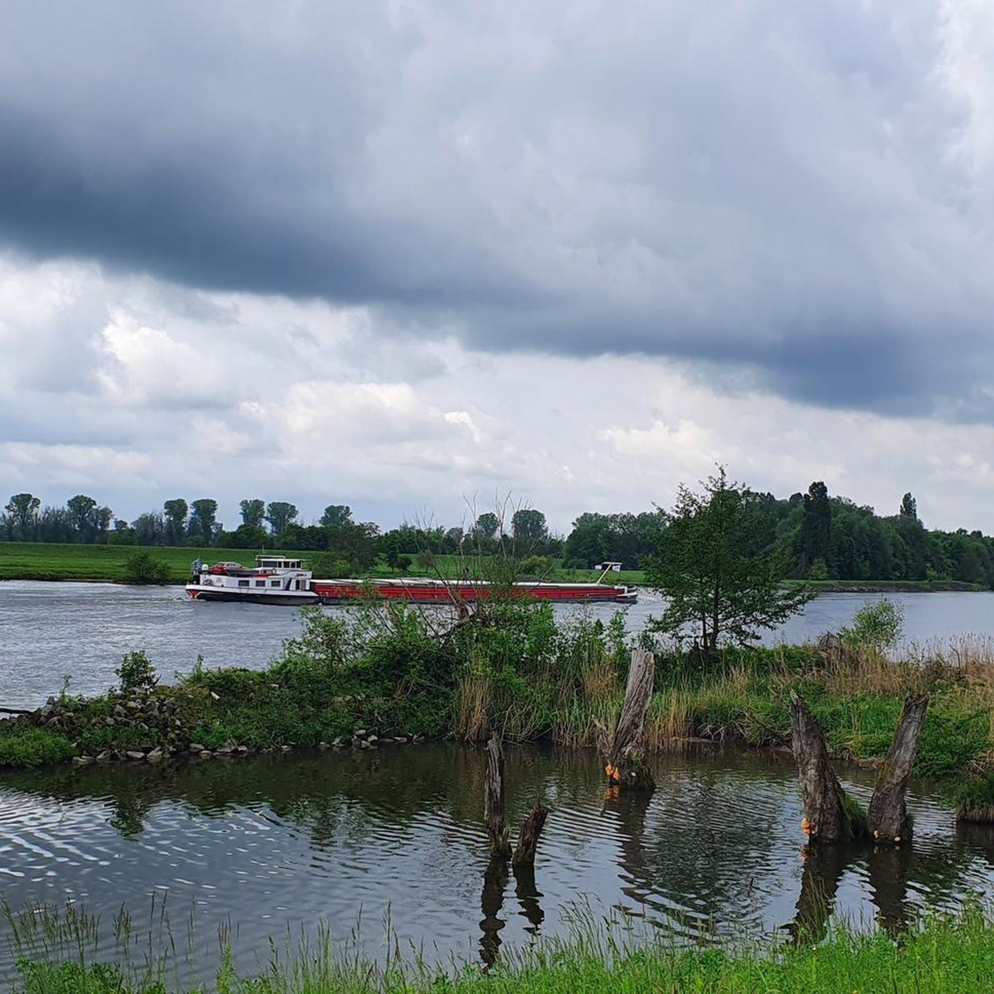
During the construction of the Straubing barrage, the six-kilometer-long Öberau Danube bend was shortened for shipping by cutting through the dam, creating an oxbow lake. It represents a representative section of the Danube floodplain landscape with its characteristic biota.
0
0

At this place there is also a geocaching hiding place
0
0

キルヒロートでのの人気観光スポット

komootモバイルアプリでインスピレーションを得よう


さらに探索
他の地域の最高のハイキングを見てみましょう。
