アッティングのおすすめウォーキング&ハイキングルート
4.5
(853)
5,415
ハイカー
533
ハイキング
アッティング周辺でのハイキングは、景色を満喫するのに最適な手段のひとつですが、適切なハイキングルートを見つけることは簡単ではありません。 アッティング周辺の人気ハイキング&ウォーキングコースを参考にすれば、行きたいルートをすぐに見つけられます。
最終更新日: 8月 29, 2026
5.0
(3)
18
ハイカー
6.18km
01:34
20m
20m
初級者向けハイキング. あらゆるフィットネスレベルに適しています。 進みやすいルートです。あらゆるスキルレベルに適しています。
5.0
(2)
23
ハイカー
初級者向けハイキング. あらゆるフィットネスレベルに適しています。 進みやすいルートです。あらゆるスキルレベルに適しています。

無料新規登録
2.0
(1)
4
ハイカー
8.24km
02:05
20m
20m
中程度のハイキング. ある程度のフィットネスレベルが必要です。 進みやすいルートです。あらゆるスキルレベルに適しています。
8
ハイカー
7.09km
01:48
20m
20m
初級者向けハイキング. あらゆるフィットネスレベルに適しています。 進みやすいルートです。あらゆるスキルレベルに適しています。
6
ハイカー
7.65km
01:56
20m
20m
初級者向けハイキング. あらゆるフィットネスレベルに適しています。 進みやすいルートです。あらゆるスキルレベルに適しています。
さらに多くのルートや他のユーザーのおすすめ情報を確認できます。
無料新規登録
すでにアカウントをお持ちですか?
おすすめのツアーは他のkomootユーザーが実際に経験した何千ものアクティビティに基づいています。
無料アカウントで今日から始めよう
次の冒険が待っています。
ログインまたは登録
コミュニティからのヒント

The MS Antonia (built in 2021) is a modern, first-class river cruise ship operated by Phoenix Reisen and Rijfers Nautical Management. The 135-meter-long and 11.40-meter-wide vessel accommodates 190 passengers in 96 cabins, most of which feature a French balcony. It sails on European rivers (including the Rhine and Danube). ... Technical Data and Facts: Length/Beam/Draft: 135 m / 11.40 m / 1.60 m Passenger Capacity: 190 Decks: 4 Cruising Company: RNM river cruises (Rijfers Nautical Management) Hotel Operations: sea chefs Flag: Switzerland / Malta (depending on the source) Crew: approx. 40 Cabins and Amenities: Cabins: Outside cabins (approx. 12–17), equipped with air conditioning, TV, minibar, safe, and coffee maker. Balconies: Cabins on the Saturn/Orion decks have French balconies, cabins on the Neptune deck have windows. Amenities: Panoramic restaurant, panoramic bar/lounge, aft bar, sun deck with pool, and sauna. Special Features: Elevator between the Saturn and Orion decks, recipient of the Green Award. The atmosphere on board is described as cozy and relaxed, with upscale comfort.
0
0
The Straubing Lock was constructed in 1993 as part of the Straubing Weir project to ensure the navigability of the Danube. The lock chamber is located at Danube kilometer 2322.02. With a chamber length of 264 meters, it has a usable length of 230 meters and a usable width of 24 meters. The lock chamber is constructed of concrete and is closed at both the upper and lower gates by a double-leaf mitre gate. Each mitre gate weighs 83 tons. The 14-meter-high and 12-meter-wide steel gates rest on a spherical bearing. The chamber is filled and emptied via bypass channels, each with two bypass gates at the upper and lower gates. The chamber fills in 20 minutes with a lock water volume of 44,000 cubic meters. A lockage takes 25 minutes. The lock has a total capacity of 73,000 cubic meters. The level of the upper edge of the lock platform is 321.5 m above sea level (NN), and the level of the lower lock sill is 308.7 m above sea level (NN). For maintenance and repair work on the gates and closures, the lock is equipped with a gantry crane with a lifting capacity of 100 tons, which can be moved along the entire length of the lock. At the associated weir of the Straubing power plant, the design impoundment level is 320 m above sea level (NN). The water level of the lower lock basin is 313.75 m above sea level (NN) at mean water level (MTF) and 312.32 m above sea level (NN) at regulated low water level (RNW). The corresponding head is 6.25 meters at MTF and 7.68 meters at MTW. An information panel at the facility states the lock head as 6.21 m. The lock is remotely controlled from the WSV control center in Regensburg.[1] This control center also remotely operates the Geisling, Regensburg, and Bad Abbach locks. Originally, the Straubing lock was operated from the lock tower on site. Immediately below the lower lock gate, the Kagers Bridge crosses the Alte Donau lock canal. The Danube's kilometer markers show a discrepancy of 7.9 kilometers at the Straubing lock. Therefore, both kilometer markers 2330 and 2322 are present at the lock basin. Source: https://de.wikipedia.org/wiki/Schleuse_Straubing
1
0

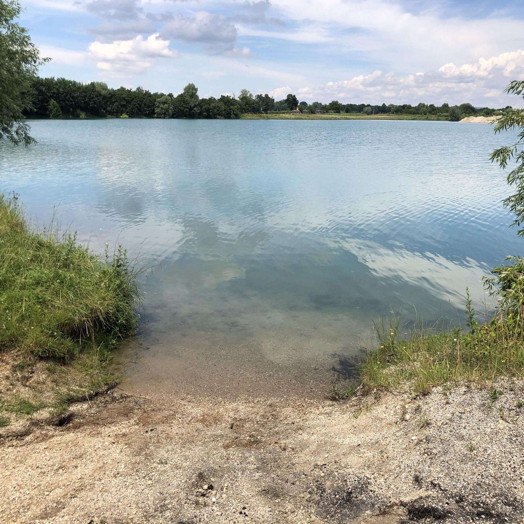
During the construction of the Straubing barrage, the six-kilometer-long Öberau Danube bend was shortened for shipping by cutting through the dam, creating an oxbow lake. It represents a representative section of the Danube floodplain landscape with its characteristic biota.
0
0

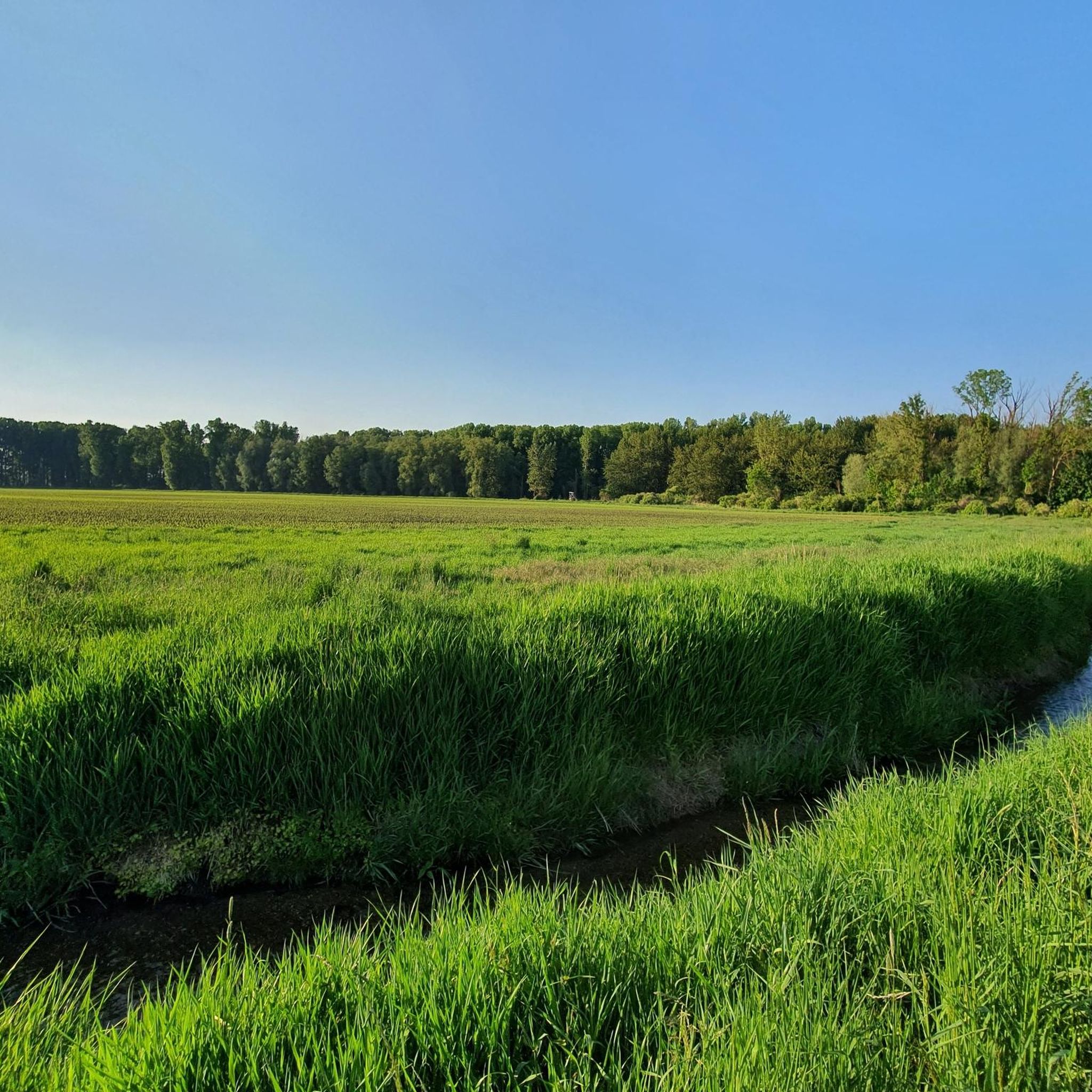
The Rainer Forest is a 250-hectare floodplain forest in the Danube Valley between Straubing and Regensburg in the municipality of Rain in the 1,289-hectare FFH area (DE7040302) and the EU bird sanctuary Forests in the Danube Valley.[1] It is one of 23 primeval forest relic species sites in Bavaria and is characterized by very high-quality stands of old oaks and swamp forests in the otherwise forest-poor Dungau region. From 2005 to 2012, the Bavarian Association for the Protection of Birds (LBV) acquired around 240 hectares of forest in order to preserve and improve it. A forest nature trail leads through the western part of the forest and a concept for environmental education is being drawn up.
1
0
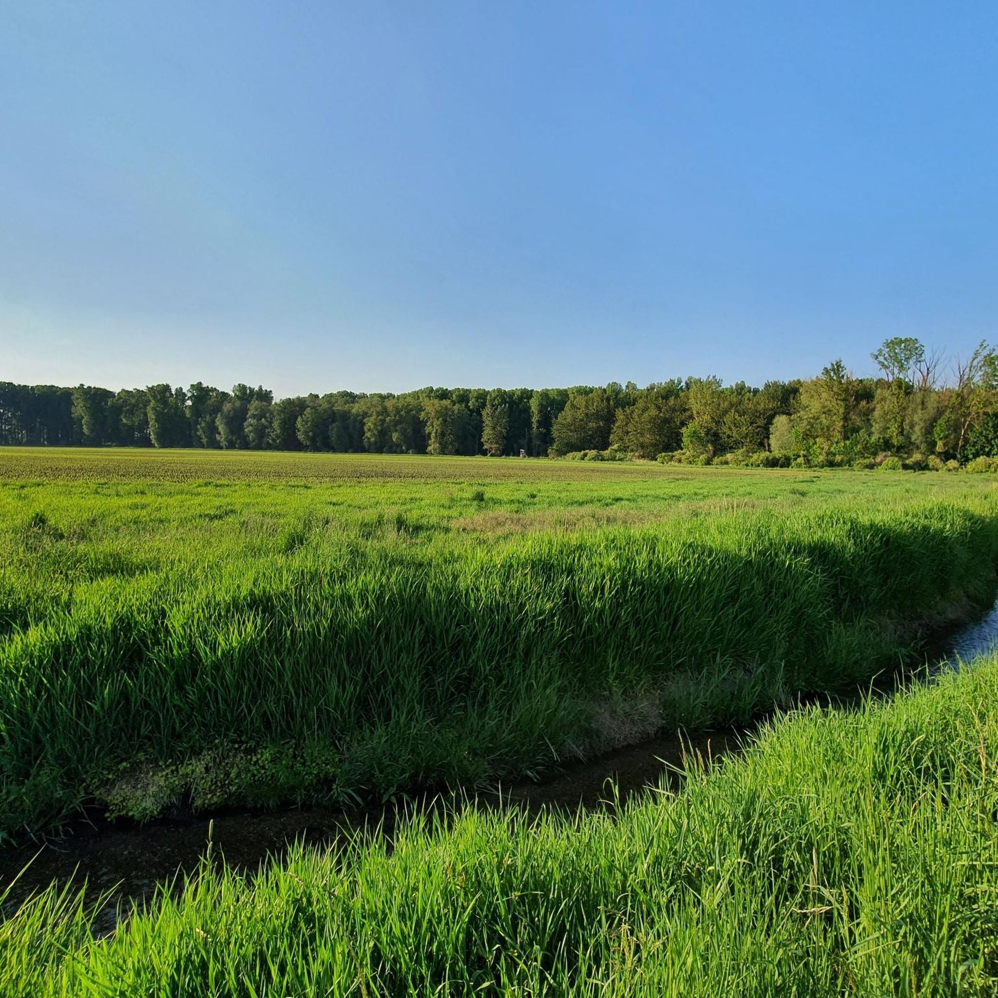
Here you can cross the Große Labber over a bridge and have a great view.
0
0

Untouched nature
2
0


The Rainer forest is great for walking and the paths are in good condition.
5
0
アッティングでのの人気観光スポット

komootモバイルアプリでインスピレーションを得よう


さらに探索
他の地域の最高のハイキングを見てみましょう。
