ケントのおすすめウォーキング&ハイキングルート
4.5
(9272)
64,581
ハイカー
4,294
ハイキング
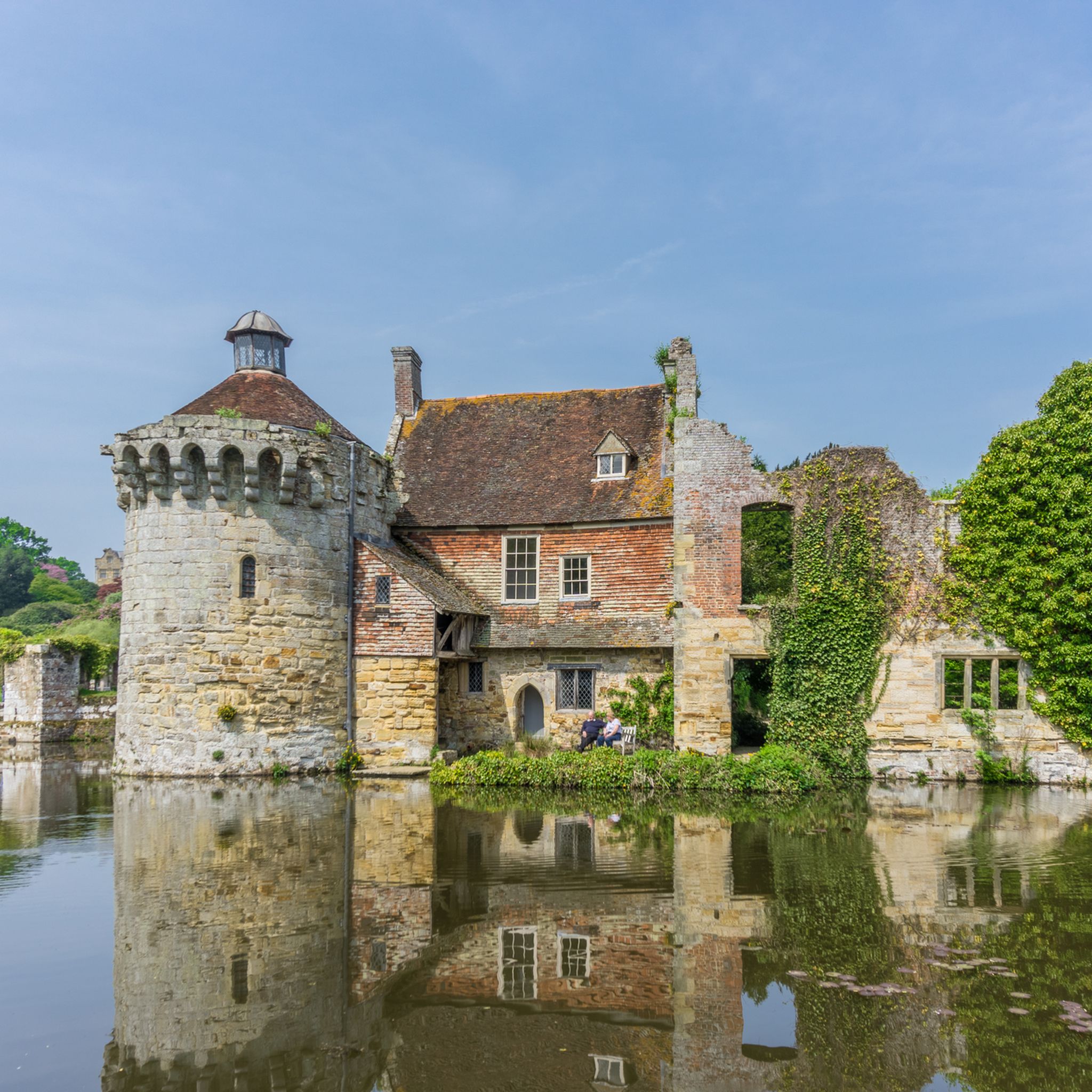
ケントでのハイキングに出かけて、イングランド南東部のこのエリアを探索してみませんか?このガイドでご紹介するのは、komootがケントでのハイキング・ウォーキングルートのコレクション全体を評価して選び抜いた、このエリアの人気ハイキングルートです。あなたに合った でのハイキングを見つけるには、他のユーザーがアップロードした役立つ情報や写真を閲覧し、各ルートに関するみんなの意見やコメントを参考にしましょう。
最終更新日: 10月 10, 2026
4.8
(108)
560
ハイカー
12.1km
03:17
170m
170m
Embark on the Ightham Mote to Knole Circular Walk, a moderate hike through the quintessential Kentish countryside. This route spans 7.5 miles (12.1 km) and involves a total elevation gain…
4.9
(120)
371
ハイカー
9.85km
02:49
230m
230m
Embark on the Otford loop to Round Hill & the North Downs Way, a moderate hike that takes you through the diverse landscapes of the Kent Downs. You will cover…

4.8
(67)
376
ハイカー
Embark on the North Downs Way: Wye Circular, a moderate hiking route that guides you through a diverse landscape of chalk downland, golden farmland, and peaceful woodlands. You will discover…
4.4
(45)
483
ハイカー
13.3km
03:30
120m
120m
Hike the Botany Bay to Broadstairs via Prince's Walk trail for a picturesque coastal journey along Kent's iconic white chalk cliffs. You will pass dramatic chalk stacks at Botany Bay…
4.6
(34)
264
ハイカー
28.3km
07:44
440m
440m
Embark on a challenging hike along the Kent coastline with the Folkestone to Dover loop on the Saxon Shore Way. This difficult 17.6-mile (28.3 km) route, taking around 7 hours…
4.7
(23)
119
ハイカー
17.1km
04:34
230m
130m
中程度のハイキング. ある程度のフィットネスレベルが必要です。 進みやすいルートです。あらゆるスキルレベルに適しています。
4.3
(55)
159
ハイカー
8.83km
02:22
100m
100m
Embark on the Bodiam Castle loop from Sandhurst Cross, a moderate hiking route that guides you through the picturesque High Weald National Landscape. This 5.5-mile (8.8 km) journey involves a…
4.6
(35)
154
ハイカー
16.9km
04:25
130m
130m
Embark on the King Charles III England Coast Path: Margate and Broadstairs Loop, a moderate hiking route that offers a refreshing coastal experience. This 10.5-mile (16.9 km) journey features dramatic…
4.6
(16)
92
ハイカー
13.9km
03:45
130m
240m
中程度のハイキング. ある程度のフィットネスレベルが必要です。 進みやすいルートです。あらゆるスキルレベルに適しています。
4.5
(57)
153
ハイカー
10.4km
02:50
160m
160m
Embark on a moderate hiking adventure through the Kent Downs, exploring varied terrain that includes chalk grasslands, rolling hills, and woodlands. This 6.4-mile (10.4 km) loop will lead you to…
さらに多くのルートや他のユーザーのおすすめ情報を確認できます。
すでにアカウントをお持ちですか?
おすすめのツアーは他のkomootユーザーが実際に経験した何千ものアクティビティに基づいています。




ケントでのの他の冒険


コミュニティからのヒント

ラベンダーは撤去され、代わりに小麦畑とムクドリが営巣できる長い草に置き換えられました。
0
0

そこではコンクリートを惜しみなく使ったが、自然がそれを克服した。
0
0

オットフォード・ダック・ポンドは、イングランド、ケント州の風光明媚なダレント・バレーにあるセヴノークス近郊のオットフォード村の中心部に位置する、歴史的で絵のように美しいランドマークです。標高約62メートルのこの魅力的な池は、英国で唯一グレードIIに指定されたアヒル池であり、その歴史的および地域社会的な重要性が認められています。優雅な柳の木々に囲まれ、専用のアヒル小屋があるこの池は、村の静かな中心地となっています。 訪問者は一貫して、この池ののどかな環境と歴史的な魅力を称賛しており、オットフォードのあらゆる探検の美しく愛らしい始まりと表現することがよくあります。登録された記念物としてのユニークな地位と、そこに住むアヒルや周囲の緑が作り出す穏やかな雰囲気は、ここを本当に特別な場所 にしています。村の中心部であるこの地域の景観上の重要性は広く認識されており、人々は静かな美しさを楽しむために訪れます。 池は中心部に位置しています
0
0

Most people who pass by such a war memorial commemorating the victims will not have experienced the horrors of war firsthand. A dialogue invented by the writer Paul Harding might help. It is from a medieval detective novel, and the following exchange takes place: "Tell me, brother, when you went to war in France with your little brother, were you happy?" Athelstan felt his heart leap. "Of course." He smiled thinly. "I was young then. My blood was boiling, and I longed for great adventures." "And when you found your brother dead and cold as ice on the battlefield and returned to England... what was there?" Athelstan looked out into the courtyard; it was slowly getting dark. "In the Gospel, Sir John, Christ says that at the end of the world, the heavens will shake, and the planets will fall to earth in blazing fire." Athelstan closed his eyes. He felt Francis's spirit quite clearly. “When I found my brother dead in the field,” he continued, “it was as if heaven had fallen to earth for me.” (Source: “The House of the Red Butcher” by Paul Harding)
0
0

Botany Bay, one of Thanet's most photographed bays, is famous. This hidden gem offers breathtaking views of white cliffs and beautiful chalk formations. At low tide, Botany Bay is an ideal spot for fossil hunting and exploring the tide pools. At high tide, there's plenty of exposed sand to discover, but due to the bay's shape, the ends are cut off at high tide. Helpful tide chart website: https://www.tideschart.com/United-Kingdom/England/Southend--on--Sea/Botany-Bay-Beach/
3
0
This magnificent, horseshoe-shaped bay is the main attraction of Broadstairs. It was the favorite holiday destination of Charles Dickens, who even dedicated a beloved story to it: "Our English Watering Place". The long sandy bay, the cliff-top promenade, and the wooden jetty make this bay a timelessly beautiful place.
3
0
Kingsgate Bay was originally called St. Bartholomew's Gate until King Charles II landed here in 1683 with his brother, the Duke of York, and ordered the renaming. Kingsgate Castle, built in 1763, stands majestically above the beach. Kingsgate Bay is home to some of the most beautiful sea caves in Thanet and is approximately 150 meters wide. The sandy bay offers peace and seclusion and is accessible via a steep staircase. At high tide, the sand is exposed, but the beach is cut off from the sea at both ends. https://www.visitthanet.co.uk/plan-your-visit/weather-and-tide-times/
3
0

komootモバイルアプリでインスピレーションを得よう


探していたものは見つかりませんでしたか?
ケントの下にある他のハイキングをチェックして、目的地で完璧なルートを見つけましょう。
さらに探索
他の地域の最高のハイキングを見てみましょう。
