アーガイルアンドビュート周辺のアトラクション&必見スポット - トップ20
アーガイルアンドビュートには必見のスポットがたくさんあります。ハイキング愛好家やサイクリング愛好家の方は、ぜひアーガイルアンドビュートを探索してこのエリアにある20
の隠れたスポットを訪れてみてください。このエリアの必見スポットを確認し、次の冒険に出かける計画を立てましょう。
最終更新日: 11月 7, 2026
コブラー(ベン・アーサー)
ハイライト • 山頂
役立つ情報 は

Beinn Dubh
ハイライト • 展望台
役立つ情報 は
今すぐサインアップして、こんな場所を発見しよう
最高のシングルトラック、ピーク、その他のエキサイティングなアウトドアスポットのおすすめを受け取ろう。
Beinn Narnain(ビーン・ナルナイン)
ハイライト • 自然記念物
役立つ情報 は
ベン・ヴェイン山頂
ハイライト • 登山
役立つ情報 は

ベン・モア山頂
ハイライト • 自然記念物
役立つ情報 は

Beinn Ìme
ハイライト • 自然記念物
役立つ情報 は

Beinn Dorain
ハイライト • 山道
役立つ情報 は
Cruach Tairbeirt 山頂
ハイライト • 山頂
Stunning views of Loch Lomond Loch Long , Ben Lomond and the Arrochar Alps 👍
役立つ情報 は

ベン・ドニック山頂
ハイライト • 展望台
役立つ情報 は

ベイン・ヴォール山頂
ハイライト • 自然記念物
役立つ情報 は

無料でサインアップして、さらに多くの観光スポットを発見しましょう アーガイルアンドビュートでの。
すでにアカウントをお持ちですか?
無料アカウントで今日から始めよう
次の冒険が待っています。
アーガイルアンドビュート周辺で人気
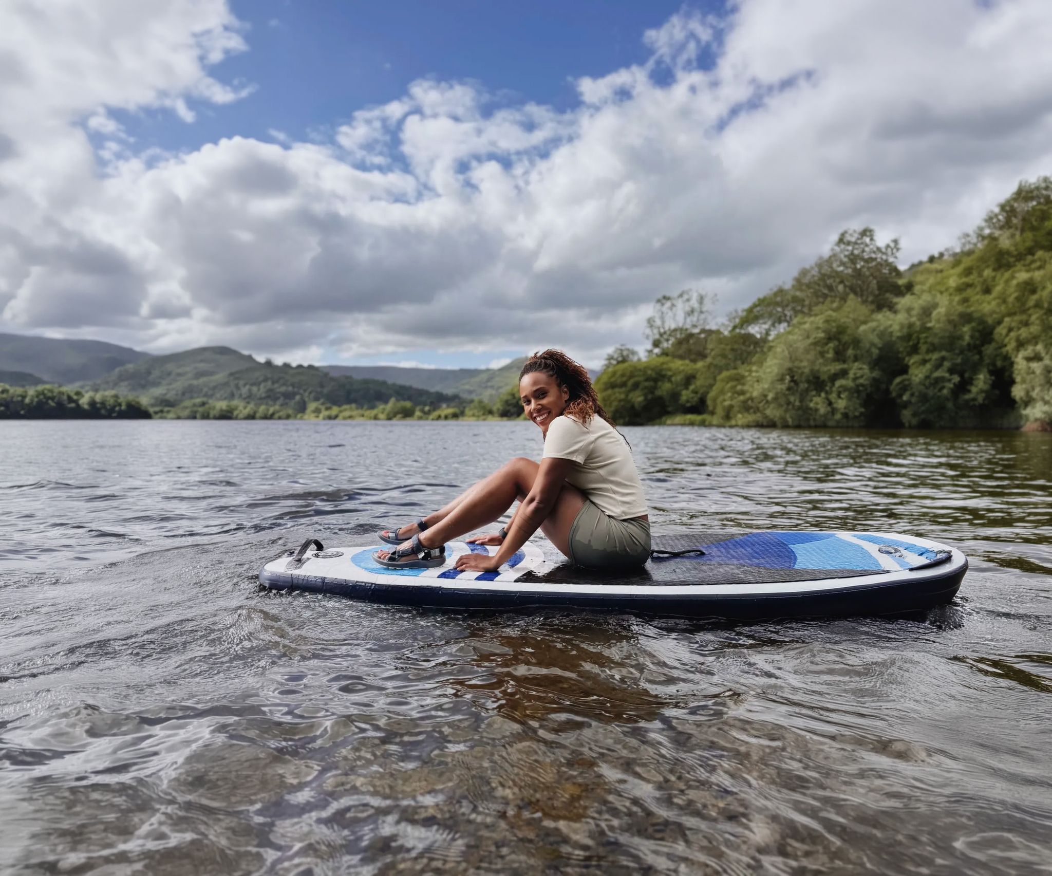
Scenic hikes to stand-up paddleboarding locations in the UK
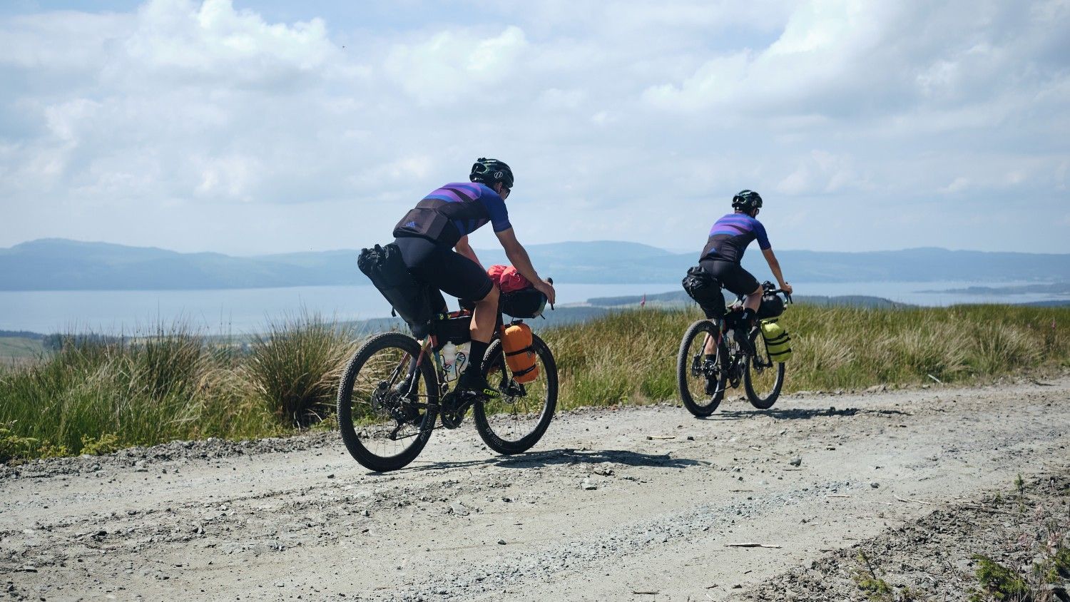
サイクリングスコットランドのロックと海岸線 — ワイルドアバウトアージラルトレイル
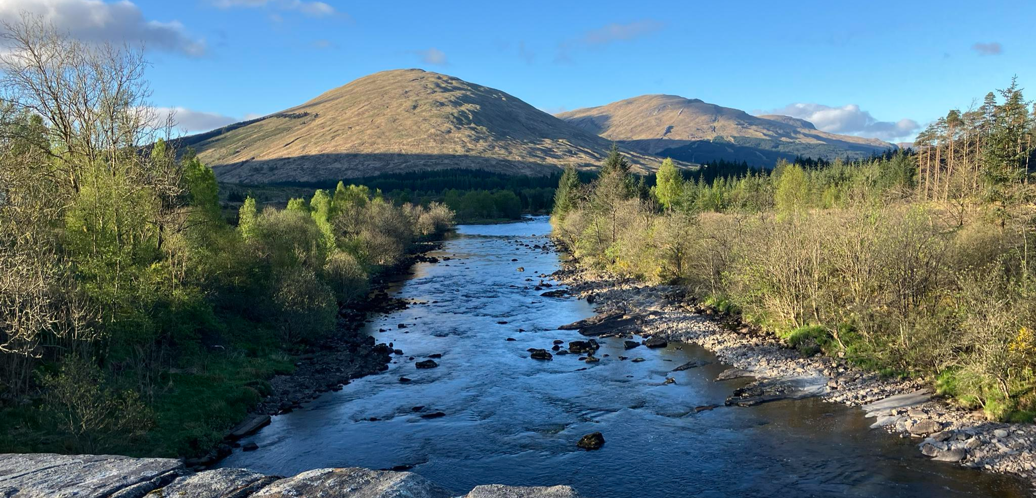
Scotland’s Great Trails –Running the West Highland Way
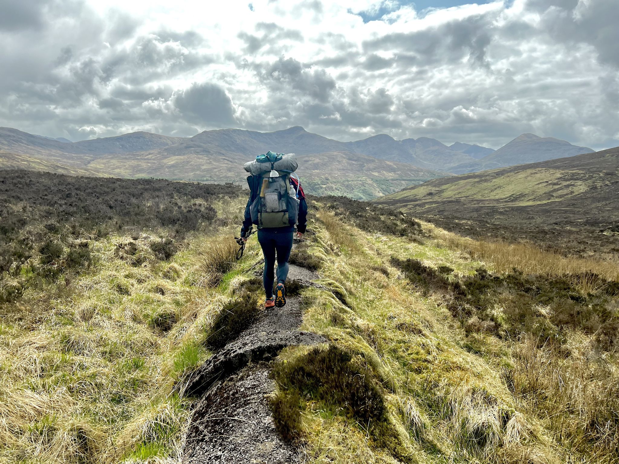
コースト・トゥ・コースト:オバンからモントローズ - TGO Challenge 2023
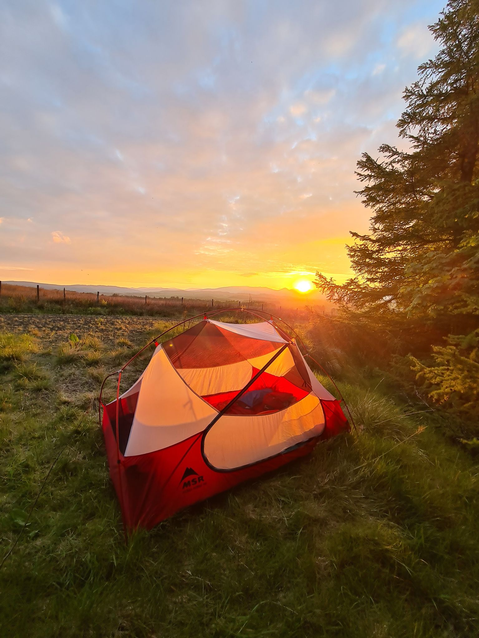
ジョン・ミューア・ウェイ - スコットランドの海岸から海岸までの保護者
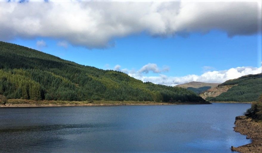
幻想的で常に変化する島のハイキング - ウエストアイランドウェイ
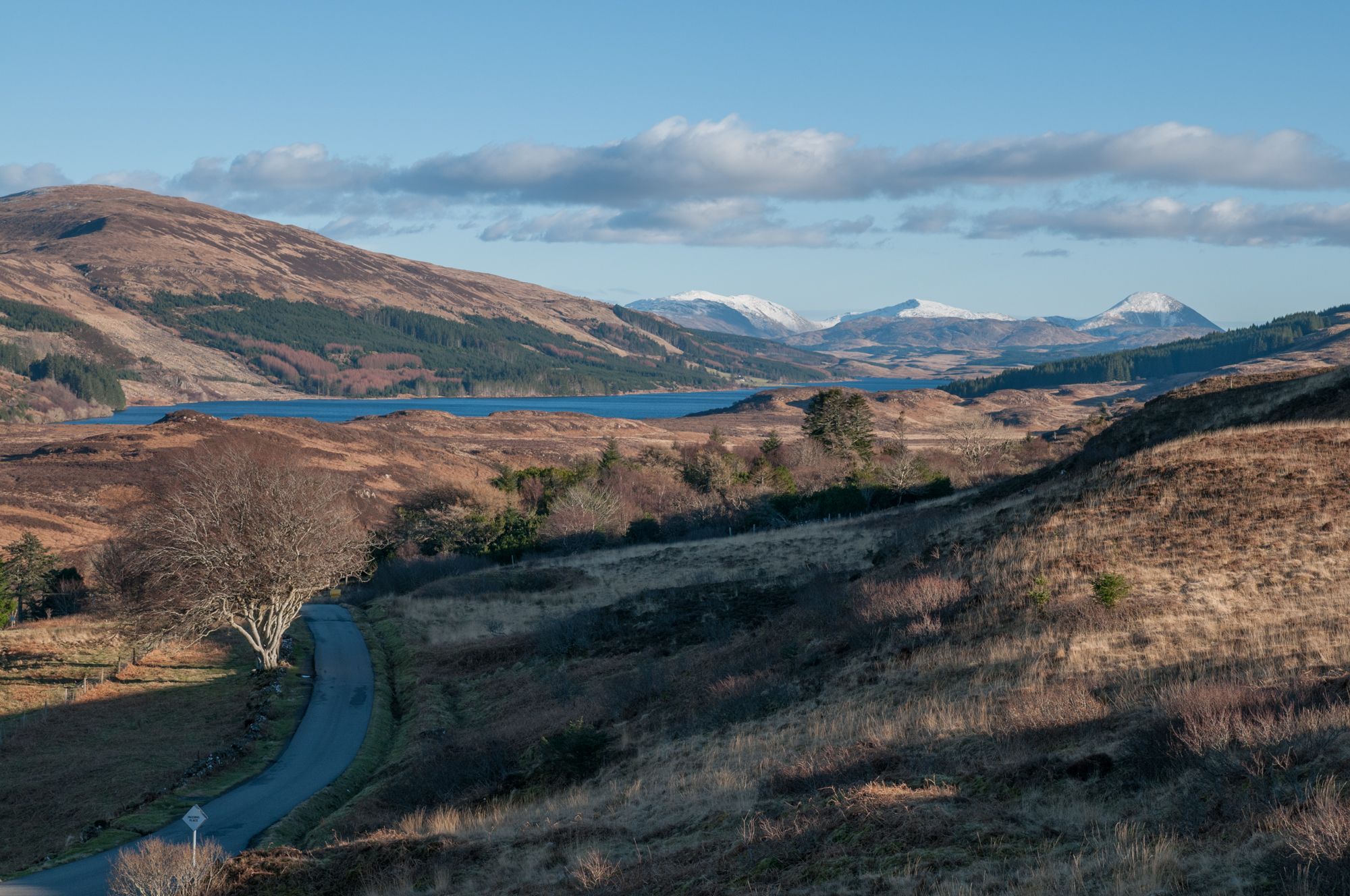
インナーヘブリデス諸島の自転車で島ホッピング - ウエストアイランドトレイル
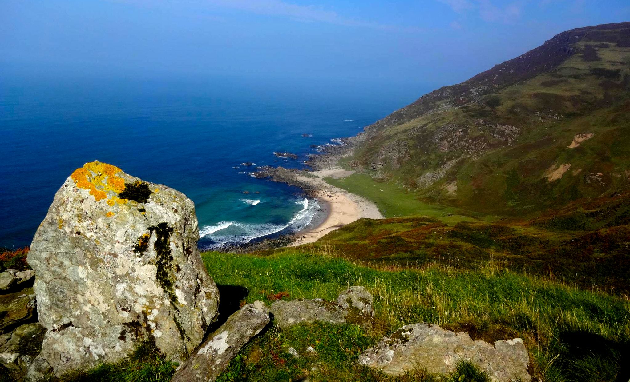
野生な海岸と空の丘を沿う半島ハイキング - Kintyre Way
スコットランドを57マイルで経験してください — ロック・ロモンドとカウアル・ウェイ
低地からハイランドまでの収束を奪うハイキング — Three Lochs Way
アーガイルアンドビュートでのの他の冒険


コミュニティからのヒント

Arrocharからのルートは、大雨の際には実質的に小川へと変わります。多少のルートファインディングが必要で、時計にコースを設定しておいて本当に良かったと思いました。山頂直前のコル(鞍部)は強風にさらされますが、私が行った時は風が弱まり、山頂の風速はむしろ低いくらいでした。素晴らしい周回コースで、Glasgowからの日帰り旅行として簡単に楽しめます。
0
0

非常に美しく、中程度の長さのハイキングで、技術的な要求は高くありません。頂上への尾根の部分は私たちにとっては非常に風が強く、小雨が片側から私たちを打ちました。帰り道で雨が止み、雲の下で素晴らしい景色を楽しむことができました。ダウンロードしたトラック付きのGPSを持っていました。そのため、道に迷うことはありませんでした。森林限界の上では、道はATVで踏み固められた草だけです。しかし、道に迷ったとしても、おそらく問題はないでしょう。ただ草地を歩いて頂上まで行けばよいのです。
0
0


Travelled here January this year when it just snowed the night before. Ascended from the north after The Cobbler, and the snow was pretty deep (over ankle), making the journey strenuous. The way down was blazing beautiful under the sunset, but it was quite dangerous as the passage was steep, narrow and slippery with all the snow. Ice axe stopped a couple of slips that could end up very unfavourably for me : ) But overall it's an unforgettable day
0
0

Ben Dolich (857m) is located on the western edge of Loch Lomond & The Trossachs National Park, southwest of the Cobbler mountain. The route to the summit begins at the famous Rest and Be Thankful viewpoint. This "relatively" short hike (approx. 7.5-9 km) offers magnificent 360° views and initially leads up forest paths (more like small streams after rain) and steep, grassy slopes, often quite damp. A short scramble (5 m) requires descending. If the rock is dry, this is no problem at all. If it's wet, be careful, but it's easily doable, with nice footholds. The summit is a few hundred more (flatter) meters to climb. From up here: a sensational 360° view! Conclusion: it's worth it, relatively. rarely used, never really difficult, only steep in places but still never easy enough to walk absentmindedly.
0
0
アーガイルアンドビュートでのの人気ルート

komootモバイルアプリでインスピレーションを得よう


探していたものは見つかりませんでしたか?
近くの素晴らしい場所をもっと探索したいですか?ガイドを見てみましょう:
さらに探索
まだ探しているハイライトが見つかりませんか?他の地域のトップアトラクションのガイドを見てみましょう:
