ラヴァンの峠・トップ10
風景を楽しんだり、上りや下りを満喫したり、峠には楽しみ方がたくさんあります。ラヴァンの素晴らしい峠の一覧を参照して、思い出に残るアドベンチャーに出かけましょう。コミュニティのメンバーがコミュニティのために投稿した峠のハイライトは、他のユーザーが実際におすすめする情報なので、どれも信頼できるものです。気に入った峠にさっそく向かってみましょう。
最終更新日: 10月 13, 2026
ケルシュバウマー・トール峠
ハイライト • 山道
翻訳者 Google •
役立つ情報 は

ガイルベルクザッテル峠
ハイライト • 山道
翻訳者 Google •
役立つ情報 は

今すぐサインアップして、こんな場所を発見しよう
最高のシングルトラック、ピーク、その他のエキサイティングなアウトドアスポットのおすすめを受け取ろう。
イーゼルスベルク峠
ハイライト • 山道
翻訳を表示中
役立つ情報 は

オーバードラウブルクからガイルベルクザッテルへの北側登り
ハイライト (セグメント) • 山道
翻訳者 Google •
役立つ情報 は

プステルタール・ヒューエンシュトラーセ:ライザッハからバンベルク(1,262m)
ハイライト (セグメント) • 山道
翻訳者 Google •
役立つ情報 は

無料でサインアップして、さらに多くの山道を発見しましょう ラヴァンでの。
すでにアカウントをお持ちですか?



コミュニティからのヒント

きついけど景色は最高!
0
0
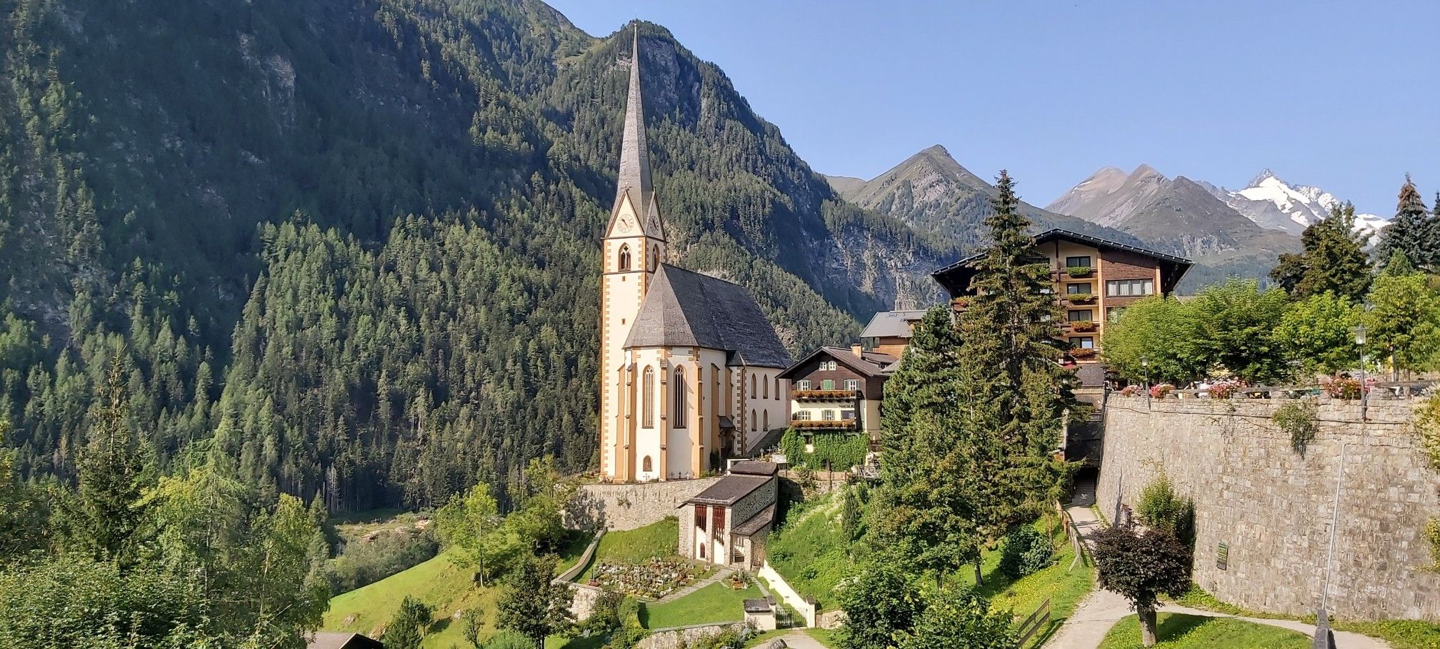
scenically beautiful transition from the Karlsbader Hütte to the Kerschbaumer Alm
0
0

Nice thing! Lots of bends and a consistent gradient mean that once you've found your rhythm, you can just wind your way up the hill and conquer the hill very quickly. In my experience, it's also good for a 20-minute test if you want to do one on the hill. The only thing that makes the situation a little less pleasant is the fact that the transit character means there's a lot of traffic - especially trucks.
1
0
Connecting saddle between Oberdrauburg and Kötschach-Mauthen. Coming from the north, a beautiful climb where you can really let off steam, with various bends and longer straight sections; coming from the south, it's rather unspectacular. The type of mountain also leads to increased traffic. So it's better not to go at rush hour or during travel times, but rather early or late.
0
0
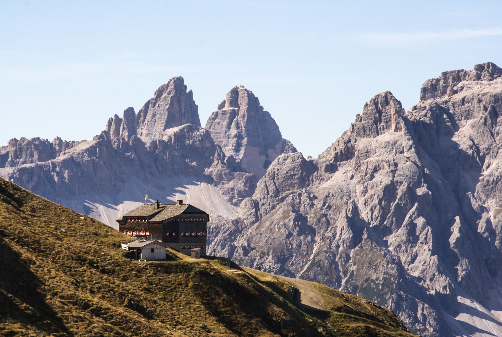
The first part is particularly tempting because of the extremely difficult start. It doesn't really get much better as the Pustertal High Mountain Road continues; it's more of a series of steep climbs, fast descents and heavenly views of the valley. It's definitely worth it, but it's not for the inexperienced!
3
1

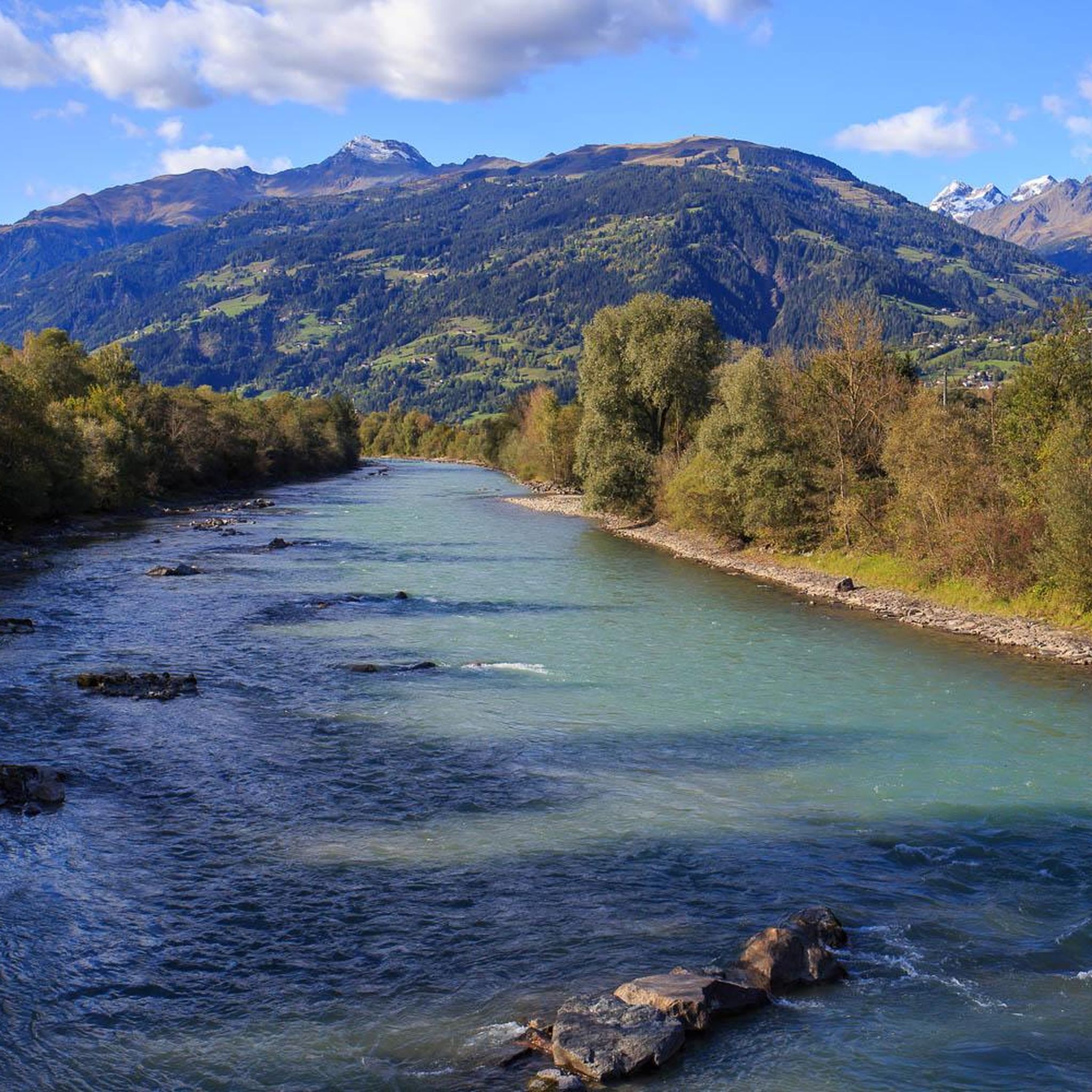
Very nice cycle path with good asphalt and a great panorama.
0
0

The ascent from the north side is especially recommended!
1
0

Großglockner-Hochalpenstraßeを走った後では、この峠はあまりにも地味でした。B107は交通量が多いので、上り坂では古いIselsbergstraßeをお勧めします。
7
1

komootモバイルアプリでインスピレーションを得よう


さらに探索
これらのガイドでさらに壮大な山道を見てみましょうラヴァンでの:
