ハインスベルクのおすすめウォーキング&ハイキングルート
4.5
(17341)
61,507
ハイカー
2,572
ハイキング
ハインスベルクでのハイキングに出かけて、ケルン地区のこのエリアを探索してみませんか?このガイドでご紹介するのは、komootがハインスベルクでのハイキング・ウォーキングルートのコレクション全体を評価して選び抜いた、このエリアの人気ハイキングルートです。あなたに合った でのハイキングを見つけるには、他のユーザーがアップロードした役立つ情報や写真を閲覧し、各ルートに関するみんなの意見やコメントを参考にしましょう。
最終更新日: 9月 30, 2026
4.8
(1261)
3,585
ハイカー
17.4km
04:32
120m
120m
中程度のハイキング. ある程度のフィットネスレベルが必要です。 進みやすいルートです。あらゆるスキルレベルに適しています。
4.6
(725)
2,155
ハイカー
11.3km
02:51
20m
20m
中程度のハイキング. ある程度のフィットネスレベルが必要です。 進みやすいルートです。あらゆるスキルレベルに適しています。

4.2
(56)
169
ハイカー
4.77km
01:12
10m
10m
初級者向けハイキング. あらゆるフィットネスレベルに適しています。 進みやすいルートです。あらゆるスキルレベルに適しています。
4.7
(20)
111
ハイカー
1.38km
00:21
0m
0m
初級者向けハイキング. あらゆるフィットネスレベルに適しています。 進みやすいルートです。あらゆるスキルレベルに適しています。
4.8
(380)
916
ハイカー
5.78km
01:29
30m
30m
初級者向けハイキング. あらゆるフィットネスレベルに適しています。 進みやすいルートです。あらゆるスキルレベルに適しています。
4.6
(355)
990
ハイカー
11.5km
02:59
60m
60m
中程度のハイキング. ある程度のフィットネスレベルが必要です。 進みやすいルートです。あらゆるスキルレベルに適しています。
4.6
(359)
982
ハイカー
10.4km
02:40
50m
50m
中程度のハイキング. ある程度のフィットネスレベルが必要です。 進みやすいルートです。あらゆるスキルレベルに適しています。
4.8
(352)
891
ハイカー
6.13km
01:35
30m
30m
初級者向けハイキング. あらゆるフィットネスレベルに適しています。 進みやすいルートです。あらゆるスキルレベルに適しています。
4.8
(413)
1,212
ハイカー
9.65km
02:29
50m
50m
中程度のハイキング. ある程度のフィットネスレベルが必要です。 進みやすいルートです。あらゆるスキルレベルに適しています。
11
ハイカー
1.34km
00:21
10m
0m
初級者向けハイキング. あらゆるフィットネスレベルに適しています。 進みやすいルートです。あらゆるスキルレベルに適しています。
さらに多くのルートや他のユーザーのおすすめ情報を確認できます。
すでにアカウントをお持ちですか?
おすすめのツアーは他のkomootユーザーが実際に経験した何千ものアクティビティに基づいています。
ハインスベルクでのの他の冒険


コミュニティからのヒント

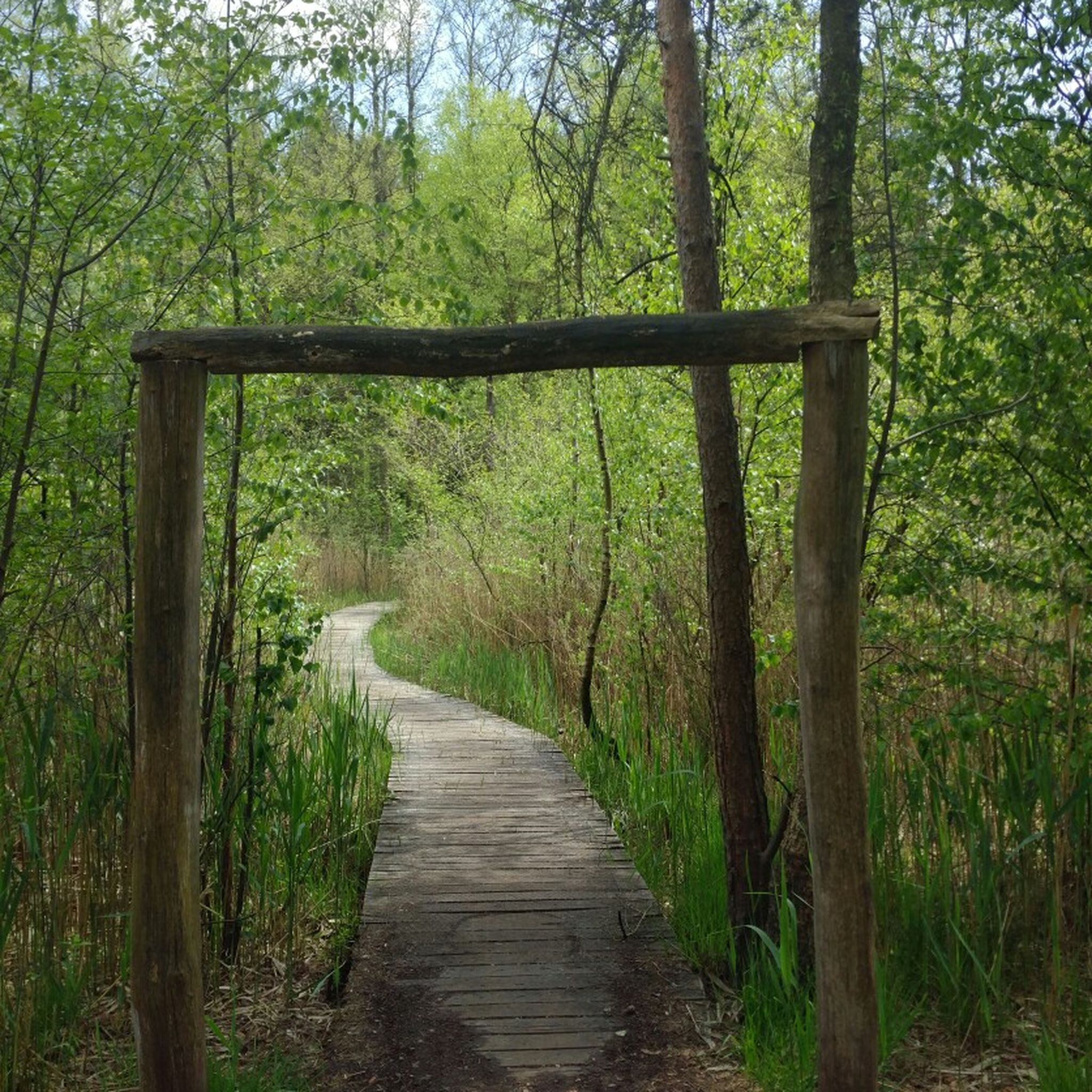
西ドイツでは他ではほとんど見られない、ユニークな湿原の風景。
0
0


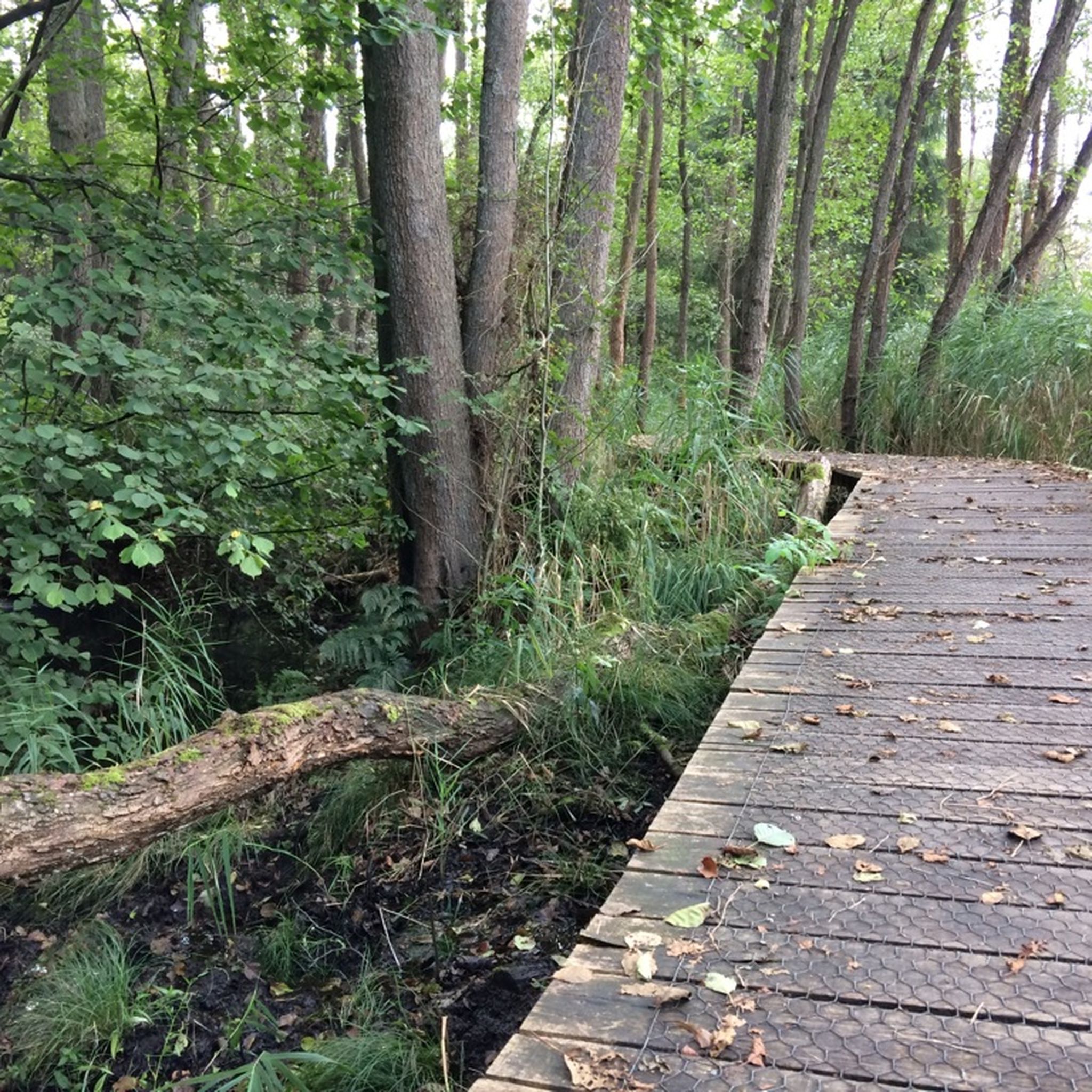
Rode Beek沿いの板張り遊歩道は、ぬかるんだ地面にはまるのを防ぎます。しかし、ここを訪れる人々による自然へのダメージも防ぎます。
0
0

製粉所裏の板張りの道には、犬を連れて入ることはできません...
1
0

The Dalheim Mill offers the opportunity to stop for refreshments.
1
0

Deer can be found here in the morning and evening.
1
0

In the Teverener Heide Nature Reserve (NSG), you'll find various official lookouts and rest areas along the hiking trails where you can enjoy panoramic views of the natural surroundings. These spots have been deliberately created to provide visitors with a resting place overlooking heathland, fens, marshland, or sandy areas, so you can not only explore but also actively experience and observe nature. Along the signposted hiking trails, such as the Heideroute (marked purple), the Veenroute (black), the Meerroute (blue), and the Grote Rondwandeling (yellow), you'll regularly encounter waymarkers, rest areas, and viewpoints, often equipped with benches or open areas overlooking the heathlands and wetlands. Many maps and hiking trails, such as the Teewensee Circular Walk, explicitly highlight a viewpoint in the NSG Teverener Heide, indicating that there is a place where hikers/visitors can stop for a wide view of the nature reserve. These viewpoints aren't always towers or platforms like those you might be familiar with from dune areas, but rather benches and open spaces on slightly elevated heathlands or the edges of fens, offering unobstructed views of the landscape—ideal for photography, birdwatching, or simply enjoying the tranquility of the heathland.
0
0
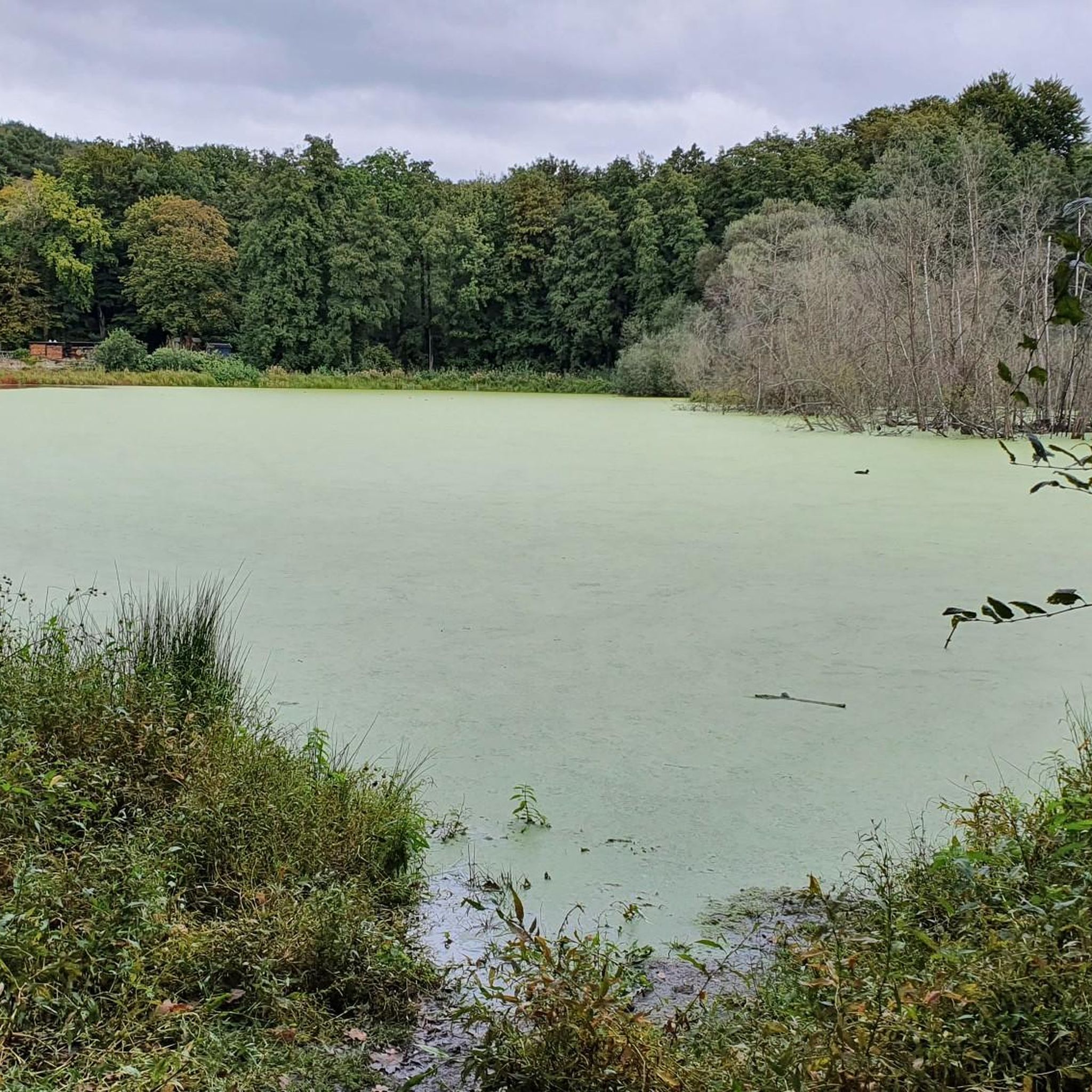
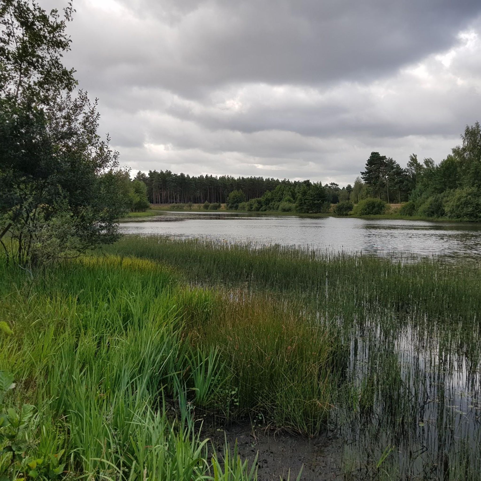
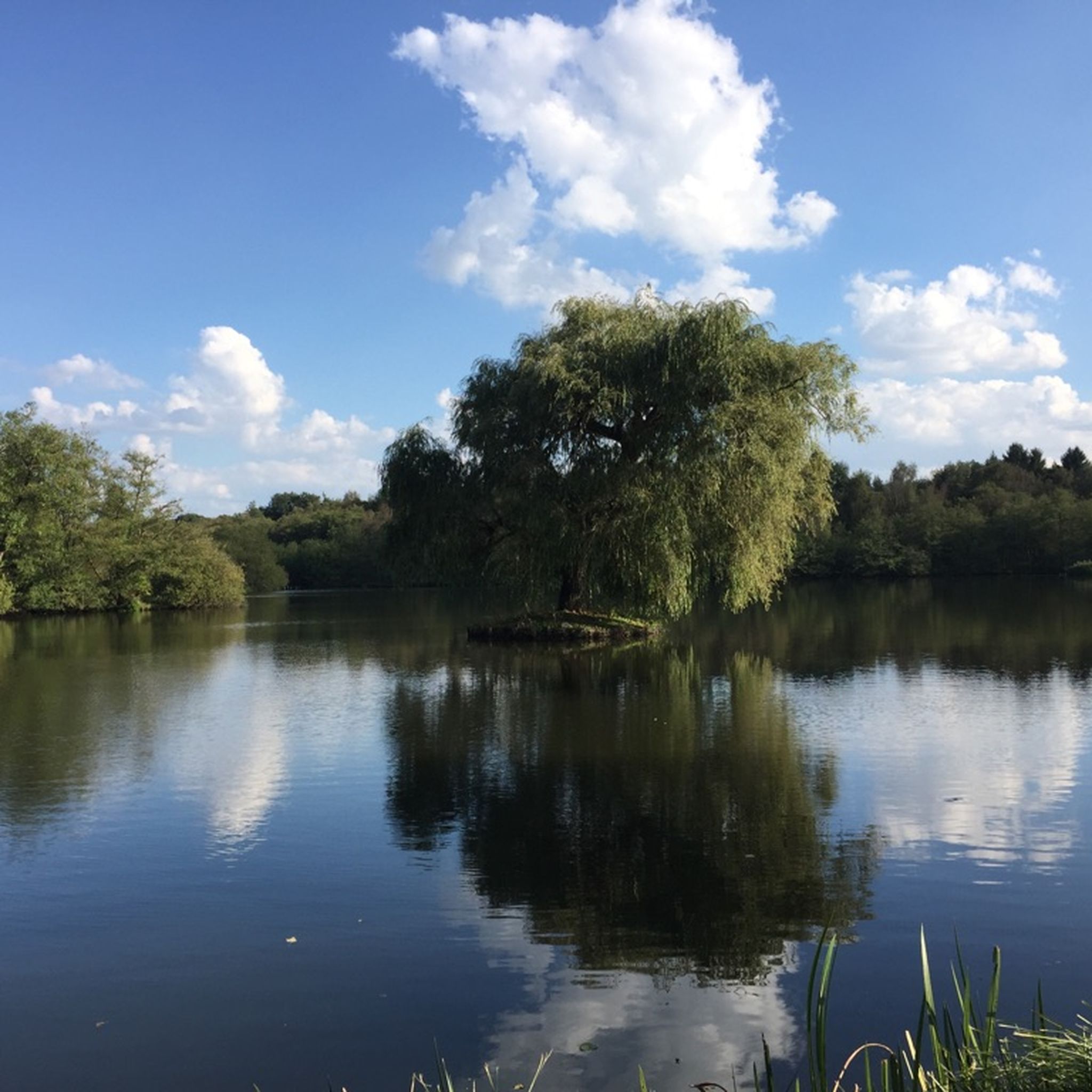
Teewensee is an idyllic lake surrounded by vast dunes and wooded areas, a place where water and sand blend harmoniously. Reeds and wild plants grow along the banks, while the open water provides a haven for birds, dragonflies, and other aquatic creatures. The area exudes peace and tranquility, ideal for walks or short breaks where you can fully immerse yourself in nature. The play of light on the water and the soft colors of the dunes change with each season, making Teewensee a photogenic and serene natural wonder.
0
0
ハインスベルクでのの人気観光スポット

komootモバイルアプリでインスピレーションを得よう


探していたものは見つかりませんでしたか?
ハインスベルクの下にある他のハイキングをチェックして、目的地で完璧なルートを見つけましょう。
さらに探索
他の地域の最高のハイキングを見てみましょう。
