ブレニオの峠・トップ20
風景を楽しんだり、上りや下りを満喫したり、峠には楽しみ方がたくさんあります。ブレニオの素晴らしい峠の一覧を参照して、思い出に残るアドベンチャーに出かけましょう。コミュニティのメンバーがコミュニティのために投稿した峠のハイライトは、他のユーザーが実際におすすめする情報なので、どれも信頼できるものです。気に入った峠にさっそく向かってみましょう。
最終更新日: 9月 29, 2026
ルクマニエ峠
ハイライト • 山道
翻訳者 Google •
役立つ情報 は

パッソ・デル・ソーレ
ハイライト • 山道
翻訳者 Google •
役立つ情報 は

今すぐサインアップして、こんな場所を発見しよう
最高のシングルトラック、ピーク、その他のエキサイティングなアウトドアスポットのおすすめを受け取ろう。
パッソ・ディ・ガナ・ネグラ(ブラックロックス峠)
ハイライト • 山道
翻訳者 Google •
役立つ情報 は

ブレニオ–ルコマーニョ サイクリングルート36番
ハイライト • サイクリングロード
Through the sun-drenched Valle di Blenio, steeply up to the Passo del Lucomagno, one of the most beautiful pass landscapes in Switzerland. Along the reservoir into …
翻訳者 Google •
役立つ情報 は

ルクマニア峠とオスピツィオ・デル・ルコマーニョ
ハイライト • 山道
翻訳者 Google •
役立つ情報 は

ディゼンティスからルクマニエ峠
ハイライト (セグメント) • 山道
翻訳者 Google •
役立つ情報 は

Passo Soreda
ハイライト • 山道
ラバの道が数十年にわたって荒廃にさらされた後、1998年以来、Passo Soredaでは毎年作業が行われています。この歴史的なルートを保存するためのLänta-HütteとSACの努力は目を見張るものがあります。瓦礫のある道の区間はますます通行しやすくなり、標識に関しては、濃い霧の中でも正しい道を見つけることができ、露出している場所にはつかまることができるチェーンがあります。
翻訳を表示中
役立つ情報 は
オリヴォーネからのルクマニエ峠
ハイライト (セグメント) • 山道
翻訳者 Google •
役立つ情報 は

バッサ・ディ・ナラ峠
ハイライト • 山道
翻訳者 Google •
役立つ情報 は
ルクマニエ峠(南側)への別ルート
ハイライト • サイクリングロード
翻訳者 Google •
役立つ情報 は

無料でサインアップして、さらに多くの山道を発見しましょう ブレニオでの。
すでにアカウントをお持ちですか?
無料アカウントで今日から始めよう
次の冒険が待っています。
ブレニオ周辺で人気

Alpine Passes Trail - サウファーシラールトリアルド 700km インスラールト

純粋な山の楽しみの34ステージ - スイスのアルプス山峠トレイルでハイキング
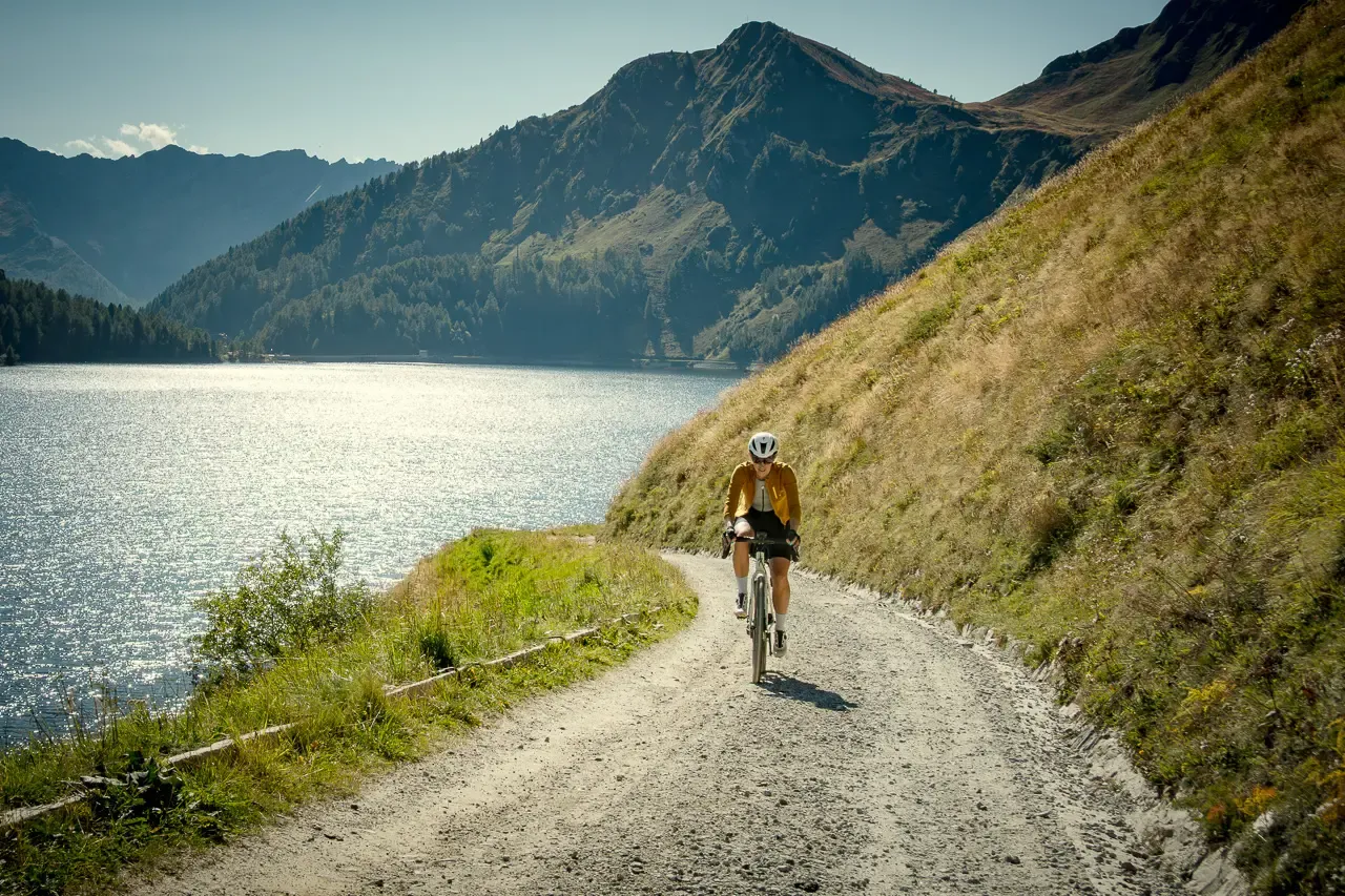
Ticino hut-to-hut: a 3-day alpine gravel escape
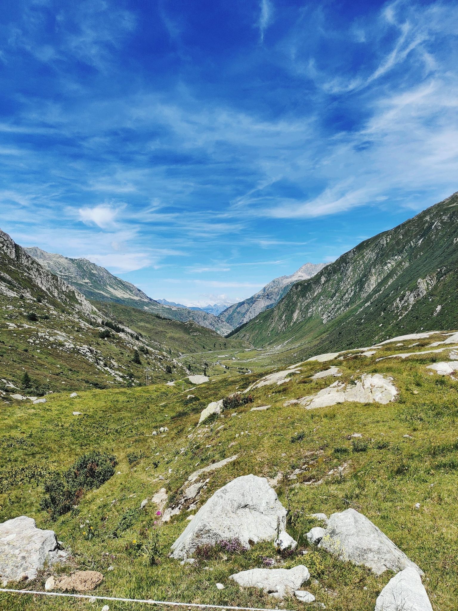
アルプスの伝説の交差 - ゴッタルドバイクルート
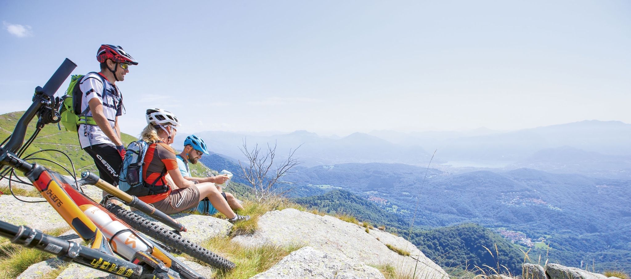
Ride together – the komoot MTB relay through Ticino in Switzerland
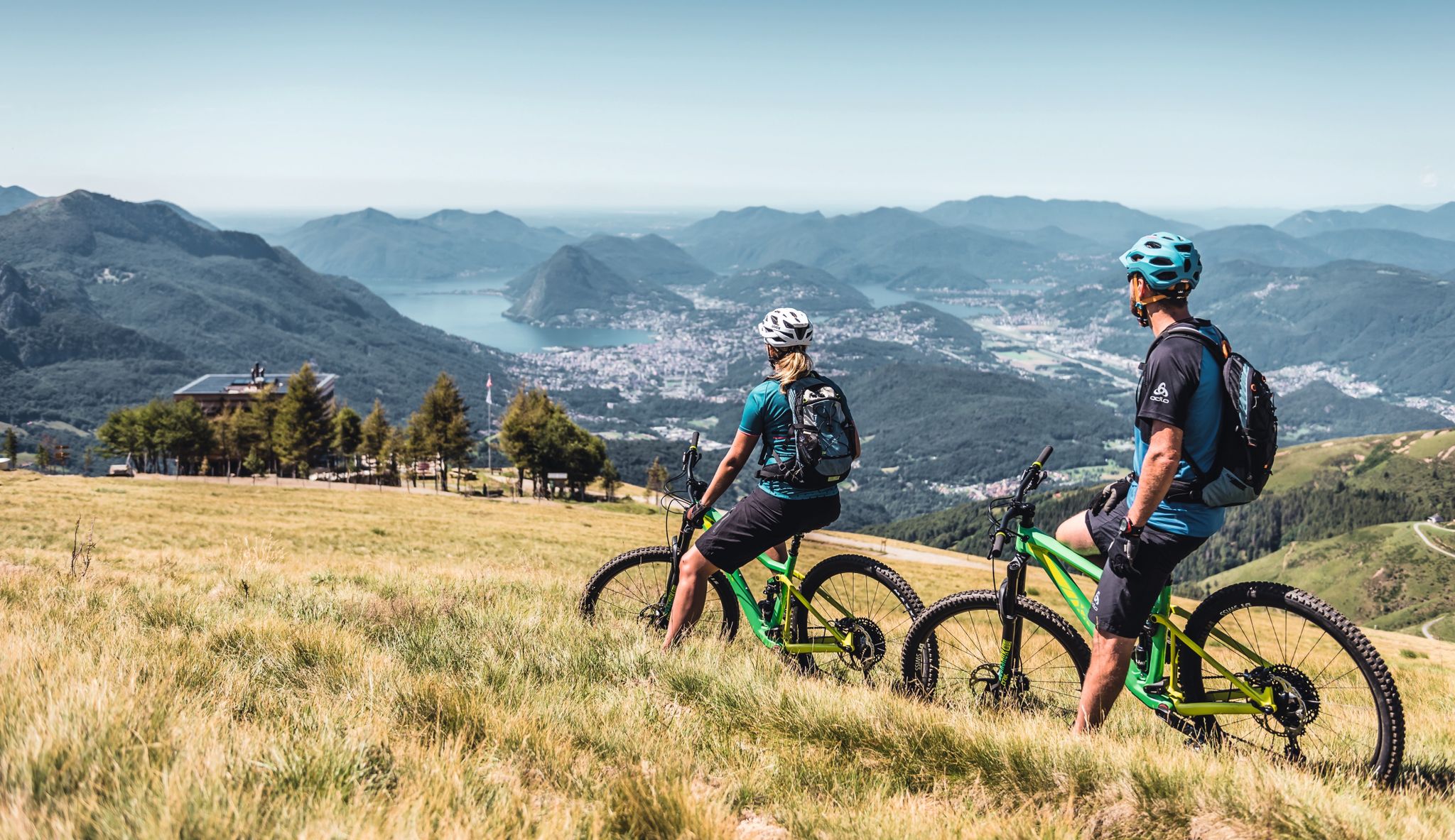
Wine, mountains & lakes – six top MTB Tours in Ticino in Switzerland
ブレニオでのハイキング
ブレニオのMTBトレイル
ブレニオでのサイクリング
ブレニオのランニングコース


コミュニティからのヒント


Scenic pass that is opened all year round (closes at 6pm in winter). There is hardly any traffic which makes cycling very nice and plenty of opportunities to take pictures. We crossed the pass in early May when there was still plenty of snow up there. The change in scenery where it was all green at Disentis and slowly turning white as we climbed higher... and very quickly turned to green as we rolled down on the south side to Biasca was breathtaking.
1
1

The Lukmanier Pass can also be reached from Ticino. The pass section begins in Olivone. The wide, well-paved road through the Valle Santa Maria is practically never particularly steep, allowing you to admire the beautiful landscape. Due to its relatively low altitude, the pass is also open in winter.
0
0
Because of the many tunnels, you should definitely have lights (which are mandatory anyway) mounted on the front and rear of your bike when riding over the Lukmanier Pass.
1
0

Descent to Lucomagno done on Gravel (45mm tires, only got off the bike a couple of times)
0
0

The Lucomagno is one of the most famous Alpine passes in Switzerland. It is located between the cantons of Ticino and Grisons, at an altitude of 1,926 meters. The name seems to derive from the Latin "locus magnus", meaning "large, open place". It is often tackled in the professional race of the Tour of Switzerland.
3
0

The black rocks are really wonderful to look at. Was one of the highlights of my tour.
2
0

great and long descent towards Biasca
0
0

komootモバイルアプリでインスピレーションを得よう


さらに探索
これらのガイドでさらに壮大な山道を見てみましょうブレニオでの:
