ルート

プランナー

機能

アップデート

App

ログインまたはサインアップ

アプリを入手

ログインまたはサインアップ

ルート
Places to see
ドイツ
ニーダーザクセン
グラフシャフトベントハイム

ゲオルクスドルフ

ゲオルクスドルフ周辺のアトラクション&必見スポット - トップ20


ゲオルクスドルフには必見のスポットがたくさんあります。ハイキング愛好家やサイクリング愛好家の方は、ぜひゲオルクスドルフを探索してこのエリアにある20
の隠れたスポットを訪れてみてください。このエリアの必見スポットを確認し、次の冒険に出かける計画を立てましょう。

最終更新日: 8月 29, 2026

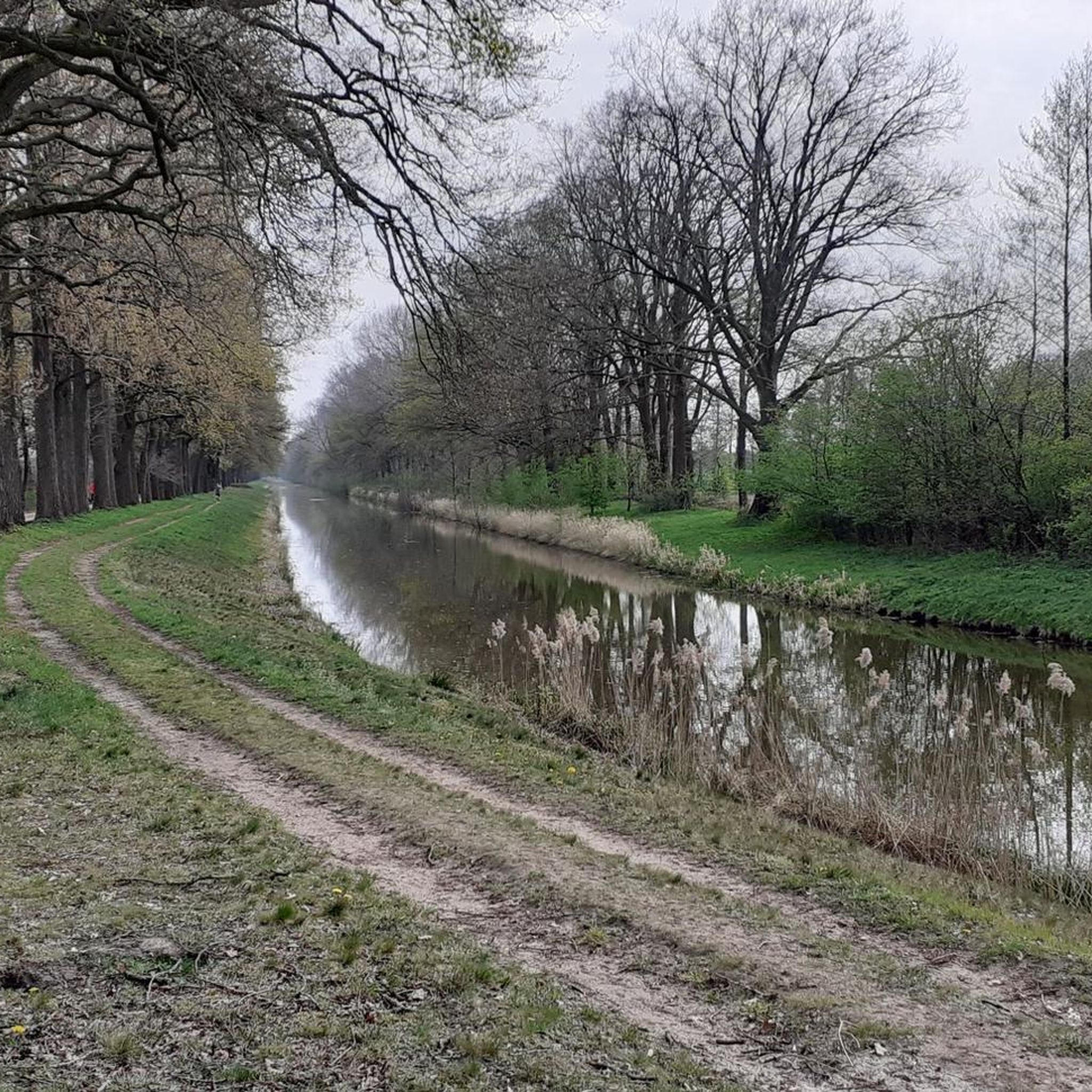
ダルム付近のエムス川の眺め

ハイライト • 展望台

Many beautiful sections for cycling on the Ems. Class! 👍🚲

翻訳者 Google •

役立つ情報

によるものです

ここでのライドを見る

スマートフォンに送信

保存

Great leisure lake with kiosk, restaurants, picnic areas, large playground, beach volleyball fields, fitness equipment and a swimming beach.

翻訳者 Google •

役立つ情報

によるものです

保存

今すぐサインアップして、こんな場所を発見しよう

最高のシングルトラック、ピーク、その他のエキサイティングなアウトドアスポットのおすすめを受け取ろう。

無料新規登録

南北運河の第1水門

ハイライト • 記念碑

Listed and largely preserved lock with lock keeper's house on the south-north channel. In the immediate vicinity is a Radlerschutzhütte.

翻訳者 Google •

役立つ情報

によるものです

保存

The Emsland Moor Museum is a truly fascinating place. Here you can learn everything about moors, peat, and the settlement history of the Emsland region.

You can find more information at
moormuseum.de.

翻訳者 Google •

役立つ情報

によるものです

保存

境界石160-V

ハイライト • 記念碑

The Bargerveen-Schoonebeek project is a cross-border collaboration in which different (water) buffer zones are implemented to protect the unique and endangered Bargerveen raised bog area. By combining functions such as …

翻訳者 Google •

役立つ情報

によるものです

保存

無料でサインアップして、さらに多くの観光スポットを発見しましょう ゲオルクスドルフでの。

無料新規登録

すでにアカウントをお持ちですか?
無料アカウントで今日から始めよう

次の冒険が待っています。

ログインまたは登録

ゲオルクスドルフ周辺で人気

The most beautiful bike tours through the moors of the Emsland

ゲオルクスドルフでのサイクリング

ゲオルクスドルフでののグラベルライド

ゲオルクスドルフのMTBトレイル

ゲオルクスドルフのロードバイクルート

ゲオルクスドルフでのハイキング

ゲオルクスドルフのランニングコース

ゲオルクスドルフでのの他の冒険

The most beautiful bike tours through the moors of the Emsland

サイクリングのコレクション によって

Emsland Tourismus GmbH

コミュニティからのヒント

Frederik
6月 22, 2026, Boundary Stone 160-V

NSG Bourtanger Moorの東側では、道はドイツとオランダの国境上を正確に通っています

Google翻訳による翻訳

1

0

Beautiful view over the Ems floodplain

Google翻訳による翻訳

5

0

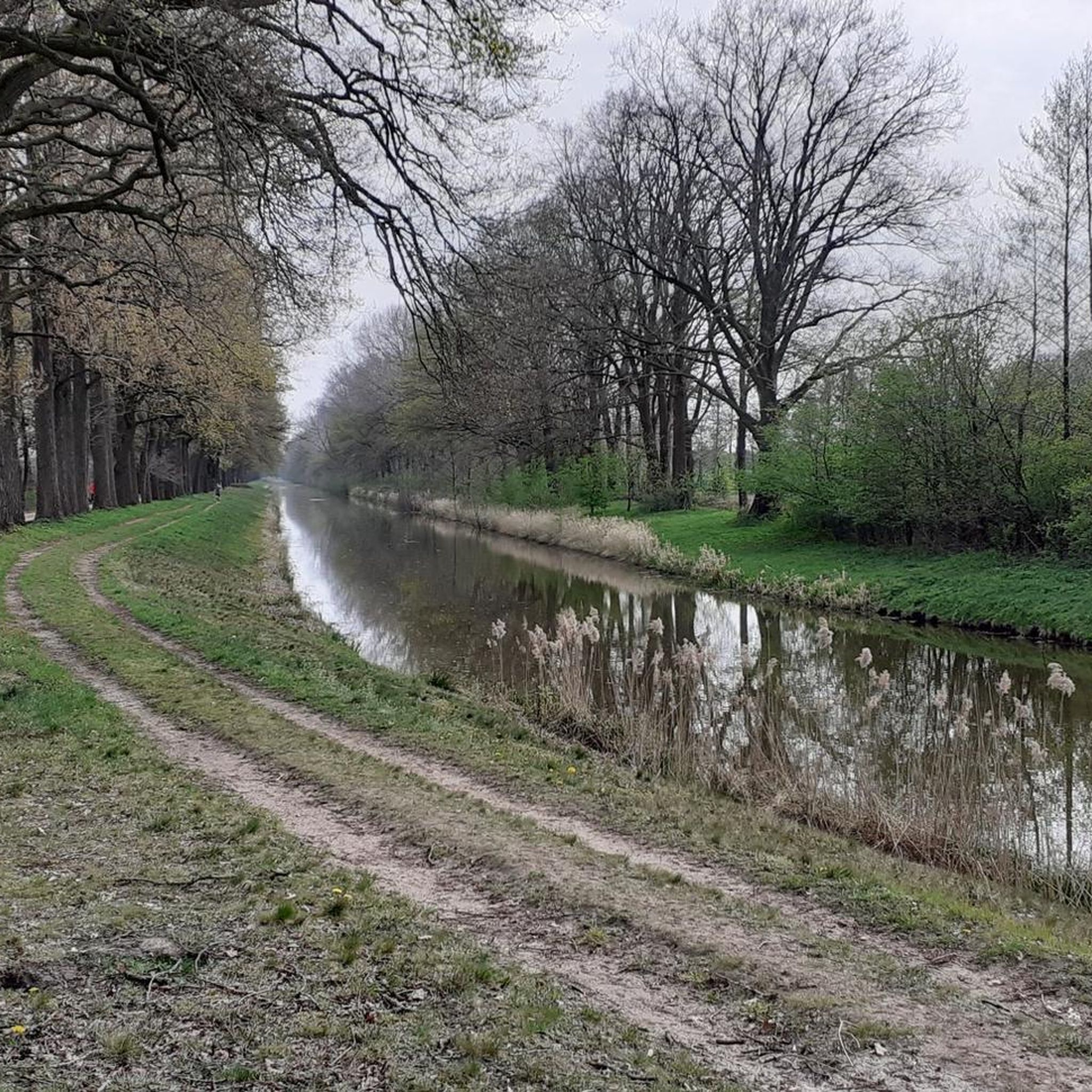
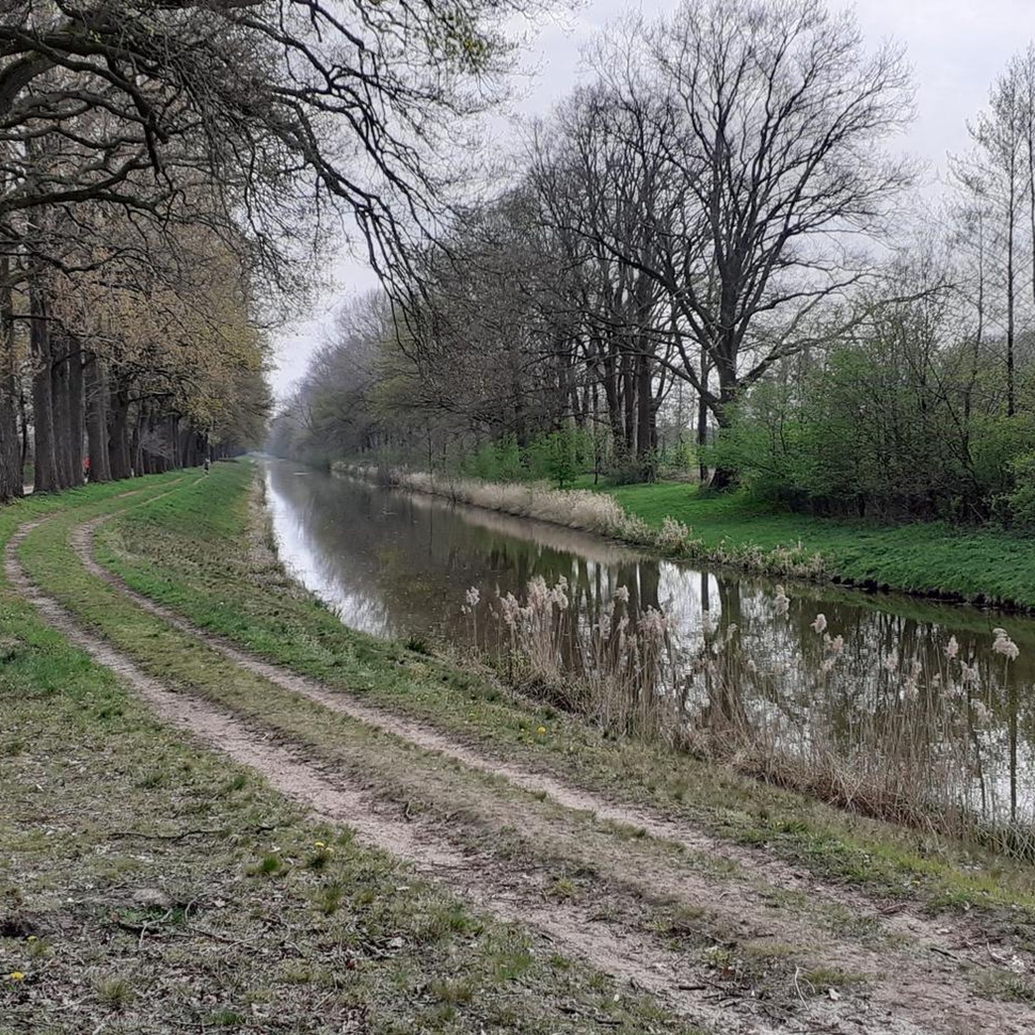
The 46 km long South-North Canal, which is part of the canal network on the left bank of the Ems, branches off from the Ems-Vechte Canal in Nordhorn and flows into the Haren-Rütenbrock Canal near Rütenbrock. It was navigable until the early 1960s and was used by ships to transport goods (peat) and to drain the moors. The canal, which is still important for drainage, is now well equipped for tourism. With its historic and listed locks and swing bridges, it is extremely popular with cyclists and hikers. Far away from traffic, you can take a relaxing ride along the canal and enjoy the beautiful nature, particularly from Nordhorn to Georgsdorf, on a wonderful cycle path. A section from Lock II to Lock IV is unpaved but easy to navigate. Several shelters invite you to linger.

Google翻訳による翻訳

4

0

Old bridge and lock system. Next to it there is a small hut with ice cream and seating for a short rest.

Google翻訳による翻訳

2

0

One of many "raised" boundary stones

Google翻訳による翻訳

0

0

If you want to know why the Emsland region looks the way it does today and also want to experience a bit of nature and technology, you have come to the right place.

Google翻訳による翻訳

3

0

Great route on the south-north canal in the direction of Georgsdorf

Google翻訳による翻訳

2

0

lock on the canal.

Google翻訳による翻訳

2

1

ゲオルクスドルフでのの人気ルート

ゲオルクスドルフでのサイクリング

ゲオルクスドルフでのの人気観光スポット

Natural Monuments

Store rating

komootモバイルアプリでインスピレーションを得よう

無料のkomootアカウントがあれば、無限のアウトドアコースを簡単に見つけてカスタマイズし、ナビで案内できます。

または

今すぐkomootに参加しよう

Store rating

さらに探索

まだ探しているハイライトが見つかりませんか?他の地域のトップアトラクションのガイドを見てみましょう:

バートベントハイムイスターベルクノルトホルンクエンドルフノイエンハウスエングデンウエルゼンシュットルフゲレンカンプウィルスムイッターベックオーネザマーンゲーテロオスターヴァルトヴィートマールシェンHoogstedeエシェウィーレンリングエムリヒハイムラールBentheimer WaldLsg Uelsener BergeGildehauser VennDalum-Wietmarscher MoorVechteseeサメロットLandesforst Klausheide

近くのアドベンチャーガイド

オスターヴァルトでやるべきこと

background

新しいピークを征服する準備をしよう

無料でサインアップ

探検する
ルートルートプランナー機能バウチャーを利用ハイキングMTBトレイルロードバイクルートバイクパッキングサイトマップ
アプリをダウンロード
SNSでフォローする

© komoot GmbH

プライバシーポリシー