オスターオーデの山小屋&キャビン・トップ20
アウトドアで過ごす一日のハイライトはなんといっても山小屋です。次の冒険での山小屋選びの参考となるよう、オスターオーデの素晴らしい山小屋・キャビンをまとめました。以下の一覧から理想の山小屋・キャビンを見つけて、スムーズに次の冒険を計画しましょう。
最終更新日: 9月 12, 2026
ベーレンブルッヒャー池(HWN 137)
ハイライト • 湖
翻訳者 Google •
役立つ情報 は

ウンター・グルンバッハー池と休憩小屋(HWN 113)
ハイライト • 湖
翻訳者 Google •
役立つ情報 は

今すぐサインアップして、こんな場所を発見しよう
最高のシングルトラック、ピーク、その他のエキサイティングなアウトドアスポットのおすすめを受け取ろう。
Förster-Ludewig-Platzの記念碑とHWN133のスタンプ設置場所
ハイライト • 休憩所
Definitely a highlight and rightly a hallmark of the HWN👍
翻訳者 Google •
役立つ情報 は

ハンスキューネンブルク(HWN 144)
ハイライト • 山小屋
翻訳者 Google •
役立つ情報 は
クライネ・オーカーのダム管理小屋と堰
ハイライト • 山小屋
翻訳者 Google •
役立つ情報 は

無料でサインアップして、さらに多くの小屋やキャビンを発見しましょう オスターオーデでの。
すでにアカウントをお持ちですか?




コミュニティからのヒント

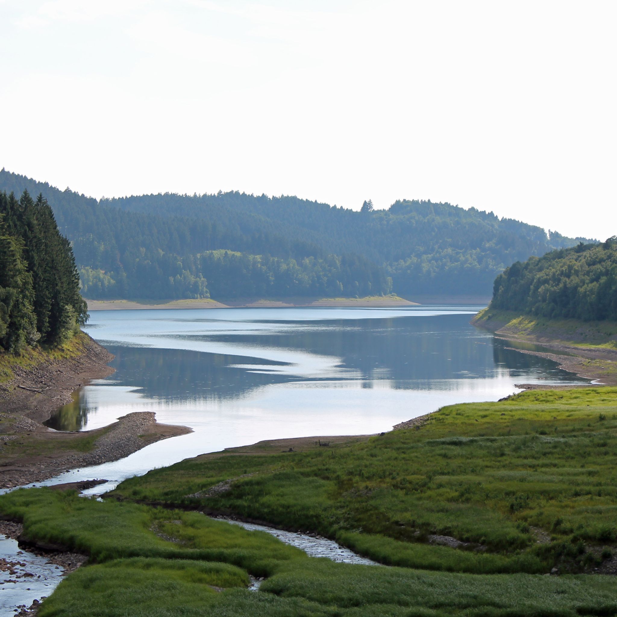
For me, one of the most idyllic stamping points for the Harz hiking pin. The path along the “Allee der Bäume” is recommended. Here you walk through the Grumbachtal: one of the last completely forested valleys in the Upper Harz. An easy path to walk, the Grumbach gently babbles along and there is dense coniferous forest everywhere. Just before the Grumbach pond, you pass the Grumbach waterfall and then suddenly the Grumbach pond, surrounded by forest, lies quiet and calm in front of you - it doesn't get more Harz idyll than this! The reflection of the trees in the water is also beautiful! By the way, the stamping point is not only necessary for the HWN, but also for the Wildemann hiking pin!
9
1

HWN stamp office ♟️ Nice rest point with a refuge. Nice photo point with a waterfall 📸🌊
9
0

Magnificent nature, a beautiful pond with roots on the shore. Hikers should definitely take a break here.
6
0

The Förster-Ludewig-Platz is a very nice rest area and is located on the Dammgraben between Altenau and the Torfhaus. The rest area was designed very attractively with a seating area and the Schachtkopf hut. A footbridge takes you to another small rest area via a settling basin in the dam ditch, which frees the wild water coming from the Nabental waterfall from its flood of sediment. For fans of the Harz hiking nobility, stamp 133 can be obtained here
10
0

There are a total of four "Grumbacher Teiche" between the old mining towns of Wildemann and Hahnenklee. The construction of the Lower and Upper Grumbacher Teich can be dated back to before 1680. The middle pond was built after 1680. The fourth New Grumbacher Teich was added after 1714. The Grumbacher Teich was voted the most beautiful stamping spot in 2012 by our hiking friends. (HNW113)
5
0

Beautiful in every season. I'm looking forward to summer and cooling off in the water.
5
0

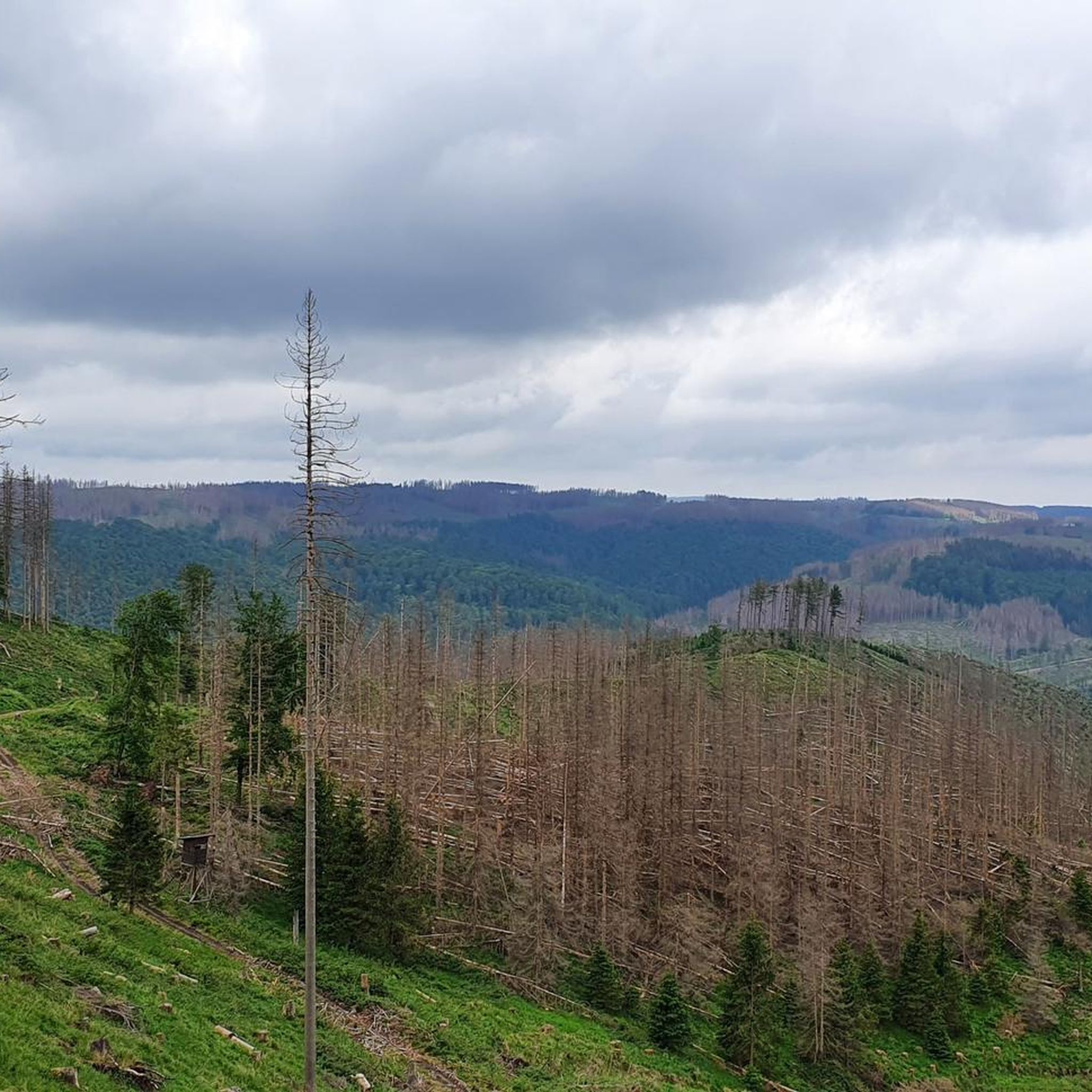
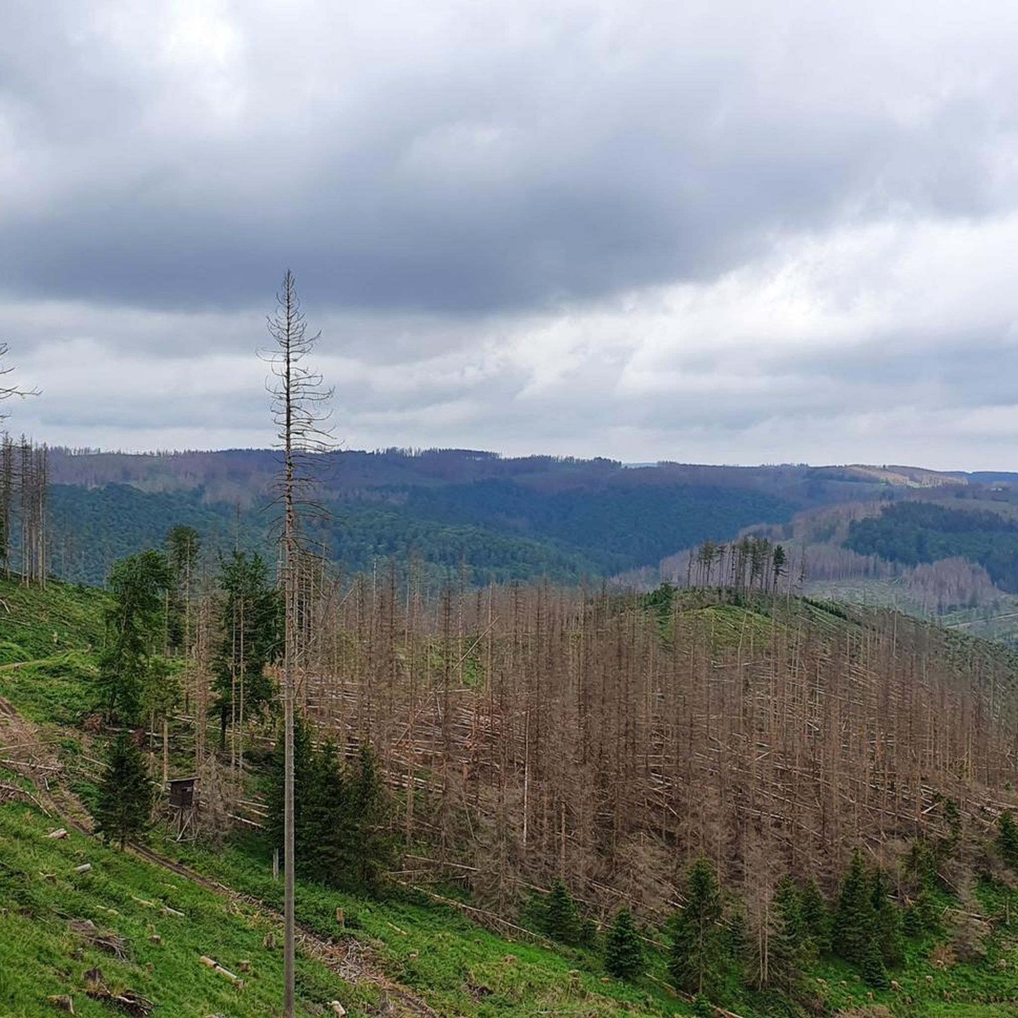
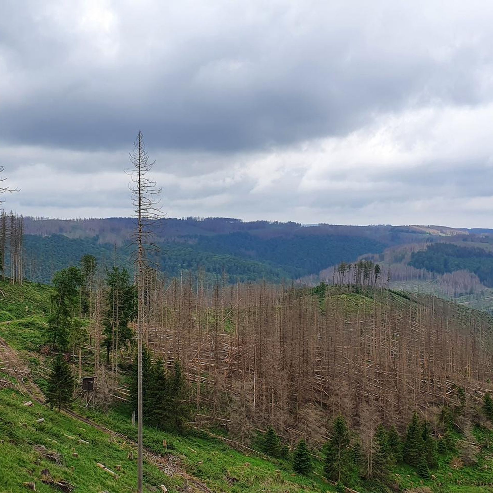
Still a nice spot, but unfortunately now also without spruce trees😒
8
1

Above the former "Free Mining Town of Altenau", the "Altenau" stream flows into the Dammgraben, about 600 m from the point where the "Kleine Oker" crosses the Dammgraben. Here, directly on the Harzer Hexenstieg, the stamping point is located at a rest area next to a water house. The Dammgraben continues its course via the Silberbrunnen, the tributaries of the Kleine Oker, the Große Oker, the Gerlachsbach, the Eisenquelle, the Große Kolk and the Morgenbrodtsthaler Graben to the Sperberhaier Damm. The shortest access route begins at the small parking lot on the right-hand side of the road from Torfhaus to Altenau. From there, cross the road and follow the path along the romantic Dammgraben to the stamping point. It is recommended to continue the hike along the Dammgraben to the Sperberhaier Dammhaus. You can also go back along the Dammgraben, cross the street and follow the Dammgraben to the “Förster-Ludewig-Platz” HWN 133. The two stamp stations on this section of the Dammgraben are particularly suitable for families with small children but also for seniors with physical disabilities. Source:https://www.harzer-wandernadel.de/stempelstellen/uebersichtskarte/stempelstelle-149-kleine-oker/
9
1

komootモバイルアプリでインスピレーションを得よう


さらに探索
これらの近くの場所で最高の小屋やキャビンを見つけましょうオスターオーデでの:
