ルート

プランナー

機能

アップデート

App

ログインまたはサインアップ

アプリを入手

ログインまたはサインアップ

ルート
Places to see
Huts
ドイツ
ザクセンアンハルト
ハルツ山地
オスターオーデ・アム・ハルツ

ヴァルケンリート

ヴァルケンリートの山小屋&キャビン・トップ20

アウトドアで過ごす一日のハイライトはなんといっても山小屋です。次の冒険での山小屋選びの参考となるよう、ヴァルケンリートの素晴らしい山小屋・キャビンをまとめました。以下の一覧から理想の山小屋・キャビンを見つけて、スムーズに次の冒険を計画しましょう。

最終更新日: 7月 21, 2026

リバーシブル・オーク(HWN 165)

ハイライト • 自然記念物

The old turning body has fallen over in the meantime. You can still see the remains of the old spiral staircase that long ago allowed visitors to climb to the platform in the treetop.

翻訳者 Google •

役立つ情報

によるものです

ここでのハイキングを見る

スマートフォンに送信

保存

レッドショット(HWN 90)

ハイライト • 山小屋

At the end of the Limberg valley is the "Rote Schuss" (505 meters high), stamp point of the HWN No. 90.

The terrain slopes very steeply towards the valley side. It is worthwhile to make a detour to this mountain made of red porphyrite (= geologically for volcanic rock) on the tour along the "Harzer Grenzweg". Here and there the red rock, from which the steep mountain probably owes its name, shines out clearly in the surrounding area. Here you can enjoy the wonderful view of the southern Harz foreland, the karst landscape and the Kyffhäuser.

The best starting point for a beautiful circular hike is the hiking car park in Zorge. From here it goes up to the stepmother HWN 164, the Wendeleiche HWN 165 (located on the "Harzer Grenzweg") and the two-country oak (special stamp of the HWN).

翻訳者 Google •

役立つ情報

によるものです

保存

今すぐサインアップして、こんな場所を発見しよう

最高のシングルトラック、ピーク、その他のエキサイティングなアウトドアスポットのおすすめを受け取ろう。

無料新規登録

The stamp 159 of the Harz hiking pin is well deserved here.

翻訳者 Google •

役立つ情報

によるものです

保存

The Stierbergsteich is a beautiful, quiet place in the middle of the forest. It is a must on a tour from Sophienhof! Stamp number 48 of the Harz hiking pin is located in the refuge.

翻訳者 Google •

役立つ情報

によるものです

保存

Ilfelder Wetterfahne (HWN 095)

ハイライト • 展望台

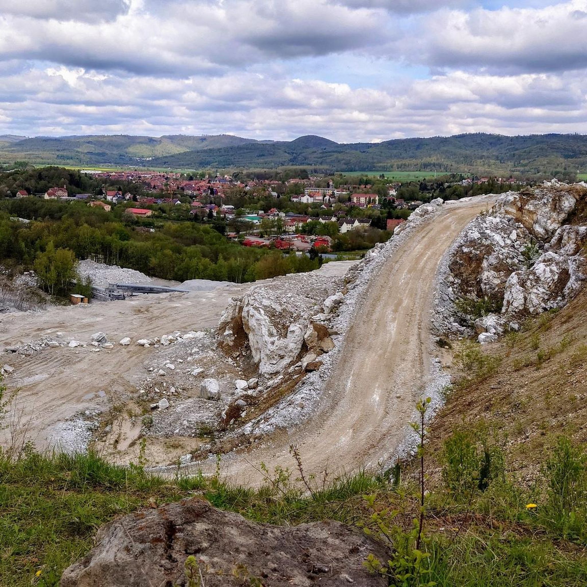
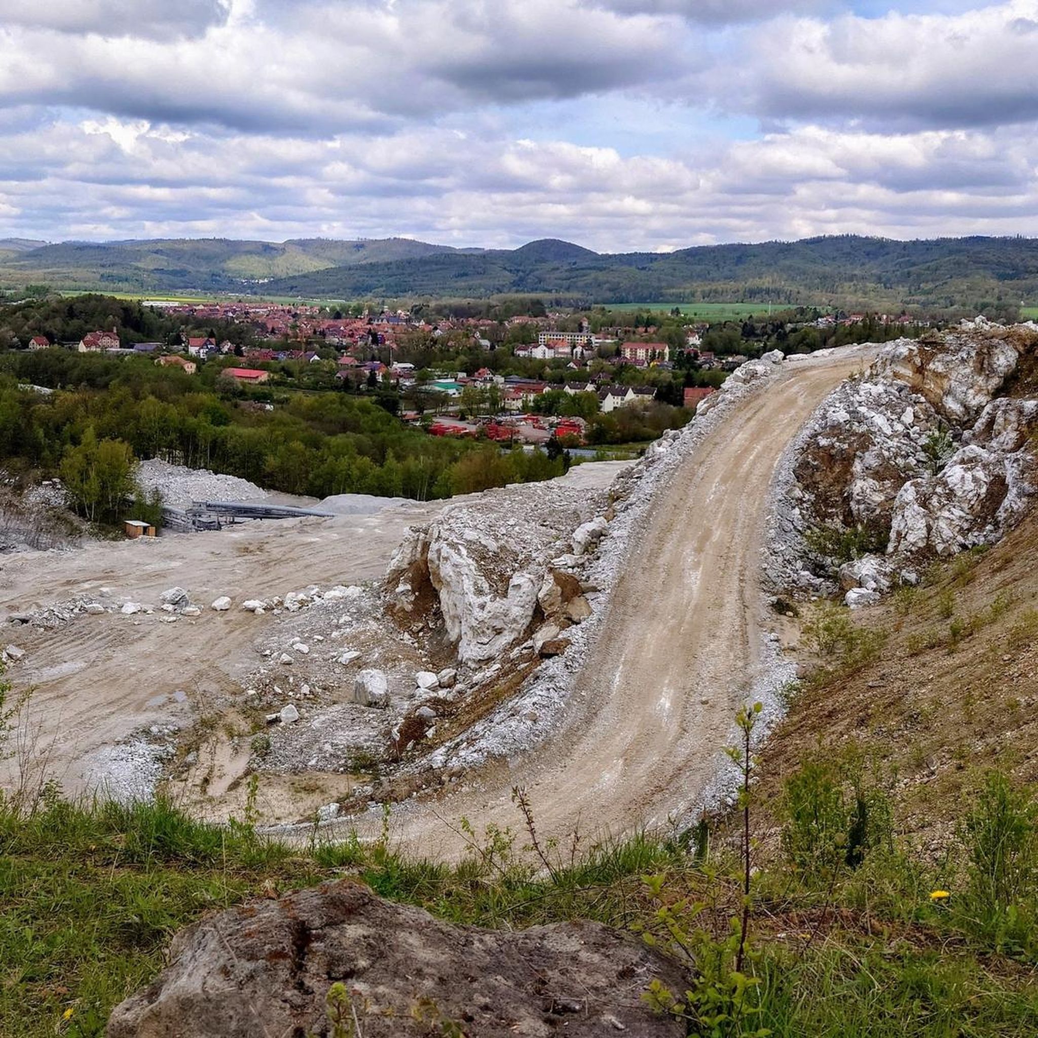
The weathervane Ilfeld lies high above the village itself. Benches and a refuge complete the course. Here is the stamp 95 of the Harzer hiking nobility. The view stretches south and southwest into the Thuringian countryside and the Niedersachswerfen opencast mine.

翻訳者 Google •

役立つ情報

によるものです

保存

無料でサインアップして、さらに多くの小屋やキャビンを発見しましょう ヴァルケンリートでの。

無料新規登録

すでにアカウントをお持ちですか?

無料アカウントで今日から始めよう

次の冒険が待っています。

ログインまたは登録

ヴァルケンリート周辺で人気

水が石灰石に出会う – ドイツ南ハルツ山脈のカルストトレイル

素晴らしい緑の帯

Zwischen Bergen und Flüssen – Gravel-Abenteuer in Mitteldeutschland

ヴァルケンリートでのハイキング

ヴァルケンリートでのサイクリング

ヴァルケンリートのMTBトレイル

ヴァルケンリートのロードバイクルート

ヴァルケンリートのランニングコース

ヴァルケンリートでののグラベルライド

ヴァルケンリートでの登山&山歩き

ヴァルケンリートでのの他の冒険

水が石灰石に出会う – ドイツ南ハルツ山脈のカルストトレイル

ハイキングのコレクション によって

R.

コミュニティからのヒント

Klausi
8月 25, 2024, Stierbergsteich (HWN 048)

This shelter no longer exists and the stamp box has been moved slightly.

Google翻訳による翻訳

10

0

The old turning body has fallen over in the meantime. You can still see the remains of the old spiral staircase that long ago allowed visitors to climb to the platform in the treetop.

Google翻訳による翻訳

12

1

The Stöberhai, which is 731 meters high, is a bit of a challenge.

Google翻訳による翻訳

23

2

one of the most beautiful stamping points of the HWN, the view is great, be sure to enter it in the summit book

Google翻訳による翻訳

21

3

great resting place on the Grenzweg, the oak must have been an impressive tree with its viewing platform in the past, unfortunately destroyed by a storm, but a monument should be erected at this point

Google翻訳による翻訳

15

2

Really great refuge with summit book.

Google翻訳による翻訳

14

2

Zeynep, the last hurricane unfortunately blew the oak down

Google翻訳による翻訳

10

2

The weather vane on the Herzberg is considered a symbol of Ilfeld and can be seen several times from the village.

Google翻訳による翻訳

19

1

ヴァルケンリートでのの人気ルート

ヴァルケンリートのファミリーハイキング

ヴァルケンリートでのの人気観光スポット

Places to see

Store rating

komootモバイルアプリでインスピレーションを得よう

無料のkomootアカウントがあれば、無限のアウトドアコースを簡単に見つけてカスタマイズし、ナビで案内できます。

または

今すぐkomootに参加しよう

Store rating

さらに探索

これらの近くの場所で最高の小屋やキャビンを見つけましょうヴァルケンリートでの:

オスターオーデバート・ラウターベルク・イム・ハルツバートザクサバート・グルントツォルゲヴィーダヘルツベルク・アム・ハルツヘルデン・アム・ハルツエルビンガーオーデハットルフ・アム・ハルツヴルテン・アム・ハルツErbhaiGipskarstlandschaft Bad Sachsa Und Walkenried

近くのアドベンチャーガイド

Gipskarstlandschaft Bad Sachsa Und Walkenriedでやるべきこと

background

新しいピークを征服する準備をしよう

無料でサインアップ

探検する
ルートルートプランナー機能ハイキングMTBトレイルロードバイクルートバイクパッキングサイトマップ
アプリをダウンロード
SNSでフォローする

© komoot GmbH

プライバシーポリシー