ルートプランナー機能アップデート
App
ログインまたはサインアップ
アプリを入手
ログインまたはサインアップ
ルート
Places to see
ドイツ
ザクセン
ラウジッツ北部
バウツェン

ドーバーシャ​​ウゴージグ

ドーバーシャ​​ウゴージグ周辺のアトラクション&必見スポット - トップ20


ドーバーシャ​​ウゴージグには必見のスポットがたくさんあります。ハイキング愛好家やサイクリング愛好家の方は、ぜひドーバーシャ​​ウゴージグを探索してこのエリアにある20
の隠れたスポットを訪れてみてください。このエリアの必見スポットを確認し、次の冒険に出かける計画を立てましょう。

最終更新日: 10月 9, 2026

ケーニヒ・ヨハン・トゥルムとヴァルテンベルクのヴァルテンベルクボーデ

ハイライト • 展望台

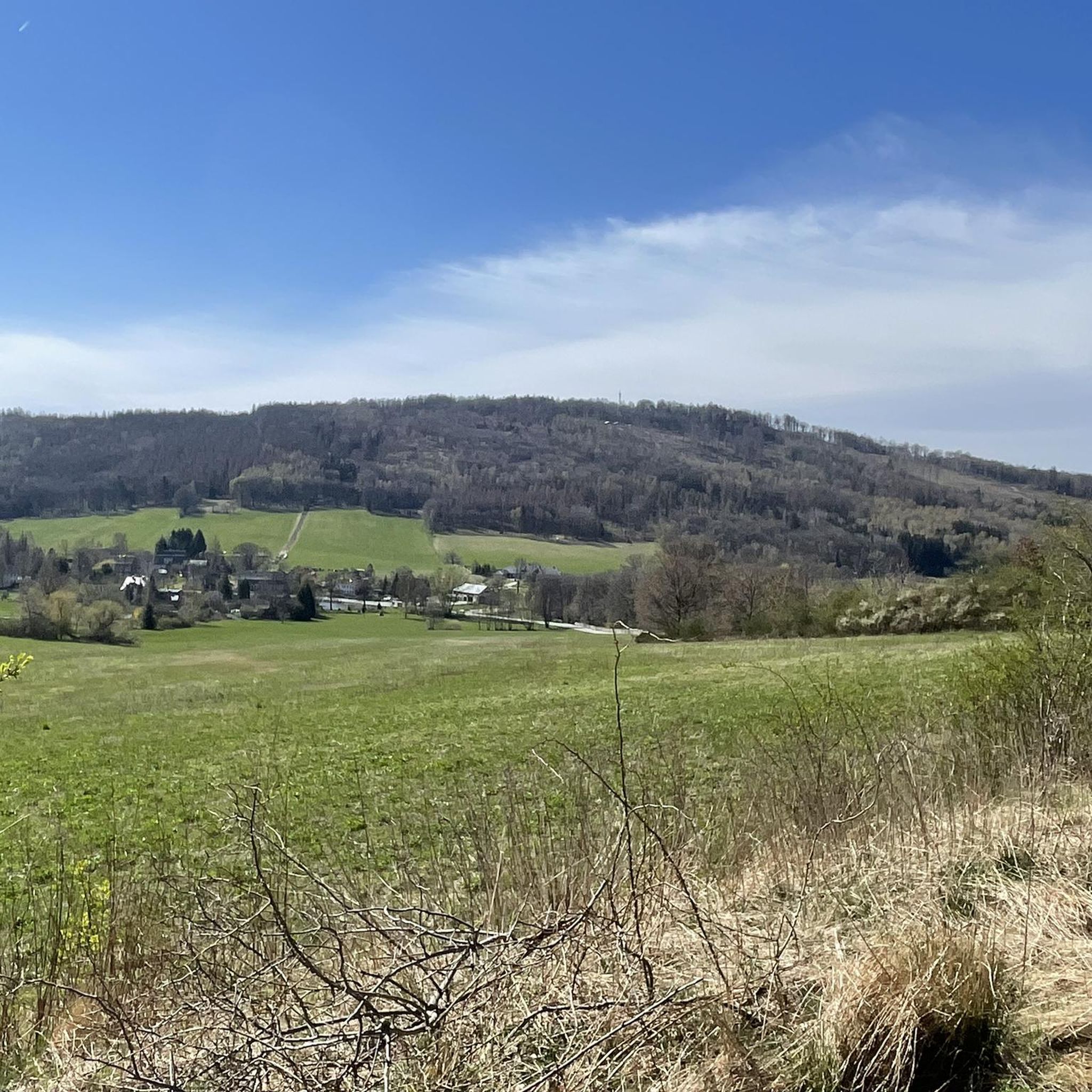
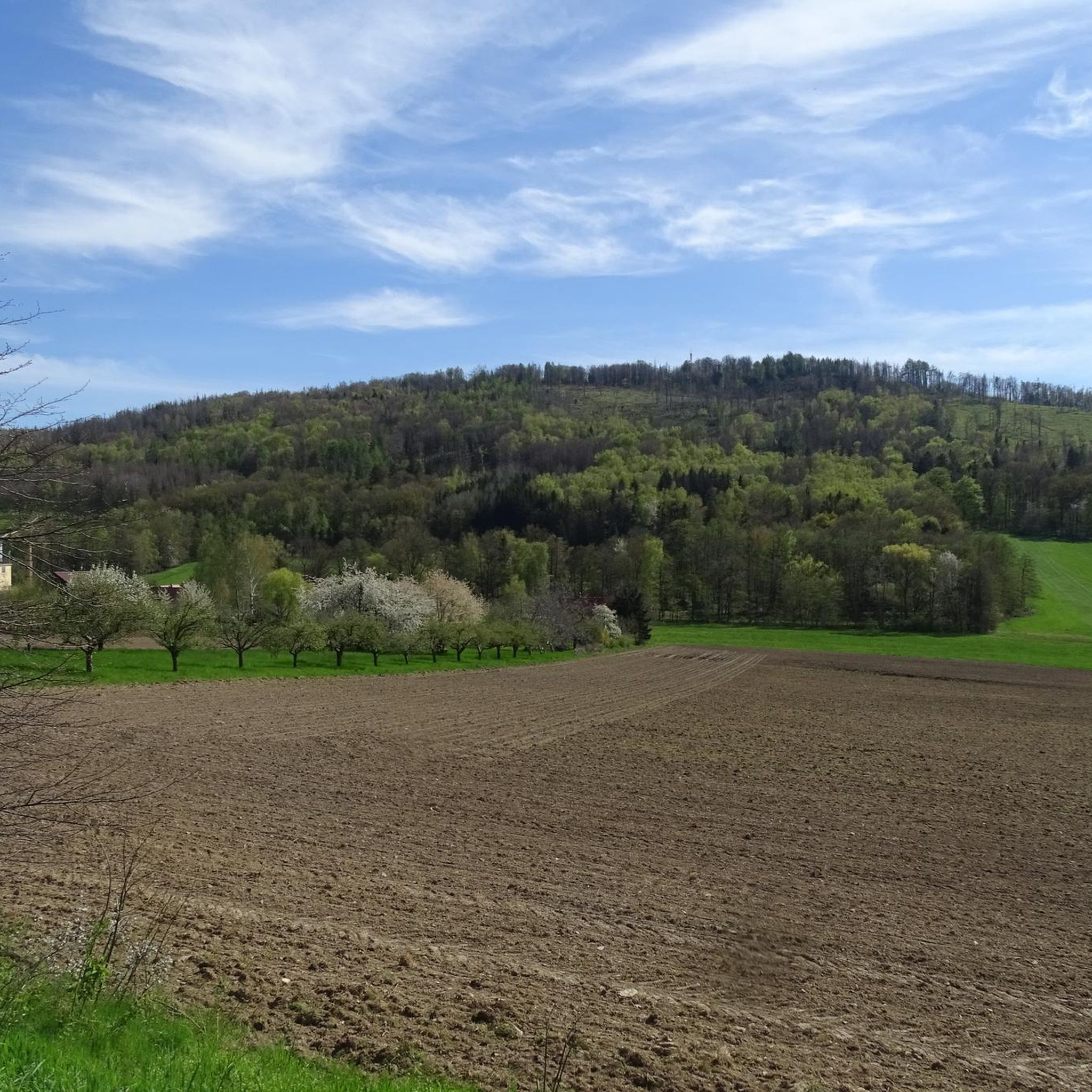
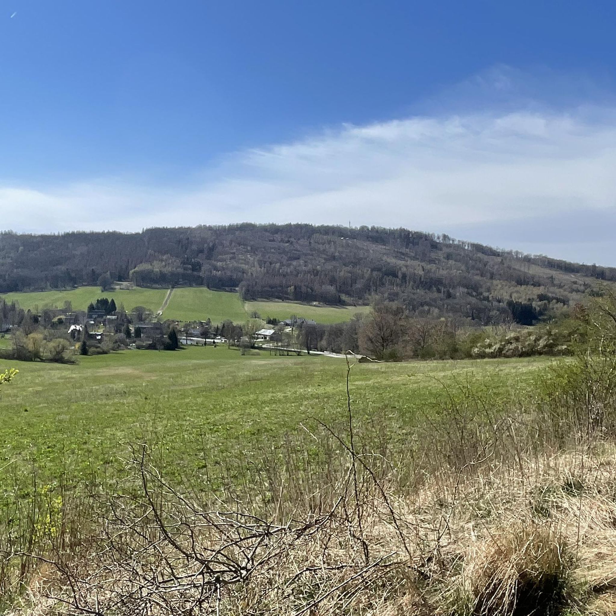
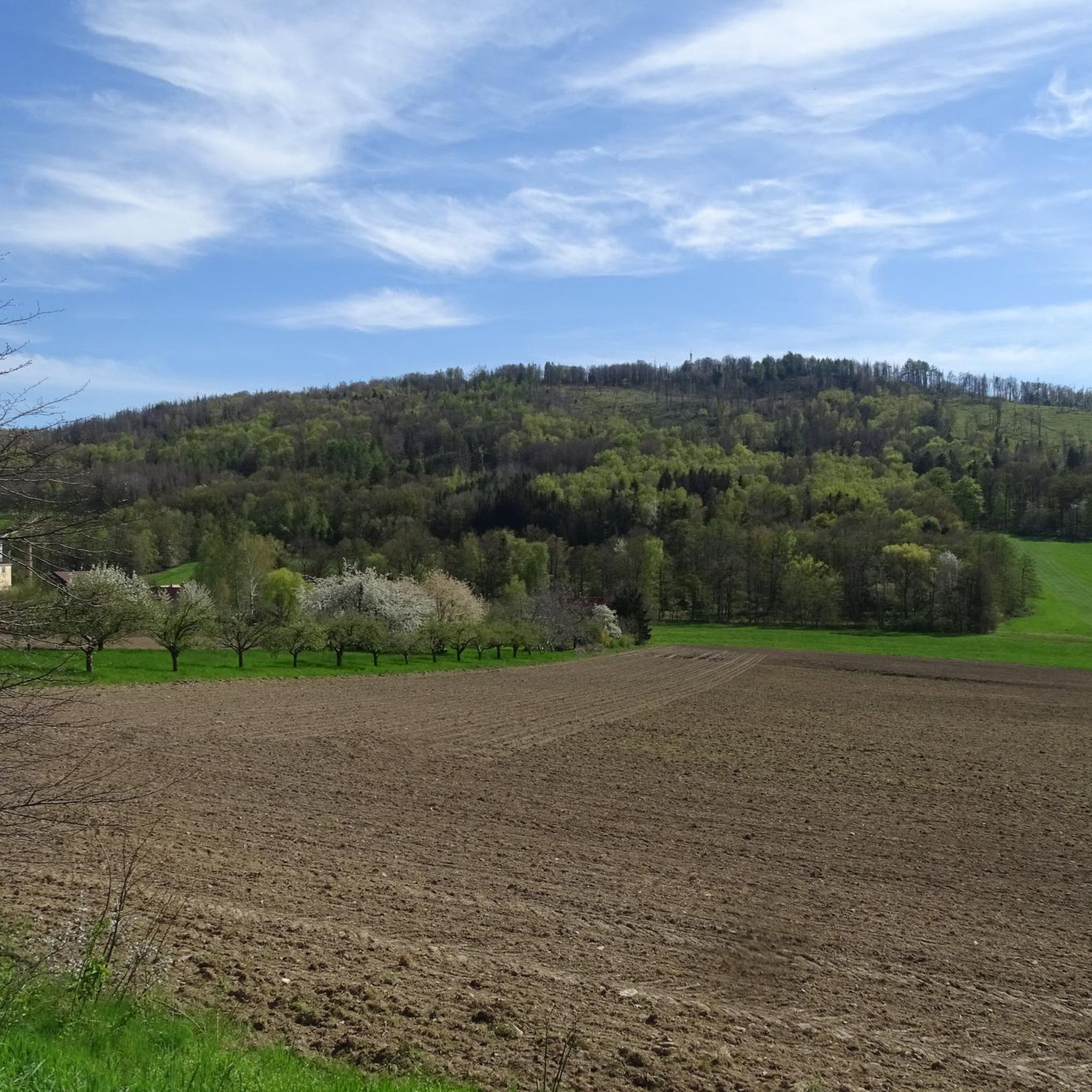
With a height of 587 meters, the Valtenberg is the highest peak in the Lusatian highlands, expanding from here to the east towards the Lusatian Mountains. Above you will find a lookout tower and a nice mountain dwelling. The Baude and the tower are open all year from 10 to 17 clock, only on Mondays and Fridays is closed. From the observation tower, you have a unique view of the surrounding landscape, with a good view, the view extends to the Elbe Sandstone Mountains and the Giant Mountains.

翻訳者 Google •

役立つ情報 は

によるものです

ここでのハイキングを見るスマートフォンに送信
保存

バウツェン貯水池の水泳ビーチ

ハイライト • ビーチ

The Bautzen Reservoir is fed by the Spree River and was dammed during the GDR era. The reason was the Boxberg power plant, which needed water for cooling. This beautiful reservoir was created and was already a popular local recreation area back then. You can still enjoy the beautiful sandy beach, which was also built during the GDR era. Here, you can swim in the lake and lie comfortably on the sand or grass. A chilled-out beach bar by the lake provides refreshments.

翻訳者 Google •

役立つ情報 は

によるものです

保存

今すぐサインアップして、こんな場所を発見しよう

最高のシングルトラック、ピーク、その他のエキサイティングなアウトドアスポットのおすすめを受け取ろう。

無料新規登録

バウツェン・ダムの放水口

ハイライト • 構造物

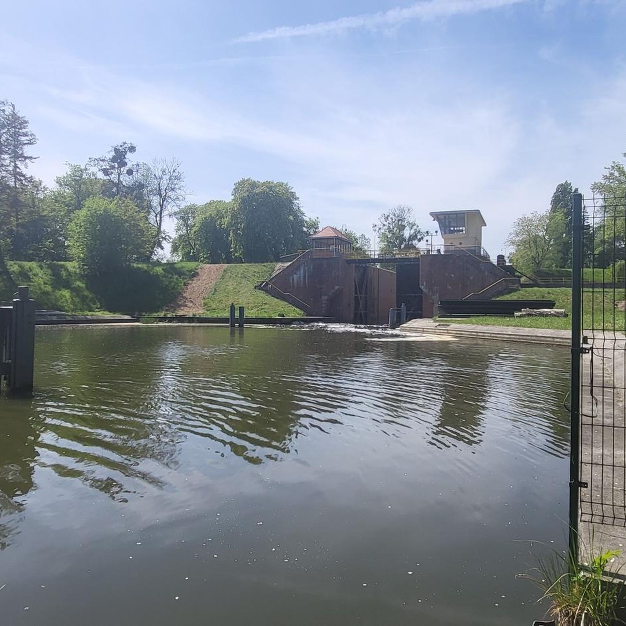
The outlet structure at the Bautzen Dam is located on the northwest shore of the reservoir and at the southern dam of the two dams. The cycle path curves around the outlet structure and then along the base of the dam. The reservoir dams the Spree River, which flows from here to Berlin. The dam is accessible by bicycle during opening hours; there are steps on the south side.

翻訳者 Google •

役立つ情報 は

によるものです

保存
Almost 200 meters, the calf stone massif rises above Sohland and the Spree. On top of the wooded mountain you can discover many exciting rock formations. The largest rock directly at the summit can be climbed via a staircase. Above you can catch a glimpse of the surrounding hills and mountains between the tall and dense trees. The name calf stones probably dates back to the Thirty Years' War, when farmers from the surrounding villages hid their cattle up here.

翻訳者 Google •

役立つ情報 は

によるものです

保存

Czornebohの山小屋と展望塔

ハイライト • 展望台

A very beautiful mountain and now the restaurant has opened again.

A detour to the nearby Teufelsfenster in the direction of Schönberg is also worthwhile.

翻訳者 Google •

役立つ情報 は

によるものです

保存

無料でサインアップして、さらに多くの観光スポットを発見しましょう ドーバーシャ​​ウゴージグでの。

無料新規登録

すでにアカウントをお持ちですか?

無料アカウントで今日から始めよう

次の冒険が待っています。

ログインまたは登録

ドーバーシャ​​ウゴージグ周辺で人気

Oberlausitz Cycling Region – 18 superb routes in Upper Lusatia

ドーバーシャ​​ウゴージグでのハイキング

ドーバーシャ​​ウゴージグのMTBトレイル

ドーバーシャ​​ウゴージグのランニングコース

ドーバーシャ​​ウゴージグでのサイクリング

ドーバーシャ​​ウゴージグのロードバイクルート

ドーバーシャ​​ウゴージグでののグラベルライド

ドーバーシャ​​ウゴージグでのの他の冒険

Oberlausitz Cycling Region – 18 superb routes in Upper Lusatia

サイクリングのコレクション によって

Marketing-Gesellschaft Oberlausitz

コミュニティからのヒント

Holger
9月 3, 2024, König-Johann-Turm and Valtenbergbaude on Valtenberg

The lodge and the King John Tower on the summit are closed because the tenant and the municipality are at loggerheads with each other. Let's hope that both parties can come to an agreement at some point.

Google翻訳による翻訳•

3

0

The Valtenbergbaude and tower are unfortunately closed until further notice: https://www.saechsische.de/bautzen/neukirch-lausitz-valtenbergbaude-paechter-posche-kuendigung-zeiler-monsterroller-5899350-plus.html

Google翻訳による翻訳•

2

1

Here you can see the flood protection of the reservoir. Interesting location, also for children a place that you don't always see otherwise

Google翻訳による翻訳•

2

0

beautiful view over the reservoir

Google翻訳による翻訳•

2

0

The Czorneboh is one of the highlights in the region. Many visitors flock here especially at the weekend. There are ascents of various difficulties to the summit. I chose the crossing from Hromadnik over the ridge. Adventurous but very cool. There is refreshment in the mountain hut and then you definitely have to go up the tower. The view to the west and north is wonderful. Unfortunately, towards the south and east, the trees are now taller than the tower. Since 1867 there has been a station of the Royal Saxon Triangulation on the tower. The granite pillar in the tower structure is a reminder of this. "The Royal Saxon Triangulation (here with the historical proper name) is a state survey carried out in the years 1862 to 1890 on the territory of the Kingdom of Saxony with the simultaneous creation of a trigonometric network. The aim was to record the national territory scientifically and geodetically and to create the basis for the production of precise maps by establishing permanently marked reference points." - https://de.wikipedia.org/wiki/K%C3%B6niglich-S %C3%axial_triangulation#stations_2nd_order From the station one observed from N.T.R. Nostitzhöhe (in Poland); Strohmberg; Rothstein; Kottmar; Listen; Taubenberg; Valtenberg; butter mountain; salt forest; Grossdubrau

Google翻訳による翻訳•

4

0

Opening hours: Sunday 10:00 a.m. - 6:00 p.m Closed on Mondays Tuesday 10:00 a.m. - 3:30 p.m Wednesday 10:00 a.m. - 6:00 p.m Closed on Thursday Friday 10:00 a.m. - 3:00 p.m Saturday 10:00 a.m. - 6:00 p.m home cooking Special feature: There are large portions of various soups as the main course. Very suitable for hikers. New: E-bike rentals are now available and inquiries can be made at verleih@ebike-oberlausitz.de or by phone 035951/182832, www.ebike-oberlausitz.de and Monsterroller inquiries to: info@monsterroller-oberlausitz.de or by phone 0700 70 800002, www.monsterroller.info The restaurant has three rooms in which all kinds of celebrations can be held for up to 80 people: - Bauernstübl 22 places - Legend room 32 places - Jägerstübl 34 places Outside there is a terrace with 30 seats and the shower (covered seating for hikers) with 50 seats.

Google翻訳による翻訳•

2

1

From the top you have a wonderful view of the 360 degree panorama.

Google翻訳による翻訳•

2

1

Nice view and close to the water

Google翻訳による翻訳•

1

0

ドーバーシャ​​ウゴージグでのの人気ルート

ドーバーシャ​​ウゴージグでのハイキング

ドーバーシャ​​ウゴージグでのの人気観光スポット

Mountain Peaks

Store rating

komootモバイルアプリでインスピレーションを得よう

無料のkomootアカウントがあれば、無限のアウトドアコースを簡単に見つけてカスタマイズし、ナビで案内できます。

または

今すぐkomootに参加しよう
Store rating

さらに探索

まだ探しているハイライトが見つかりませんか?他の地域のトップアトラクションのガイドを見てみましょう:

ラーデベルクオッテンブルクオクリラアーンズドルフグロースレールスドルフヴァイセンベルクグロースハルタウグロースドゥブラウラウスニッツヴァッハウホッホキルヒグロースナウンドルフプルスニッツマルシュヴィッツクプシュッツシュタイナーハーゼルバッハタールカメンツラディボルシェーンタイヘンケーニッヒスブリュックゲーダクーネヴァルデブルカウデミッツ・トゥーミッツシュヴェプニッツシルギスヴァルデ-キルシャウGroßpostwitz/ OberlausitzヴィルテンObergurigエルストラオホルンエルスターハイデシュタイニクトヴォルムスドルフノイキルヒ/ラウジッツケーニヒスヴァルタゾーラント・アン・デア・スプリーブレニヒハウスヴァルデローサパンシュヴィッツクッカウビショフスヴェルダネシュヴィッツネーベルシュッツレッケルヴィッツランメナウSchmölln-PutzkauラウタオスリングクロストヴィッツヴィッティヘナウシュプレータールラルビッツローゼンタールホイエルスヴェルダプシュヴィッツKönigsbrückerHeideマセネイDreiweiberner湖Dubringer Moorパートヴィッツァー湖ガイアースヴァルダー湖カルスヴァルトラウスニッツァーハイデTeichgebiet Biehla-Weißig - Hatowa Krajina Běła-WysokaダムバウツェンVorhölzerオルバセScheibeseeDeutschbaselitzerGroßteichSpreetaler湖

近くのアドベンチャーガイド

ノイキルヒ/ラウジッツでやるべきこと

background

新しいピークを征服する準備をしよう

無料でサインアップ
探検する
ルートルートプランナー機能バウチャーを利用ハイキングMTBトレイルロードバイクルートバイクパッキングサイトマップ
アプリをダウンロード
SNSでフォローする

© komoot GmbH

プライバシーポリシー