マセネイ周辺のアトラクション&必見スポット - トップ20
マセネイには必見のスポットがたくさんあります。ハイキング愛好家やサイクリング愛好家の方は、ぜひマセネイを探索してこのエリアにある20
の隠れたスポットを訪れてみてください。このエリアの必見スポットを確認し、次の冒険に出かける計画を立てましょう。
最終更新日: 8月 30, 2026
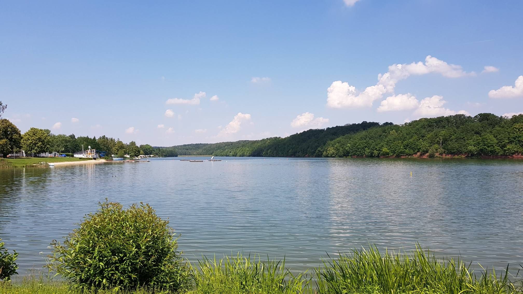
ヴァルローダ貯水池
ハイライト • 湖
翻訳者 Google •
役立つ情報 は

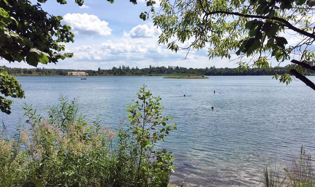
シュタインバッハにかかる石橋
ハイライト • 橋
翻訳者 Google •
役立つ情報 は

今すぐサインアップして、こんな場所を発見しよう
最高のシングルトラック、ピーク、その他のエキサイティングなアウトドアスポットのおすすめを受け取ろう。
無料新規登録
石の池の水の精の伝説
ハイライト • 歴史的な場所
翻訳者 Google •
役立つ情報 は

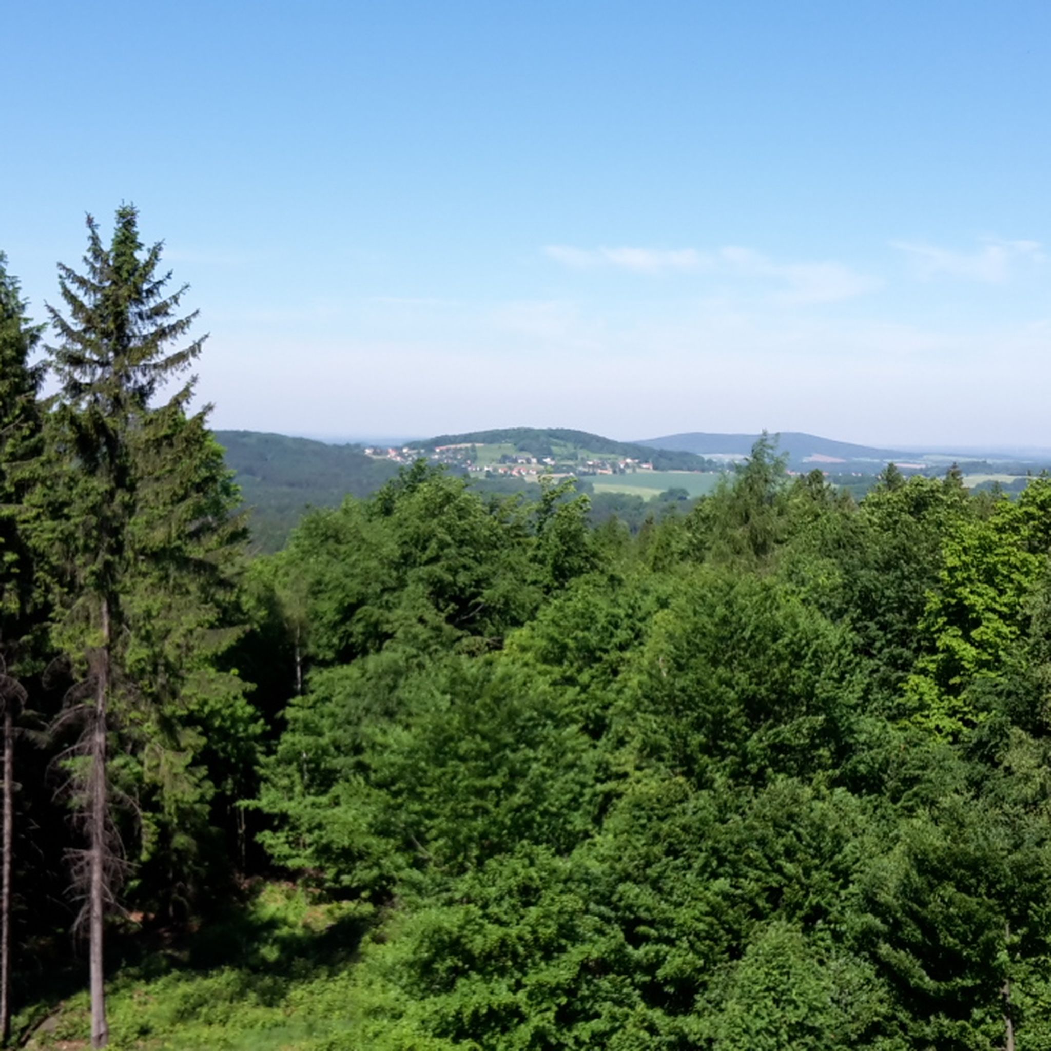
マッセネイの森
ハイライト • 森
翻訳者 Google •
役立つ情報 は
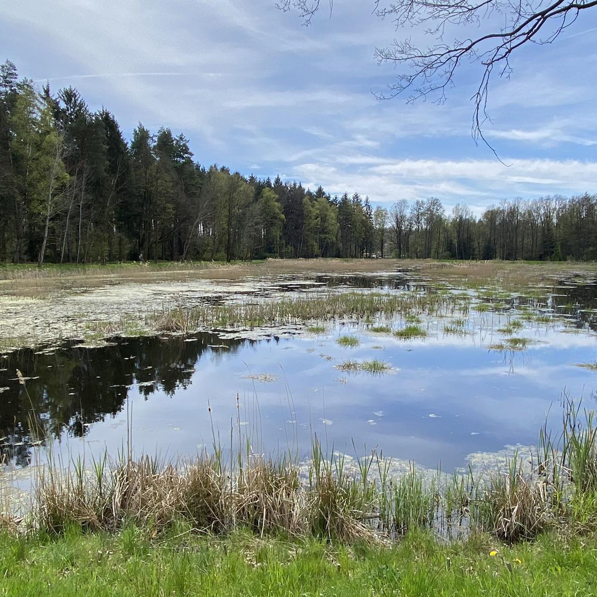
マッセネイのシュタインタイヒ
ハイライト • 湖
翻訳者 Google •
役立つ情報 は
無料でサインアップして、さらに多くの観光スポットを発見しましょう マセネイでの。
無料新規登録
すでにアカウントをお持ちですか?
無料アカウントで今日から始めよう
次の冒険が待っています。
ログインまたは登録

コミュニティからのヒント


Station of the Legends Trail https://www.westlausitz.de/erleben/sagenpfad-massenei.html
0
0
Right next to the bridge is a nice little rest area.
0
0
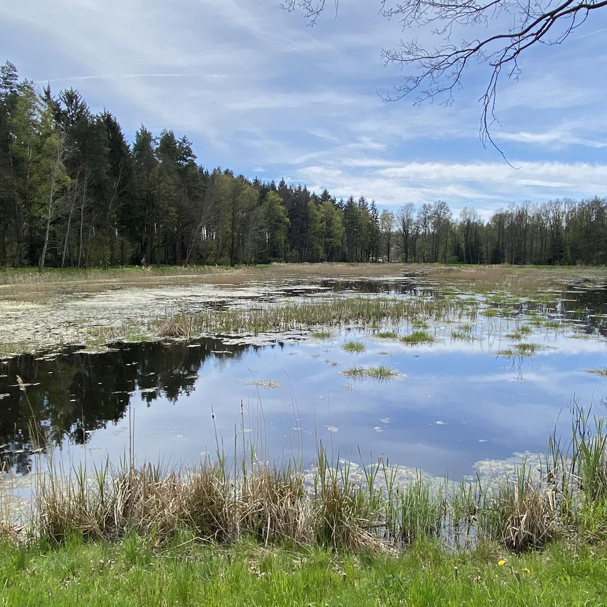
There are several nice rest areas around the stone pond.
1
0


a beautiful lake very limited peace despite campsite bathing
1
0


The mass egg extends to the south of the loess-covered granodiorite hills of Großröhrsdorf and Bretnig over a remarkably flat area at 280 to 300 m above sea level. NHN. Wide-spread troughs and very gently sloping slopes as well as isolated very flat bulges with a maximum difference in height of ten meters break up the plain. The forest also represents the watershed between Steinbach (Große Röder) and Goldbach (Schwarze Röder). The small river has its source near the Rammenau district of Röderbrunn, south-west of the Hochstein in Saxony, in a spring held with wooden poles at a height of 326 meters next to the A 4 motorway.[2] It drains the western apron of the Northwest Lusatian mountains and hills. The total catchment area covers 934.5 square kilometers. The Große Röder is dammed up in numerous ponds for carp farming, near Röderbrunn in the Karäusen or Karschteich (2.8 ha) and in the Rohr- or Rohrwiesenteich (2.1 ha), after a 1.5 km run length for bathing purposes in the Buschmühleteich in Ohorn and on Bretniger Flur in the Brettmühleteich. The Hauswalder Bach flows into the Große Röder near the former Bretniger brewery. After crossing Großröhrsdorf, it flows through the Hüttertal between Wallroda and Radeberg, shortly thereafter it takes up the water of the Schwarzen Röder in Radeberg at the Mittelmühle and runs through the Gelbkehain, the Leithen, the Lotzdorfer and the Liegauer Rödertal. Between the outskirts of Liegau-Augustusbad and Hermsdorf it forms the Seifersdorf Valley. The Kleine Röder, which rises near Lichtenberg, flows in between Ottendorf-Okrilla and Medingen. In Radeburg, it is dammed up in a dam bordered by the dam of the A 13 motorway to form the Radeburg reservoir. The Große Röder flows through the southwestern outflow of the reservoir to Rödern, Kalkreuth, Grossenhain and Gröditz. After 105 kilometers[2] it flows into the Black Elster west of Elsterwerda (Brandenburg) near Würdenhain. Another estuary branch, which also bears the name Kleine Röder, flows shortly afterwards into the Black Elster near Zobersdorf. The Röder cycle route follows the course of the Große Röder.
1
0
マセネイでのの人気観光スポット

komootモバイルアプリでインスピレーションを得よう


さらに探索
まだ探しているハイライトが見つかりませんか?他の地域のトップアトラクションのガイドを見てみましょう:
