ハーフェルベルクのおすすめウォーキング&ハイキングルート
4.5
(526)
1,879
ハイカー
57
ハイキング
ハーフェルベルク 周辺でおすすめのハイキングやウォーキングを楽しんでいただけるように、このエリアの小径やルートを集めたkomootコレクション全体を見直しました。 以下で各ルートの詳細をご覧になり、ハーフェルベルク周辺の大自然を満喫する際の参考にしてください。
最終更新日: 9月 17, 2026
4.4
(11)
47
ハイカー
9.62km
02:28
40m
40m
中程度のハイキング. ある程度のフィットネスレベルが必要です。 進みやすいルートです。あらゆるスキルレベルに適しています。
4.3
(9)
43
ハイカー
9.34km
02:23
40m
40m
中程度のハイキング. ある程度のフィットネスレベルが必要です。 進みやすいルートです。あらゆるスキルレベルに適しています。

5.0
(5)
35
ハイカー
10.2km
02:35
20m
30m
中程度のハイキング. ある程度のフィットネスレベルが必要です。 進みやすいルートです。あらゆるスキルレベルに適しています。
5.0
(4)
25
ハイカー
7.80km
02:00
30m
30m
初級者向けハイキング. あらゆるフィットネスレベルに適しています。 進みやすいルートです。あらゆるスキルレベルに適しています。
4.6
(5)
10
ハイカー
17.5km
04:26
30m
40m
中程度のハイキング. ある程度のフィットネスレベルが必要です。 進みやすいルートです。あらゆるスキルレベルに適しています。
さらに多くのルートや他のユーザーのおすすめ情報を確認できます。
すでにアカウントをお持ちですか?
おすすめのツアーは他のkomootユーザーが実際に経験した何千ものアクティビティに基づいています。
無料アカウントで今日から始めよう
次の冒険が待っています。
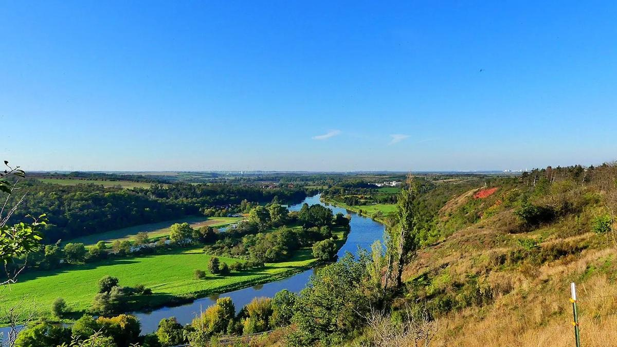
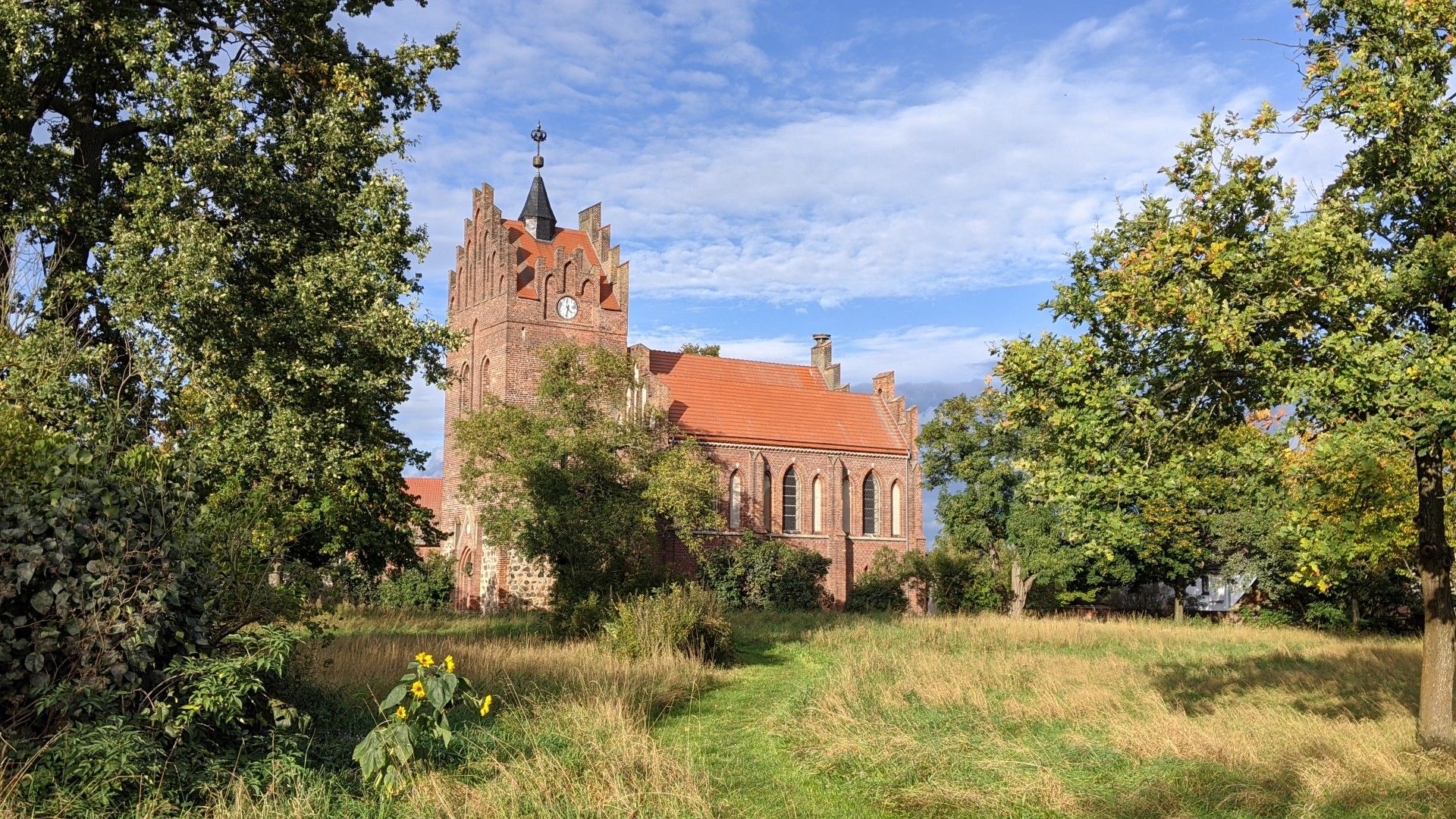
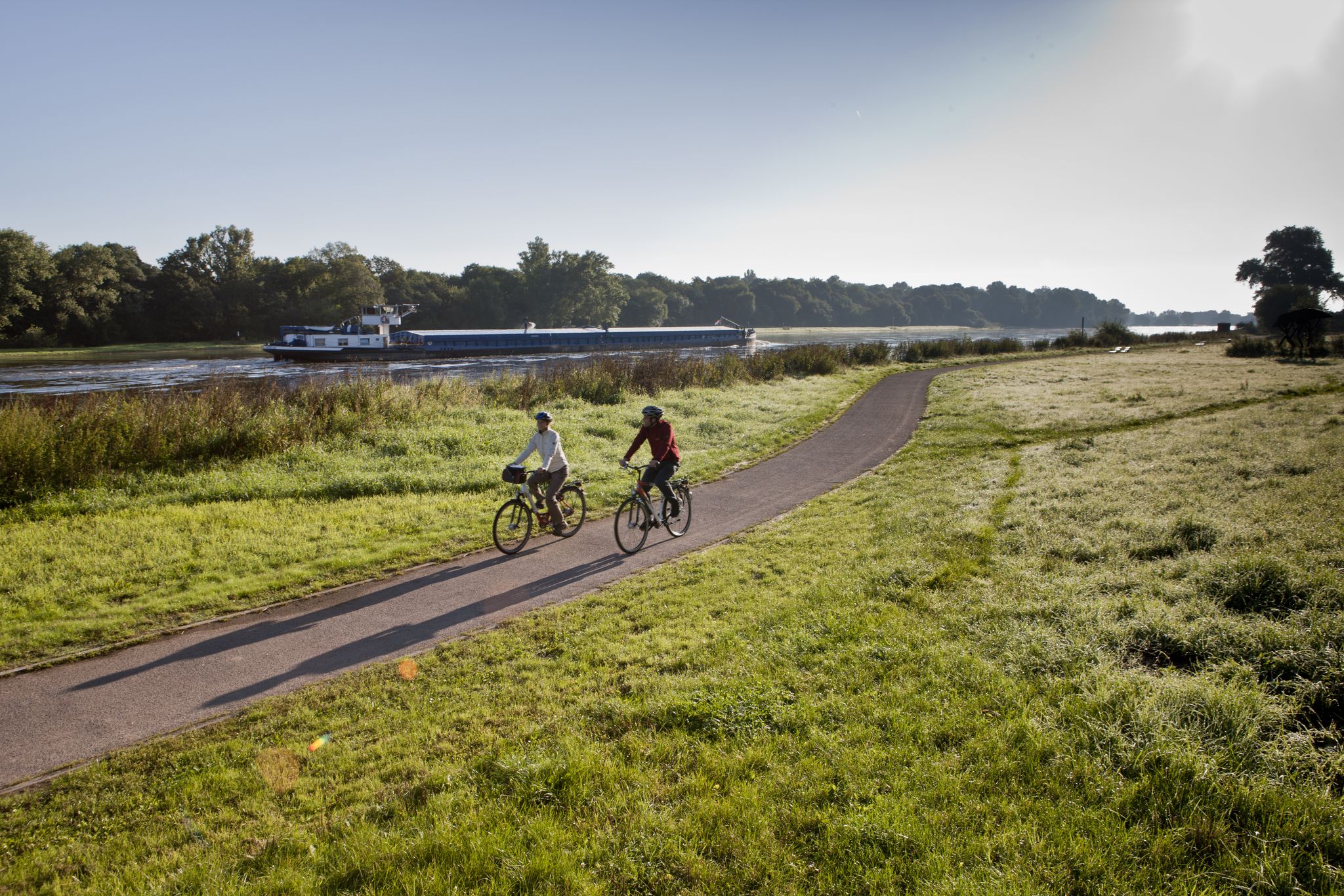
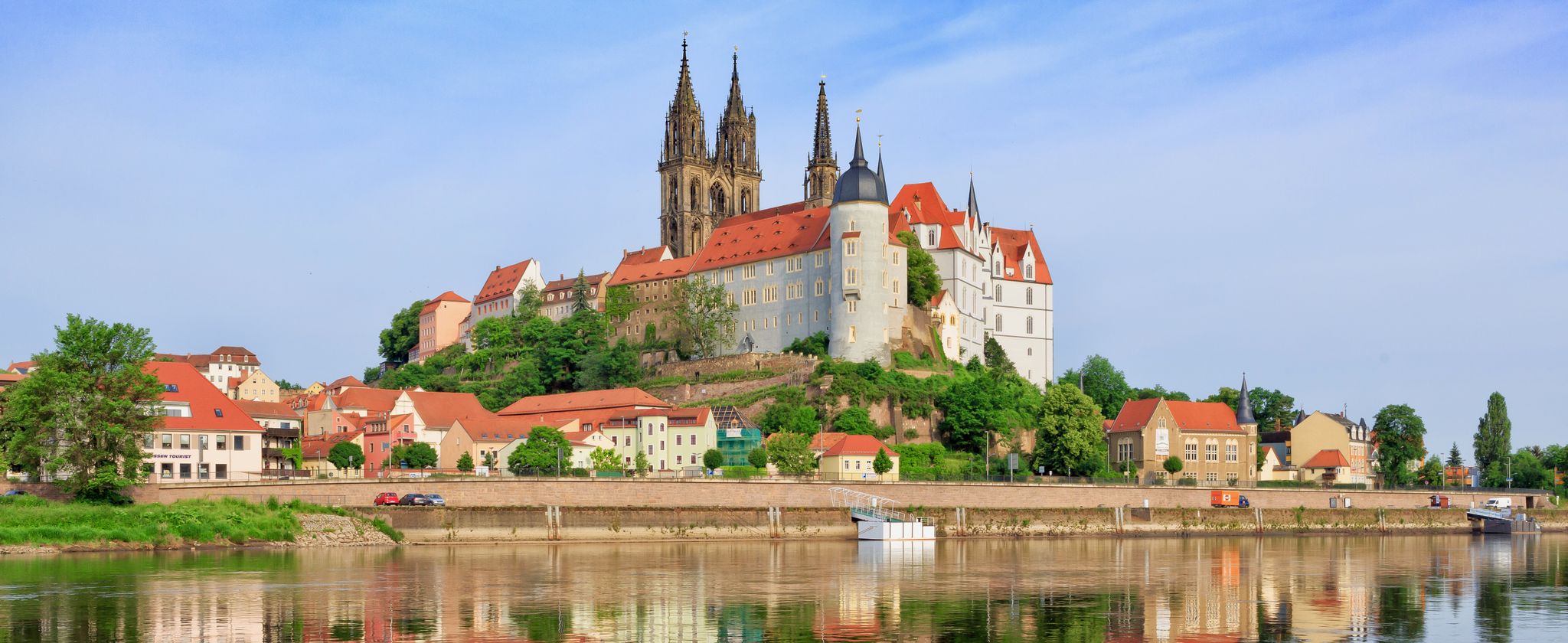

ハーフェルベルクでのの他の冒険


コミュニティからのヒント

Girocardでの支払いは可能ですが、残念ながらクレジットカードではできません
0
0

ハフェルベルクの司教は先見の明のある人物でした。😉
1
0


It was nice here & very informative, even the little ones learn something while playing
1
0

Unlike other Elbe ferries, the ferry is not susceptible to low water. Journey time is approximately 5 minutes.
2
1
Central entrance to the picturesque old town, but from there on cobblestones.
2
0

The water tower is located in Havelberg's cathedral district and can be reached from the cathedral in just a few minutes on foot. It was built from red bricks in 1890 and rebuilt in 1933. Above the entrance, in addition to these dates, you can find Havelberg's coat of arms. Since the entry into force of the Saxony-Anhalt Monument Protection Act on October 21, 1991, it has been officially registered as a cultural monument. Originally, the tower served as a water reservoir for the city. In the early 2000s, the water supply was converted to deep wells and pumping systems, which led to the reservoir being taken out of service. Today, a restaurant (tower café and bistro) is located directly next to the tower, while the tower itself is no longer used for any functional purpose.
0
0

From the cathedral square you have beautiful views of the Havel Island.
1
0
ハーフェルベルクでのの人気観光スポット

komootモバイルアプリでインスピレーションを得よう


さらに探索
他の地域の最高のハイキングを見てみましょう。
