ブライハッハのおすすめウォーキング&ハイキングルート
4.6
(7471)
31,371
ハイカー
196
ハイキング
ブライハッハ周辺でのハイキングは、景色を満喫するのに最適な手段のひとつですが、適切なハイキングルートを見つけることは簡単ではありません。 ブライハッハ周辺の人気ハイキング&ウォーキングコースを参考にすれば、行きたいルートをすぐに見つけられます。
最終更新日: 10月 10, 2026
4.6
(329)
1,164
ハイカー
10.1km
04:00
610m
610m
Hike the moderate 6.3-mile Mittagberg and water experience trail in Nagelfluhkette Nature Park, featuring waterfalls, alpine views, and the
4.8
(338)
1,265
ハイカー
12.8km
04:38
630m
630m
中程度のハイキング. ある程度のフィットネスレベルが必要です。 全般的に進みやすいルートです。安定して歩行できる技術が必要です。

4.7
(481)
1,873
ハイカー
10.1km
03:38
580m
590m
中程度のハイキング. ある程度のフィットネスレベルが必要です。 全般的に進みやすいルートです。安定して歩行できる技術が必要です。
4.8
(531)
1,925
ハイカー
10.0km
03:05
250m
250m
中程度のハイキング. ある程度のフィットネスレベルが必要です。 全般的に進みやすいルートです。安定して歩行できる技術が必要です。
4.7
(386)
1,230
ハイカー
中程度のハイキング. ある程度のフィットネスレベルが必要です。 全般的に進みやすいルートです。安定して歩行できる技術が必要です。
さらに多くのルートや他のユーザーのおすすめ情報を確認できます。
すでにアカウントをお持ちですか?
おすすめのツアーは他のkomootユーザーが実際に経験した何千ものアクティビティに基づいています。

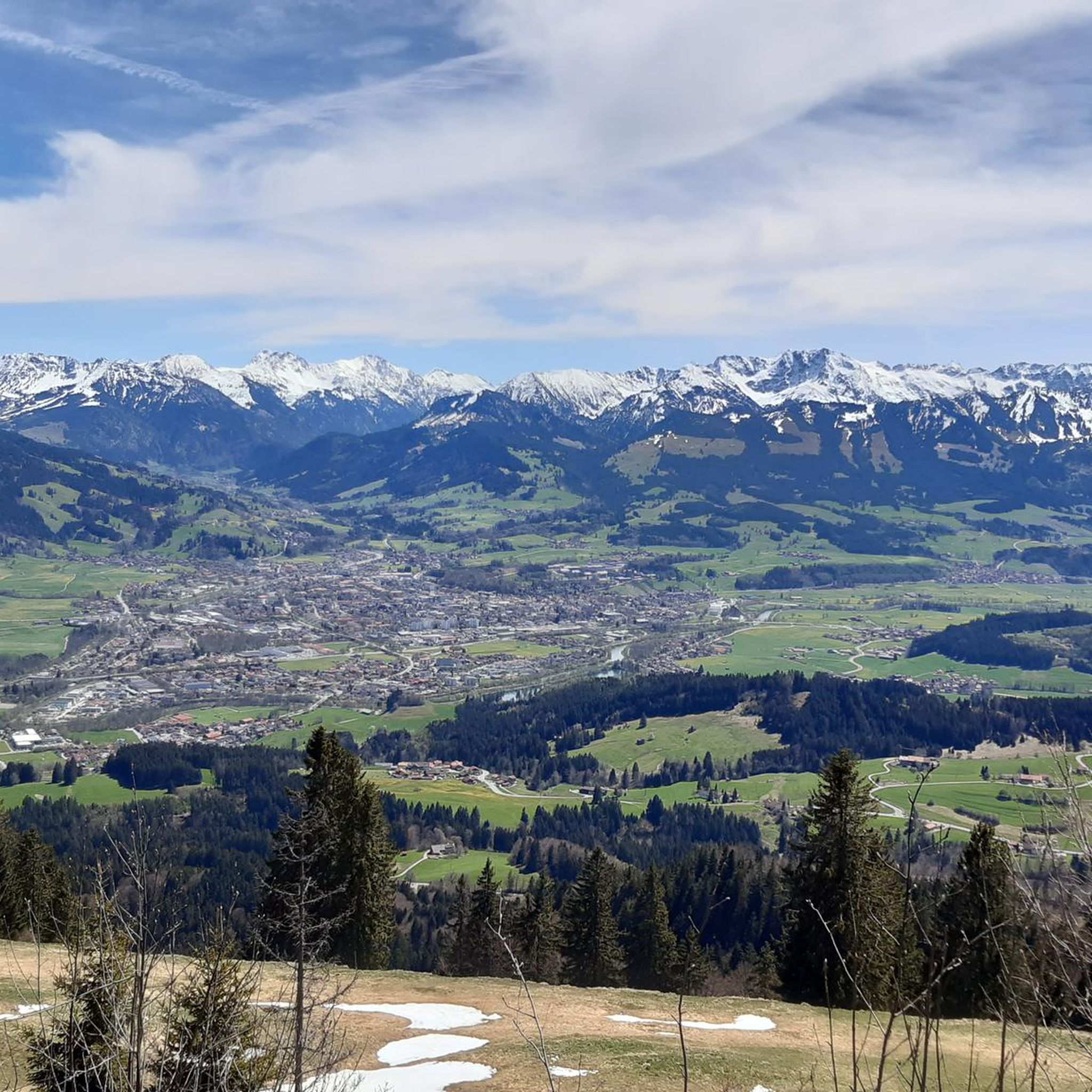
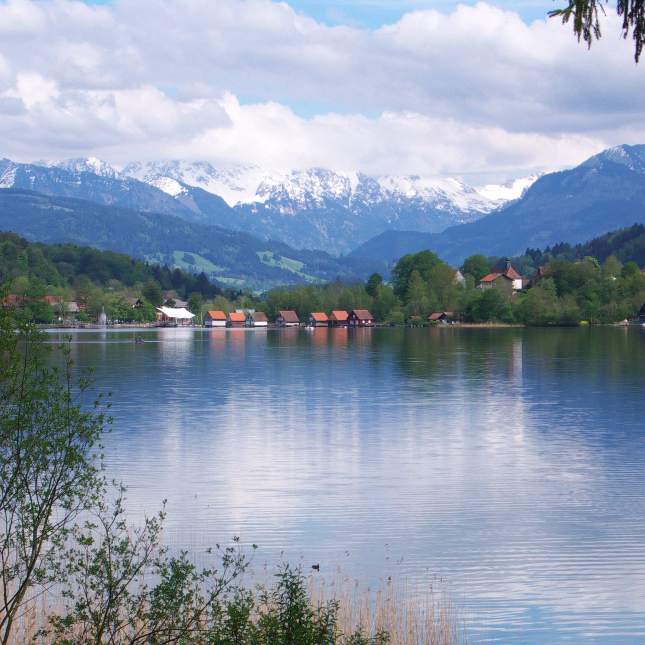
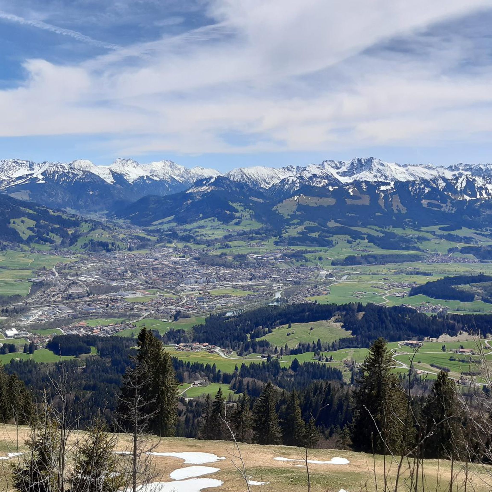

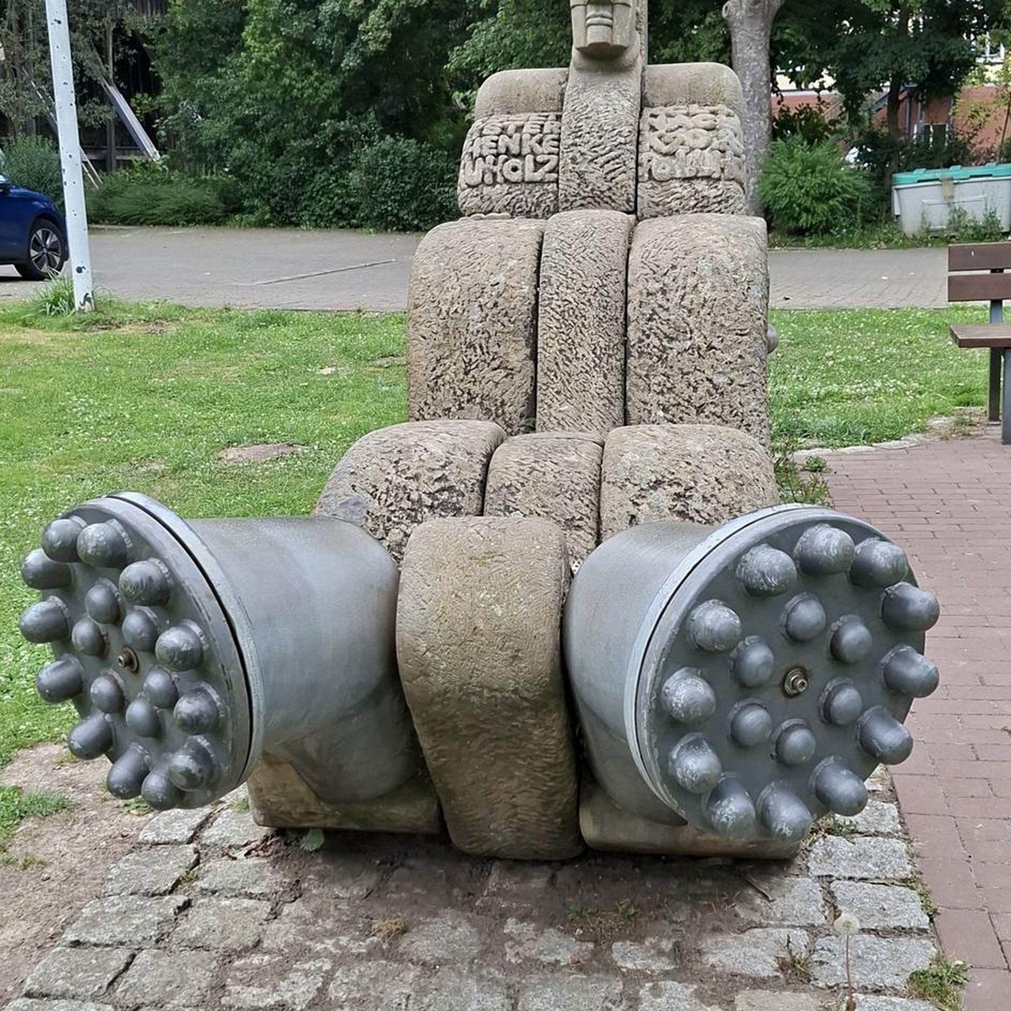


コミュニティからのヒント

After the final short climb, you can now enjoy the view from the summit cross. Three benches and tables invite you to enjoy a snack on the mountain. If the weather is nice, you can also take a break directly on the meadow.
4
0
The Grünten stands there very prominently. Its weather station can be seen from afar.
4
0

After the alpine pasture, we went right up to the Bärenköpfle with its summit cross... the Steineberg is difficult to manage with four dogs. It was more than worth it! 👌🏼
1
0

The Alpe is located on the way from Mittagberg back to the valley (e.g. to Gunzesried) about 20-30 minutes walk after the summit station of the cable car and is certainly a nice alternative if you can handle it due to hunger and thirst.
1
0
Komoot shows the actual summit about 10 minutes south. The path there is marked as a dashed line and is easy to walk in good weather conditions. The "actual summit" of the Bärenkopf, however, is quite unspectacular.
0
0

Beautiful view over the reservoir
1
0
The forest adventure trail lives up to its name, with beautiful nature and protection in the forest even at higher temperatures.
0
0

The Bärenkopf or Bärenköpfle is a 1476 meter high subsidiary peak of the Stuiben in the Hochgrat chain (or the middle Nagelfluh chain in the Nagelfluhkette nature reserve) on the northern edge of the Allgäu Alps south of Immenstadt in the Upper Allgäu.
1
0

komootモバイルアプリでインスピレーションを得よう


さらに探索
他の地域の最高のハイキングを見てみましょう。
