ヴェルタハのおすすめウォーキング&ハイキングルート
4.6
(17911)
71,193
ハイカー
162
ハイキング
ヴェルタハ 周辺でおすすめのハイキングやウォーキングを楽しんでいただけるように、このエリアの小径やルートを集めたkomootコレクション全体を見直しました。 以下で各ルートの詳細をご覧になり、ヴェルタハ周辺の大自然を満喫する際の参考にしてください。
最終更新日: 10月 16, 2026
4.8
(417)
1,862
ハイカー
12.0km
04:31
580m
580m
難しいハイキング. ある程度のフィットネスレベルが必要です。 安定して歩行できる技術、丈夫な靴、高標高地での登山経験が必要です。
4.7
(1186)
4,917
ハイカー
10.4km
02:41
50m
50m
中程度のハイキング. ある程度のフィットネスレベルが必要です。 進みやすいルートです。あらゆるスキルレベルに適しています。

4.8
(225)
895
ハイカー
中程度のハイキング. ある程度のフィットネスレベルが必要です。 全般的に進みやすいルートです。安定して歩行できる技術が必要です。
4.7
(115)
560
ハイカー
中程度のハイキング. ある程度のフィットネスレベルが必要です。 進みやすいルートです。あらゆるスキルレベルに適しています。
4.6
(106)
442
ハイカー
14.8km
04:58
670m
670m
中程度のハイキング. ある程度のフィットネスレベルが必要です。 全般的に進みやすいルートです。安定して歩行できる技術が必要です。
さらに多くのルートや他のユーザーのおすすめ情報を確認できます。
すでにアカウントをお持ちですか?
おすすめのツアーは他のkomootユーザーが実際に経験した何千ものアクティビティに基づいています。
無料アカウントで今日から始めよう
次の冒険が待っています。

ヴェルタハでのの他の冒険


コミュニティからのヒント


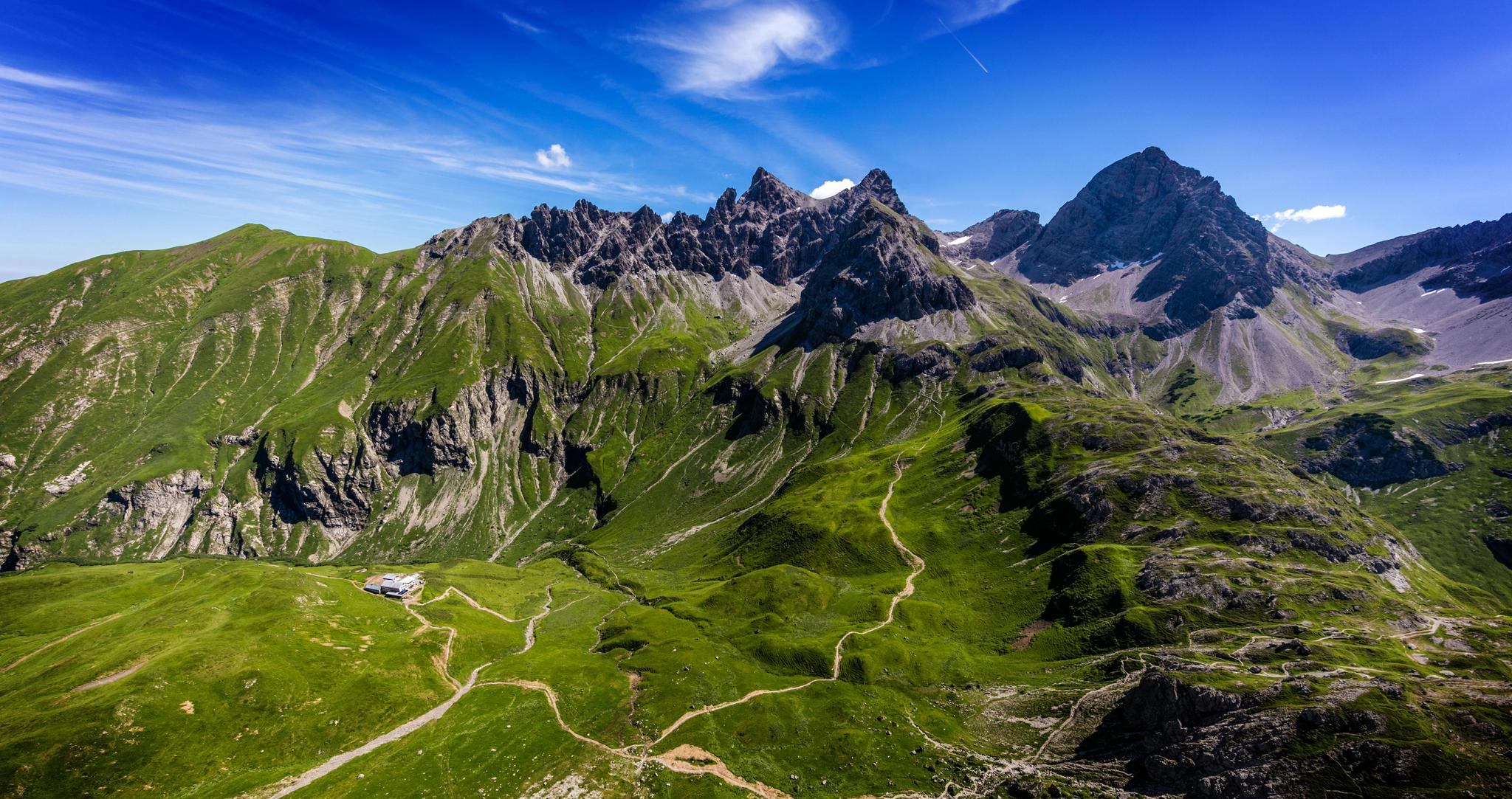
ゾルグシュロフェンにあるフェルスントーアは、ゾルグシュロフェン(1,636 m)とツィンケン(1,613 m)の2つの山の頂上を結ぶ、挑戦的な稜線ルートの顕著で狭い岩の裂け目であり、重要なポイントです。この通路は、マウンテンハイカーに全集中を要求する有名なキーポイントです。
14
0


美しいシュロテンヴェーク、グリュンテンゼーの周り
1
0

(有料)道路を通って自転車でアクセスするのは良いです。食べ物はとても美味しいです
0
0

Always impressive – especially in winter!
0
0

Super great Alpe, the cheese platter is mega delicious.
0
0

komootモバイルアプリでインスピレーションを得よう


さらに探索
他の地域の最高のハイキングを見てみましょう。
