イルシュヴァングの洞窟・トップ20
ハイキングの途中で偶然見つけた場合でも、ガイドブックに沿ってたどり着いた場合でも、いつも特別な体験をもたらしてくれる城。イルシュヴァングには訪れるべき 20
の美しい城があります。一覧から行きたい城を見つけて、次の冒険では歴史にも触れてみましょう。
最終更新日: 10月 9, 2026
リヒテンエッグ城跡
ハイライト • 城
翻訳者 Google •
役立つ情報 は

ネイドシュタイン城
ハイライト • 城
翻訳者 Google •
役立つ情報 は
今すぐサインアップして、こんな場所を発見しよう
最高のシングルトラック、ピーク、その他のエキサイティングなアウトドアスポットのおすすめを受け取ろう。
カストルの修道院城
ハイライト • 城
翻訳者 Google •
役立つ情報 は

ハルテンフェルスの山頂と城跡
ハイライト • 山頂
翻訳者 Google •
役立つ情報 は

無料アカウントで今日から始めよう
次の冒険が待っています。

コミュニティからのヒント

An old hilltop castle, long used as a monastery by various religious orders. Today it houses the police academy. It lies on a dolomite spur above the valley. This is also where the "Hochholz Trail" begins, which is not to be missed.
0
0

The Kastl castle complex has towered over the Lauterach Valley since the 10th century. In 1098, it was decided to convert the castle into a monastery. Description: It was founded in 1103, and the choir and St. Egidius Chapel were consecrated in 1129. Construction of the monastery church was completed at the end of the 12th century. Through constant renovations and expansions, the church acquired its present appearance. In 1782, it became the property of the Knights of Malta. The basilica has been used as a parish church since 1808. A late Gothic main portal, a four-bay barrel vault, the alternating support of columns and pillars in the nave, and the Gothic stone tomb in the vestibule, which was once the tomb of the deceased Princess Anna, make the church a true gem. Princess Anna was the daughter of King Ludwig the Bavarian and died in 1319. The mummy of the one-and-a-half-year-old "Kastl Child" was preserved until the end of 2013 and can be viewed again. The antechamber also houses the sarcophagus of General Schweppermann. [ Source: https://www.ostbayern-tourismus.de/attraktionen/klosterburg-kastl-fd22a56fae ]
1
0

Very beautiful monastery castle currently serves as a police training center
0
0

Poppberg Castle Ruins It is difficult to determine from the sources when the castle was built. It is particularly unclear whether the mentioned castles and lords of the "Puchberg," "Puckberg," or "Pocksberg" are identical with the Poppbergs. A coat of arms of the "Pocksberg" appears in the Kastl monastery church in the row of founders' coats of arms on the south side of the nave. It can be assumed that the castle was founded to control the "high road" from Prague to Nuremberg, perhaps even under the Counts of Sulzbach, who ruled until 1188. In any case, the village of Poppberg is mentioned as belonging to the Fürnried parish as early as 1139. However, the castle's existing buildings show no signs of such an early foundation; they are more consistent with the period after 1300, when tower-like residential buildings became fashionable. The first truly confirmed reference to the castle appears in 1373, when the so-called New Bohemian Lands of Emperor Charles IV passed into the hands of the Bavarian duke. Poppberg was part of this Bohemian territory on Upper Palatinate soil, founded by Charles in 1353, but dissolved after his death. The Bavarian dukes pawned the castle to their Palatinate relatives in 1395, but redeemed the pledge in 1451. What seems odd is that two years later the castle is described as "deserted and desolate," meaning it was already abandoned. In 1505, after the Landshut War of Succession, Poppberg passed to the Duchy of Palatinate-Sulzbach, and in 1791 to Bavaria, but remained abandoned and fell into disrepair until the present day. The entrance to the castle is protected by a narrow tower on a pointed rock formation that forms the highest point of the castle. The upper part of the tower is occupied by a recently built, concreted shelter, which served as an air observation post during World War II. A circular wall adjoins the rock formation, forming a clearly visible edge of the terrain and extending extensively around the entire area. Traces of soil near the entrance suggest several utility buildings. The most impressive part of Poppberg is the residential building, a typical late medieval mixture of residential tower and palace dating from after 1300. The lower floor of the building probably served as a pantry and kitchen. The second floor is much more residential, with larger windows and two large entrances leading to the former battlements on either side. A third floor is suspected. Source: www.burgenseite.de
5
0

Small, privately owned castle located on the Neidstein. Was briefly owned by Nicolas Cage, the Hollywood actor. Unfortunately, it cannot be easily visited.
0
0

Great monastery castle with an amazing view - be sure to take the small juniper hiking trail!
0
0
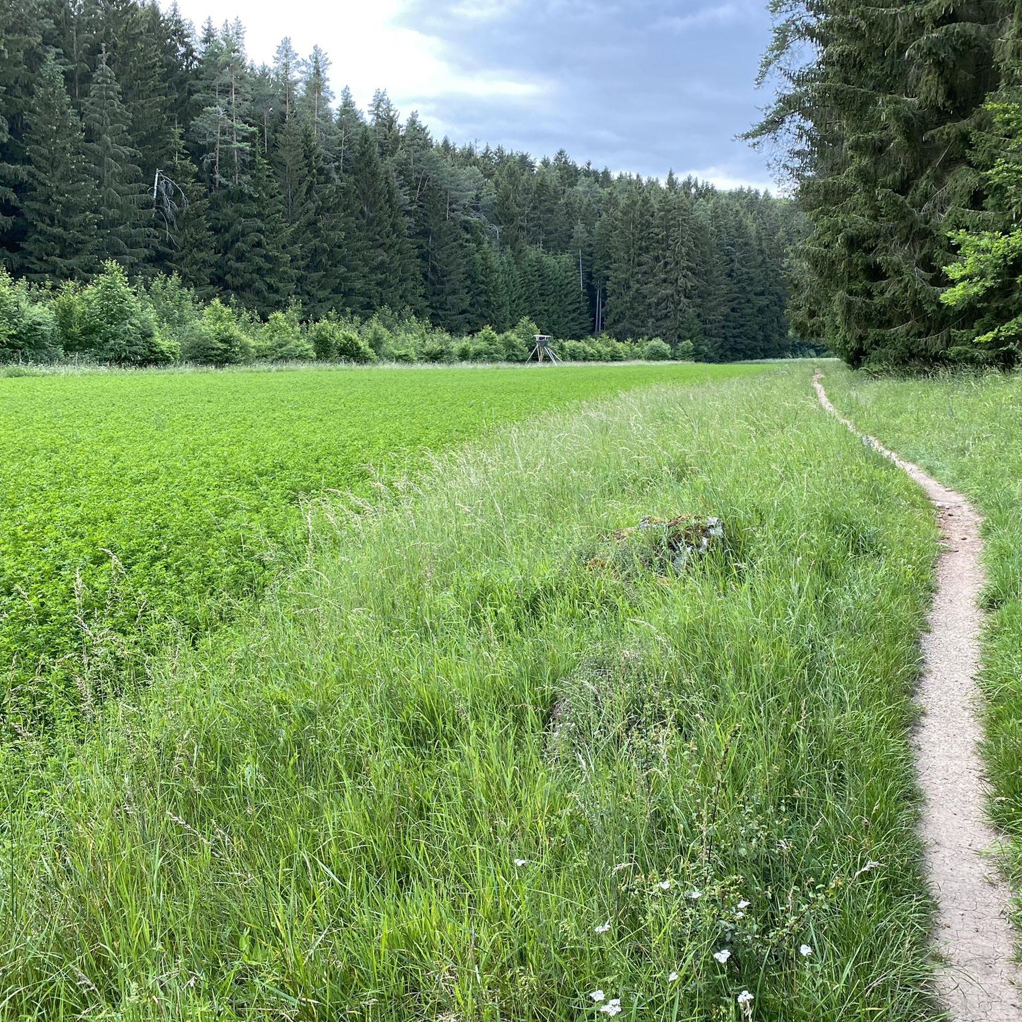
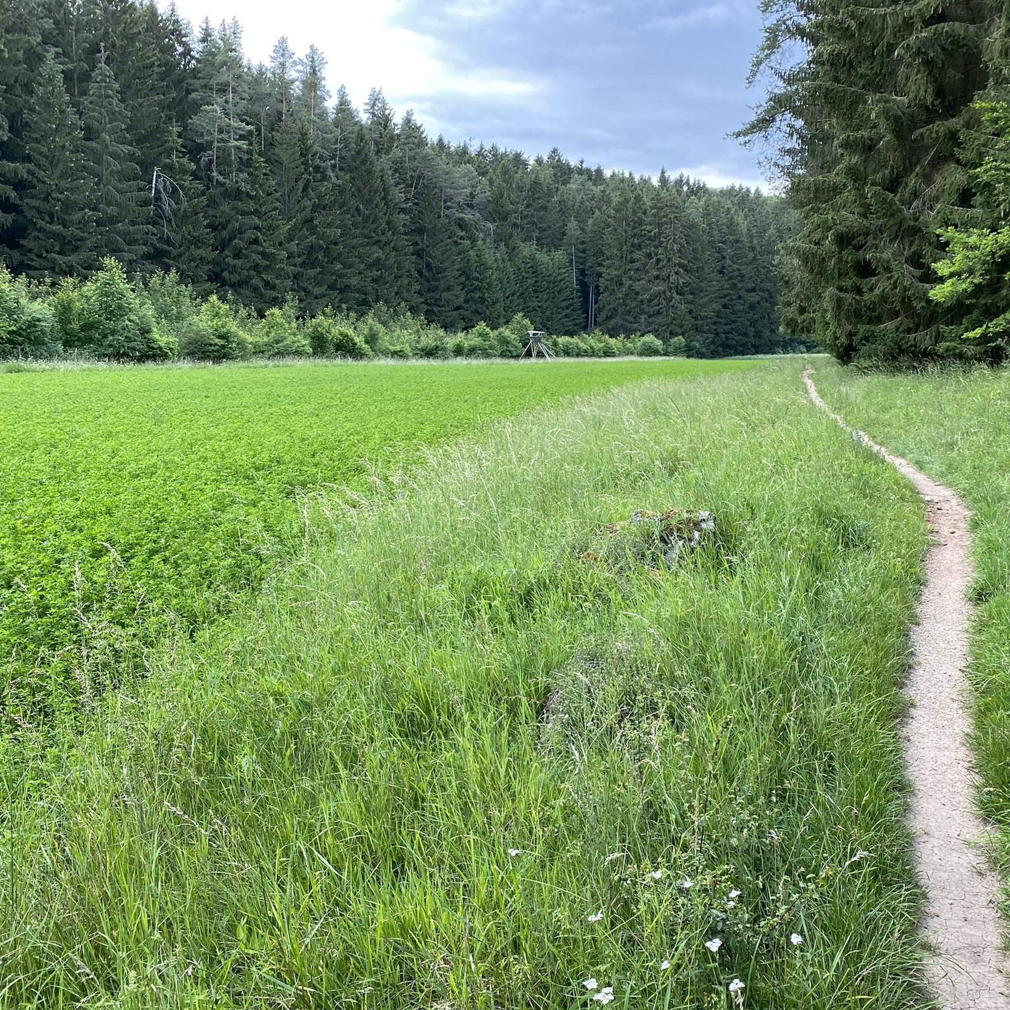
Burgstall Hartenfels The site of the abandoned spur castle is located in the Middle Franconian Jura, on a southwest-facing rocky spur of the Great Hartenfels at 530.6 m above sea level. The castle was probably built during the 13th century by the Lords of Neidstein, but there is no mention of the castle itself. It is only mentioned indirectly in a document dated February 21, 1268, in the name of Heinrich von Hertenvels. In addition to the high medieval fortification on the Hartenfels, there are also the remains of a prehistoric structure at the same location. A long section of the rampart, about half a meter high, has been preserved, which arches around the mountain spur outside the moat of the medieval castle and thus sealed it off. Today, the site of the former castle is completely overgrown with forest, and only two ditches and the remains of the foundation walls of the former ring wall have survived. The former hilltop castle was once divided into two areas, an outer bailey at the transition from the spur to the flat summit area or plateau of the Hartenfels, and a main castle at the rocky tip of the mountain spur, in the best protected place by nature. The outer bailey was protected by a two-meter-deep and about ten-meter-wide moat. The area of the outer bailey is irregularly shaped, as it was adapted to the rocky terrain between the plateau and the rocky spur. As it was easily attacked from the plateau, it had to be protected on its north-east side by a strong wall, of which a 4.50-meter-wide and one-meter-high rampart still remains. Approximately in the middle of this rampart, a 3.80-meter-wide break gives an idea of the former entrance to the castle, and even today you enter the castle grounds at this point. The main castle has a trapezoidal area about 50 meters long and 25 meters wide. On its west and south sides it is well protected by the vertical drop of the rocks by several meters and the steep eastern slope also offered sufficient protection. Only at the northwest corner is a small remnant of a wall still visible above ground. There are no further traces of construction on the flat surface of the main castle, apart from an almost square pit in the middle of the area. This pit measures 4 by 3.50 meters and could be the remains of a cistern or a cellar room. Source: Excerpts from www.wikipedia.de
2
0

Kastl Abbey Castle is the largely preserved hilltop castle and later Kastl Monastery, located on a long dolomite peak above the Lauterach Valley, high above Kastl in the Amberg-Sulzbach district of Bavaria. It is listed as an architectural monument under the file number D-3-71-132-21. "Archaeological findings from the Middle Ages and the early modern period in the area of the former Benedictine Abbey of Kastl" are also listed as an archaeological monument under the file number D-3-6636-0070. The castle complex was probably founded in the Carolingian period. In 954, Margrave Luitpold of Austria is said to have received Kastl Castle as a fief. In the same year, Luitpold owned the entire Heubischgau region, including Kastl, Habsberg, Illschwang, and Sulzbach. In 1098, the castle had three owners: Count Berengar of Sulzbach, Frederick I of Habsberg-Kastl with his son Count Otto of Habsberg-Kastl, and Luitgard of Zähringen, wife of Margrave Diepold II of Vohburg. Between 1098 and 1102, the owners agreed to convert the castle into a Benedictine monastery.[1] On May 12, 1102, Pope Paschal II confirmed the founding of the monastery. Source: Wikipedia
3
0
イルシュヴァングでのの人気観光スポット

komootモバイルアプリでインスピレーションを得よう


さらに探索
他の場所で最高の城を探していますか?他のガイドを発見しましょうイルシュヴァングでの:
