クラウスタールツェラーフェルトのおすすめMTBライド
4.5
(2864)
9,106
ライダー
259
ライド
クラウスタールツェラーフェルト周辺でのマウンテンバイクは、その地形を最大限に楽しむのに最適なスポーツですが、ライドのスタート地点を探すのが難しいこともあります。クラウスタールツェラーフェルト周辺でおすすめのルートが見つかるように、人気マウンテンバイクルートをご紹介します。
最終更新日: 10月 10, 2026
4.5
(110)
377
ライダー
31.2km
02:51
690m
690m
中程度のマウンテンバイクライド. ある程度のフィットネスレベルが必要です。 高度なライディングスキルが必要です。
4.6
(101)
325
ライダー
26.7km
02:11
520m
520m
中程度のマウンテンバイクライド. ある程度のフィットネスレベルが必要です。 高度なライディングスキルが必要です。

4.2
(48)
130
ライダー
22.0km
01:53
540m
540m
中程度のマウンテンバイクライド. ある程度のフィットネスレベルが必要です。 高度なライディングスキルが必要です。
4.7
(136)
403
ライダー
32.5km
02:56
820m
820m
中程度のマウンテンバイクライド. ある程度のフィットネスレベルが必要です。 あらゆるスキルレベルに適しています。
4.7
(63)
189
ライダー
33.0km
02:36
590m
590m
中程度のマウンテンバイクライド. ある程度のフィットネスレベルが必要です。 高度なライディングスキルが必要です。
さらに多くのルートや他のユーザーのおすすめ情報を確認できます。
すでにアカウントをお持ちですか?
おすすめのツアーは他のkomootユーザーが実際に経験した何千ものアクティビティに基づいています。

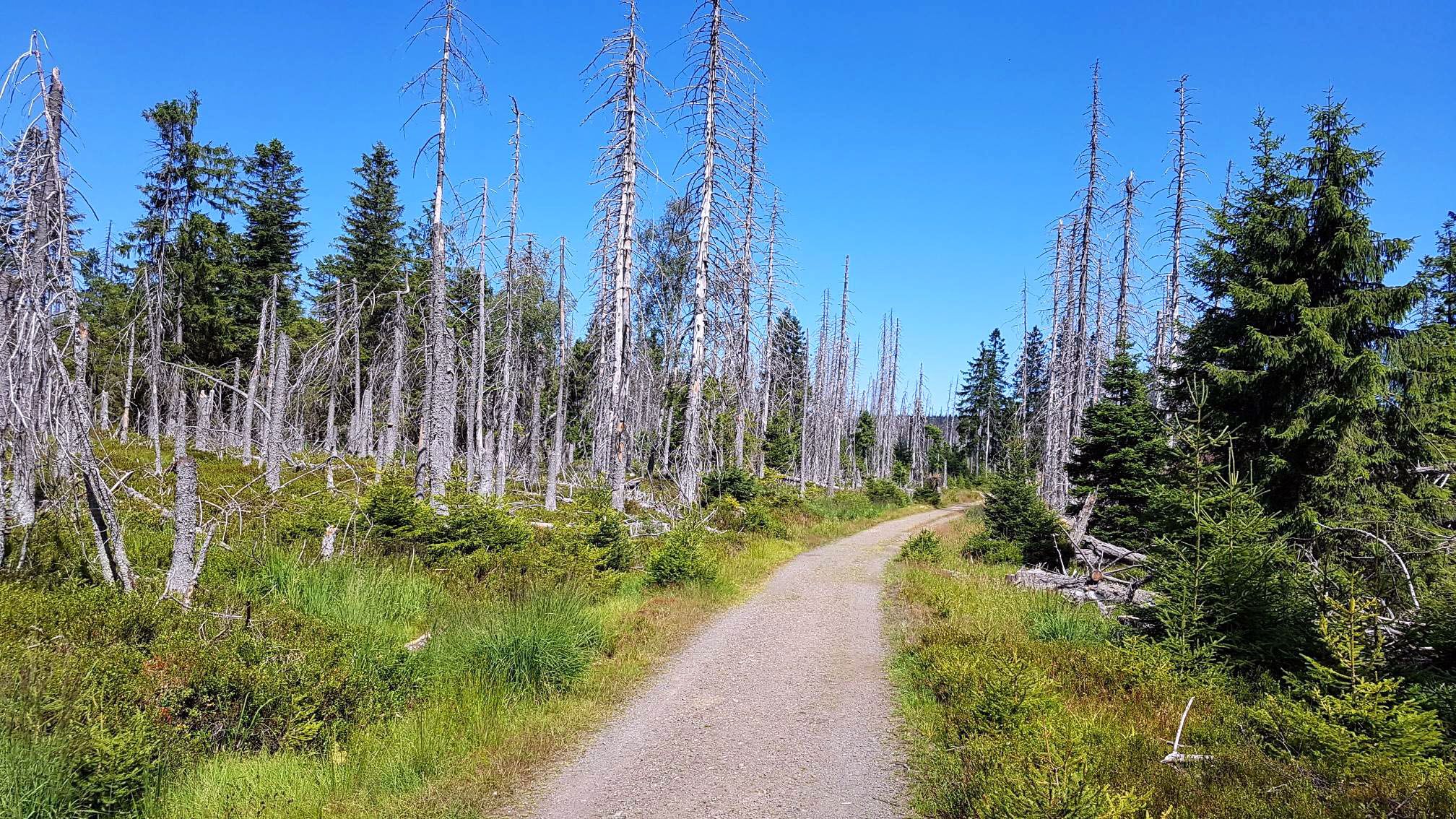
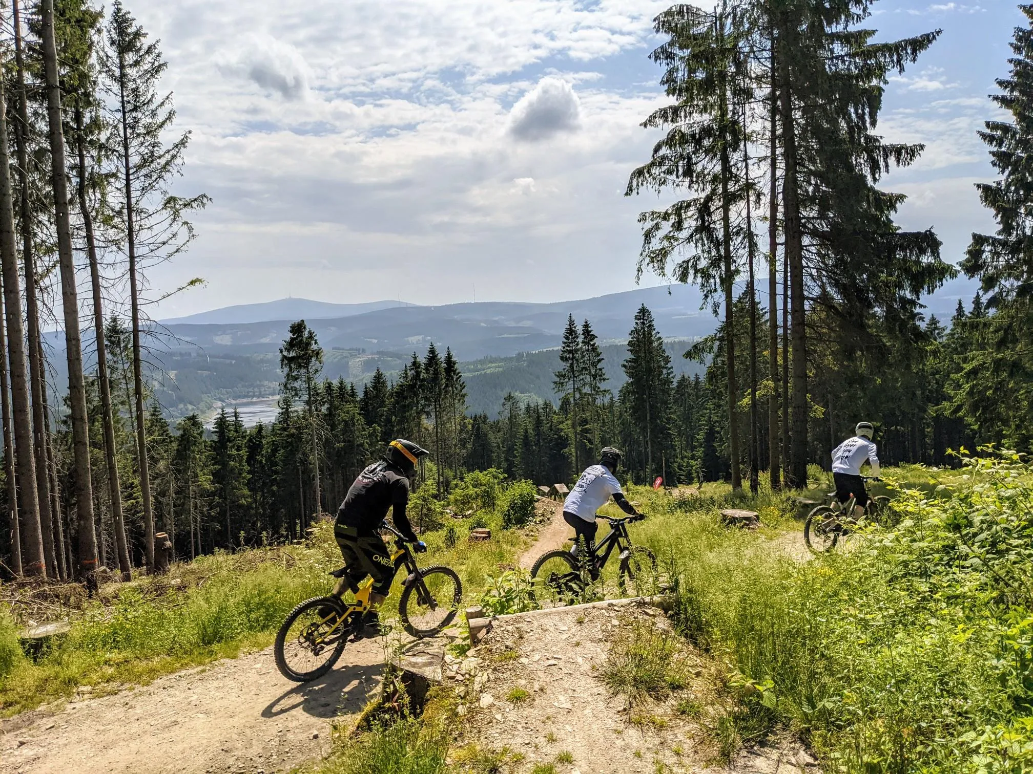
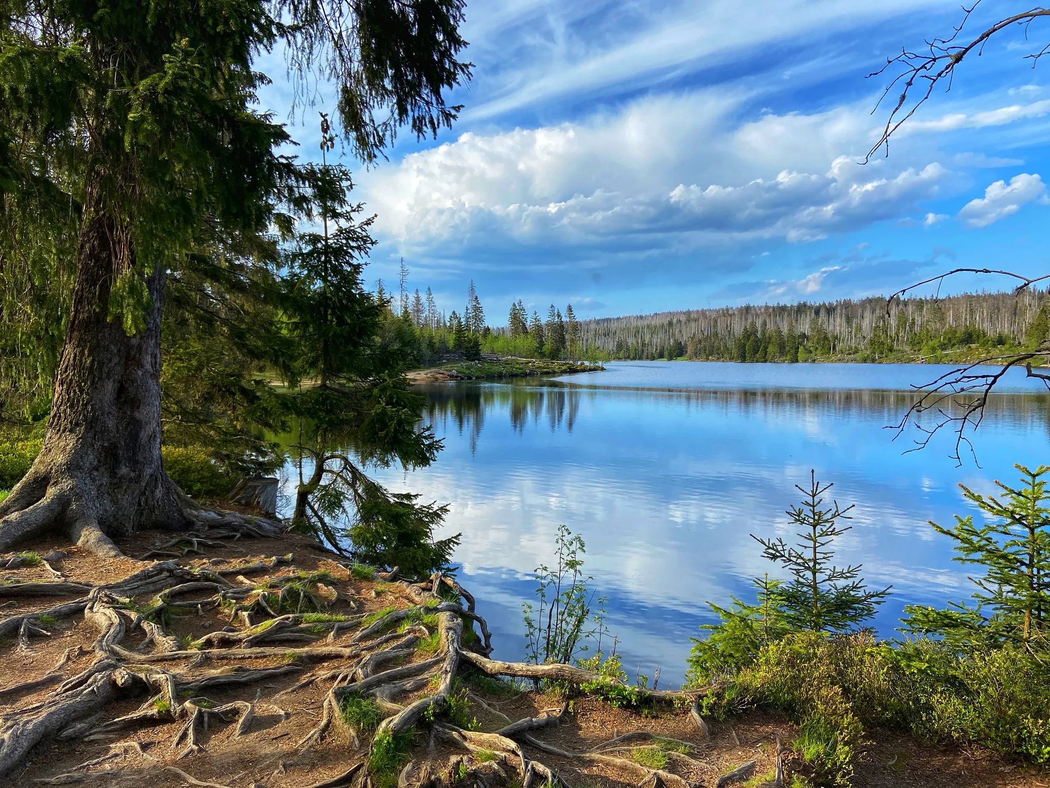
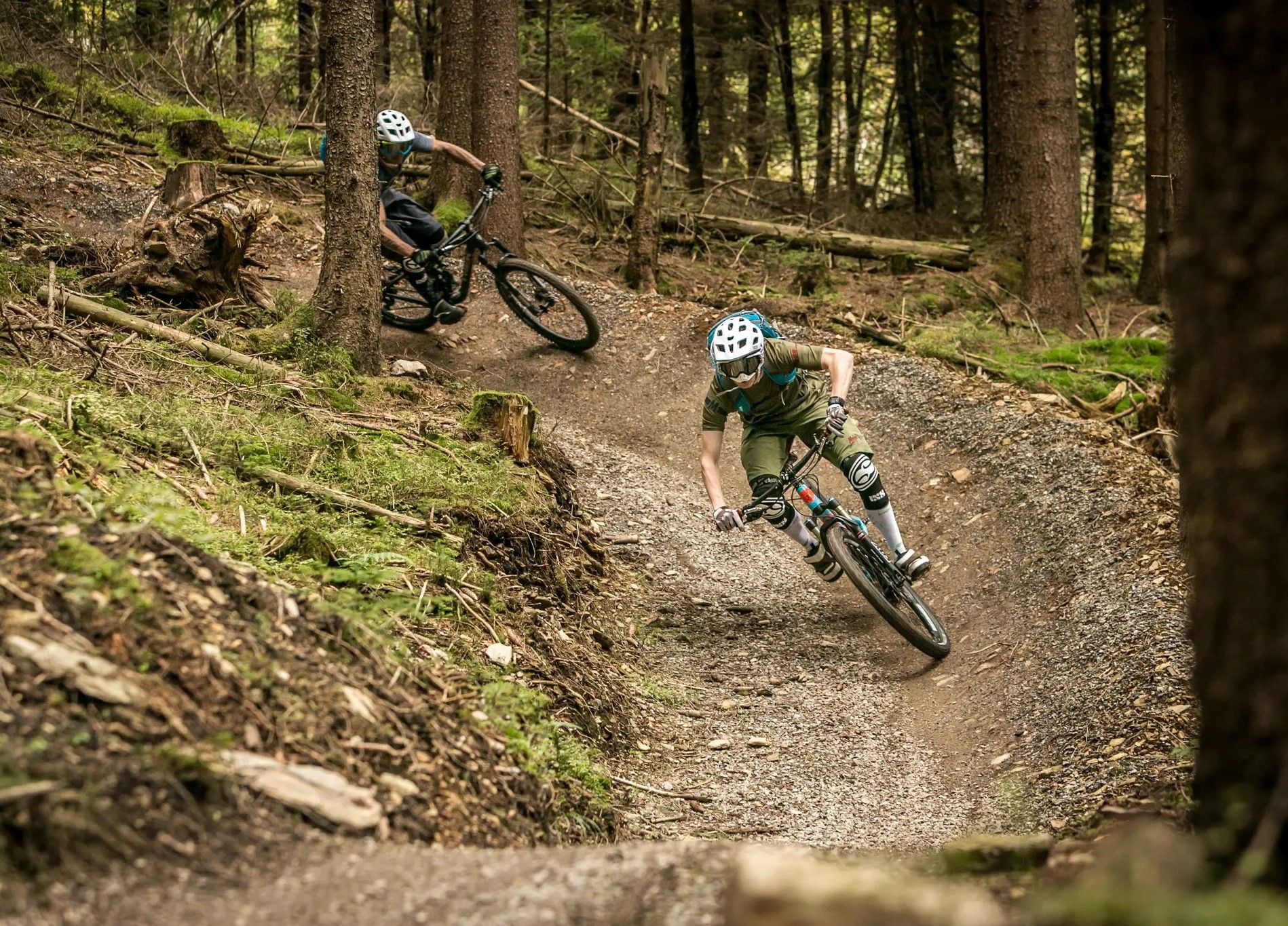
クラウスタールツェラーフェルトでのの他の冒険


コミュニティからのヒント

素晴らしい、本当の障害物がない非常に簡単なシングルトラックで、非常にスムーズに走れます。
0
0


It's beautiful when the clouds and colorful trees are reflected in the water in autumn.
1
0

The church was built in ten months from 1907 to 1908. Its model was the much older stave churches of Norway. Prof. Karl Mohrmann, consistorial master builder of the Hanoverian regional church, drew inspiration from Nordic churches, but adapted the size and design to the needs of the congregation. Thus, the Hahnenklee Stave Church, with its 240 seats, is larger than its Norwegian counterparts, and the relatively large windows allow plenty of light into the interior. The local craftsmen used spruce wood from the surrounding area as building material, which also made construction more cost-effective than the originally planned neo-Gothic brick structure. Many elements of the architectural style are reminiscent of shipbuilding, even somewhat of Viking ships with their numerous dragons on the roof and in the decorations. The chandelier is modeled after a ship's wheel.
9
0

The reservoir supplies drinking water to the cities of Braunschweig, Wolfenbüttel, and Wolfsburg. The water is piped to the Lewerberg reservoir near Liebenburg, where drinking water from the Grane Dam also arrives. From there, a pipeline leads to the Thieder Lindenberg and further to the cities of Braunschweig and Wolfsburg. The water of the Ecker River is relatively acidic, with a pH of 4.6, due to the humic acid-rich moor streams. It is also low in nutrients and therefore well suited for drinking water treatment.[3] The dam is not used for fishing, as most fish cannot tolerate the low pH.[5] Below the dam, the water is almost neutral. Source: https://de.wikipedia.org/wiki/Eckertalsperre
3
0
The Ecker Dam (sometimes also called the Ecker Reservoir) is a dam near Bad Harzburg in the Harz Mountains, which was commissioned in 1943[1] and impounds the Ecker River and its tributaries. Operated by Harz Waterworks, the facility serves to supply drinking water, protect against flooding, increase low water levels, and generate energy.[2] Source: https://de.wikipedia.org/wiki/Eckertalsperre
3
0

The dam was built as an earthwork, meaning it was filled with earth and rock. This dam fill material was extracted locally and is predominantly stony. The dam lining consists of turf and runs along the waterside slope. It is a pond of the "old design," but at an unknown date it was converted to the new design with a rake shaft in the center of the dam. Source: Wikipedia
6
1
クラウスタールツェラーフェルトでのの人気ルート
クラウスタールツェラーフェルトでのの人気観光スポット

komootモバイルアプリでインスピレーションを得よう


さらに探索
他の地域の最高のMTBトレイルを見てみましょう。
