クラウスタールツェラーフェルトのおすすめウォーキング&ハイキングルート
4.5
(28186)
93,899
ハイカー
797
ハイキング
クラウスタールツェラーフェルト 周辺でおすすめのハイキングやウォーキングを楽しんでいただけるように、このエリアの小径やルートを集めたkomootコレクション全体を見直しました。 以下で各ルートの詳細をご覧になり、クラウスタールツェラーフェルト周辺の大自然を満喫する際の参考にしてください。
最終更新日: 10月 3, 2026
4.8
(4381)
15,810
ハイカー
17.5km
04:55
350m
350m
中程度のハイキング. ある程度のフィットネスレベルが必要です。 進みやすいルートです。あらゆるスキルレベルに適しています。
4.7
(827)
3,196
ハイカー
6.07km
01:38
80m
80m
初級者向けハイキング. あらゆるフィットネスレベルに適しています。 進みやすいルートです。あらゆるスキルレベルに適しています。

4.7
(1148)
3,605
ハイカー
11.4km
03:06
160m
160m
中程度のハイキング. ある程度のフィットネスレベルが必要です。 進みやすいルートです。あらゆるスキルレベルに適しています。
4.8
(696)
1,879
ハイカー
16.8km
04:42
330m
330m
中程度のハイキング. ある程度のフィットネスレベルが必要です。 進みやすいルートです。あらゆるスキルレベルに適しています。
4.7
(524)
1,711
ハイカー
11.9km
03:20
230m
230m
中程度のハイキング. ある程度のフィットネスレベルが必要です。 進みやすいルートです。あらゆるスキルレベルに適しています。
さらに多くのルートや他のユーザーのおすすめ情報を確認できます。
すでにアカウントをお持ちですか?
おすすめのツアーは他のkomootユーザーが実際に経験した何千ものアクティビティに基づいています。
無料アカウントで今日から始めよう
次の冒険が待っています。
クラウスタールツェラーフェルト周辺で人気
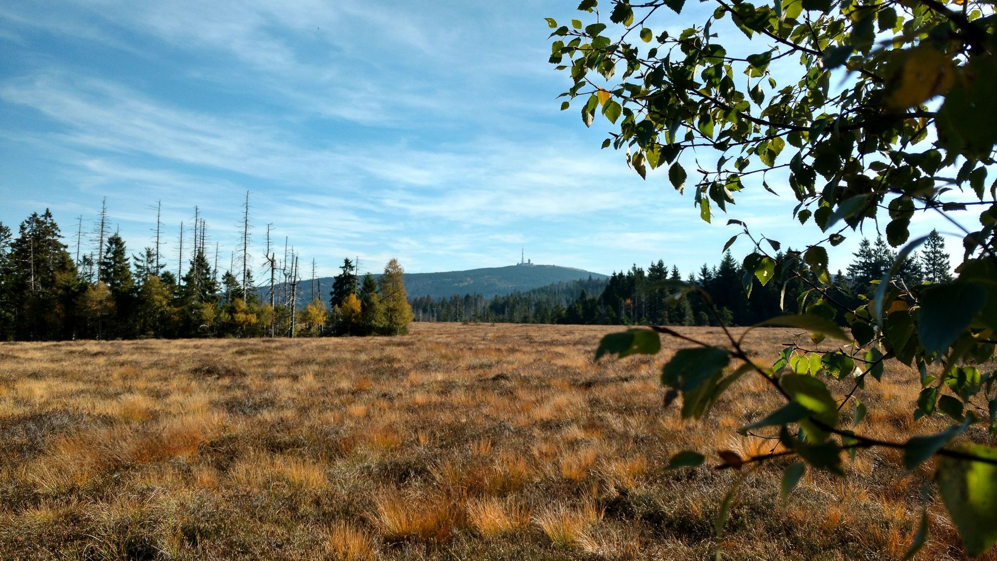
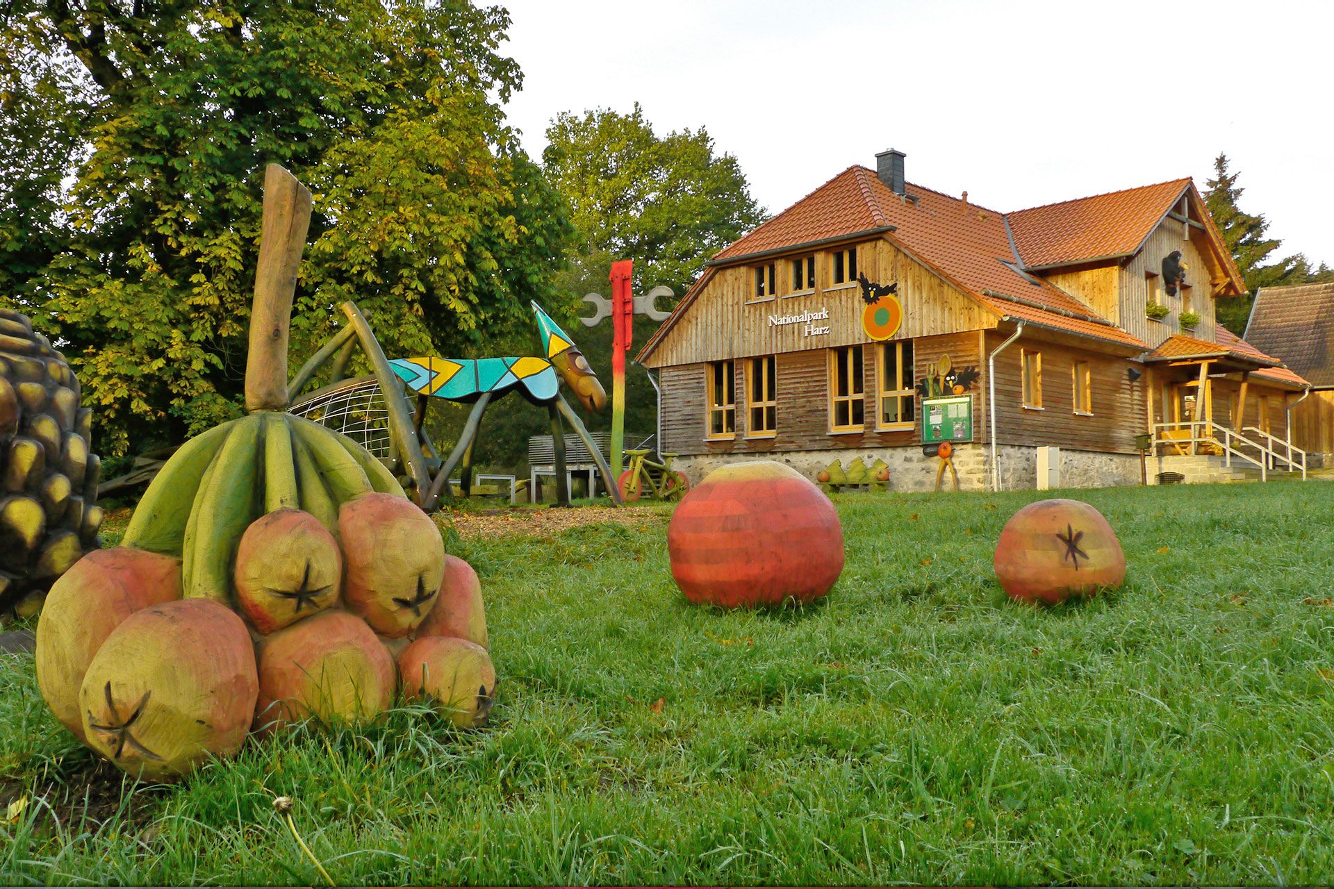
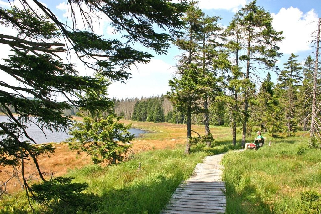


クラウスタールツェラーフェルトでのの他の冒険


コミュニティからのヒント


スタンプボックスがここに移されて良かった。これにより、場所がハイキングニードルにうまく組み込まれた。
3
0

We visited on a sunny and snowy winter day in January. Even (or perhaps especially) with everything covered in a thick blanket of snow, it was an absolutely beautiful scene. The Oderteich pond was easily accessible via the large parking lot located across the road. The paths around the Oderteich were quite narrow on this winter day, which made things a bit tight at times with two dogs, especially when encountering oncoming traffic. But somehow, we always managed to make it work. :) Oh, and the name "Oderteich" shouldn't be taken too literally; the path around it is almost 5 km long. :)
2
0
We visited on a sunny and snowy winter day in January. Even (or perhaps especially) with everything covered in a thick blanket of snow, it was an absolutely beautiful scene. The Oderteich pond was easily accessible via the large parking lot located across the road. The paths around the Oderteich were quite narrow on this winter day, which made things a bit tight at times with two dogs, especially when encountering oncoming traffic. But somehow, we always managed to make it work. :) Oh, and the name "Oderteich" shouldn't be taken too literally; the path around it is almost 5 km long. :)
1
0


The church was built in ten months from 1907 to 1908. Its model was the much older stave churches of Norway. Prof. Karl Mohrmann, consistorial master builder of the Hanoverian regional church, drew inspiration from Nordic churches, but adapted the size and design to the needs of the congregation. Thus, the Hahnenklee Stave Church, with its 240 seats, is larger than its Norwegian counterparts, and the relatively large windows allow plenty of light into the interior. The local craftsmen used spruce wood from the surrounding area as building material, which also made construction more cost-effective than the originally planned neo-Gothic brick structure. Many elements of the architectural style are reminiscent of shipbuilding, even somewhat of Viking ships with their numerous dragons on the roof and in the decorations. The chandelier is modeled after a ship's wheel.
9
0
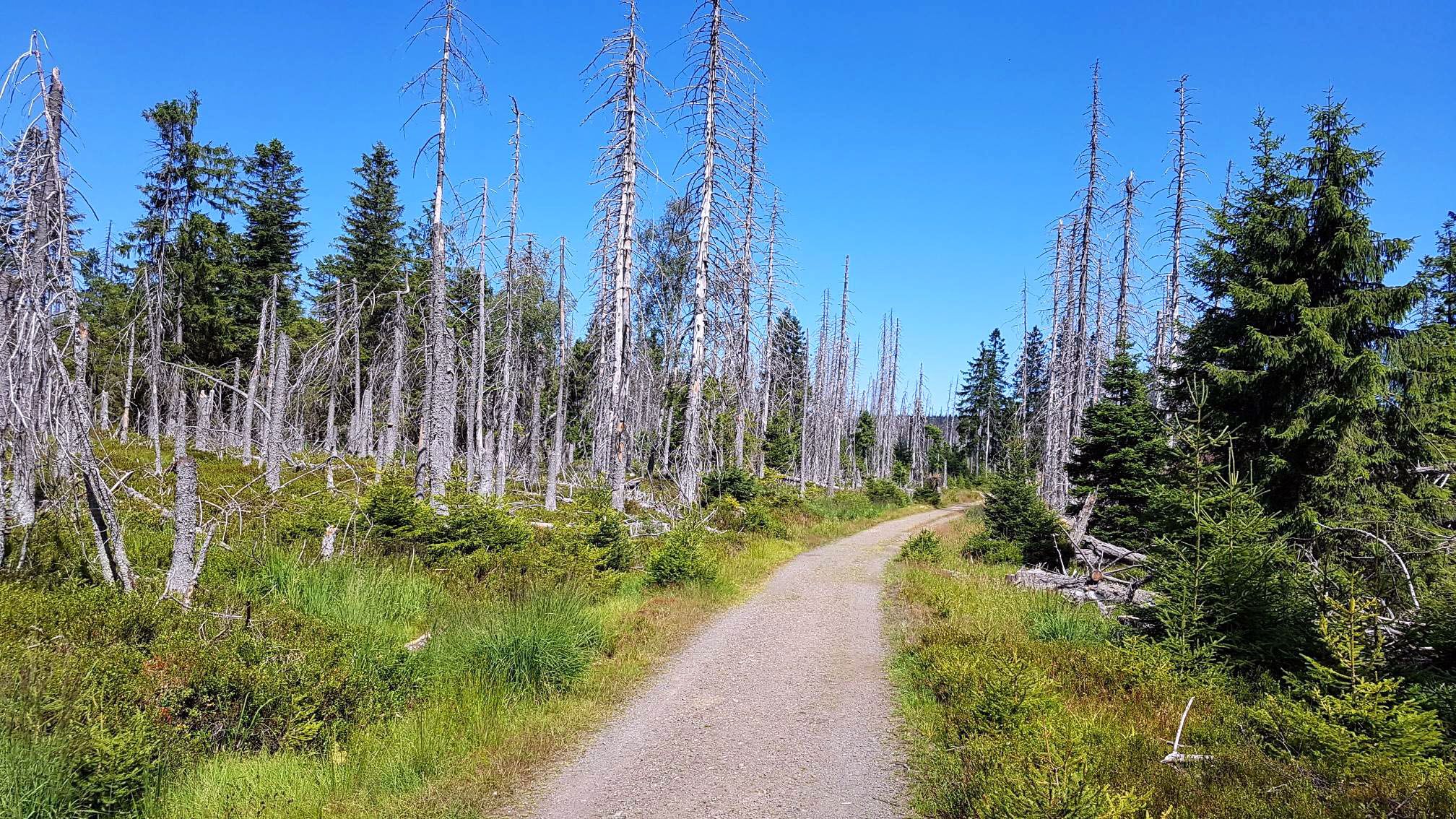
All critics of the national park should take a look at this piece of forest. A near-natural forest has developed here in 30 years without human intervention.
6
0

A beautiful spot! The water—deep blue from a distance, purple to amber up close. There are two swimming areas. A must-do walk! Root paths, streams, moorland, and wooden walkways. A very varied route.
0
1
クラウスタールツェラーフェルトでのの人気ルート
クラウスタールツェラーフェルトでのの人気観光スポット

komootモバイルアプリでインスピレーションを得よう


さらに探索
他の地域の最高のハイキングを見てみましょう。
