ヴェヒタースバッハ周辺のアトラクション&必見スポット - トップ20
ヴェヒタースバッハには必見のスポットがたくさんあります。ハイキング愛好家やサイクリング愛好家の方は、ぜひヴェヒタースバッハを探索してこのエリアにある20
の隠れたスポットを訪れてみてください。このエリアの必見スポットを確認し、次の冒険に出かける計画を立てましょう。
最終更新日: 9月 12, 2026
バート・オルブのグラディアーヴェルク
ハイライト • 記念碑
Above all, these old graduation towers are …
翻訳者 Google •
役立つ情報 は

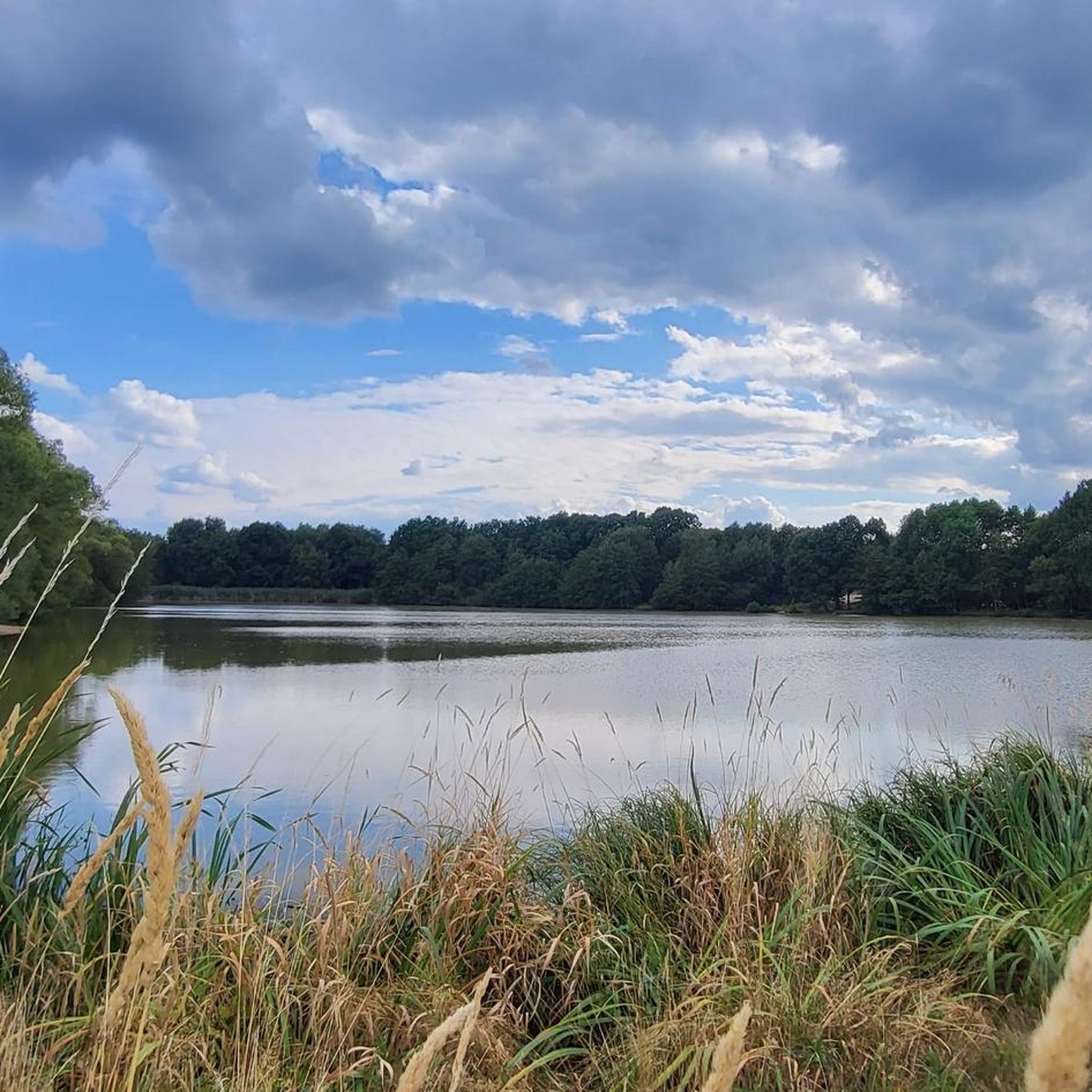
キンツィヒ貯水池
ハイライト • 湖
翻訳者 Google •
役立つ情報 は

今すぐサインアップして、こんな場所を発見しよう
最高のシングルトラック、ピーク、その他のエキサイティングなアウトドアスポットのおすすめを受け取ろう。
キンツィク川の氾濫原
ハイライト • 川
翻訳者 Google •
役立つ情報 は

ビューディンゲン
ハイライト • 歴史的な場所
翻訳者 Google •
役立つ情報 は

キンツィヒタール自転車道
ハイライト • サイクリングロード
翻訳者 Google •
役立つ情報 は

無料でサインアップして、さらに多くの観光スポットを発見しましょう ヴェヒタースバッハでの。
すでにアカウントをお持ちですか?
無料アカウントで今日から始めよう
次の冒険が待っています。
ヴェヒタースバッハ周辺で人気
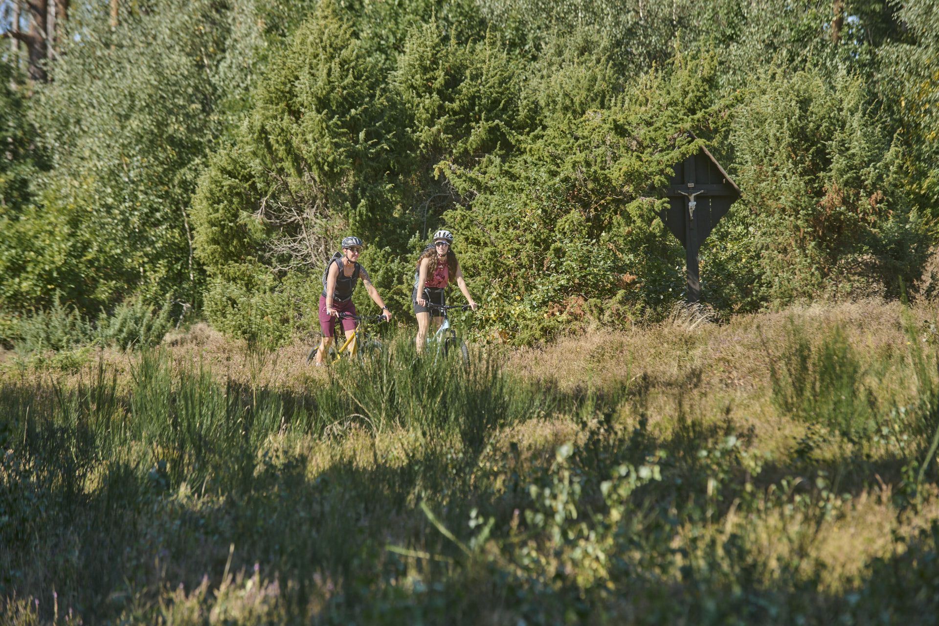
Nature, trails and local cuisine – MTB in the Spessart
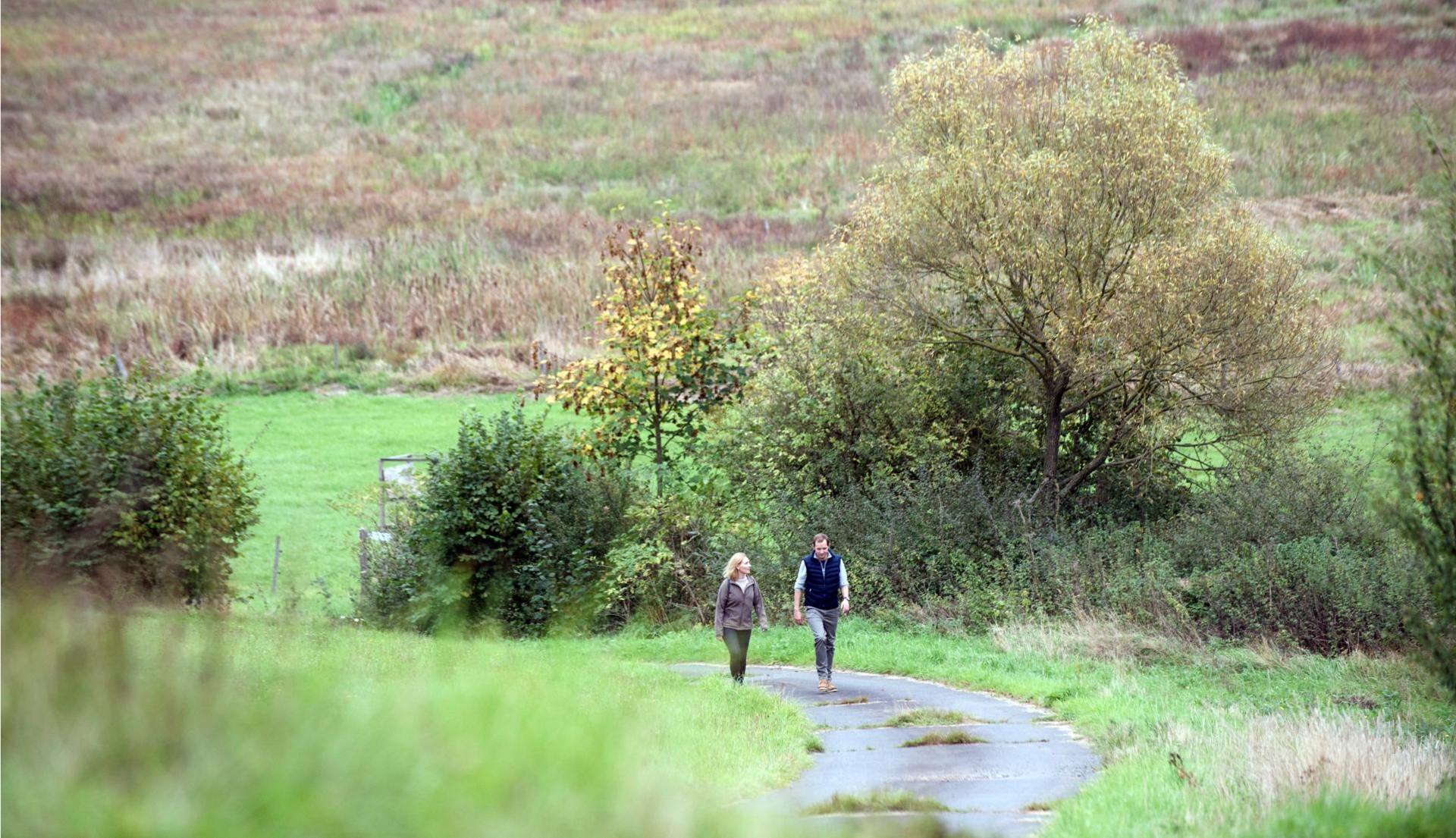
Pleasure hiking in the Spessart: trails that taste as good as they look

Bikepacking to road cycling to MTB – on Tour with RMV
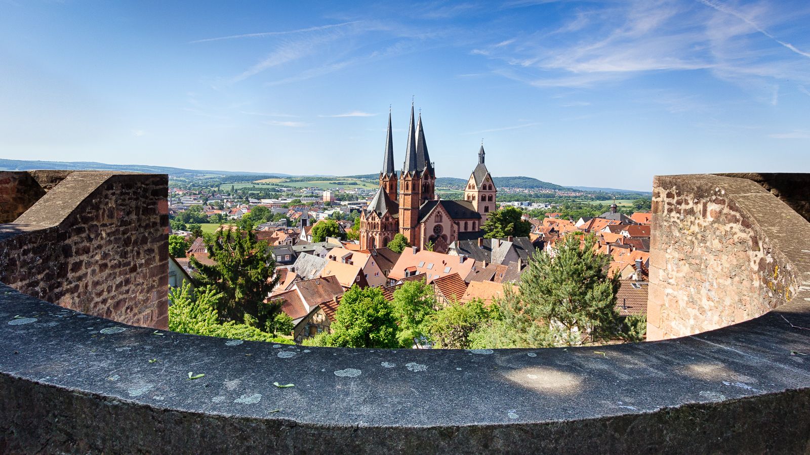
On the Way of St. James through Hesse – from the Fulda to the Main
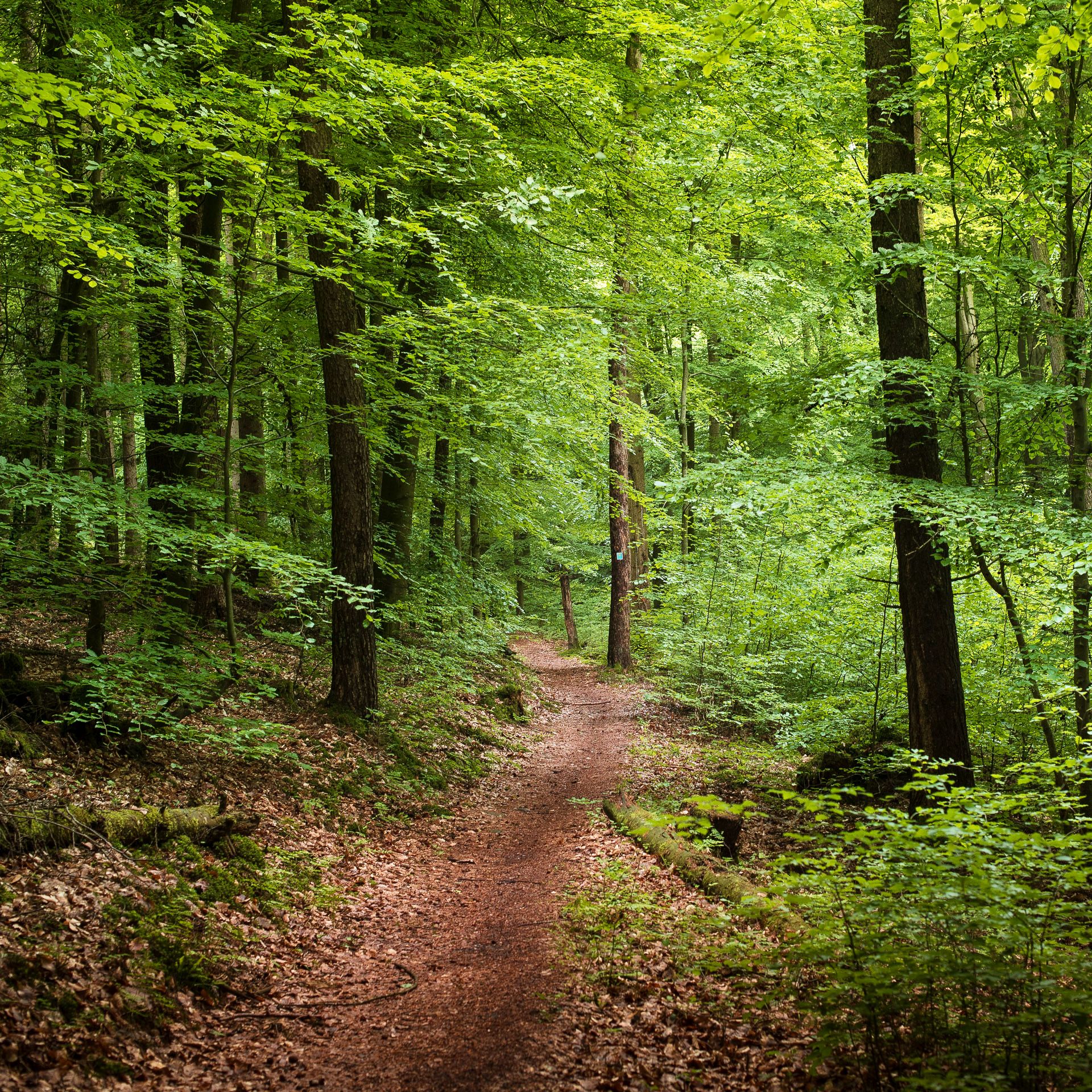
Endless forests, flowing trails – MTB in Germany’s Spessart region
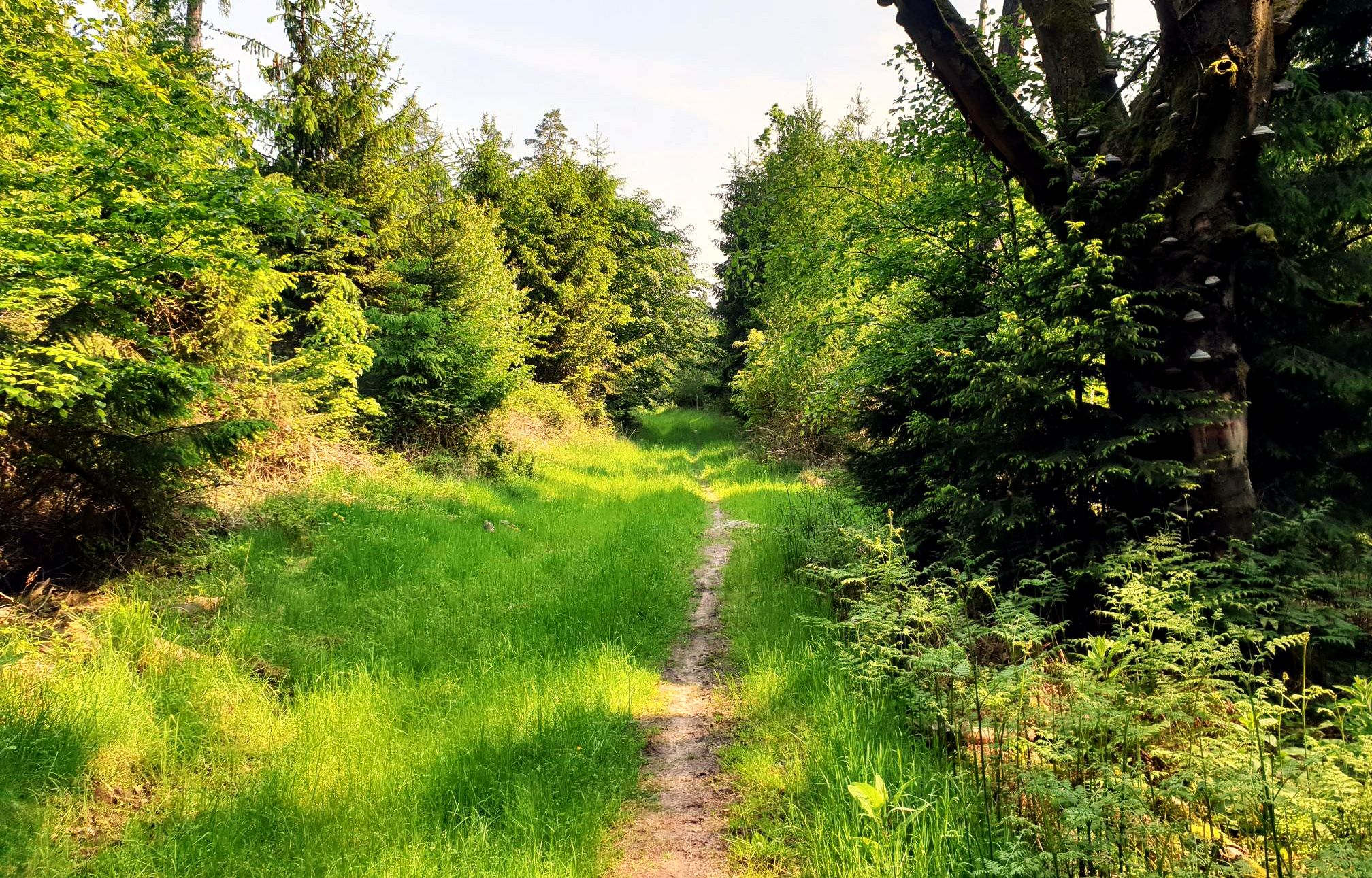
Mountain biking in the Spessart – Awesome trails in Germany
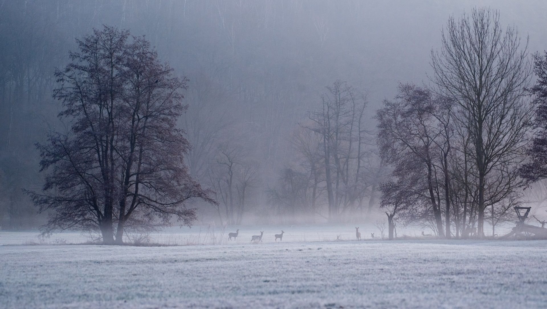
Die schönsten Winterwanderungen im Spessart
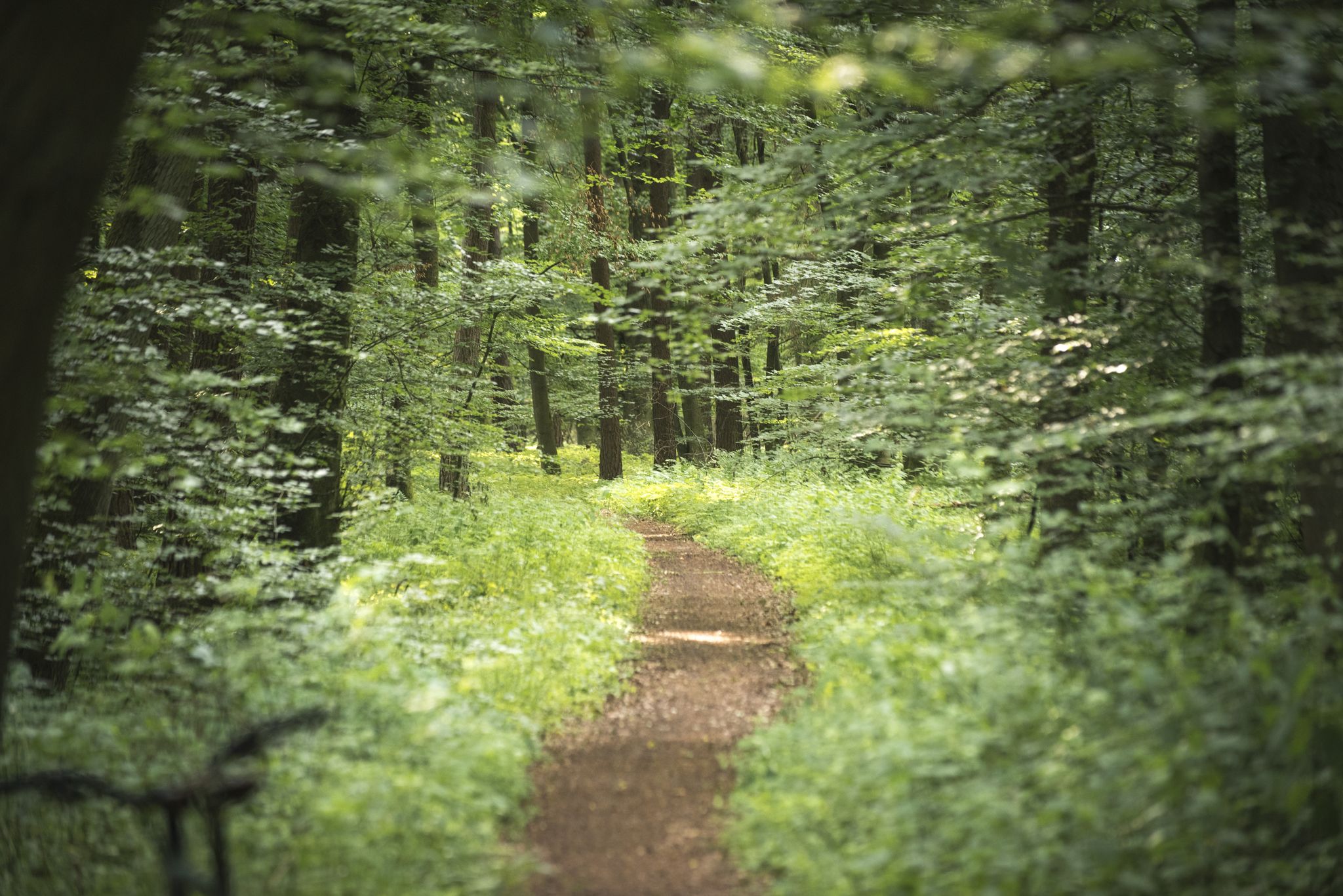
Die schönsten Premium-Spazierwanderwege im Hessischen Spessart
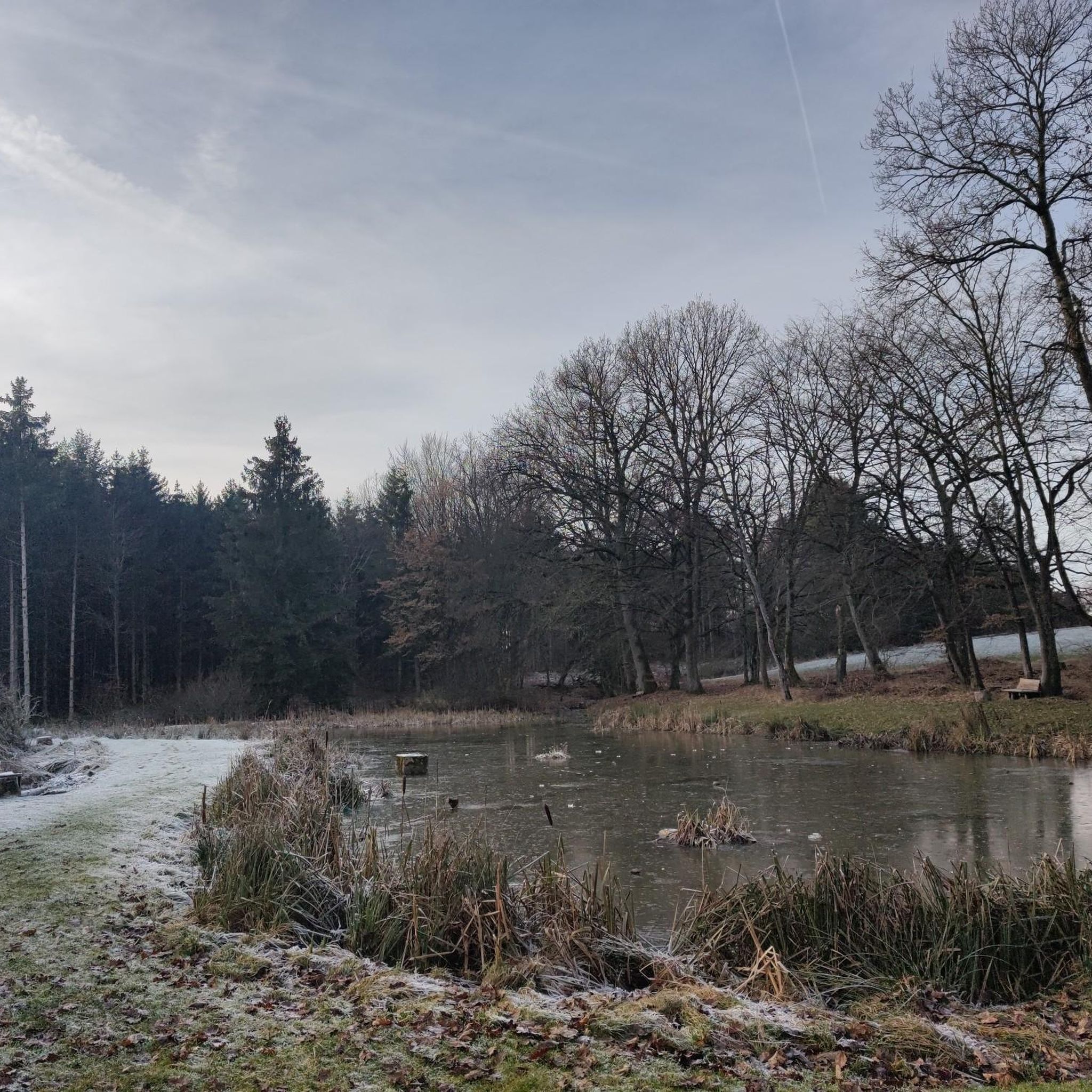
ヴェヒタースバッハでのサイクリング
ヴェヒタースバッハでのハイキング
ヴェヒタースバッハでのの他の冒険


コミュニティからのヒント


The Kinzig is a river approximately 86 kilometers long. It rises in Sterbfritz, flows southwest through the Main-Kinzig district of Hesse, and flows into the Main from the right in Hanau. The Kinzig is a second-order river in low mountain ranges. It overcomes an elevation of 301 meters and has a bed gradient of 3.5 per thousand. The Kinzig's catchment area covers 1,058 square kilometers, and the calculated mean discharge (MQ) at the mouth of the Kinzig is 10.97 cubic meters per second. The Kinzig was first documented in 796 as "iuxta fluvium Kincihen." In 815, the name was written as "Chinzicha," around 900 as "Kincicha"/"Kinzicham," in 1364 as "Kinzige," in 1584 as "Kintzig," in 1607 as "Bintz," in 1681 as "Kintz," in 1716 as "Kins," in 1769 as "Kinzing," and in 1802 as "Kinzig." In the river's headwaters, there was the now-defunct village of Kinzig, mentioned in 815 as "Chirizichheimero." The village and river were often confused by monastery scribes at that time with "Chizzicha" (now Bad Kissingen), both of which were described as being located in the Saalegau. The name presumably derives from the ancient Celtic *ku̯anti̯o- meaning "flat hill, valley." The name was therefore derived from the mountainous region from which the Kinzig flows. Source: Wikipedia
2
0
The Kinzig is a river approximately 86 kilometers long. It rises in Sterbfritz, flows southwest through the Main-Kinzig district of Hesse, and flows into the Main from the right in Hanau. The Kinzig is a second-order river in low mountain ranges. It overcomes an elevation of 301 meters and has a bed gradient of 3.5 per thousand. The Kinzig's catchment area covers 1,058 square kilometers, and the calculated mean discharge (MQ) at the mouth of the Kinzig is 10.97 cubic meters per second. The Kinzig was first documented in 796 as "iuxta fluvium Kincihen." In 815, the name was written as "Chinzicha," around 900 as "Kincicha"/"Kinzicham," in 1364 as "Kinzige," in 1584 as "Kintzig," in 1607 as "Bintz," in 1681 as "Kintz," in 1716 as "Kins," in 1769 as "Kinzing," and in 1802 as "Kinzig." In the river's headwaters, there was the now-defunct village of Kinzig, mentioned in 815 as "Chirizichheimero." The village and river were often confused by monastery scribes at that time with "Chizzicha" (now Bad Kissingen), both of which were described as being located in the Saalegau. The name presumably derives from the ancient Celtic *ku̯anti̯o- meaning "flat hill, valley." The name was therefore derived from the mountainous region from which the Kinzig flows. Source: Wikipedia
4
0

The R3 cycle path is a great cycle path in the Kinzig Valley. Most sections have a very good asphalt surface. The signage is also great.
5
1
It is a great place to cycle all year round.
3
0

Büdingen is a medium-sized town in Hesse on the eastern edge of the Rhine-Main region, in the southeastern part of the Wetterau district. Until 1972 it was the district seat of the district of the same name. Büdingen is located in a wooded area on the Seemenbach, at the transition from the Wetterau to the Vogelsberg. The city is known nationally for its medieval old town with castle, which is one of the best-preserved urban complexes in Europe. With an area of around 123 km², Büdingen is the largest city in the district and one of the largest in Hesse.
7
0
ヴェヒタースバッハでのの人気観光スポット

komootモバイルアプリでインスピレーションを得よう


さらに探索
まだ探しているハイライトが見つかりませんか?他の地域のトップアトラクションのガイドを見てみましょう:
